Barngouff Hill

Hill, Mountain in Kirkcudbrightshire

Scotland

Barngouff Hill

Hill Fort near Crossmichael called Crofts Mote on the OS 1:25000, near Croft farm
Hill Fort near Crossmichael Credit: Kirsty Smith

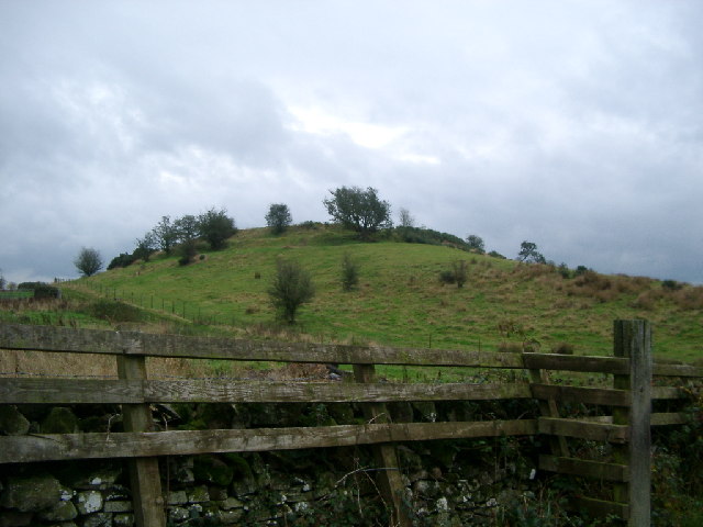
Barngouff Hill is a prominent hill located in the historical county of Kirkcudbrightshire, Scotland. Situated near the village of Auchencairn, it is a well-known landmark in the region.

Rising to an elevation of approximately 264 meters (866 feet), Barngouff Hill offers stunning panoramic views of the surrounding countryside and the nearby Solway Firth. It is part of the broader Galloway Hills range, which stretches across the southern region of Scotland.

The hill is mainly composed of granite and is covered in heather, giving it a picturesque appearance, especially during the summer months when the purple blooms of the heather are in full display. It is also home to a diverse range of flora and fauna, including various species of birds, butterflies, and small mammals.

Barngouff Hill is a popular destination for hikers and nature enthusiasts, thanks to its accessible trails and breathtaking vistas. Numerous paths lead to the summit, offering different levels of difficulty for walkers of all abilities. At the top, visitors are rewarded with breathtaking panoramic views that stretch as far as the eye can see.

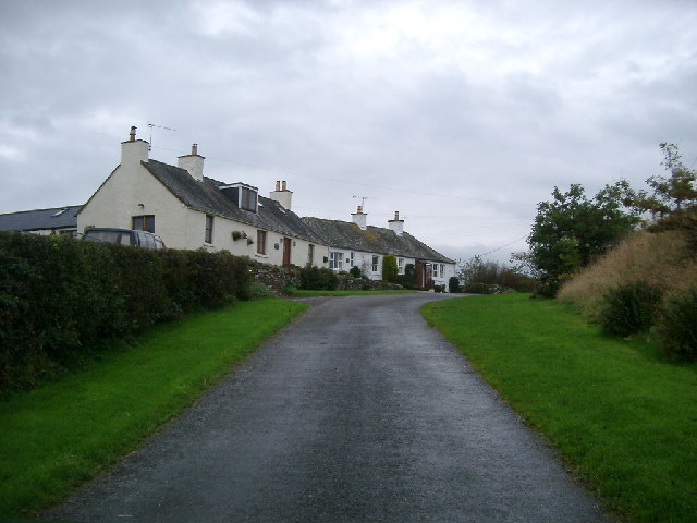
The hill's location near the village of Auchencairn makes it easily accessible for both locals and tourists. Its natural beauty and tranquil atmosphere make it an ideal spot for a peaceful retreat or an adventurous hike in the Scottish countryside. Barngouff Hill truly stands as a testament to the captivating landscapes found in Kirkcudbrightshire.

If you have any feedback on the listing, please let us know in the comments section below.

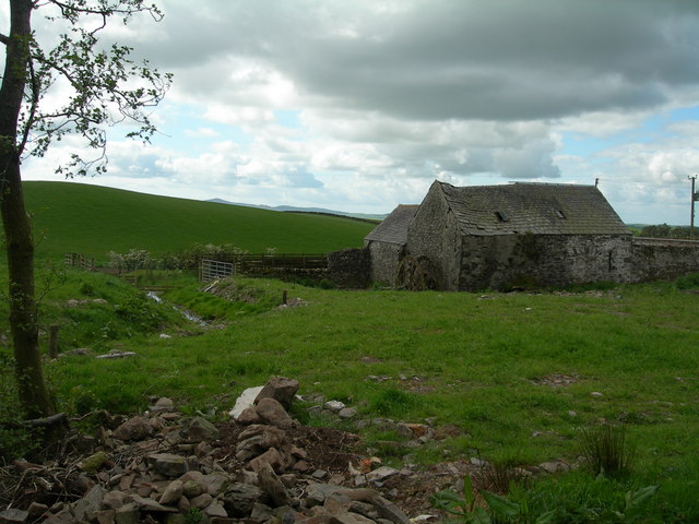
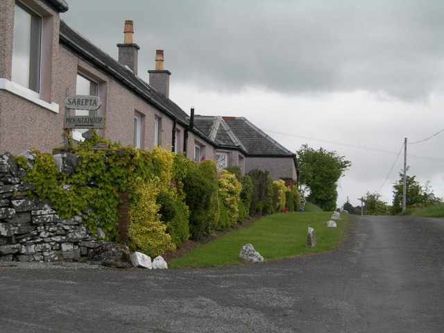
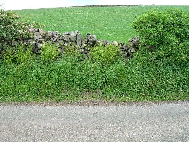
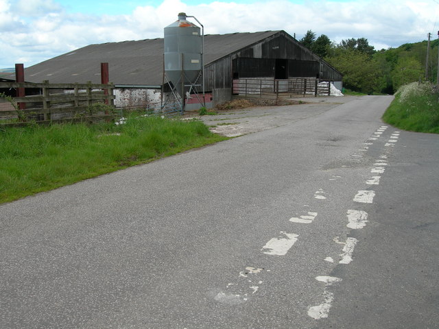
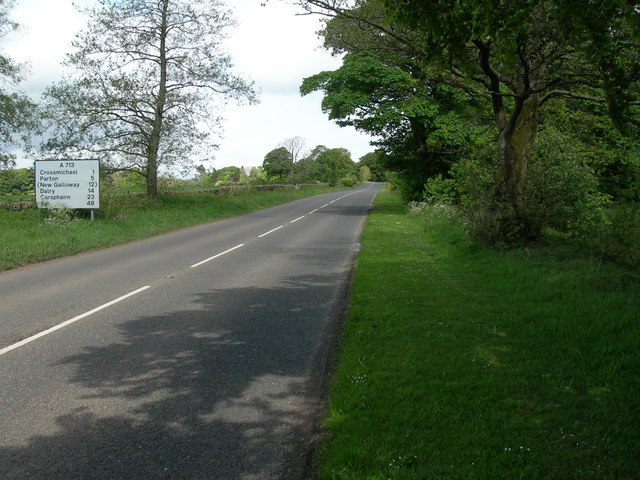
Barngouff Hill Images

Images are sourced within 2km of 54.976383/-3.959261 or Grid Reference NX7466. Thanks to Geograph Open Source API. All images are credited.

Hill Fort near Crossmichael called Crofts Mote on the OS 1:25000, near Croft farm
Hill Fort near Crossmichael
called Crofts Mote on the OS 1:25000, near Croft farm
Houses, Ringanwhey taken on the by road between Crossmichael and old Bridge of Urr
Houses, Ringanwhey
taken on the by road between Crossmichael and old Bridge of Urr
Knockgill near B797 at Ernminzie It's not named on the 1:25000, so I hope someone local can identify it. Between Erminzie and Ellislade near Valleyfield Bridge close to the B795, though taken from the by road to the north.
Good news - one of our number supplied the name from 1st edn OS 6" - thanks for that.
Knockgill near B797 at Ernminzie
It's not named on the 1:25000, so I hope someone local can identify it. Between Erminzie and Ellislade near Valleyfield Bridge close to the B795, though taken from the by road to the north. Good news - one of our number supplied the name from 1st edn OS 6" - thanks for that.
View From Balmaghie Churchyard Looking south-east across the River Dee on a crisp January morning.
View From Balmaghie Churchyard
Looking south-east across the River Dee on a crisp January morning.
Crossmichael Viewed from the other side of the River Dee.
Crossmichael
Viewed from the other side of the River Dee.
Ernmenzie
Ernmenzie
Triangulation pillar and water storage facility
Farmland near Balgerran Typical Galloway farmland scene - rolling hill, dry stone dyke and rocky outcrop
Farmland near Balgerran
Typical Galloway farmland scene - rolling hill, dry stone dyke and rocky outcrop
Farmland and abandoned building at Lochhill farm Suspect building was formerly a mill as there appears to be a mill wheel on left and the burn looks to have been diverted.  The millwheel is not now in place, having been removed for eventual restoration to Airds Farm, Crossmichael.
Farmland and abandoned building at Lochhill farm
Suspect building was formerly a mill as there appears to be a mill wheel on left and the burn looks to have been diverted. The millwheel is not now in place, having been removed for eventual restoration to Airds Farm, Crossmichael.
Cottages and start of track to Mountaintop
Roadside and farmland north of Crofts
Farm buildings and junction at Crofts
A713 North West of Townhead of Greenlaw
The Tail End of Loch Ken
Field next to Loch Ken, Crossmichael Farmland - Loch Ken in the background.
Field next to Loch Ken, Crossmichael
Farmland - Loch Ken in the background.
Big Softie This gentleman was tucking into his hay next to Crossmichael Marina.
Big Softie
This gentleman was tucking into his hay next to Crossmichael Marina.
Crossmichael Marina The hut on the right flying the flag is the Marina.
You can just make out Balmaghie church in the background across the loch.  You can also just see the bull by the gate tucking into his winter feed (see supplemental image!)
Crossmichael Marina
The hut on the right flying the flag is the Marina. You can just make out Balmaghie church in the background across the loch. You can also just see the bull by the gate tucking into his winter feed (see supplemental image!)
Meikle Ernambrie View toward Meikle Ernambrie from a coppice on the Burnbrae-Kilnotrie lane.
Meikle Ernambrie
View toward Meikle Ernambrie from a coppice on the Burnbrae-Kilnotrie lane.
Show me another place!

Barngouff Hill is located at Grid Ref: NX7466 (Lat: 54.976383, Lng: -3.959261)

Unitary Authority: Dumfries and Galloway

Police Authority: Dumfries and Galloway

What 3 Words

///ribs.spurring.personal. Near Castle Douglas, Dumfries & Galloway

Related Wikis

Crossmichael

Crossmichael (Scottish Gaelic: Crois Mhìcheil) is a small village on the east side of Loch Ken in the historical county of Kirkcudbrightshire, about 4...

Crossmichael Parish Church

Crossmichael Parish Church is an ecclesiastical building in Crossmichael, Dumfries and Galloway, Scotland. It lies on a knoll, which was probably an ancient...

Crossmichael railway station

Crossmichael railway station served the village of Crossmichael, Kirkcudbrightshire, Scotland, from 1861 to 1965 on the Portpatrick and Wigtownshire Joint...

Abbey Yard

Abbey Yard is a location in Dumfries and Galloway, Scotland. Abbey Yard is near Glenlochar in the historical county of Kirkcudbrightshire in the Dumfries...

Nearby Amenities

Located within 500m of 54.976383,-3.959261
Place: farm
Lat/Long: 54.9780404/-3.9549024
Power: pole
Lat/Long: 54.9726621/-3.9556252
Power: pole
Lat/Long: 54.9733717/-3.9556528
Power: pole
Lat/Long: 54.9745142/-3.9557378
Power: pole
Lat/Long: 54.9757982/-3.9558249
Power: pole
Lat/Long: 54.9768918/-3.955912
Power: pole
Lat/Long: 54.9780221/-3.9559672
Power: pole
Lat/Long: 54.9790437/-3.9560331
Power: pole
Lat/Long: 54.98028/-3.9561096
Power: pole
Lat/Long: 54.9779416/-3.9555317
Power: pole
Lat/Long: 54.9778136/-3.9548307
Power: pole
Lat/Long: 54.9774966/-3.9542528
Power: pole
Lat/Long: 54.9783598/-3.9554892
Power: pole
Lat/Long: 54.9788279/-3.9555169
Power: pole
Lat/Long: 54.9792949/-3.9555445
Power: pole
Lat/Long: 54.9797301/-3.9555593
Power: pole
Lat/Long: 54.9801446/-3.9555742
The data included in this document is from www.openstreetmap.org. The data is made available under ODbL.

Have you been to Barngouff Hill?

Leave your review of Barngouff Hill below (or comments, questions and feedback).