Girnal Hill

Hill, Mountain in Stirlingshire

Scotland

Girnal Hill

High Banton Picturesque cottages in the old village of Banton.
High Banton Credit: Stephen Sweeney

Girnal Hill, located in Stirlingshire, Scotland, is an impressive hill situated in the southern part of the county. Standing at an elevation of 608 meters (1,995 feet), it is classified as both a hill and a mountain, offering spectacular views of the surrounding landscapes.

Girnal Hill is part of the Campsie Fells range, which is renowned for its scenic beauty and diverse wildlife. The hill is composed mainly of sedimentary rocks, including sandstone and limestone, which provide a unique geological character to the area.

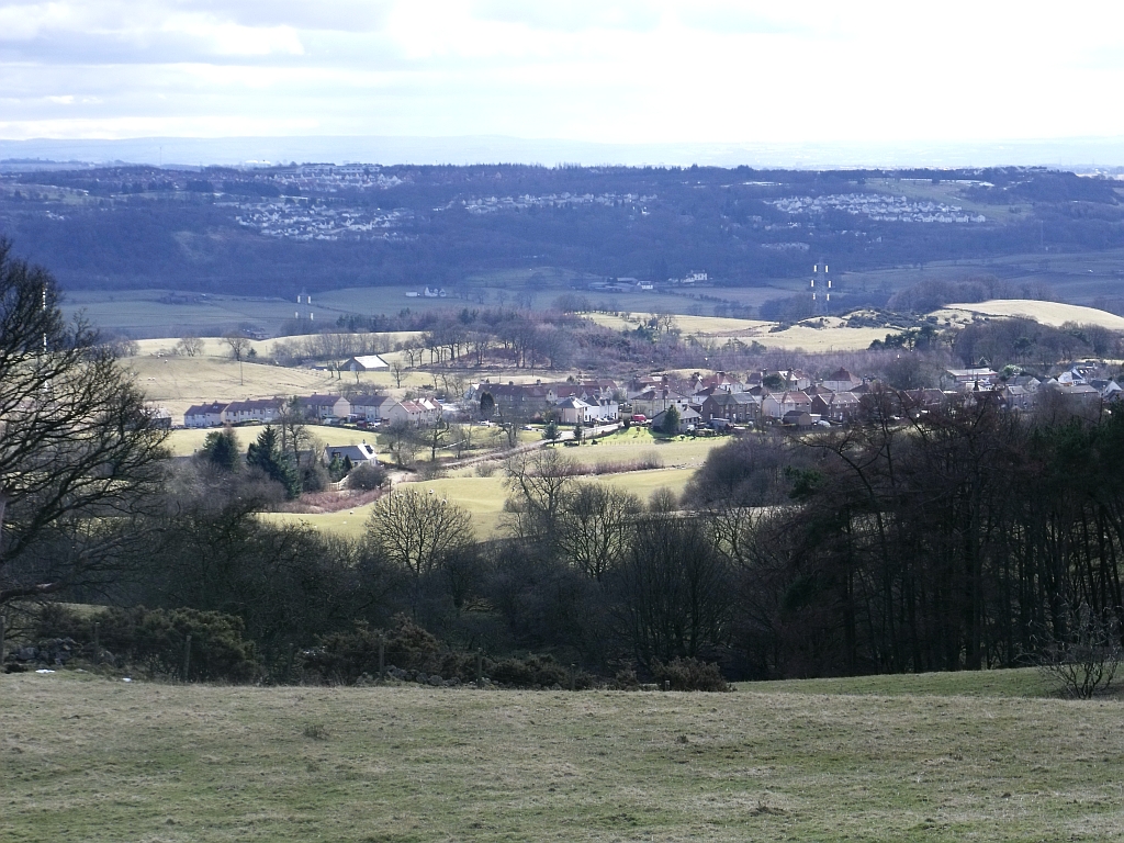
The ascent to Girnal Hill is relatively moderate, making it a popular destination for hikers and outdoor enthusiasts of all levels. The well-marked trails leading to the summit allow visitors to enjoy a pleasant and rewarding climb. Upon reaching the top, one is greeted with panoramic vistas of Stirlingshire and the surrounding countryside, including the picturesque Campsie Glen and the Campsie Linn waterfall.

The hill is also home to a variety of plant and animal species, including heather, grasses, and numerous bird species. Nature enthusiasts can delight in observing the local flora and fauna throughout their climb.

Girnal Hill holds historical significance as well, with remnants of an Iron Age fort visible near its peak. These ancient remains serve as a reminder of the hill's rich cultural heritage.

Overall, Girnal Hill offers a memorable and accessible outdoor experience for those seeking to immerse themselves in the beauty of Stirlingshire's natural landscapes.

If you have any feedback on the listing, please let us know in the comments section below.
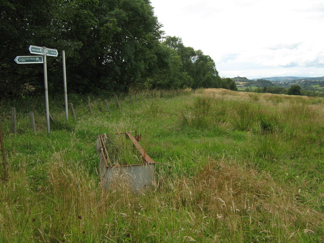
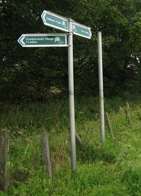
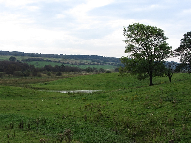
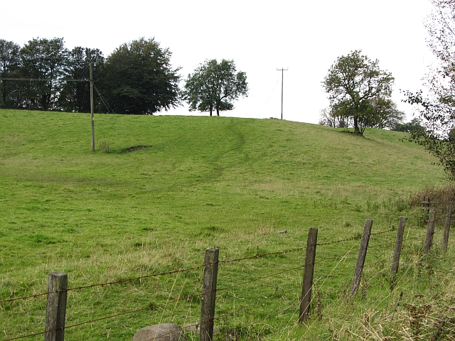
Girnal Hill Images

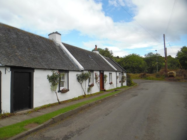
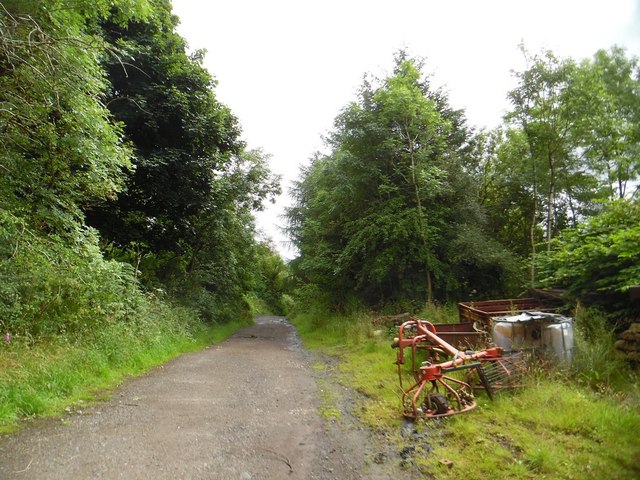
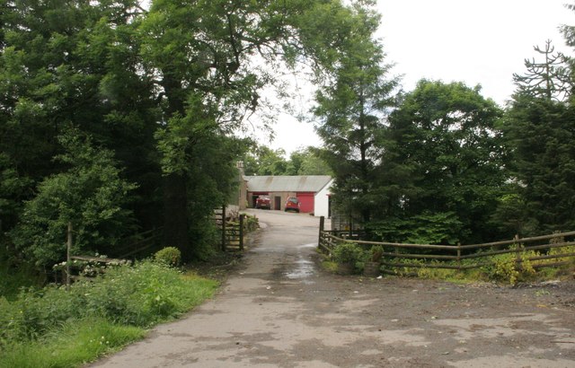
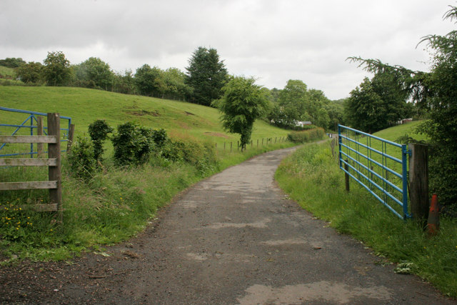
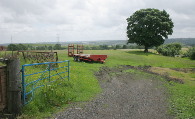
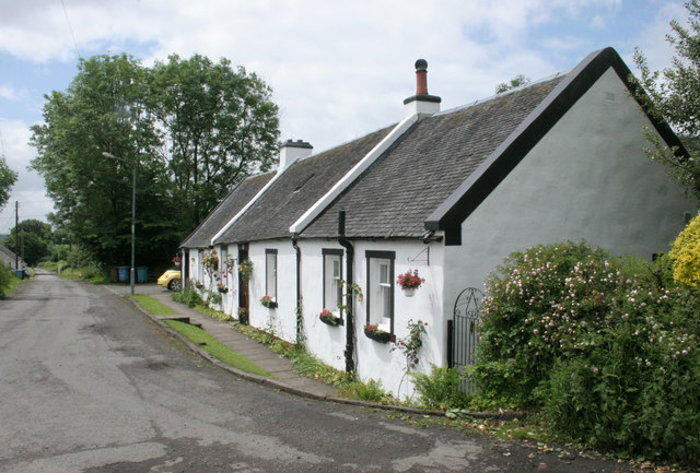
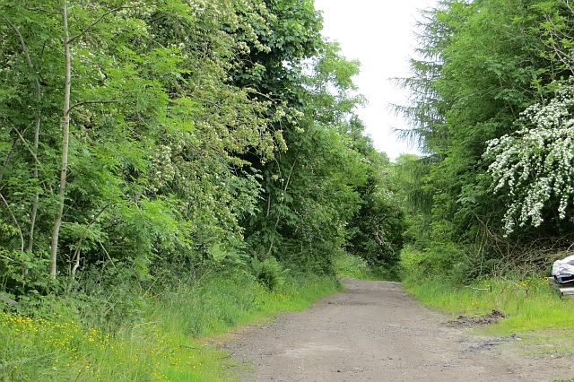
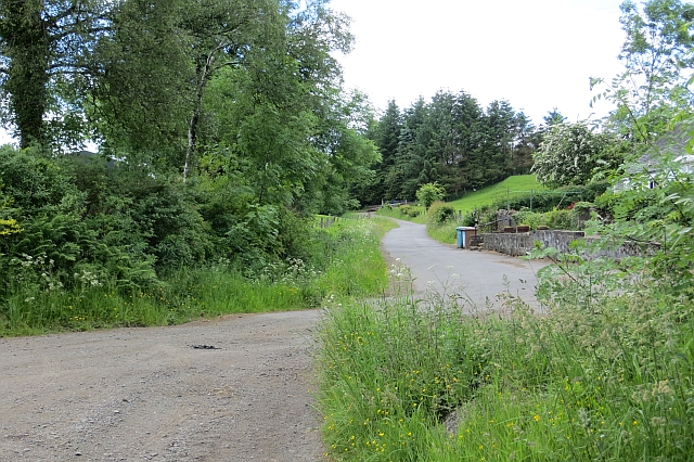
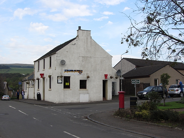
Images are sourced within 2km of 55.980685/-4.0098002 or Grid Reference NS7478. Thanks to Geograph Open Source API. All images are credited.

High Banton Picturesque cottages in the old village of Banton.
High Banton
Picturesque cottages in the old village of Banton.
Forest track east of High Banton
Glenhead The end of the road.
Glenhead
The end of the road.
Gates, Glenhead The road leads from Glenhead to High Banton.
Gates, Glenhead
The road leads from Glenhead to High Banton.
Farm trailer, High Banton
Cottages, High Banton
Track, Banton Mains
Track, Banton Mains
Road, High Banton
Road, High Banton
Signpost at Westerwood Farm A new signpost giving directions and distances to
Castlecary, The Village and Croy.

It's on the course of The Antonine Wall. 
Indeed that is the reason for the signpost being here.

See <a title="www.geograph.org.uk/photo/2559345" href="https://www.geograph.org.uk/photo/2559345">Link</a> for a closer look.
Signpost at Westerwood Farm
A new signpost giving directions and distances to Castlecary, The Village and Croy. It's on the course of The Antonine Wall. Indeed that is the reason for the signpost being here. See Link for a closer look.
Signpost at Westerwood Farm A new signpost which has recently sprouted
on the path of The Antonine Wall.

See also <a title="www.geograph.org.uk/photo/2559328" href="https://www.geograph.org.uk/photo/2559328">Link</a>
Signpost at Westerwood Farm
A new signpost which has recently sprouted on the path of The Antonine Wall. See also Link
A wet hollow, Auchincloch Hummocky ground with wet depressions above the much more marshy ground beside the Forth and Clyde Canal.
A wet hollow, Auchincloch
Hummocky ground with wet depressions above the much more marshy ground beside the Forth and Clyde Canal.
Farmland, Kelvinhead The signifigance of the name Kelvinhead passed me by when I was there. This is not just the upper reaches of one of Glasgow's famous rivers, but the east - west watershed of Scotland.

Strictly speaking this field is just west of the watershed, but I expect Dave Hewitt and those who followed him doing the epic walk would have used the road to  Banton beside this field.
Farmland, Kelvinhead
The signifigance of the name Kelvinhead passed me by when I was there. This is not just the upper reaches of one of Glasgow's famous rivers, but the east - west watershed of Scotland. Strictly speaking this field is just west of the watershed, but I expect Dave Hewitt and those who followed him doing the epic walk would have used the road to Banton beside this field.
Main Street, Banton Approaching the village from the south.
Main Street, Banton
Approaching the village from the south.
Andrew Dow's Wood A woodland, part of the Central Scotland Forest, now established on the edge of Banton.
Andrew Dow's Wood
A woodland, part of the Central Scotland Forest, now established on the edge of Banton.
The Swan Inn Pub in the centre of Banton.
The Swan Inn
Pub in the centre of Banton.
Village shop, Banton
Kilsyth and Bonnybridge Railway This railway was jointly run by the North British and Caledonian railways. It linked communities beneath the Kilsyth Hills in Stirlingshire.
Kilsyth and Bonnybridge Railway
This railway was jointly run by the North British and Caledonian railways. It linked communities beneath the Kilsyth Hills in Stirlingshire.
Pond off the Banton Road A vegetated pond just south of the railway bridge.
Pond off the Banton Road
A vegetated pond just south of the railway bridge.
Show me another place!

Girnal Hill is located at Grid Ref: NS7478 (Lat: 55.980685, Lng: -4.0098002)

Unitary Authority: North Lanarkshire

Police Authority: Lanarkshire

What 3 Words

///dreaming.hence.impaired. Near Kilsyth, North Lanarkshire

Related Wikis

Battle of Kilsyth

The Battle of Kilsyth, fought on 15 August 1645 near Kilsyth, was an engagement of the Wars of the Three Kingdoms. The largest battle of the conflict in...

Banton Loch

Banton Loch, also known as Kilsyth Loch, Townhead Reservoir and once nicknamed Bakers' Loch, is an artificial freshwater lake located to the east of Kilsyth...

Kelvinhead

Kelvinhead is a small hamlet in the vicinity of the village of Banton in Scotland. Located close to the source of the River Kelvin, it is little more than...

Banton, North Lanarkshire

Banton is a small village situated near Kilsyth in North Lanarkshire, Scotland. == History == The Covenanter army under General William Baillie formed...

Nearby Amenities

Located within 500m of 55.980685,-4.0098002
Design: barrel
Power: tower
Lat/Long: 55.9794026/-4.0030103
Design: barrel
Power: tower
Lat/Long: 55.9779953/-4.0089764
Material: wood
Power: pole
Lat/Long: 55.9783087/-4.0150619
Material: wood
Power: pole
Lat/Long: 55.9788752/-4.014239
Power: pole
Lat/Long: 55.9794463/-4.013439
Power: pole
Lat/Long: 55.980106/-4.0125079
Power: pole
Lat/Long: 55.9804055/-4.0120308
Power: pole
Lat/Long: 55.98105/-4.0109538
Power: pole
Lat/Long: 55.9816957/-4.0099122
Power: pole
Lat/Long: 55.9823717/-4.0090143
Power: pole
Lat/Long: 55.9829835/-4.0082206
Power: pole
Lat/Long: 55.9836245/-4.0074061
Power: pole
Lat/Long: 55.9844007/-4.0063895
Power: pole
Lat/Long: 55.9765149/-4.0118079
Power: pole
Lat/Long: 55.9767865/-4.0106767
Power: pole
Lat/Long: 55.9770697/-4.0094851
Power: pole
Lat/Long: 55.9773192/-4.0084331
Power: pole
Lat/Long: 55.9775919/-4.007302
Power: pole
Lat/Long: 55.9778787/-4.0061166
Power: pole
Lat/Long: 55.9781526/-4.0049646
Power: pole
Lat/Long: 55.9784148/-4.0038355
Power: pole
Lat/Long: 55.9787027/-4.0026419
The data included in this document is from www.openstreetmap.org. The data is made available under ODbL.

Have you been to Girnal Hill?

Leave your review of Girnal Hill below (or comments, questions and feedback).