Girnalford Wood

Wood, Forest in Stirlingshire

Scotland

Girnalford Wood

High Banton Picturesque cottages in the old village of Banton.
High Banton Credit: Stephen Sweeney

Girnalford Wood is a picturesque woodland located in Stirlingshire, Scotland. It covers an area of approximately 50 hectares, making it a substantial forested area. The wood is situated near the village of Thornhill, making it easily accessible to both locals and visitors.

The wood is predominantly composed of native broadleaf trees such as oak, birch, and rowan, creating a rich and diverse ecosystem. These trees provide a habitat for a wide variety of bird species, including great spotted woodpeckers, nuthatches, and tawny owls. The forest floor is also adorned with vibrant carpets of bluebells during the springtime, adding to the charm and beauty of Girnalford Wood.

There are several trails and paths that wind their way through the woodland, offering visitors the opportunity to explore its natural wonders. These paths provide a peaceful and tranquil setting for walkers, joggers, and nature enthusiasts alike. Along the way, there are benches strategically placed to allow visitors to rest and take in the serene atmosphere.

In addition to its natural beauty, Girnalford Wood also has historical significance. The remains of an Iron Age hill fort can be found within the forest, serving as a reminder of the area's rich cultural heritage.

Overall, Girnalford Wood is a captivating destination that combines natural splendor with historical interest. Its lush vegetation, diverse wildlife, and well-maintained paths make it an ideal spot for outdoor recreation and exploration.

If you have any feedback on the listing, please let us know in the comments section below.

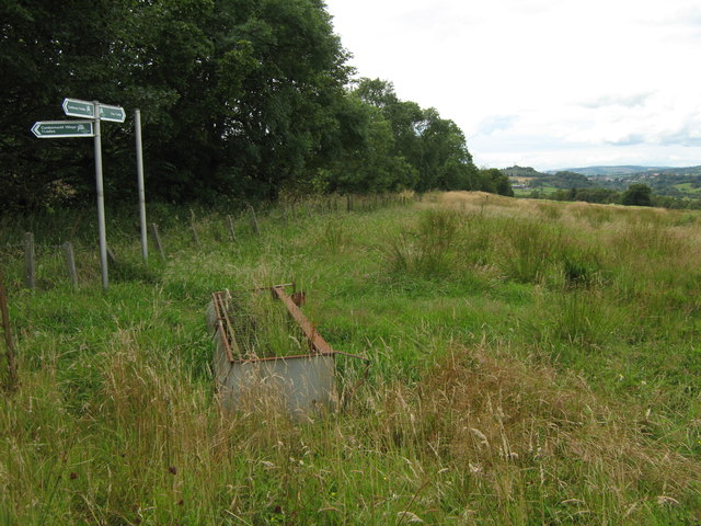
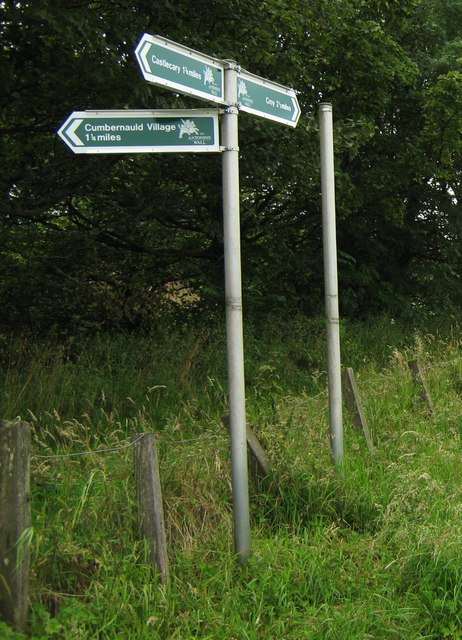
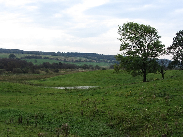
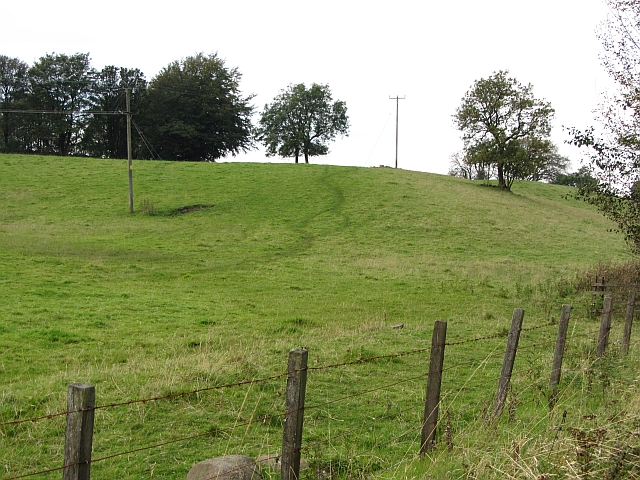
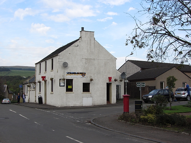
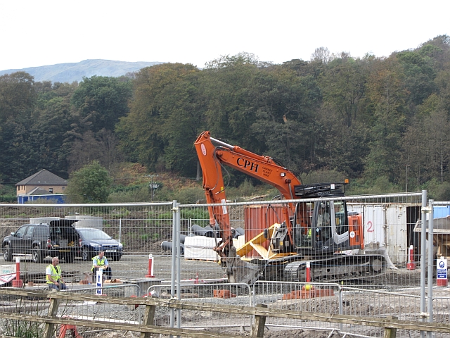
Girnalford Wood Images

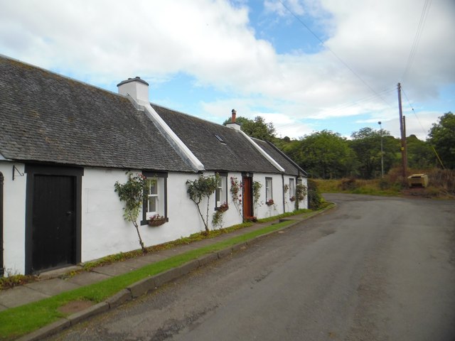
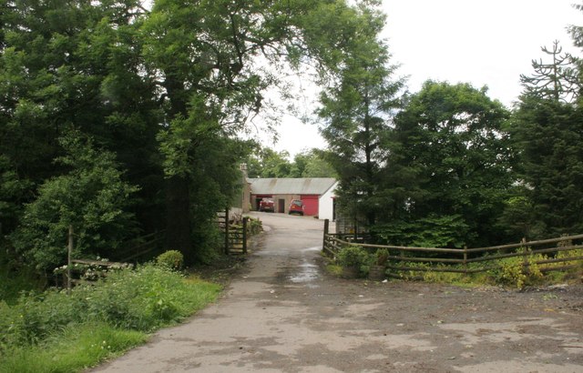
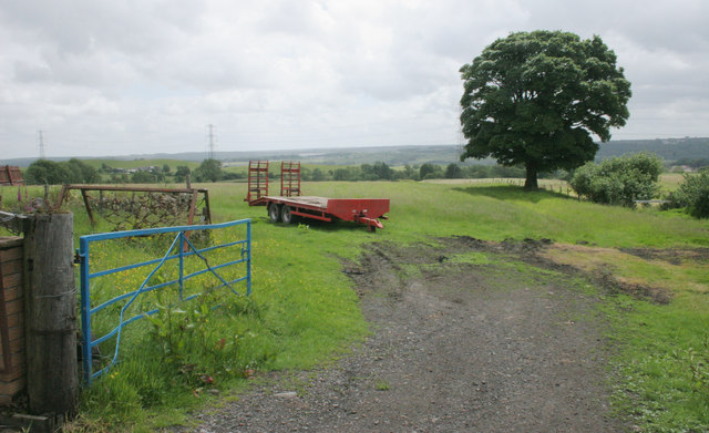
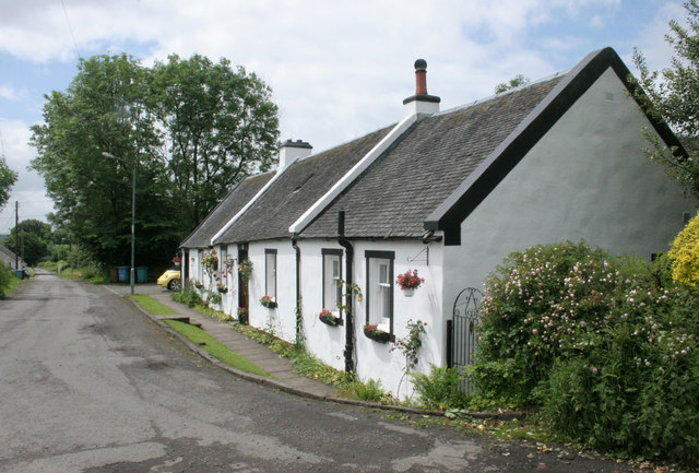
Images are sourced within 2km of 55.979724/-4.0102633 or Grid Reference NS7478. Thanks to Geograph Open Source API. All images are credited.

High Banton Picturesque cottages in the old village of Banton.
High Banton
Picturesque cottages in the old village of Banton.
Glenhead The end of the road.
Glenhead
The end of the road.
Farm trailer, High Banton
Cottages, High Banton
Signpost at Westerwood Farm A new signpost giving directions and distances to
Castlecary, The Village and Croy.

It's on the course of The Antonine Wall. 
Indeed that is the reason for the signpost being here.

See <a title="www.geograph.org.uk/photo/2559345" href="https://www.geograph.org.uk/photo/2559345">Link</a> for a closer look.
Signpost at Westerwood Farm
A new signpost giving directions and distances to Castlecary, The Village and Croy. It's on the course of The Antonine Wall. Indeed that is the reason for the signpost being here. See Link for a closer look.
Signpost at Westerwood Farm A new signpost which has recently sprouted
on the path of The Antonine Wall.

See also <a title="www.geograph.org.uk/photo/2559328" href="https://www.geograph.org.uk/photo/2559328">Link</a>
Signpost at Westerwood Farm
A new signpost which has recently sprouted on the path of The Antonine Wall. See also Link
A wet hollow, Auchincloch Hummocky ground with wet depressions above the much more marshy ground beside the Forth and Clyde Canal.
A wet hollow, Auchincloch
Hummocky ground with wet depressions above the much more marshy ground beside the Forth and Clyde Canal.
Farmland, Kelvinhead The signifigance of the name Kelvinhead passed me by when I was there. This is not just the upper reaches of one of Glasgow's famous rivers, but the east - west watershed of Scotland.

Strictly speaking this field is just west of the watershed, but I expect Dave Hewitt and those who followed him doing the epic walk would have used the road to  Banton beside this field.
Farmland, Kelvinhead
The signifigance of the name Kelvinhead passed me by when I was there. This is not just the upper reaches of one of Glasgow's famous rivers, but the east - west watershed of Scotland. Strictly speaking this field is just west of the watershed, but I expect Dave Hewitt and those who followed him doing the epic walk would have used the road to Banton beside this field.
Main Street, Banton Approaching the village from the south.
Main Street, Banton
Approaching the village from the south.
Andrew Dow's Wood A woodland, part of the Central Scotland Forest, now established on the edge of Banton.
Andrew Dow's Wood
A woodland, part of the Central Scotland Forest, now established on the edge of Banton.
The Swan Inn Pub in the centre of Banton.
The Swan Inn
Pub in the centre of Banton.
Village shop, Banton
Kilsyth and Bonnybridge Railway This railway was jointly run by the North British and Caledonian railways. It linked communities beneath the Kilsyth Hills in Stirlingshire.
Kilsyth and Bonnybridge Railway
This railway was jointly run by the North British and Caledonian railways. It linked communities beneath the Kilsyth Hills in Stirlingshire.
Pond off the Banton Road A vegetated pond just south of the railway bridge.
Pond off the Banton Road
A vegetated pond just south of the railway bridge.
Power line near Kilsyth The powerline links Glasgow (Newton Bridge sub station) with Denny sub station.
Power line near Kilsyth
The powerline links Glasgow (Newton Bridge sub station) with Denny sub station.
Woodland, Woodend Scrubby woodland between the new A803 alignment and the older road to the south.
Woodland, Woodend
Scrubby woodland between the new A803 alignment and the older road to the south.
Wet pasture, Currymire A wetland pasture, very rashy ground.
Wet pasture, Currymire
A wetland pasture, very rashy ground.
Building site, Stirling Road New houses being built in Kilsyth.
Building site, Stirling Road
New houses being built in Kilsyth.
Show me another place!

Girnalford Wood is located at Grid Ref: NS7478 (Lat: 55.979724, Lng: -4.0102633)

Unitary Authority: North Lanarkshire

Police Authority: Lanarkshire

What 3 Words

///haircuts.encoded.tolls. Near Croy, North Lanarkshire

Related Wikis

Battle of Kilsyth

The Battle of Kilsyth, fought on 15 August 1645 near Kilsyth, was an engagement of the Wars of the Three Kingdoms. The largest battle of the conflict in...

Banton Loch

Banton Loch, also known as Kilsyth Loch, Townhead Reservoir and once nicknamed Bakers' Loch, is an artificial freshwater lake located to the east of Kilsyth...

Kelvinhead

Kelvinhead is a small hamlet in the vicinity of the village of Banton in Scotland. Located close to the source of the River Kelvin, it is little more than...

Dullatur railway station

Dullatur railway station served the village of Dullatur, North Lanarkshire, Scotland from 1876 to 1967 on the Edinburgh and Glasgow Railway. == History... ==

Nearby Amenities

Located within 500m of 55.979724,-4.0102633
Parking
Capacity: 6
Fee: no
Parking: surface
Lat/Long: 55.97855/-4.0172872
Design: barrel
Power: tower
Lat/Long: 55.9766123/-4.0148388
Design: barrel
Power: tower
Lat/Long: 55.9794026/-4.0030103
Design: barrel
Power: tower
Lat/Long: 55.9779953/-4.0089764
Power: pole
Lat/Long: 55.9776374/-4.0160055
Material: wood
Power: pole
Lat/Long: 55.9783087/-4.0150619
Material: wood
Power: pole
Lat/Long: 55.9788752/-4.014239
Power: pole
Lat/Long: 55.9794463/-4.013439
Power: pole
Lat/Long: 55.980106/-4.0125079
Power: pole
Lat/Long: 55.9804055/-4.0120308
Power: pole
Lat/Long: 55.98105/-4.0109538
Power: pole
Lat/Long: 55.9816957/-4.0099122
Power: pole
Lat/Long: 55.9823717/-4.0090143
Power: pole
Lat/Long: 55.9829835/-4.0082206
Power: pole
Lat/Long: 55.9836245/-4.0074061
Power: pole
Lat/Long: 55.9759321/-4.0139515
Power: pole
Lat/Long: 55.976227/-4.012887
Power: pole
Lat/Long: 55.9765149/-4.0118079
Power: pole
Lat/Long: 55.9767865/-4.0106767
Power: pole
Lat/Long: 55.9770697/-4.0094851
Power: pole
Lat/Long: 55.9773192/-4.0084331
Power: pole
Lat/Long: 55.9775919/-4.007302
Power: pole
Lat/Long: 55.9778787/-4.0061166
Power: pole
Lat/Long: 55.9781526/-4.0049646
Power: pole
Lat/Long: 55.9784148/-4.0038355
Power: pole
Lat/Long: 55.9787027/-4.0026419
Power: pole
Lat/Long: 55.9761874/-4.0143577
The data included in this document is from www.openstreetmap.org. The data is made available under ODbL.

Have you been to Girnalford Wood?

Leave your review of Girnalford Wood below (or comments, questions and feedback).