Craigie Plantation

Wood, Forest in Kirkcudbrightshire

Scotland

Craigie Plantation

B794 Near Walton Park.
B794 Credit: Richard Webb

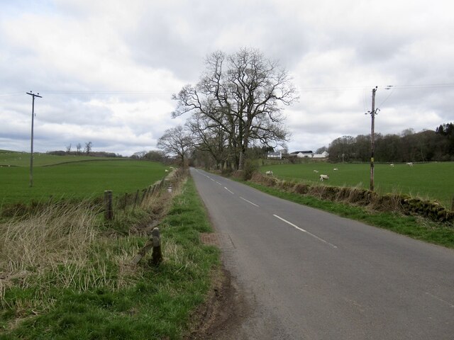
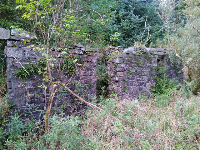
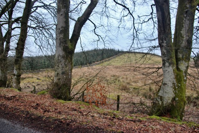
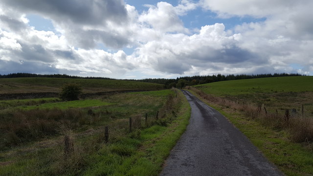
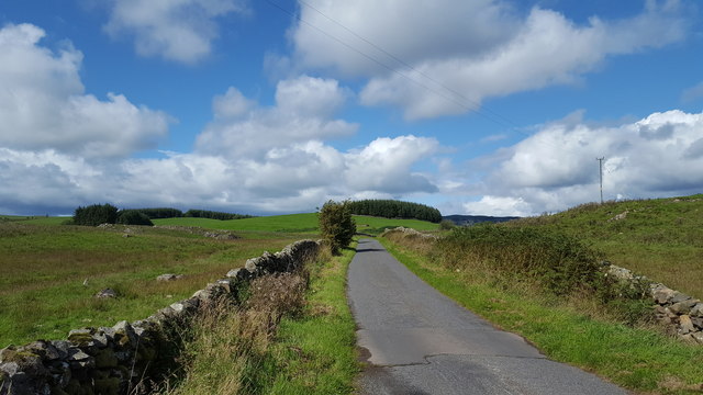
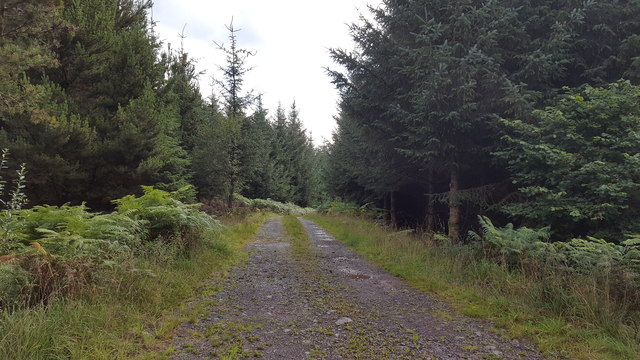
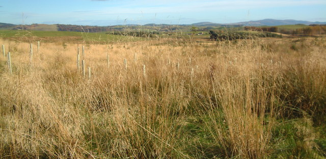
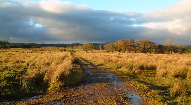
Craigie Plantation is a vast wooded area located in Kirkcudbrightshire, Scotland. Spanning approximately 500 acres, this plantation is known for its diverse range of trees and breathtaking natural beauty. Situated close to the Solway Firth, the plantation offers stunning views of the surrounding landscape.

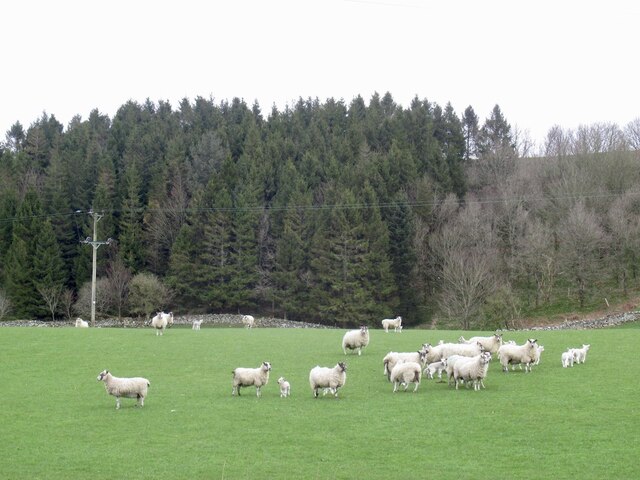
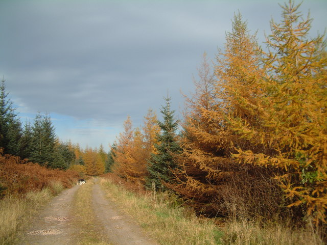
The plantation is predominantly made up of coniferous trees, with species such as Scots pine, Norway spruce, and Douglas fir dominating the area. These tall and majestic trees create a dense canopy, providing a perfect habitat for a variety of wildlife. Visitors to Craigie Plantation may spot red squirrels, roe deer, and a wide array of bird species, including woodpeckers and owls.

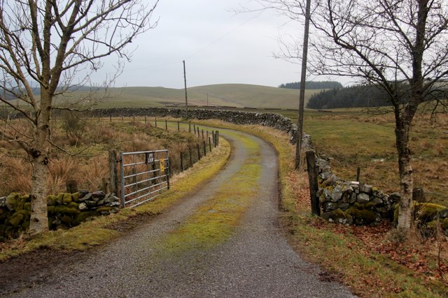
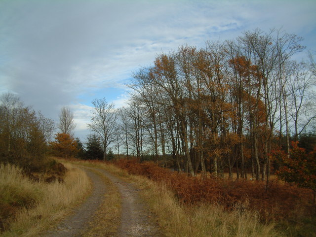
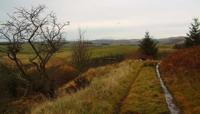
The plantation is popular among nature enthusiasts and outdoor lovers, as it offers numerous walking trails and paths. These trails are well-maintained and provide an opportunity to explore the plantation's diverse flora and fauna. The peaceful atmosphere and tranquil surroundings make it an ideal destination for those seeking a break from the hustle and bustle of everyday life.

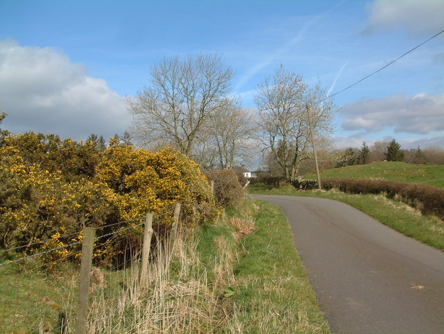
Additionally, Craigie Plantation is a popular spot for recreational activities such as picnicking and birdwatching. Its proximity to the Solway Firth also makes it a great location for enjoying scenic views and coastal walks.

Overall, Craigie Plantation in Kirkcudbrightshire is a haven for nature lovers, offering a unique blend of woodland beauty, abundant wildlife, and recreational opportunities.

If you have any feedback on the listing, please let us know in the comments section below.

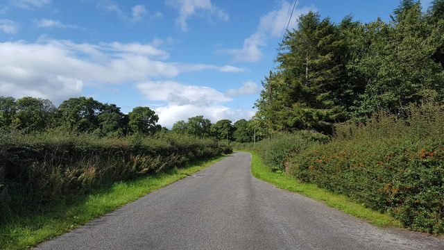
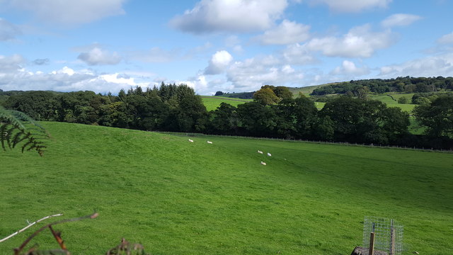
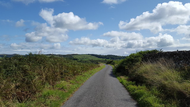
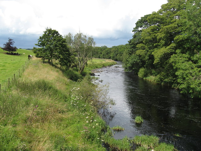
Craigie Plantation Images

Images are sourced within 2km of 55.029015/-3.9599357 or Grid Reference NX7472. Thanks to Geograph Open Source API. All images are credited.

B794 Near Walton Park.
B794
Near Walton Park.
Sheep, Walton Park Alert as there was a quadbike heading for their field.
Sheep, Walton Park
Alert as there was a quadbike heading for their field.
Remains of Falbae A modern 1:25,000 map shows Falbae Loch, Falbae Moor, and Falbae Hill, but not Falbae itself. Falbae was a small farm on the Barwhillantry Estate, which was abandoned to make way for tree-planting. It is currently shown as an un-named collection of ruined buildings in a clearing, and little now remains of them.
Remains of Falbae
A modern 1:25,000 map shows Falbae Loch, Falbae Moor, and Falbae Hill, but not Falbae itself. Falbae was a small farm on the Barwhillantry Estate, which was abandoned to make way for tree-planting. It is currently shown as an un-named collection of ruined buildings in a clearing, and little now remains of them.
Road to Upper Glenlair
Woodland edge, Barwhillanty estate
The road into the forest The approach to the forest at Ardmannoch.
The road into the forest
The approach to the forest at Ardmannoch.
Road through the hills The minor road near to Merkland.
Road through the hills
The minor road near to Merkland.
Track in the forest One of many tracks into the forest.
Track in the forest
One of many tracks into the forest.
Near Knockvennie bridge The minor road near to Knockvennie bridge.
Near Knockvennie bridge
The minor road near to Knockvennie bridge.
Farmland near Knockvennie Rolling farmland north of Knockvennie bridge.
Farmland near Knockvennie
Rolling farmland north of Knockvennie bridge.
Minor country road under blue sky This minor road serves several isolated farms.
Minor country road under blue sky
This minor road serves several isolated farms.
Urr Water from Knockvennie Bridge Urr Water, looking upstream from the bridge at Knockvennie
Urr Water from Knockvennie Bridge
Urr Water, looking upstream from the bridge at Knockvennie
Upper Glenlair View over Upper Glenlair from the road through Barwhillanty estate woodland.
Upper Glenlair
View over Upper Glenlair from the road through Barwhillanty estate woodland.
Autumn colour on Barwhillanty estate
Autumn colour on Falbae Moor
Ardmannoch
Ardmannoch
North Towards Barwhillanty
Towards Kiln Hill t
Towards Kiln Hill
t
Show me another place!

Craigie Plantation is located at Grid Ref: NX7472 (Lat: 55.029015, Lng: -3.9599357)

Unitary Authority: Dumfries and Galloway

Police Authority: Dumfries and Galloway

What 3 Words

///listening.narrate.tides. Near Castle Douglas, Dumfries & Galloway

Related Wikis

Glenlair House

Glenlair, near the village of Corsock in the historical county of Kirkcudbrightshire, in Dumfries and Galloway, was the home of the physicist James Clerk...

Kilquhanity School

Kilquhanity School was one of several free schools to have been established in the United Kingdom in the twentieth century. Others include Sands School...

Kirkcudbrightshire

Kirkcudbrightshire ( kur-KOO-brish-ər, -⁠eer; Scots: [kərˈku(d)brəʃər]), or the County of Kirkcudbright or the Stewartry of Kirkcudbright is one of the...

Corsock

Corsock (Scottish Gaelic: Corsag) is a village in the historical county of Kirkcudbrightshire, Dumfries and Galloway, south-west Scotland. It is located...

Nearby Amenities

Located within 500m of 55.029015,-3.9599357
Power: pole
Lat/Long: 55.0267303/-3.9533329
Power: pole
Lat/Long: 55.0274232/-3.9539639
Power: pole
Lat/Long: 55.028144/-3.954614
Power: pole
Lat/Long: 55.0287115/-3.955126
Power: pole
Lat/Long: 55.0292862/-3.9556528
Power: pole
Lat/Long: 55.0299693/-3.956271
Power: pole
Lat/Long: 55.0306585/-3.9568999
Power: pole
Lat/Long: 55.0313087/-3.957482
Power: pole
Lat/Long: 55.032038/-3.9581448
Power: pole
Lat/Long: 55.0325311/-3.9588799
Power: pole
Lat/Long: 55.0330072/-3.9595894
Power: pole
Lat/Long: 55.0335015/-3.9603585
The data included in this document is from www.openstreetmap.org. The data is made available under ODbL.

Have you been to Craigie Plantation?

Leave your review of Craigie Plantation below (or comments, questions and feedback).