Crappich Hill
Hill, Mountain in Perthshire
Scotland
Crappich Hill
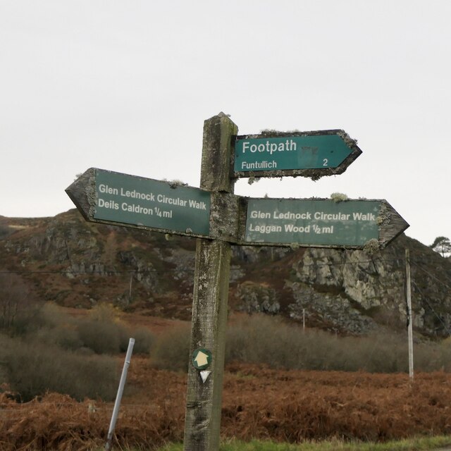
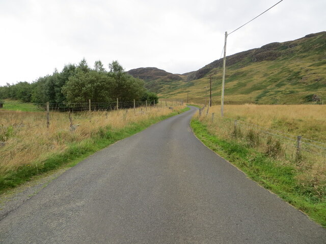
Crappich Hill, located in Perthshire, Scotland, is a prominent hill standing at an elevation of approximately 720 meters (2,362 feet). Situated within the stunning Scottish Highlands, it is a notable landmark in the region and attracts visitors seeking outdoor activities and breathtaking views.
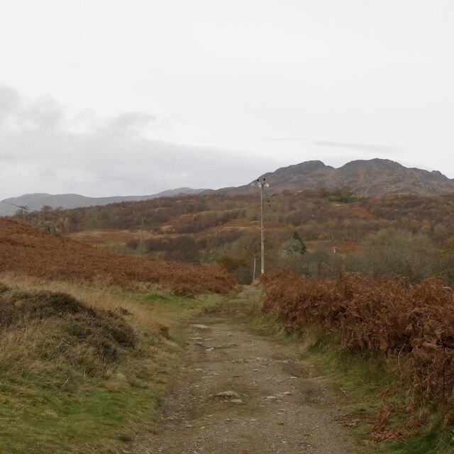
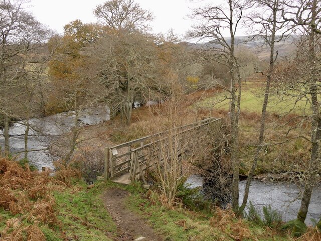
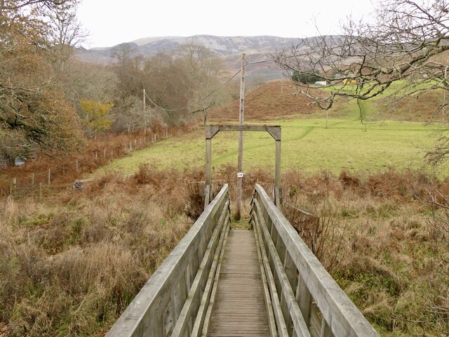
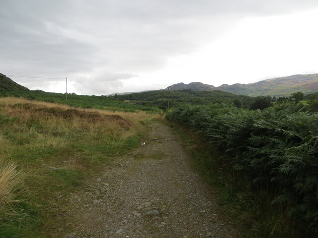
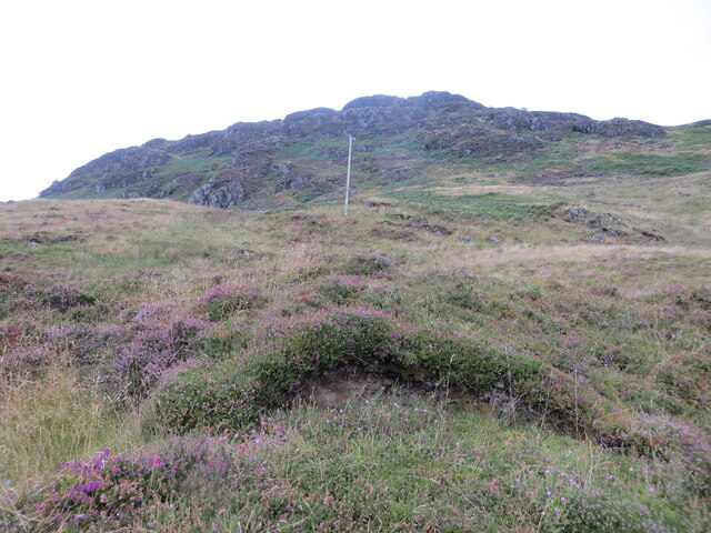
The hill is renowned for its rugged and picturesque terrain, characterized by grassy slopes and rocky outcrops. Hikers and mountaineers are drawn to Crappich Hill for its challenging trails, which offer a rewarding experience for those who reach its summit. The ascent can be demanding, but the panoramic vistas of the surrounding landscape make it all worthwhile.
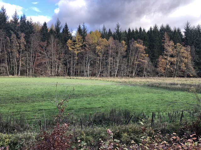
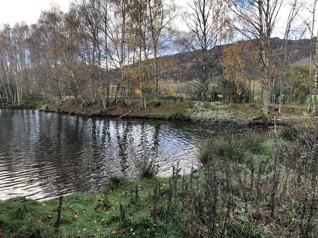
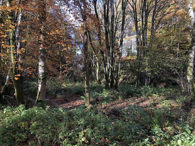
The hill is set amidst an enchanting natural setting, with lush greenery, wildflowers, and native wildlife. It is not uncommon to spot deer, birds of prey, and other creatures in the area, adding to the allure of the hill.
Crappich Hill is also popular among photographers and nature enthusiasts, who are captivated by the ever-changing light and colors that play across the landscape. The hill's elevated position allows for sweeping views of the Scottish countryside, including nearby lochs, glens, and neighboring mountains.
For those seeking a peaceful and idyllic retreat, Crappich Hill offers a serene environment away from the hustle and bustle of city life. Its beauty and tranquility make it a perfect destination for outdoor adventures, making it a must-visit location for nature lovers and explorers alike.
If you have any feedback on the listing, please let us know in the comments section below.
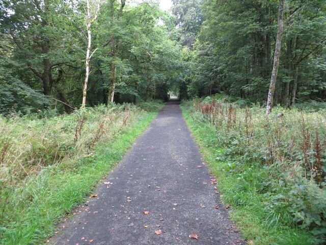
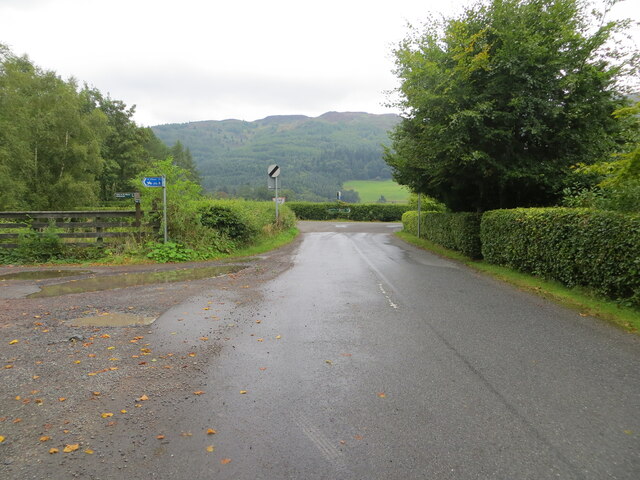
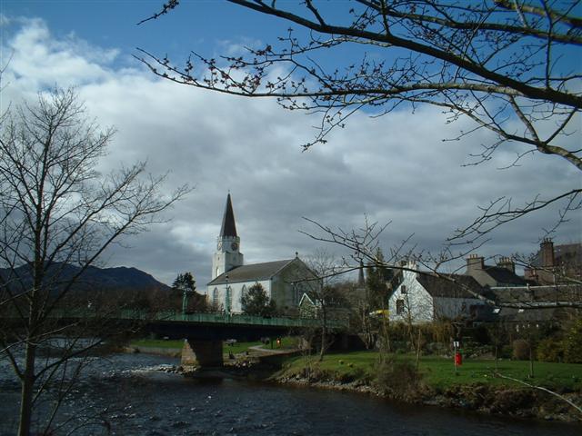
Crappich Hill Images
Images are sourced within 2km of 56.398729/-4.0295948 or Grid Reference NN7424. Thanks to Geograph Open Source API. All images are credited.


Crappich Hill is located at Grid Ref: NN7424 (Lat: 56.398729, Lng: -4.0295948)
Unitary Authority: Perth and Kinross
Police Authority: Tayside
What 3 Words
///thighs.fraction.necklace. Near Comrie, Perth & Kinross
Nearby Locations
Related Wikis

Central Lowlands
The Central Lowlands, sometimes called the Midland Valley or Central Valley, is a geologically defined area of relatively low-lying land in southern Scotland...

Dunira, Perthshire
Dunira (Scottish Gaelic: Dùn Iar) is an estate of about 350 hectares (860 acres) in Perthshire, Scotland, 3 miles (5 kilometres) northwest of Comrie and...
Dalchonzie Halt railway station
Dalchonzie Halt railway station, Dalchonzie Platform railway station or Dalchonzie Siding in the Parish of Comrie, Perth and Kinross, Scotland was an intermediate...

Dalchonzie
Dalchonzie is a place by the river Earn in Perthshire. Buildings there include a country house, a hydro-electric power station and farms. From 1903 to...

Aberuchill Castle
Aberuchill Castle is located 3 kilometres (1.9 mi) west of Comrie in Perthshire, Scotland. It comprises an early 17th-century tower house, which was extended...
Comrie, Perth and Kinross
Comrie (; Gaelic: Cuimridh; Pictish: Aberlednock; Latin: Victoria) is a village and parish in the southern Highlands of Scotland, towards the western end...

1 Dunira Street
1 Dunira Street is an historic building in Comrie, Perth and Kinross, Scotland. It is a Category A listed building dating to 1904. Its architect was Charles...

Dundurn, Scotland
Dundurn is the site of a Pictish hillfort in what is now Strathearn in Perth and Kinross, Scotland. The fort was situated on a hill with the River Earn...
Nearby Amenities
Located within 500m of 56.398729,-4.0295948Have you been to Crappich Hill?
Leave your review of Crappich Hill below (or comments, questions and feedback).