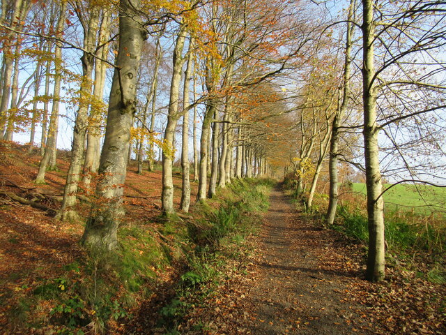
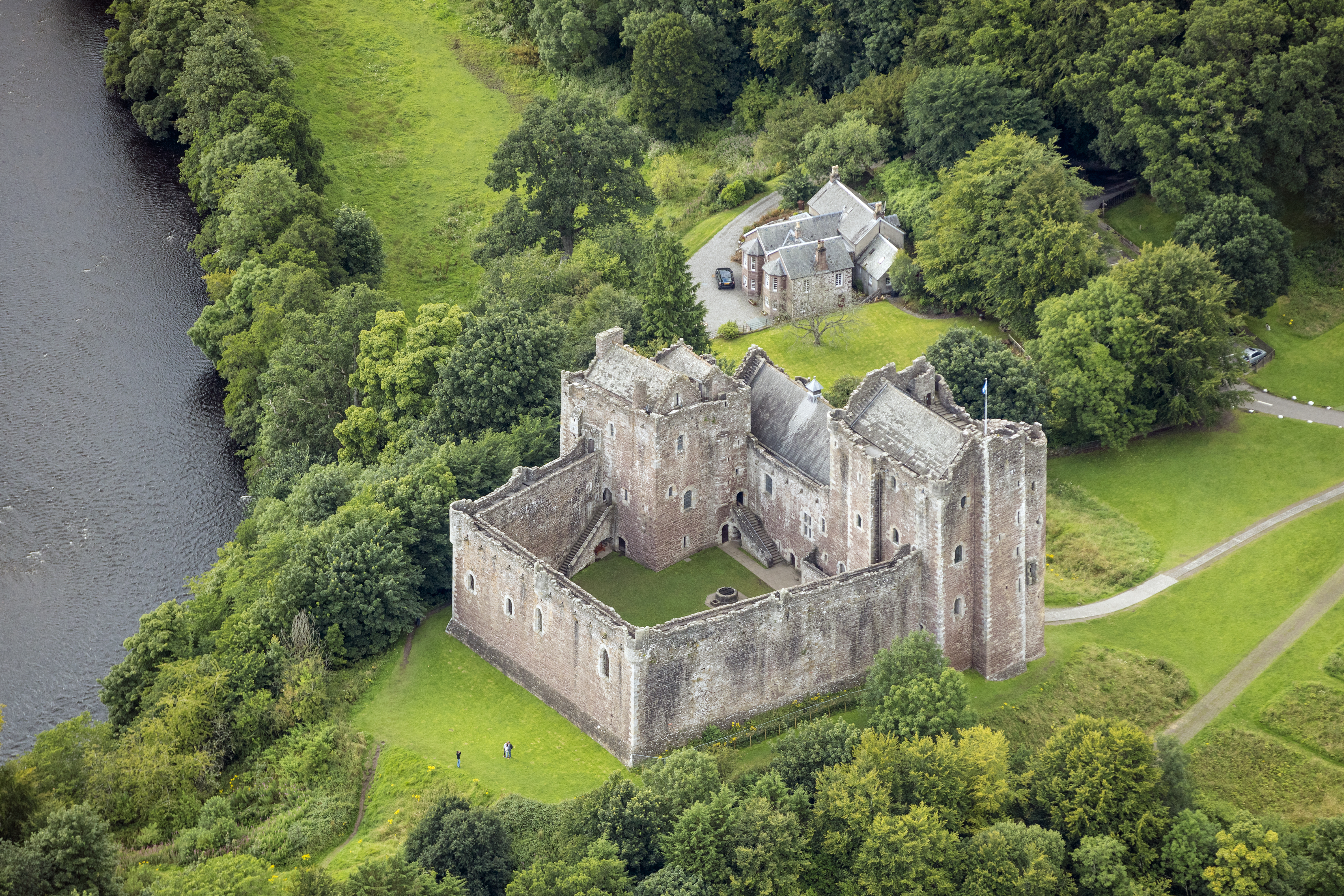
Todholds Plantation

Wood, Forest in Perthshire

Scotland

Todholds Plantation
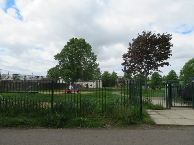
Play area at Doune A small park, with public conveniences, off King Street.
Play area at Doune Credit: M J Richardson

The requested URL returned error: 429 Too Many Requests

If you have any feedback on the listing, please let us know in the comments section below.

Todholds Plantation Images

Images are sourced within 2km of 56.194658/-4.0234605 or Grid Reference NN7402. Thanks to Geograph Open Source API. All images are credited.

Play area at Doune A small park, with public conveniences, off King Street.
Play area at Doune
A small park, with public conveniences, off King Street.
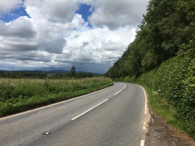
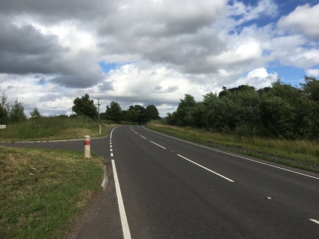
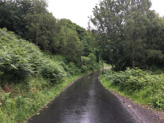
B824 towards Doune
B824 towards Doune
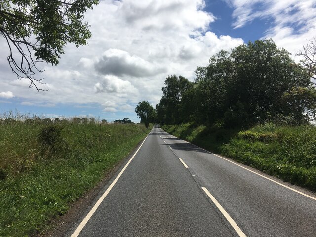
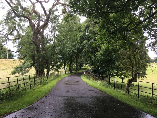
B824 towards Bridge of Allan
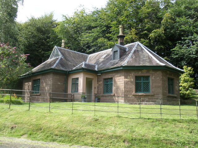
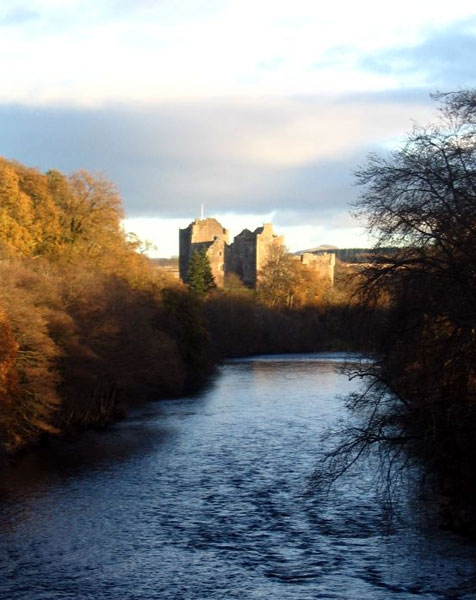
Doune Castle The Royal Hunting Lodge, Doune Castle.
Doune Castle
The Royal Hunting Lodge, Doune Castle.
Track near Doune Ponds Nature Reserve This track leads eventually to the farms of Mansfield and Wester Lundie. Some modern housing developments in the town of Doune can be seen through the trees on the left.
Track near Doune Ponds Nature Reserve
This track leads eventually to the farms of Mansfield and Wester Lundie. Some modern housing developments in the town of Doune can be seen through the trees on the left.
Commonty walk, Doune This is a popular short walk near the small town of Doune, crossing the Commonty (once common grazing land). This track leads over to the road to Cornton.
Commonty walk, Doune
This is a popular short walk near the small town of Doune, crossing the Commonty (once common grazing land). This track leads over to the road to Cornton.
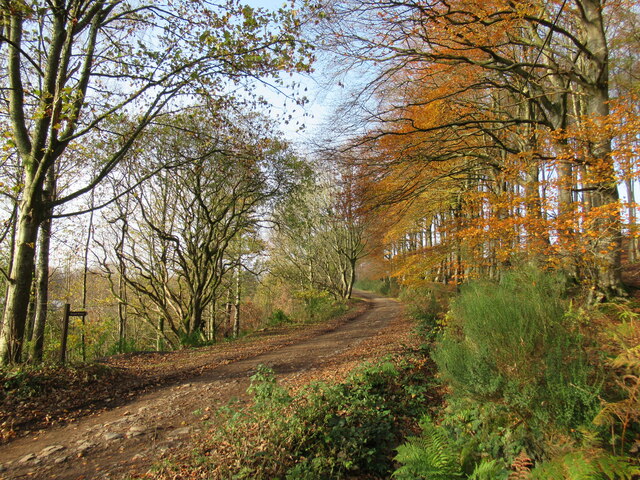
Track to Wester Lundie A track leading from the small town of Doune through forestry plantations to the farms of Mansfield and Wester Lundie.
Track to Wester Lundie
A track leading from the small town of Doune through forestry plantations to the farms of Mansfield and Wester Lundie.
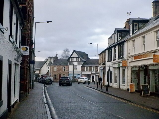
Main Street, Doune Home of Harvey Maps
Main Street, Doune
Home of Harvey Maps
The Highland Hotel, Doune
A820 towards Dunblane
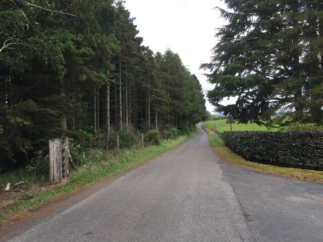
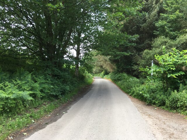
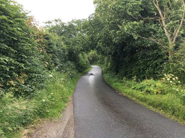
Minor road towards Argaty
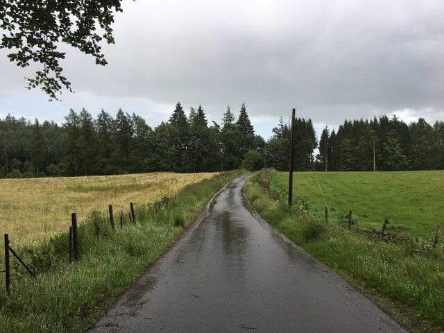
Minor road near Mill of Argaty
Minor road towards Argaty
Minor road near Lerrocks
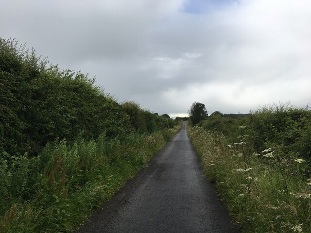
Minor road near Auchenteck Farm
Minor road near Nether Glastry
Road towards Kilbryde Castle
Minor road towards Kilbryde
Show me another place!

Todholds Plantation is located at Grid Ref: NN7402 (Lat: 56.194658, Lng: -4.0234605)

Unitary Authority: Stirling

Police Authority: Forth Valley

What 3 Words

///whiplash.alike.softest. Near Doune, Stirling

Related Wikis

Argaty

Argaty is a farm estate located just over a mile northeast of Doune, Stirling, Scotland. The present Argaty House dates from the 19th century with baronial...

Doune

Doune (; from Scottish Gaelic: An Dùn, meaning 'the fort') is a burgh within Perthshire. The town is administered by Stirling Council. Doune is assigned...

Kilbryde Castle

Kilbryde Castle is a castellated Scottish castle in the Scots baronial style. The castle lies on the A820 between Doune and Dunblane in southern Perthshire...

Doune Castle

Doune Castle is a medieval stronghold near the village of Doune, in the Stirling council area of central Scotland and the historic county of Perthshire...

Nearby Amenities

Located within 500m of 56.194658,-4.0234605
Bench
Backrest: yes
Lat/Long: 56.1921085/-4.0295659
Power: pole
Lat/Long: 56.192736/-4.016508
Power: pole
Lat/Long: 56.1926103/-4.0177108
Power: pole
Lat/Long: 56.1925428/-4.0194093
Power: pole
Lat/Long: 56.1924579/-4.0209571
Power: pole
Lat/Long: 56.1923007/-4.0227728
Power: pole
Lat/Long: 56.1922379/-4.0241136
Power: pole
Lat/Long: 56.1921878/-4.0254
Power: pole
Lat/Long: 56.192132/-4.0267157
Power: pole
Lat/Long: 56.1920633/-4.0279979
Power: pole
Lat/Long: 56.192111/-4.0292844
Power: pole
Lat/Long: 56.1949286/-4.0165938
Power: pole
Lat/Long: 56.1941931/-4.0165352
Power: pole
Lat/Long: 56.1938626/-4.0165164
Power: pole
Lat/Long: 56.1934483/-4.0165059
Power: pole
Lat/Long: 56.1930444/-4.0164955
Power: pole
Lat/Long: 56.1976722/-4.0288252
Power: pole
Lat/Long: 56.1970496/-4.0289173
The data included in this document is from www.openstreetmap.org. The data is made available under ODbL.

Have you been to Todholds Plantation?

Leave your review of Todholds Plantation below (or comments, questions and feedback).