Colonel's Wood
Wood, Forest in Wigtownshire
Scotland
Colonel's Wood
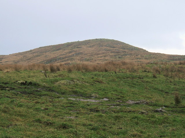
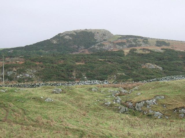
Colonel's Wood is a picturesque forest located in Wigtownshire, Scotland. Covering an area of approximately 100 hectares, it is a prominent natural landmark in the region. The wood is situated on the eastern slopes of a gentle hill, offering stunning views of the surrounding landscape.
The forest is primarily composed of deciduous trees such as oak, beech, and birch, creating a rich and diverse ecosystem. These trees provide a habitat for a wide range of flora and fauna, including various bird species, small mammals, and insects.
Colonel's Wood is known for its enchanting walking trails, making it a popular destination for nature enthusiasts and hikers. The well-marked paths wind through the forest, allowing visitors to explore its hidden treasures. Along these trails, one can discover beautiful wildflowers, moss-covered rocks, and trickling streams.
The wood is also home to a variety of wildlife. Birdwatchers can observe species such as woodpeckers, thrushes, and owls, while those with a keen eye may spot red squirrels scurrying between the branches. Additionally, the forest offers a peaceful environment for visitors to relax and immerse themselves in the tranquility of nature.
Colonel's Wood is managed by local authorities, who ensure its preservation and protection. Visitors are encouraged to respect the natural surroundings, follow designated paths, and refrain from littering.
Overall, Colonel's Wood is a captivating forest that showcases the beauty of Scotland's natural landscapes. Whether it is for a leisurely stroll, birdwatching, or simply enjoying the serenity of nature, this woodland offers a delightful experience for all who visit.
If you have any feedback on the listing, please let us know in the comments section below.
Colonel's Wood Images
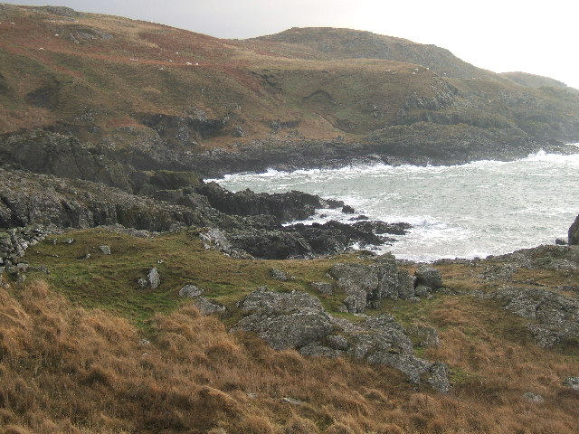
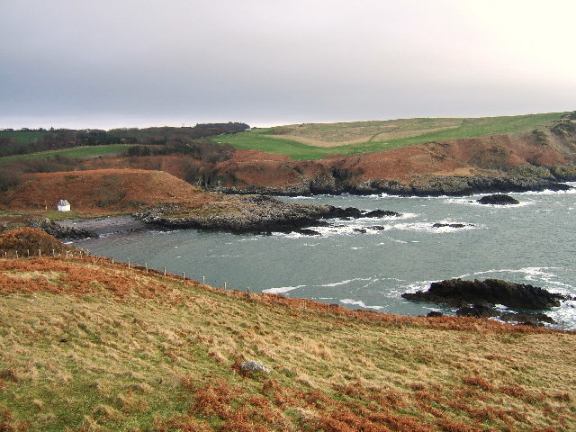
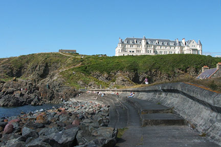
Images are sourced within 2km of 54.857679/-5.1223811 or Grid Reference NW9955. Thanks to Geograph Open Source API. All images are credited.


Colonel's Wood is located at Grid Ref: NW9955 (Lat: 54.857679, Lng: -5.1223811)
Unitary Authority: Dumfries and Galloway
Police Authority: Dumfries and Galloway
What 3 Words
///lifted.down.sharpness. Near Stranraer, Dumfries & Galloway
Nearby Locations
Related Wikis

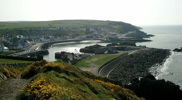
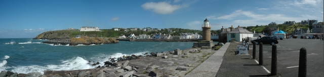
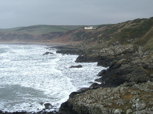
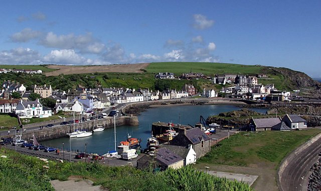
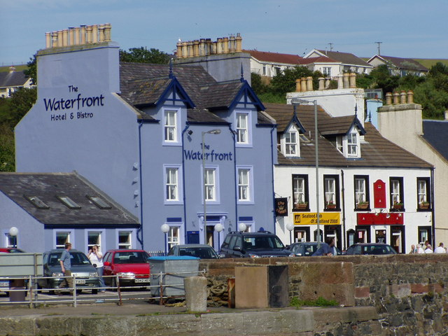
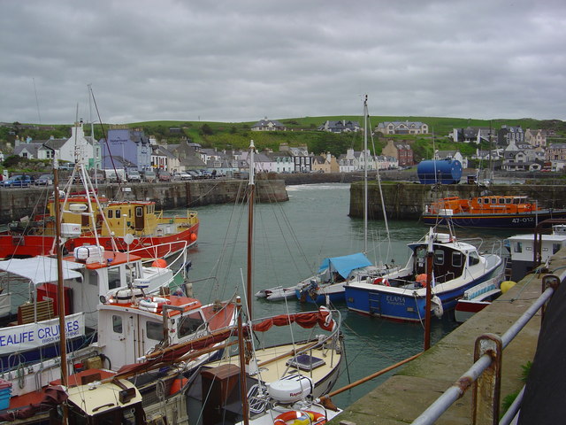
Portpatrick
Portpatrick is a village and civil parish in the historical county of Wigtownshire, Dumfries and Galloway, Scotland. It is located on the west coast of...

Portpatrick railway station
Portpatrick railway station was a railway station serving the village of Portpatrick, Dumfries & Galloway, Scotland. Opened in 1862 the station served...

MV Craigantlet
MV Craigantlet was a German-owned, Cyprus-registered container ship operated on time-charter by Cawoods Containers Ltd of Belfast. She ran aground on 26...

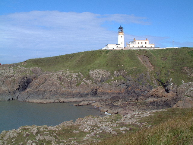
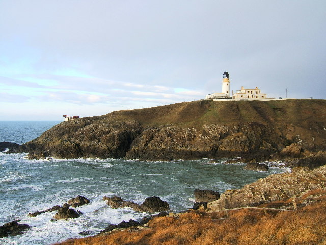
Killantringan Lighthouse
Killantringan Lighthouse is a lighthouse located near Portpatrick in Dumfries and Galloway, south-west Scotland. The light came into operation in 1900...
Dunskey
Dunskey Estate (also known as Portree Estate) is north of Portpatrick on the west coast of Scotland. The B-listed mansion dates from the start of the twentieth...

Dunskey Castle
Dunskey Castle is a ruined, 12th-century tower house or castle, located 0.5 miles (0.80 km) south of the village of Portpatrick, Rhinns, Wigtownshire,...

Colfin railway station
Colfin railway station, located in Wigtownshire, Scotland, between Portpatrick and Stranraer, was a station on the Portpatrick and Wigtownshire Joint Railway...

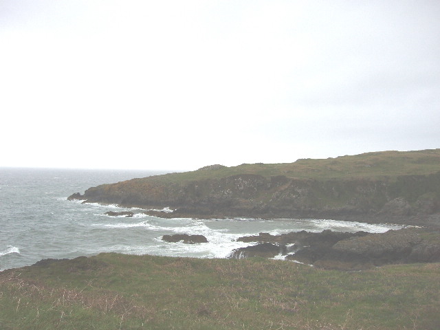
Rhins of Galloway
The Rhins of Galloway, otherwise known as the Rhins of Wigtownshire (or as The Rhins, also spelled The Rhinns; Scottish Gaelic: Na Rannaibh), is a hammer...
Nearby Amenities
Located within 500m of 54.857679,-5.1223811Have you been to Colonel's Wood?
Leave your review of Colonel's Wood below (or comments, questions and feedback).