Moor Plantation
Wood, Forest in Wigtownshire
Scotland
Moor Plantation
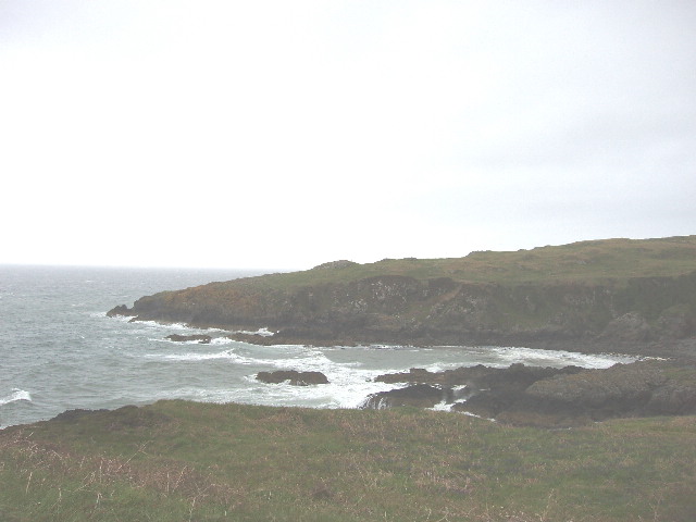
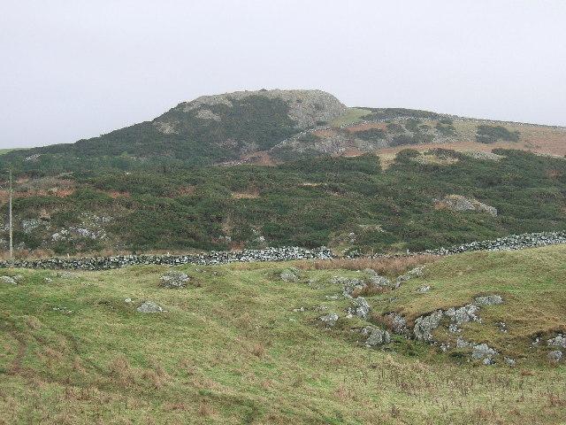
Moor Plantation is a picturesque woodland located in Wigtownshire, Scotland. Covering an area of approximately 500 acres, this enchanting forest is nestled between rolling hills and lush countryside, making it a haven for nature lovers and outdoor enthusiasts.
The plantation is predominantly made up of native deciduous trees, such as oak, beech, and birch, which create a diverse and vibrant ecosystem. The forest floor is adorned with an array of wildflowers, providing a colorful carpet during the spring and summer months. In addition to the native flora, Moor Plantation also boasts several coniferous trees, including spruce and pine, which add further charm to its landscape.
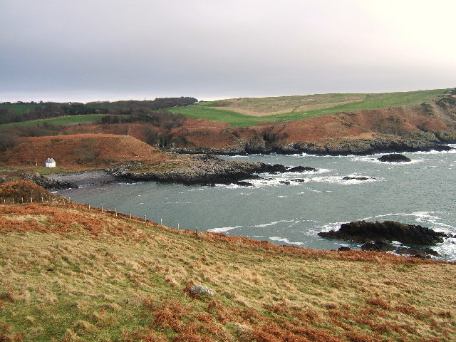
The woodland is crisscrossed by well-maintained paths and trails, allowing visitors to explore its beauty on foot or by bicycle. These routes lead through a variety of enchanting settings, including open meadows, dense thickets, and babbling streams, offering a diverse range of experiences for all who venture within.
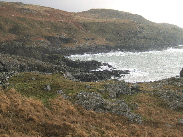
Moor Plantation is not only a sanctuary for plants and trees but also a haven for wildlife. Birdwatchers can delight in spotting a wide range of species, including woodpeckers, owls, and various songbirds. Deer, foxes, and squirrels are also commonly sighted, adding to the natural wonders that the plantation has to offer.
Whether one seeks tranquility, a chance to reconnect with nature, or simply a peaceful retreat, Moor Plantation in Wigtownshire is a place of breathtaking beauty and an ideal destination for those seeking solace in the great outdoors.
If you have any feedback on the listing, please let us know in the comments section below.
Moor Plantation Images
Images are sourced within 2km of 54.854872/-5.1311871 or Grid Reference NW9955. Thanks to Geograph Open Source API. All images are credited.


Moor Plantation is located at Grid Ref: NW9955 (Lat: 54.854872, Lng: -5.1311871)
Unitary Authority: Dumfries and Galloway
Police Authority: Dumfries and Galloway
What 3 Words
///financial.corporate.regularly. Near Stranraer, Dumfries & Galloway
Nearby Locations
Related Wikis

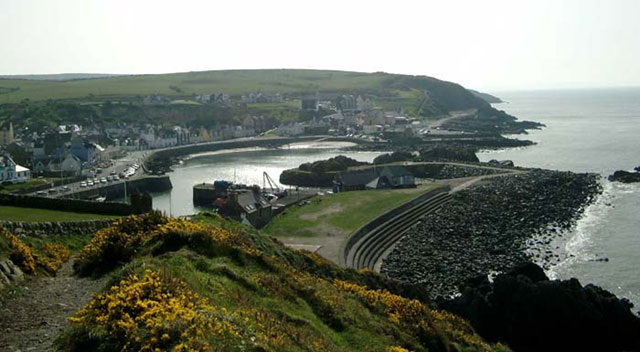
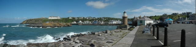
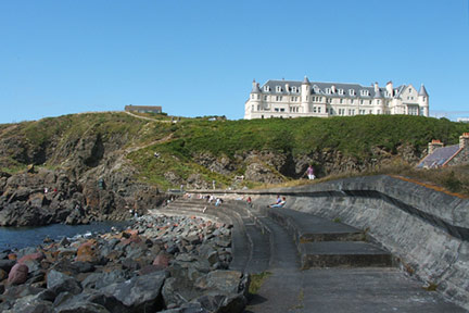
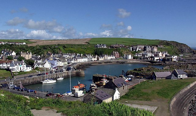
Portpatrick
Portpatrick is a village and civil parish in the historical county of Wigtownshire, Dumfries and Galloway, Scotland. It is located on the west coast of...

MV Craigantlet
MV Craigantlet was a German-owned, Cyprus-registered container ship operated on time-charter by Cawoods Containers Ltd of Belfast. She ran aground on 26...

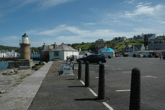
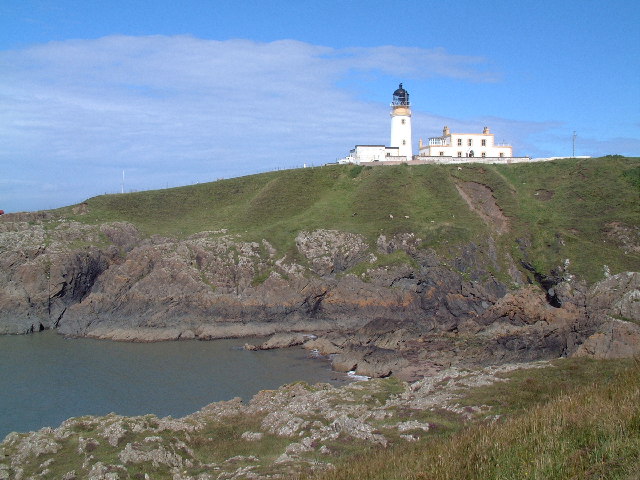
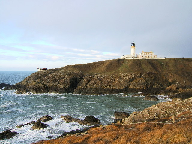
Killantringan Lighthouse
Killantringan Lighthouse is a lighthouse located near Portpatrick in Dumfries and Galloway, south-west Scotland. The light came into operation in 1900...

Portpatrick railway station
Portpatrick railway station was a railway station serving the village of Portpatrick, Dumfries & Galloway, Scotland. Opened in 1862 the station served...
Dunskey
Dunskey Estate (also known as Portree Estate) is north of Portpatrick on the west coast of Scotland. The B-listed mansion dates from the start of the twentieth...

Dunskey Castle
Dunskey Castle is a ruined, 12th-century tower house or castle, located 0.5 miles (0.80 km) south of the village of Portpatrick, Rhinns, Wigtownshire,...

Colfin railway station
Colfin railway station, located in Wigtownshire, Scotland, between Portpatrick and Stranraer, was a station on the Portpatrick and Wigtownshire Joint Railway...
Knockinaam Lodge
Knockinaam Lodge is a hotel and restaurant located about 3.5 miles South of Portpatrick, Dumfries & Galloway, Scotland. As of 2008, the restaurant holds...
Nearby Amenities
Located within 500m of 54.854872,-5.1311871Have you been to Moor Plantation?
Leave your review of Moor Plantation below (or comments, questions and feedback).