Islayfitz
Coastal Feature, Headland, Point in Wigtownshire
Scotland
Islayfitz
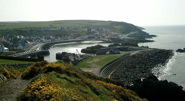
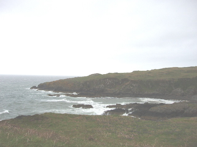
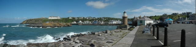
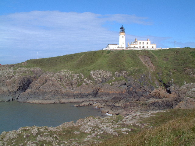
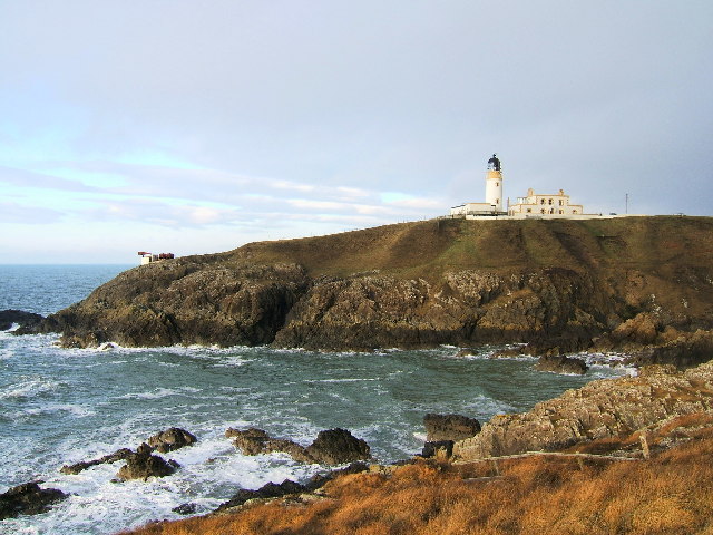
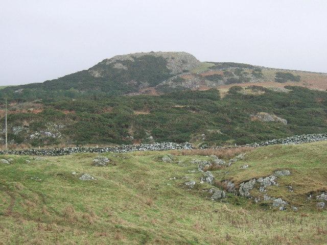
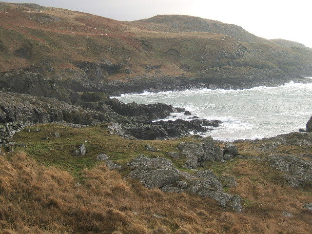
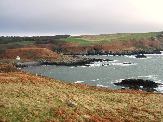
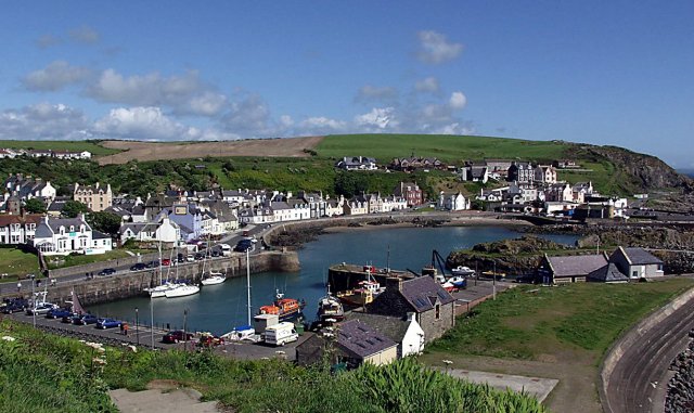
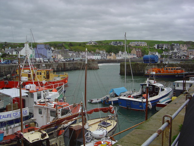
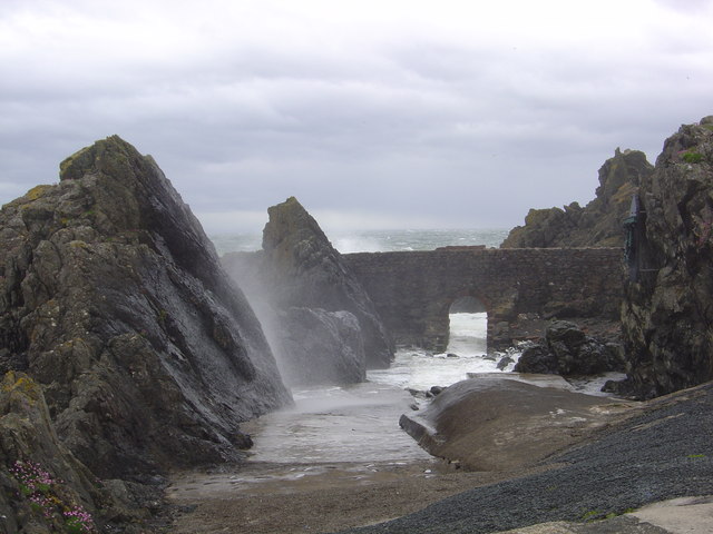
Islayfitz is a prominent headland located in Wigtownshire, a region in southwestern Scotland. Situated on the coast overlooking the Irish Sea, Islayfitz is known for its stunning natural beauty and dramatic cliffs that make it a popular destination for tourists and nature enthusiasts.
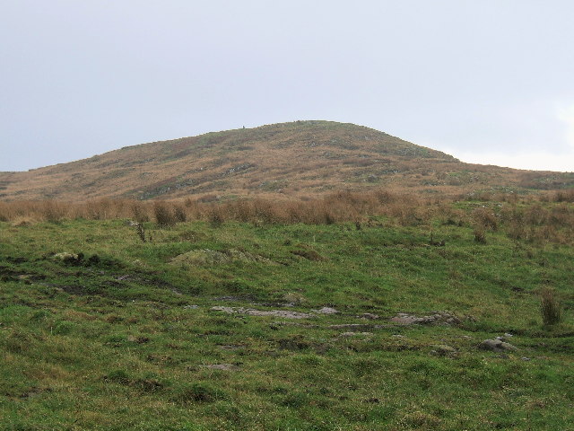
The headland is characterized by its rugged terrain, with steep cliffs rising from the sea and offering breathtaking panoramic views of the surrounding landscape. The cliffs are composed of sedimentary rock formations, showcasing layers of different geological periods, providing a glimpse into the region's ancient history.
Islayfitz is also home to a diverse range of flora and fauna. The headland's grassy slopes are covered in wildflowers during the spring and summer months, attracting a variety of butterflies and other insects. Seabirds such as gannets, puffins, and guillemots can be seen nesting on the cliffs, creating a vibrant and lively atmosphere for visitors.
For those interested in outdoor activities, Islayfitz offers opportunities for hiking and birdwatching. There are well-marked trails that wind along the headland, providing access to different viewpoints and allowing visitors to explore the area's natural wonders. The headland's location near the coast also makes it an ideal spot for fishing and coastal walks, where visitors can enjoy the sound of crashing waves and the fresh sea breeze.
Overall, Islayfitz is a captivating coastal feature in Wigtownshire that offers a unique blend of natural beauty, geological interest, and wildlife diversity. Its breathtaking cliffs and panoramic views make it a must-visit destination for anyone exploring the region.
If you have any feedback on the listing, please let us know in the comments section below.
Islayfitz Images
Images are sourced within 2km of 54.850141/-5.1319423 or Grid Reference NW9955. Thanks to Geograph Open Source API. All images are credited.


Islayfitz is located at Grid Ref: NW9955 (Lat: 54.850141, Lng: -5.1319423)
Unitary Authority: Dumfries and Galloway
Police Authority: Dumfries and Galloway
What 3 Words
///evolution.without.yards. Near Stranraer, Dumfries & Galloway
Nearby Locations
Related Wikis

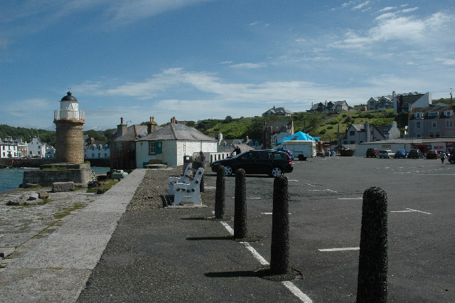
Portpatrick
Portpatrick is a village and civil parish in the historical county of Wigtownshire, Dumfries and Galloway, Scotland. It is located on the west coast of...

Portpatrick railway station
Portpatrick railway station was a railway station serving the village of Portpatrick, Dumfries & Galloway, Scotland. Opened in 1862 the station served...

MV Craigantlet
MV Craigantlet was a German-owned, Cyprus-registered container ship operated on time-charter by Cawoods Containers Ltd of Belfast. She ran aground on 26...
Dunskey
Dunskey Estate (also known as Portree Estate) is north of Portpatrick on the west coast of Scotland. The B-listed mansion dates from the start of the twentieth...
Nearby Amenities
Located within 500m of 54.850141,-5.1319423Have you been to Islayfitz?
Leave your review of Islayfitz below (or comments, questions and feedback).