Trenched Wood
Wood, Forest in Wigtownshire
Scotland
Trenched Wood
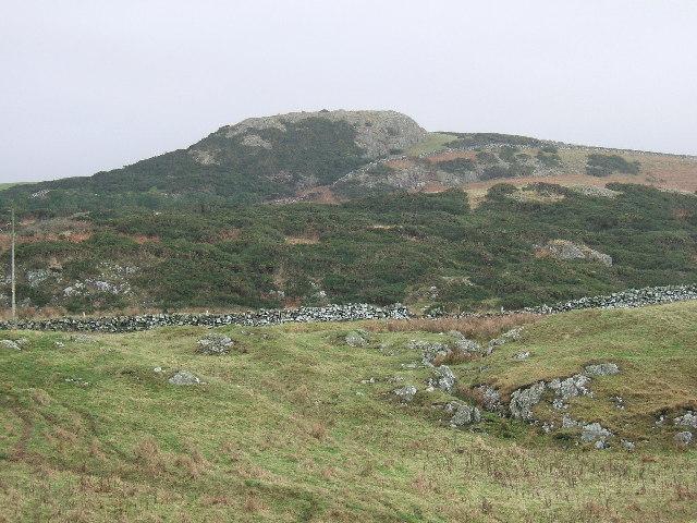
Trenched Wood, located in Wigtownshire, is a captivating forest that spans over a vast area of land in southwest Scotland. The wood is renowned for its natural beauty, enchanting atmosphere, and rich biodiversity.
Covering an estimated area of 500 acres, Trenched Wood is predominantly composed of ancient broadleaf trees, including oak, birch, and ash. These towering giants create a dense canopy, casting a spellbinding shade over the forest floor. The woodland is also home to an array of vibrant flora, such as bluebells, wild garlic, and foxgloves, which add a burst of color to the landscape during spring and summer months.
The forest is traversed by a network of well-maintained walking trails, allowing visitors to explore its hidden treasures. As one ventures deeper into Trenched Wood, they may stumble upon a meandering stream, babbling softly as it winds its way through the trees. This stream not only adds to the peaceful ambiance but also provides a vital water source for the abundant wildlife that calls the wood home.
Trenched Wood is a sanctuary for various animal species, including red squirrels, roe deer, and a variety of woodland birds. Birdwatchers can delight in spotting species such as the great spotted woodpecker, tawny owl, and the elusive Scottish crossbill. The forest is also home to a diverse range of insects and small mammals, further contributing to its ecological importance.
Overall, Trenched Wood is a captivating and biodiverse forest, offering a tranquil retreat for nature enthusiasts and a haven for numerous plant and animal species. Its natural beauty and serene atmosphere make it an ideal destination for those seeking solace in the heart of nature.
If you have any feedback on the listing, please let us know in the comments section below.
Trenched Wood Images
Images are sourced within 2km of 54.85791/-5.1308617 or Grid Reference NW9955. Thanks to Geograph Open Source API. All images are credited.


Trenched Wood is located at Grid Ref: NW9955 (Lat: 54.85791, Lng: -5.1308617)
Unitary Authority: Dumfries and Galloway
Police Authority: Dumfries and Galloway
What 3 Words
///plodding.harnessed.standards. Near Stranraer, Dumfries & Galloway
Nearby Locations
Related Wikis

MV Craigantlet
MV Craigantlet was a German-owned, Cyprus-registered container ship operated on time-charter by Cawoods Containers Ltd of Belfast. She ran aground on 26...

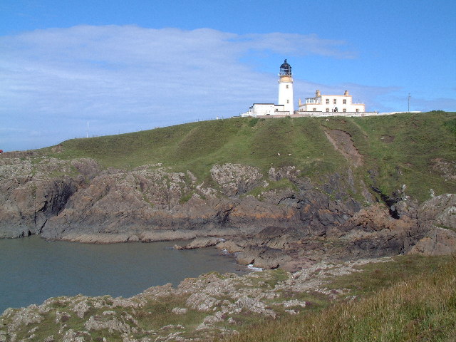
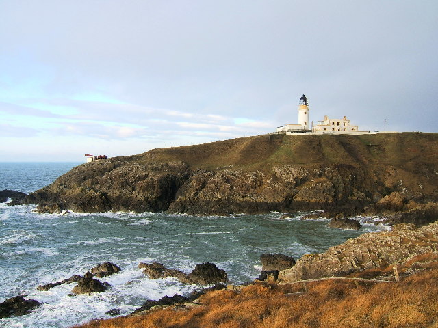
Killantringan Lighthouse
Killantringan Lighthouse is a lighthouse located near Portpatrick in Dumfries and Galloway, south-west Scotland. The light came into operation in 1900...

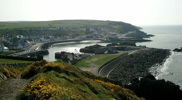
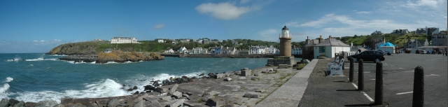
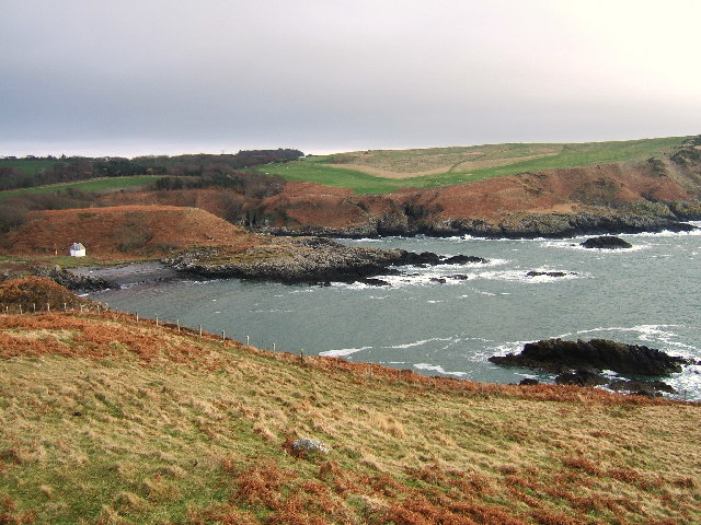
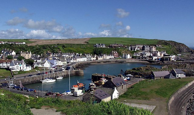
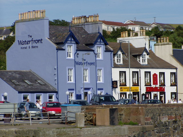
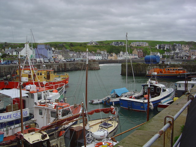
Portpatrick
Portpatrick is a village and civil parish in the historical county of Wigtownshire, Dumfries and Galloway, Scotland. It is located on the west coast of...

Portpatrick railway station
Portpatrick railway station was a railway station serving the village of Portpatrick, Dumfries & Galloway, Scotland. Opened in 1862 the station served...
Dunskey
Dunskey Estate (also known as Portree Estate) is north of Portpatrick on the west coast of Scotland. The B-listed mansion dates from the start of the twentieth...

Dunskey Castle
Dunskey Castle is a ruined, 12th-century tower house or castle, located 0.5 miles (0.80 km) south of the village of Portpatrick, Rhinns, Wigtownshire,...

Colfin railway station
Colfin railway station, located in Wigtownshire, Scotland, between Portpatrick and Stranraer, was a station on the Portpatrick and Wigtownshire Joint Railway...

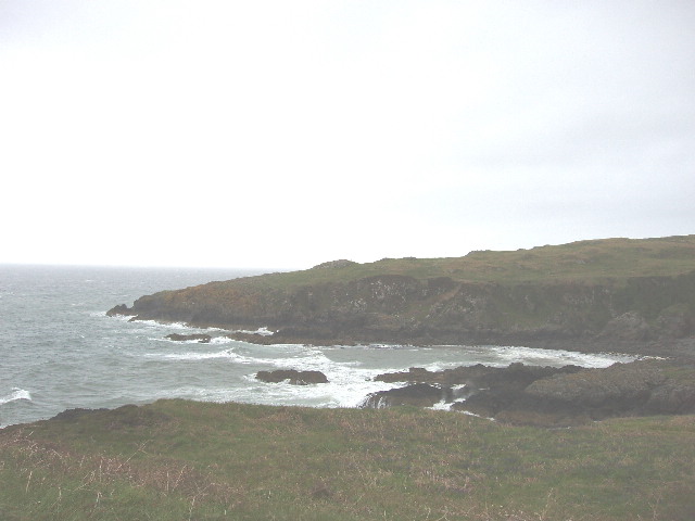
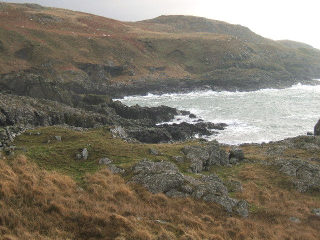
Rhins of Galloway
The Rhins of Galloway, otherwise known as the Rhins of Wigtownshire (or as The Rhins, also spelled The Rhinns; Scottish Gaelic: Na Rannaibh), is a hammer...
Nearby Amenities
Located within 500m of 54.85791,-5.1308617Have you been to Trenched Wood?
Leave your review of Trenched Wood below (or comments, questions and feedback).