Vance's Glen
Valley in Wigtownshire
Scotland
Vance's Glen
Vance's Glen is a picturesque valley located in Wigtownshire, Scotland. Nestled between rolling hills and bordered by lush forests, this hidden gem offers visitors a tranquil and enchanting escape from the hustle and bustle of city life.
The glen is named after its original owner, Vance, who settled in the area centuries ago. It is renowned for its stunning natural beauty, characterized by a meandering river that runs through the valley, creating a serene and calming atmosphere. The river is flanked by towering, ancient trees, their branches stretching towards the sky, providing shade and adding to the overall charm of the glen.
Visitors to Vance's Glen can explore its numerous walking trails, which wind their way through the verdant landscape. These trails offer breathtaking views of the surrounding countryside, with glimpses of wildlife such as deer, foxes, and a variety of bird species. The glen is also home to a diverse range of flora, including wildflowers, ferns, and mosses, adding splashes of color to the landscape throughout the year.
For nature enthusiasts and photographers, Vance's Glen offers a wealth of opportunities to capture stunning images of the Scottish countryside. From the cascading waterfalls to the sun-dappled paths, every corner of this valley is a feast for the eyes.
Overall, Vance's Glen in Wigtownshire is a haven of natural beauty and tranquility, offering visitors a chance to immerse themselves in the stunning surroundings and experience the wonders of Scotland's countryside.
If you have any feedback on the listing, please let us know in the comments section below.
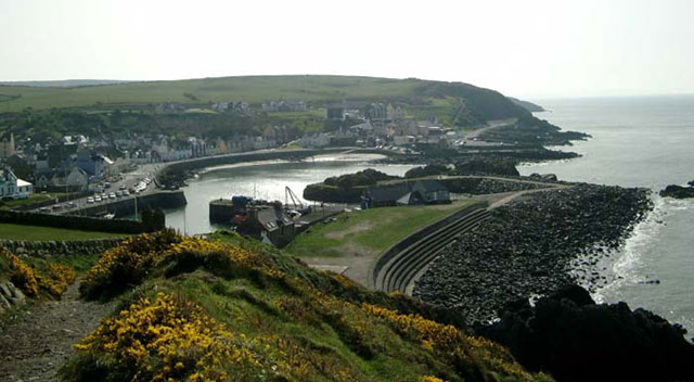
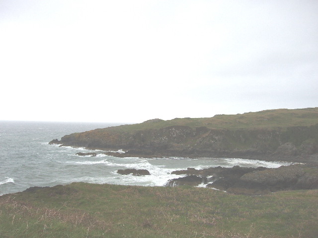
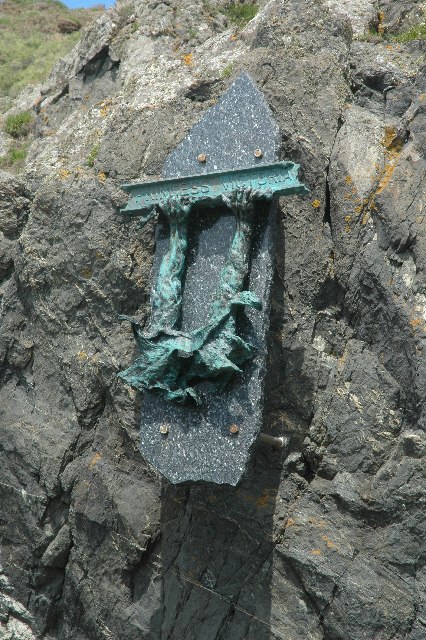
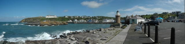
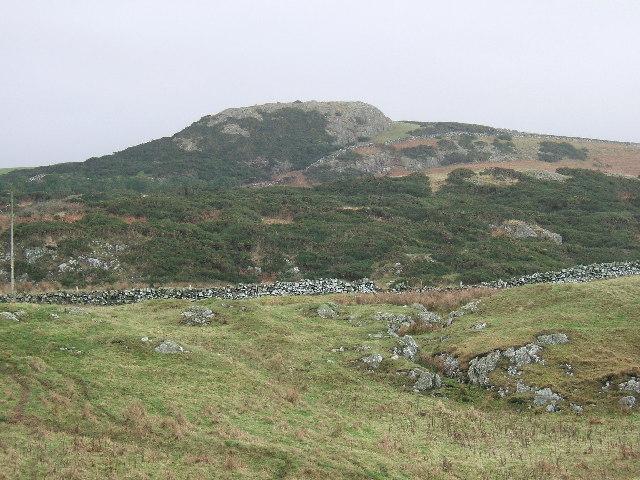
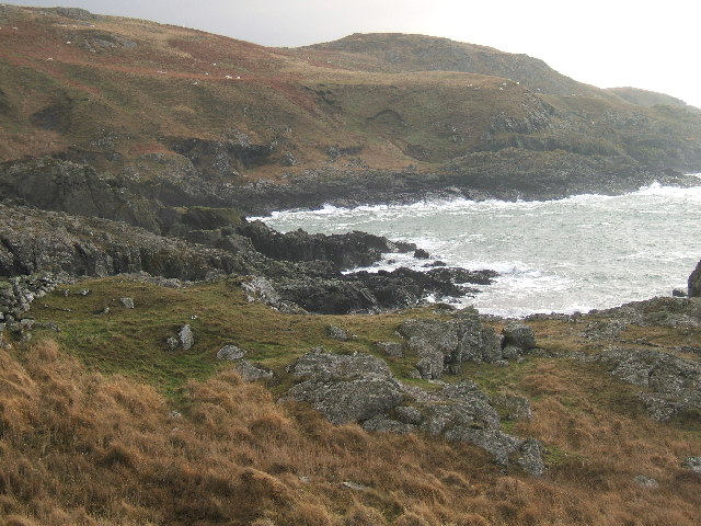
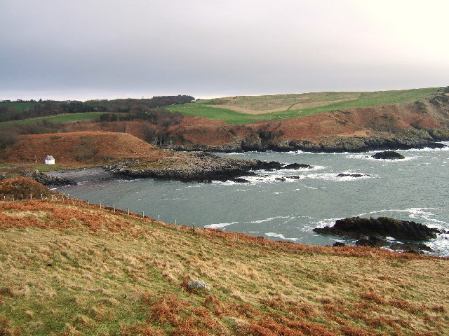
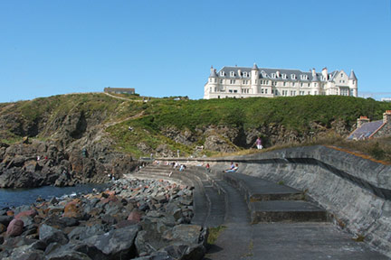
Vance's Glen Images
Images are sourced within 2km of 54.857633/-5.1262582 or Grid Reference NW9955. Thanks to Geograph Open Source API. All images are credited.


Vance's Glen is located at Grid Ref: NW9955 (Lat: 54.857633, Lng: -5.1262582)
Unitary Authority: Dumfries and Galloway
Police Authority: Dumfries and Galloway
What 3 Words
///campus.lowest.compounds. Near Stranraer, Dumfries & Galloway
Nearby Locations
Related Wikis

MV Craigantlet
MV Craigantlet was a German-owned, Cyprus-registered container ship operated on time-charter by Cawoods Containers Ltd of Belfast. She ran aground on 26...

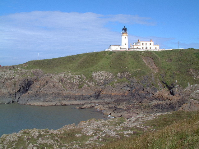
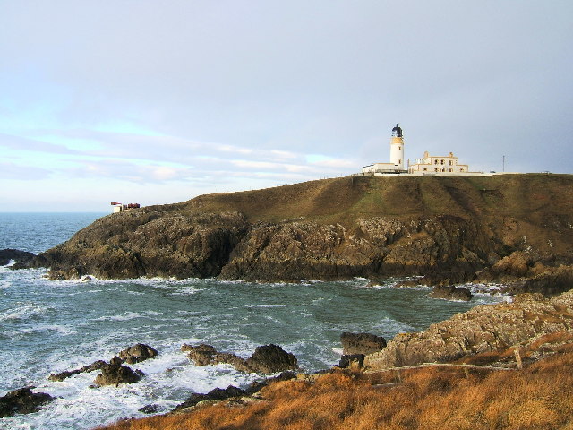
Killantringan Lighthouse
Killantringan Lighthouse is a lighthouse located near Portpatrick in Dumfries and Galloway, south-west Scotland. The light came into operation in 1900...

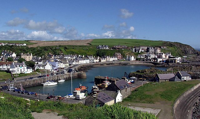
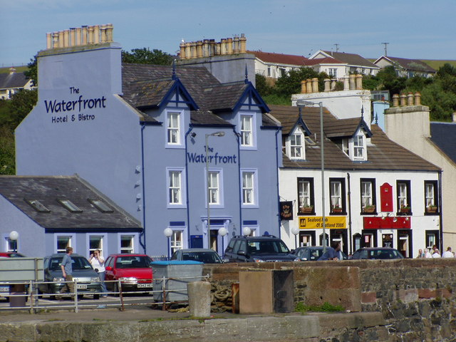
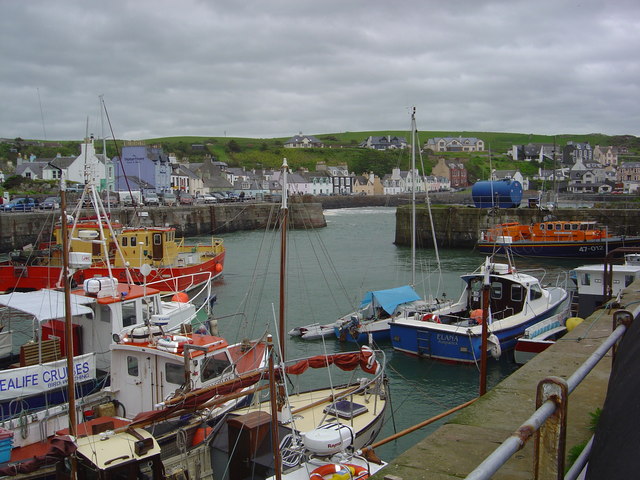
Portpatrick
Portpatrick is a village and civil parish in the historical county of Wigtownshire, Dumfries and Galloway, Scotland. It is located on the west coast of...

Portpatrick railway station
Portpatrick railway station was a railway station serving the village of Portpatrick, Dumfries & Galloway, Scotland. Opened in 1862 the station served...
Nearby Amenities
Located within 500m of 54.857633,-5.1262582Have you been to Vance's Glen?
Leave your review of Vance's Glen below (or comments, questions and feedback).