Kingston Bottom
Valley in Pembrokeshire
Wales
Kingston Bottom

Kingston Bottom is a picturesque valley located in the county of Pembrokeshire, Wales. Situated in the western part of the county, the valley is known for its stunning natural beauty and tranquil atmosphere.
Surrounded by rolling hills and lush greenery, Kingston Bottom offers visitors a chance to escape the hustle and bustle of city life and immerse themselves in a peaceful rural setting. The valley is characterized by its idyllic countryside charm, with meandering streams, meadows dotted with wildflowers, and ancient woodlands.
The area is a haven for nature enthusiasts and outdoor lovers. Hiking and walking trails crisscross the valley, providing a chance to explore the diverse flora and fauna that call Kingston Bottom home. The valley is also home to a variety of bird species, making it a popular spot for birdwatching.
For those interested in history, Kingston Bottom has its own unique historical significance. The valley houses several archaeological sites, including ancient burial mounds and remnants of Iron Age settlements. These sites offer a glimpse into the area's rich past and provide a fascinating insight into the lives of its early inhabitants.
Visitors to Kingston Bottom can also enjoy the hospitality of the local community. The valley is dotted with charming cottages and guesthouses, providing a range of accommodation options. Additionally, there are quaint pubs and traditional tearooms where visitors can indulge in delicious local cuisine and sample traditional Welsh dishes.
In conclusion, Kingston Bottom in Pembrokeshire is a hidden gem that offers visitors a chance to experience the beauty of the Welsh countryside. With its stunning landscapes, rich history, and warm hospitality, it is an ideal destination for those seeking a peaceful and rejuvenating getaway.
If you have any feedback on the listing, please let us know in the comments section below.
Kingston Bottom Images
Images are sourced within 2km of 51.664114/-4.9012055 or Grid Reference SM9900. Thanks to Geograph Open Source API. All images are credited.


Kingston Bottom is located at Grid Ref: SM9900 (Lat: 51.664114, Lng: -4.9012055)
Unitary Authority: Pembrokeshire
Police Authority: Dyfed Powys
What 3 Words
///ripen.trophy.edges. Near Pembroke, Pembrokeshire
Nearby Locations
Related Wikis

Pembroke St Michael
Pembroke St Michael is the name of an electoral ward in the town of Pembroke, Pembrokeshire, Wales. It covers the east area of the town.The ward currently...
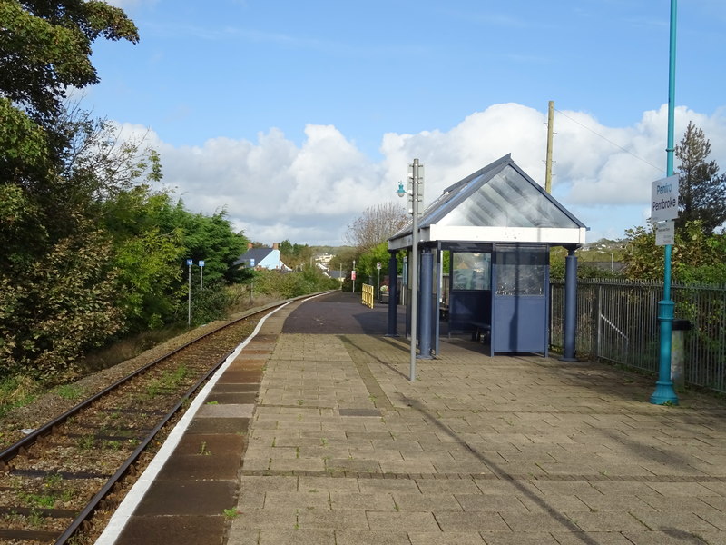
Pembroke railway station
Pembroke railway station serves the town of Pembroke, Pembrokeshire, Wales. == History == On 30 July 1863, Pembroke railway station was opened by the Pembroke...

Penfro (cantref)
The Cantref of Penfro was one of the seven cantrefi of the Kingdom of Dyfed. It subsequently became part of Deheubarth in around 950. It consisted of...
Pembroke town walls
Pembroke's town walls are a Grade II*-listed medieval defensive structure around the town of Pembroke, Pembrokeshire, Wales. They were probably built beginning...
Nearby Amenities
Located within 500m of 51.664114,-4.9012055Have you been to Kingston Bottom?
Leave your review of Kingston Bottom below (or comments, questions and feedback).