Morroch Glen
Valley in Wigtownshire
Scotland
Morroch Glen
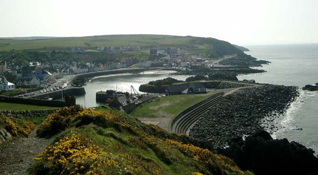
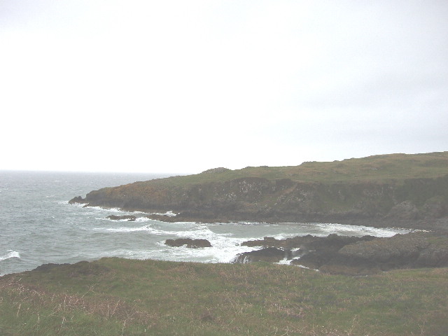
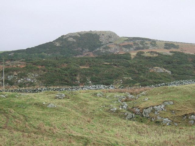
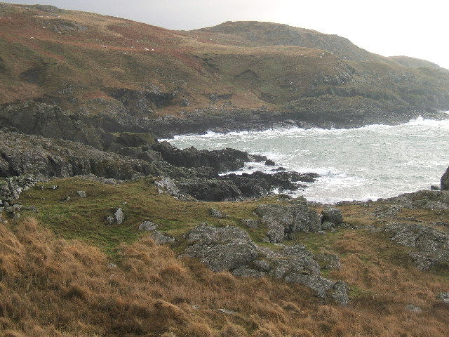
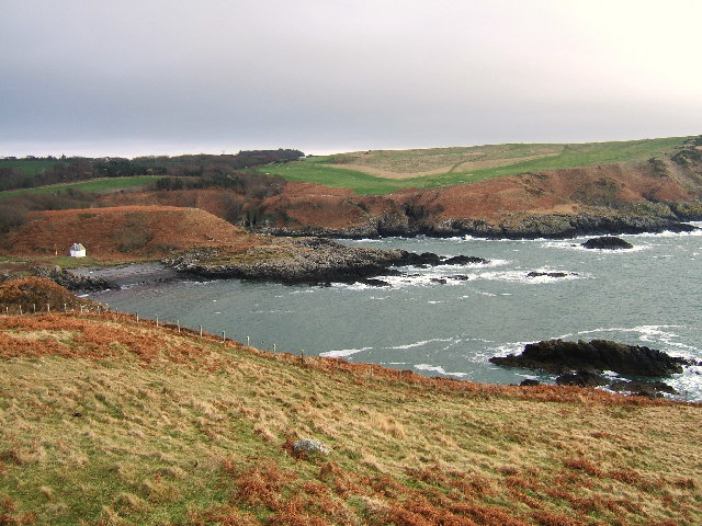
Morroch Glen is a picturesque valley located in Wigtownshire, Scotland. Situated in the southwest of the country, it is surrounded by rolling hills and offers stunning views of the surrounding landscape. The glen is known for its natural beauty, with lush greenery, meandering streams, and an abundance of wildlife.
The valley is home to a diverse range of flora and fauna, making it a popular spot for nature enthusiasts and hikers. Visitors can expect to see a variety of plant species, including heather, ferns, and wildflowers, which add to the area's charm and tranquility.
The glen is also known for its historical significance, as it was once home to prehistoric settlements. Archaeological remains have been discovered in the area, providing a glimpse into the lives of early inhabitants. These findings have attracted researchers and historians, contributing to the understanding of Scotland's ancient past.
In addition to its natural and historical attractions, Morroch Glen offers recreational activities for visitors. There are well-maintained walking trails that provide opportunities for leisurely strolls or more challenging hikes. The glen is also a popular spot for birdwatching, as it is home to a variety of bird species, including red kites and buzzards.
Overall, Morroch Glen is a remarkable destination that combines breathtaking scenery, rich history, and outdoor activities. Its tranquil and idyllic setting makes it a must-visit location for those seeking a peaceful escape in the heart of Scotland's Wigtownshire.
If you have any feedback on the listing, please let us know in the comments section below.
Morroch Glen Images
Images are sourced within 2km of 54.851262/-5.1254378 or Grid Reference NW9955. Thanks to Geograph Open Source API. All images are credited.


Morroch Glen is located at Grid Ref: NW9955 (Lat: 54.851262, Lng: -5.1254378)
Unitary Authority: Dumfries and Galloway
Police Authority: Dumfries and Galloway
What 3 Words
///solicitor.bandage.roosters. Near Stranraer, Dumfries & Galloway
Nearby Locations
Related Wikis

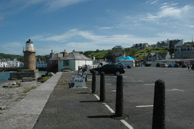
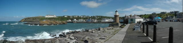
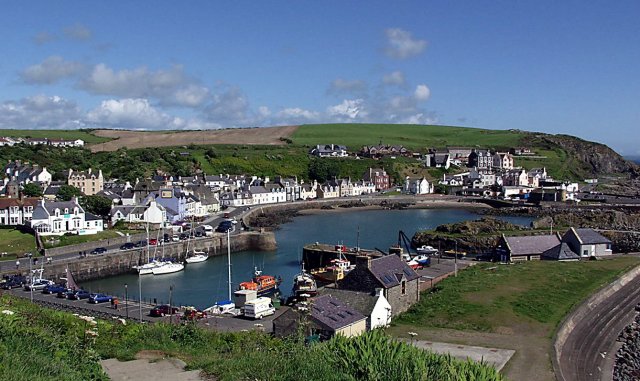
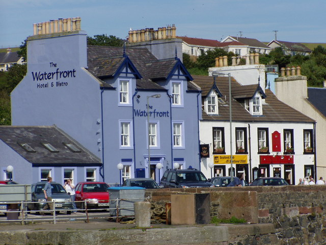
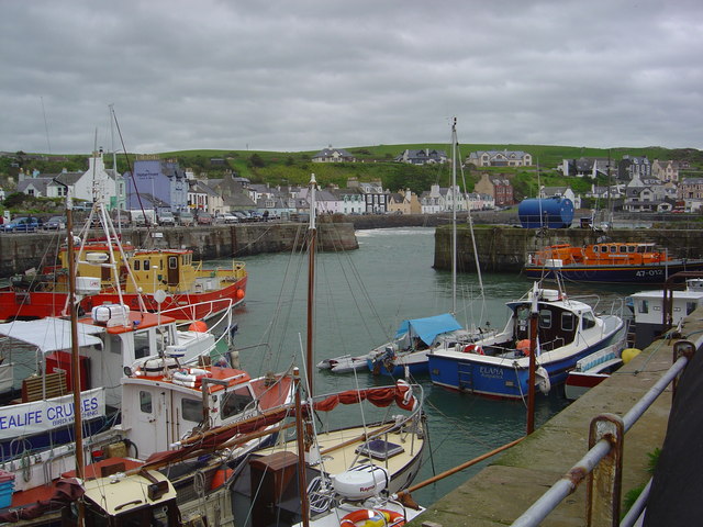
Portpatrick
Portpatrick is a village and civil parish in the historical county of Wigtownshire, Dumfries and Galloway, Scotland. It is located on the west coast of...

Portpatrick railway station
Portpatrick railway station was a railway station serving the village of Portpatrick, Dumfries & Galloway, Scotland. Opened in 1862 the station served...

Dunskey
Dunskey Estate (also known as Portree Estate) is north of Portpatrick on the west coast of Scotland. The B-listed mansion dates from the start of the twentieth...
MV Craigantlet
MV Craigantlet was a German-owned, Cyprus-registered container ship operated on time-charter by Cawoods Containers Ltd of Belfast. She ran aground on 26...

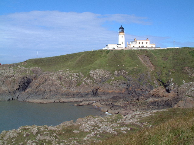
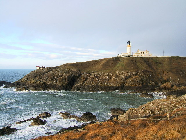
Killantringan Lighthouse
Killantringan Lighthouse is a lighthouse located near Portpatrick in Dumfries and Galloway, south-west Scotland. The light came into operation in 1900...

Dunskey Castle
Dunskey Castle is a ruined, 12th-century tower house or castle, located 0.5 miles (0.80 km) south of the village of Portpatrick, Rhinns, Wigtownshire,...

Colfin railway station
Colfin railway station, located in Wigtownshire, Scotland, between Portpatrick and Stranraer, was a station on the Portpatrick and Wigtownshire Joint Railway...
Knockinaam Lodge
Knockinaam Lodge is a hotel and restaurant located about 3.5 miles South of Portpatrick, Dumfries & Galloway, Scotland. As of 2008, the restaurant holds...
Nearby Amenities
Located within 500m of 54.851262,-5.1254378Have you been to Morroch Glen?
Leave your review of Morroch Glen below (or comments, questions and feedback).