Keeper's Wood
Wood, Forest in Wigtownshire
Scotland
Keeper's Wood
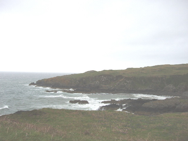
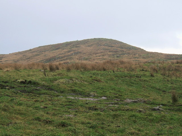
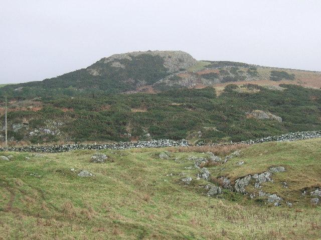
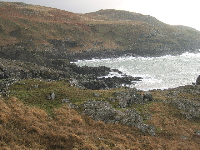
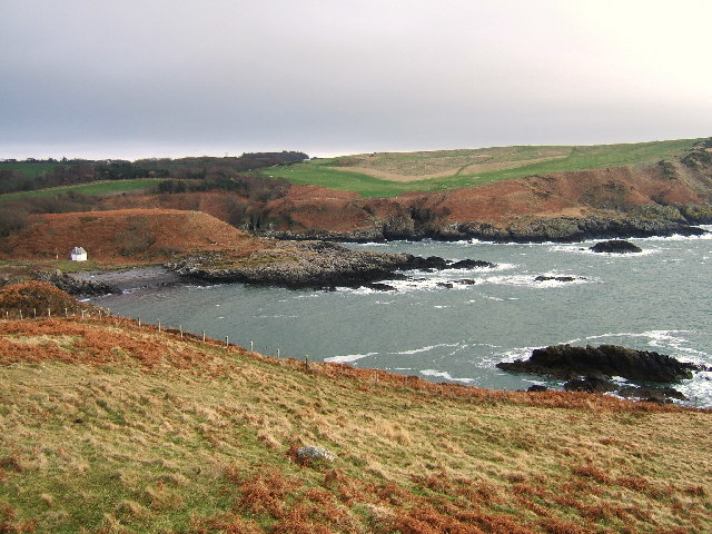
Keeper's Wood is a picturesque woodland located in Wigtownshire, a region in southwest Scotland. Covering an area of approximately 100 hectares, it is known for its diverse flora and fauna, making it a popular destination for nature enthusiasts and hikers alike.
The woodland is predominantly composed of mixed deciduous trees, including oak, beech, and birch, which create a vibrant and colorful canopy during the autumn months. The forest floor is adorned with a variety of wildflowers, mosses, and ferns, adding to the enchanting ambiance of the area.
With its well-maintained trails and paths, Keeper's Wood offers visitors the opportunity to explore its natural beauty while enjoying a peaceful and tranquil environment. The pathways wind through the trees, leading to hidden clearings and secluded spots, perfect for a picnic or simply taking in the sights and sounds of nature.
The wood is also home to a rich diversity of wildlife. Birdwatchers can spot a range of species, including woodpeckers, thrushes, and owls, while the lucky ones might even catch a glimpse of roe deer or red squirrels darting through the undergrowth.
In addition to its natural wonders, Keeper's Wood is also of historical significance. The remains of an ancient settlement, including a stone circle and burial mounds, can be found within the woodland, providing insight into the area's past inhabitants.
Overall, Keeper's Wood offers a captivating and immersive experience for nature lovers, history enthusiasts, and those seeking solace in the beauty of the natural world.
If you have any feedback on the listing, please let us know in the comments section below.
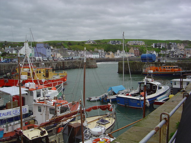
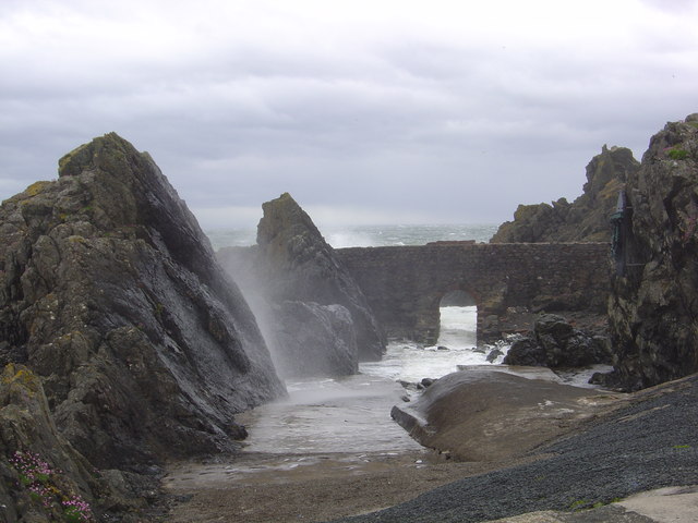
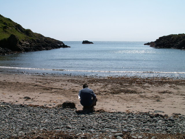
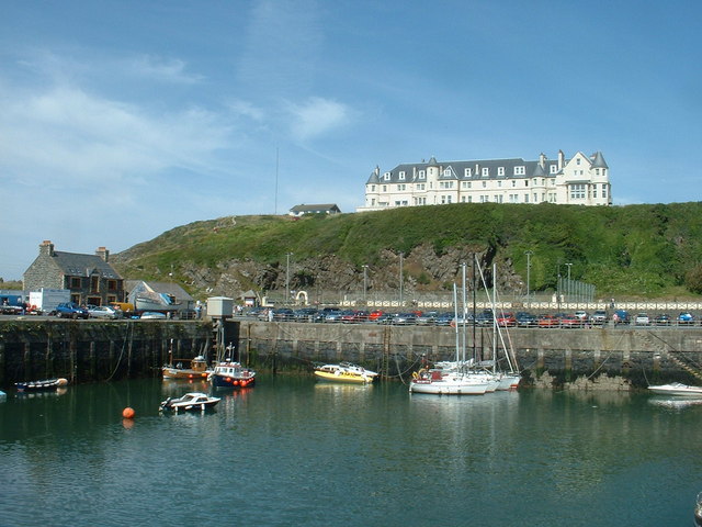
Keeper's Wood Images
Images are sourced within 2km of 54.85116/-5.1182152 or Grid Reference NW9955. Thanks to Geograph Open Source API. All images are credited.


Keeper's Wood is located at Grid Ref: NW9955 (Lat: 54.85116, Lng: -5.1182152)
Unitary Authority: Dumfries and Galloway
Police Authority: Dumfries and Galloway
What 3 Words
///stumble.restored.chuckling. Near Stranraer, Dumfries & Galloway
Nearby Locations
Related Wikis

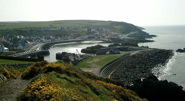
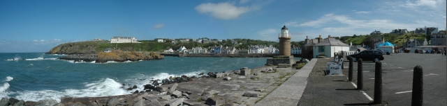
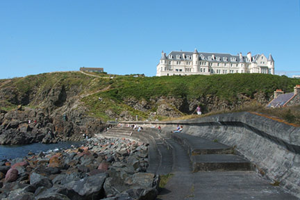
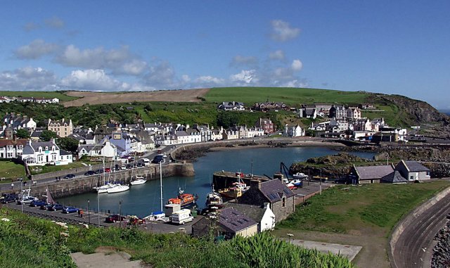
Portpatrick
Portpatrick is a village and civil parish in the historical county of Wigtownshire, Dumfries and Galloway, Scotland. It is located on the west coast of...

Portpatrick railway station
Portpatrick railway station was a railway station serving the village of Portpatrick, Dumfries & Galloway, Scotland. Opened in 1862 the station served...

Dunskey
Dunskey Estate (also known as Portree Estate) is north of Portpatrick on the west coast of Scotland. The B-listed mansion dates from the start of the twentieth...

Dunskey Castle
Dunskey Castle is a ruined, 12th-century tower house or castle, located 0.5 miles (0.80 km) south of the village of Portpatrick, Rhinns, Wigtownshire,...
MV Craigantlet
MV Craigantlet was a German-owned, Cyprus-registered container ship operated on time-charter by Cawoods Containers Ltd of Belfast. She ran aground on 26...

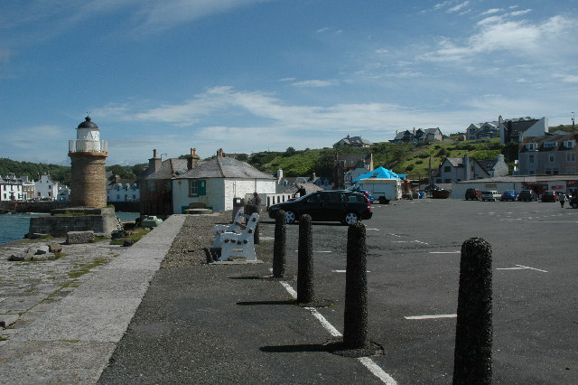
Killantringan Lighthouse
Killantringan Lighthouse is a lighthouse located near Portpatrick in Dumfries and Galloway, south-west Scotland. The light came into operation in 1900...

Colfin railway station
Colfin railway station, located in Wigtownshire, Scotland, between Portpatrick and Stranraer, was a station on the Portpatrick and Wigtownshire Joint Railway...
Knockinaam Lodge
Knockinaam Lodge is a hotel and restaurant located about 3.5 miles South of Portpatrick, Dumfries & Galloway, Scotland. As of 2008, the restaurant holds...
Nearby Amenities
Located within 500m of 54.85116,-5.1182152Have you been to Keeper's Wood?
Leave your review of Keeper's Wood below (or comments, questions and feedback).