Dunskey Glen
Valley in Wigtownshire
Scotland
Dunskey Glen
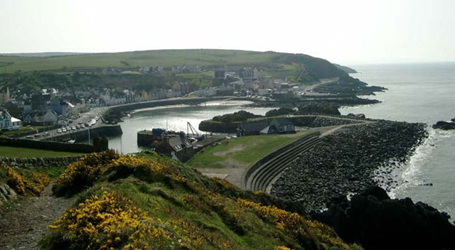
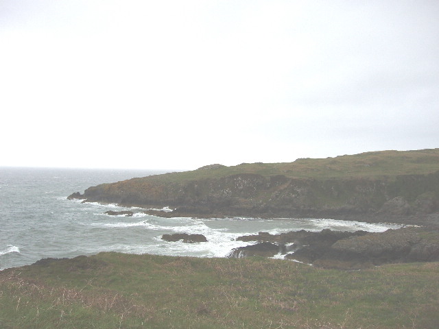
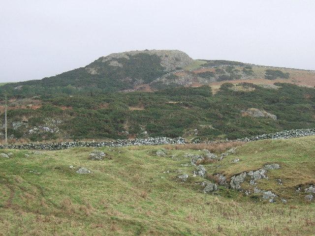
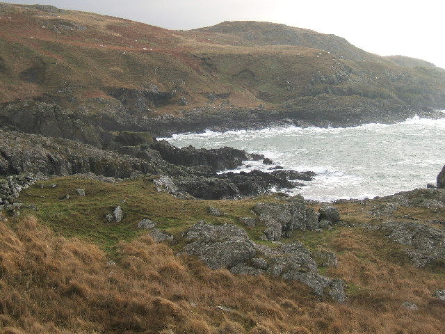
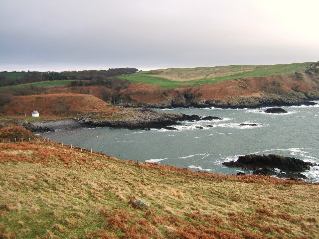
Dunskey Glen is a picturesque valley located in Wigtownshire, Scotland. Nestled between rolling hills and bordered by the Irish Sea, this stunning landscape offers visitors a tranquil and breathtaking experience. The glen stretches for approximately three miles, and its beauty is enhanced by the meandering Dusk Water river that flows through its heart.
The valley is characterized by its lush greenery and diverse wildlife. Dense woodlands filled with ancient trees provide a habitat for a variety of bird species, including buzzards, owls, and woodpeckers. The glen is also home to an array of mammals, such as red squirrels, deer, and badgers, making it a popular spot for nature enthusiasts and wildlife photographers.
One of the highlights of Dunskey Glen is its enchanting waterfall, which cascades down a rocky cliff face into a crystal-clear pool below. The sight and sound of the rushing water create a serene atmosphere, perfect for relaxation and contemplation. Visitors can follow the well-maintained footpaths that wind through the glen, offering stunning views of the surrounding landscape and an opportunity to explore its hidden gems.
In addition to its natural beauty, Dunskey Glen has a rich history. Ruins of an ancient abbey can be found within the valley, adding an air of mystery and intrigue. The abbey, believed to have been founded in the 12th century, served as a place of worship and refuge for monks. Today, visitors can wander through the remains, admiring the architectural details and imagining the lives of those who once inhabited this peaceful retreat.
Overall, Dunskey Glen in Wigtownshire is a captivating destination that combines natural splendor with historical significance. Whether seeking tranquility, wildlife encounters, or a glimpse into the past, this valley offers something for everyone.
If you have any feedback on the listing, please let us know in the comments section below.
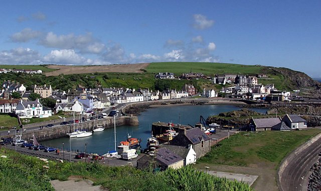
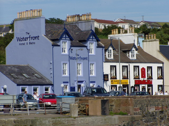
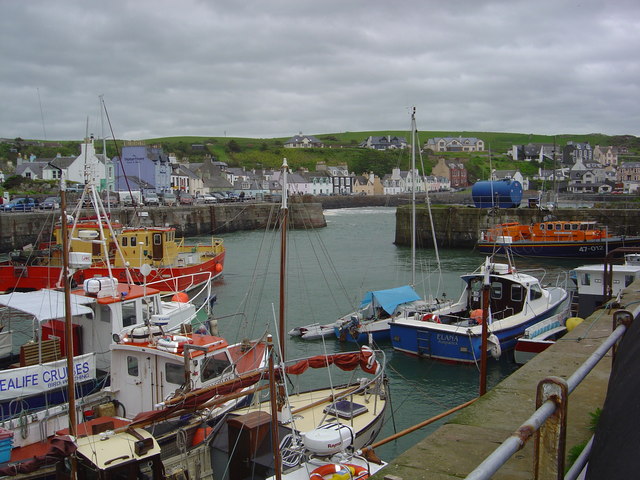
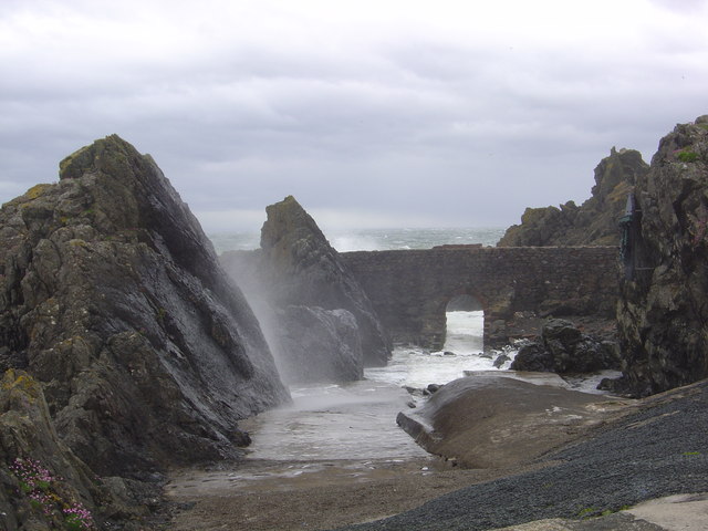
Dunskey Glen Images
Images are sourced within 2km of 54.855738/-5.1233998 or Grid Reference NW9955. Thanks to Geograph Open Source API. All images are credited.


Dunskey Glen is located at Grid Ref: NW9955 (Lat: 54.855738, Lng: -5.1233998)
Unitary Authority: Dumfries and Galloway
Police Authority: Dumfries and Galloway
What 3 Words
///striving.tidal.repayment. Near Stranraer, Dumfries & Galloway
Nearby Locations
Related Wikis

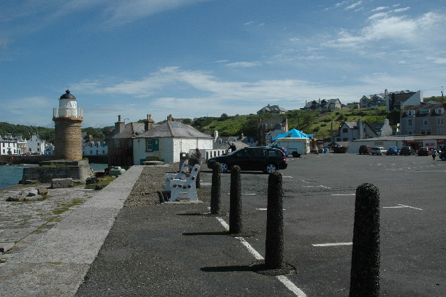
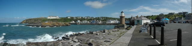
Portpatrick
Portpatrick is a village and civil parish in the historical county of Wigtownshire, Dumfries and Galloway, Scotland. It is located on the west coast of...

Portpatrick railway station
Portpatrick railway station was a railway station serving the village of Portpatrick, Dumfries & Galloway, Scotland. Opened in 1862 the station served...

MV Craigantlet
MV Craigantlet was a German-owned, Cyprus-registered container ship operated on time-charter by Cawoods Containers Ltd of Belfast. She ran aground on 26...

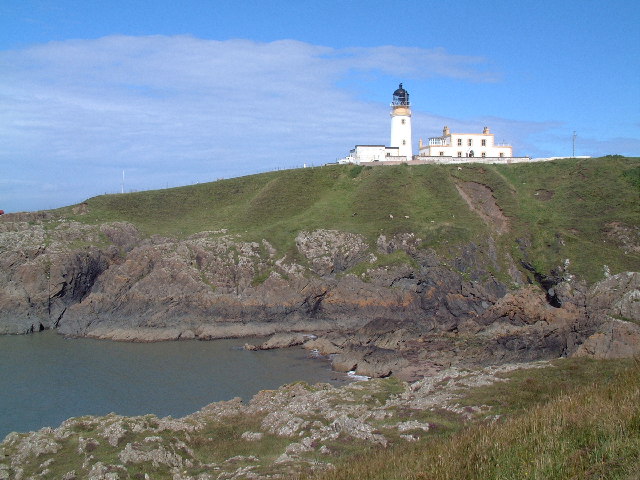
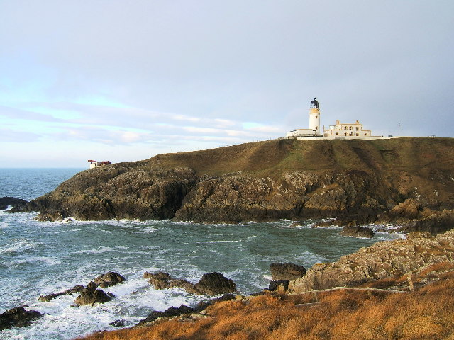
Killantringan Lighthouse
Killantringan Lighthouse is a lighthouse located near Portpatrick in Dumfries and Galloway, south-west Scotland. The light came into operation in 1900...
Nearby Amenities
Located within 500m of 54.855738,-5.1233998Have you been to Dunskey Glen?
Leave your review of Dunskey Glen below (or comments, questions and feedback).