Port Kale
Sea, Estuary, Creek in Wigtownshire
Scotland
Port Kale
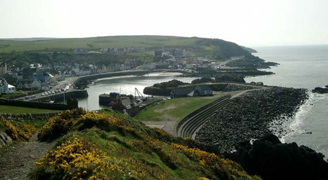
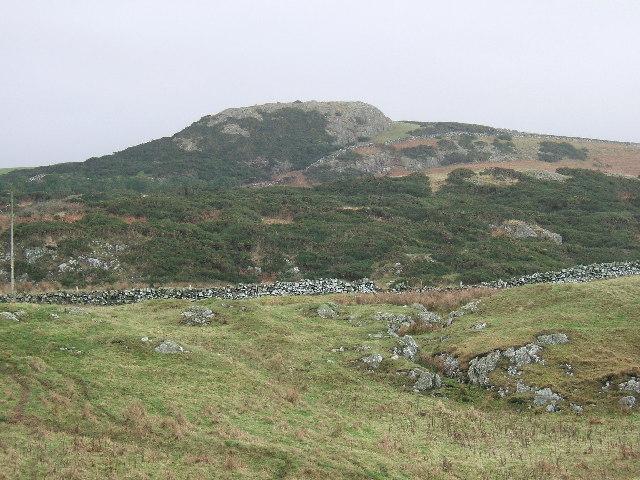
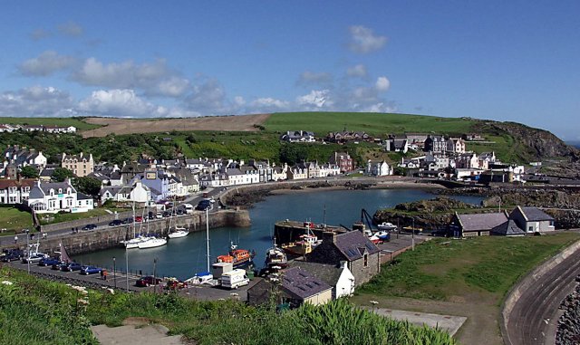
Port Kale is a picturesque coastal village nestled in the heart of Wigtownshire, located on the southwest coast of Scotland. It is positioned at the mouth of a small creek that flows into the sparkling waters of the Irish Sea. The village boasts a population of around 500 residents, making it a close-knit and friendly community.
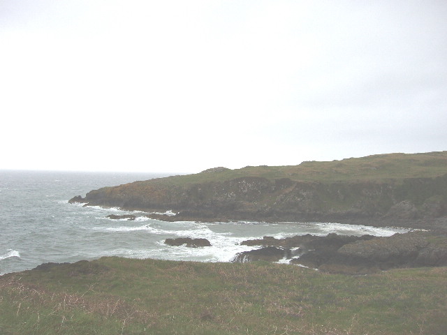
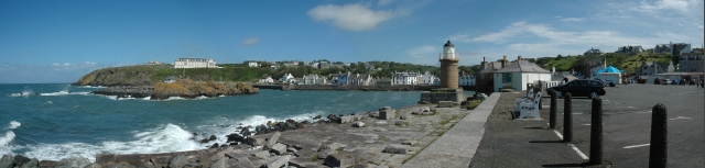
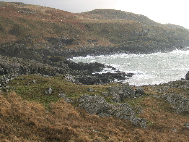
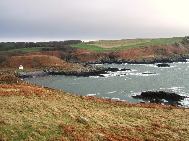
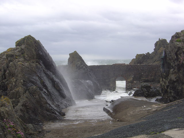
The sea that surrounds Port Kale offers breathtaking views, with its clear blue waters and gentle waves crashing against the rocky shore. The beach is a popular spot for locals and visitors alike, providing a serene setting for leisurely walks, picnics, and even water sports during the summer months.
The estuary that borders the village is a haven for wildlife, providing a vital habitat for numerous species. It teems with an abundance of sea birds, including gulls, cormorants, and oystercatchers, and is also home to a variety of fish, such as salmon and sea trout. The estuary's marshy banks are dotted with vibrant flora, enhancing the area's natural beauty.
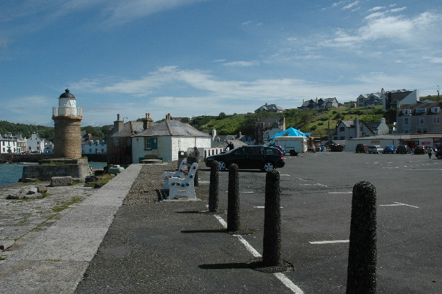
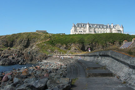
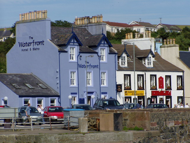
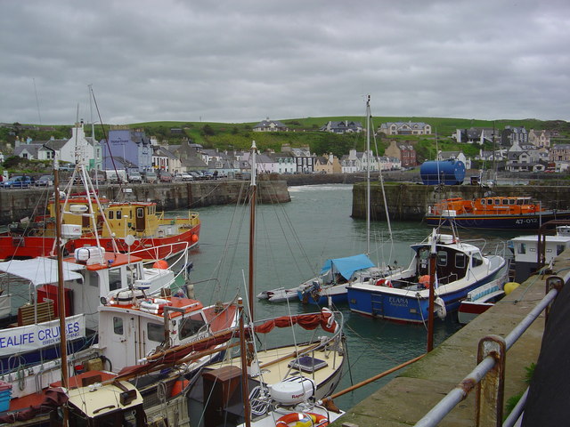
The village itself is a charming mix of traditional stone cottages and more modern houses, reflecting its rich history and evolving character. The quaint harbor is still active, with local fishermen bringing in their catch of the day, creating a bustling atmosphere on the waterfront.
Port Kale is a hidden gem that offers a tranquil escape from the hustle and bustle of city life. Its idyllic coastal location, complemented by the estuary and creek, makes it an ideal destination for nature lovers, outdoor enthusiasts, and those seeking a peaceful retreat by the sea.
If you have any feedback on the listing, please let us know in the comments section below.
Port Kale Images
Images are sourced within 2km of 54.851164/-5.1323644 or Grid Reference NW9955. Thanks to Geograph Open Source API. All images are credited.


Port Kale is located at Grid Ref: NW9955 (Lat: 54.851164, Lng: -5.1323644)
Unitary Authority: Dumfries and Galloway
Police Authority: Dumfries and Galloway
What 3 Words
///meatballs.entitles.initial. Near Stranraer, Dumfries & Galloway
Nearby Locations
Related Wikis

Portpatrick
Portpatrick is a village and civil parish in the historical county of Wigtownshire, Dumfries and Galloway, Scotland. It is located on the west coast of...

MV Craigantlet
MV Craigantlet was a German-owned, Cyprus-registered container ship operated on time-charter by Cawoods Containers Ltd of Belfast. She ran aground on 26...

Portpatrick railway station
Portpatrick railway station was a railway station serving the village of Portpatrick, Dumfries & Galloway, Scotland. Opened in 1862 the station served...

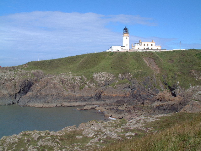
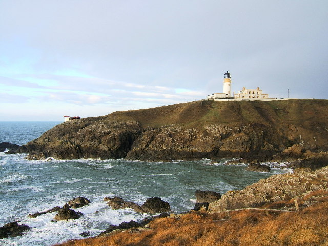
Killantringan Lighthouse
Killantringan Lighthouse is a lighthouse located near Portpatrick in Dumfries and Galloway, south-west Scotland. The light came into operation in 1900...
Nearby Amenities
Located within 500m of 54.851164,-5.1323644Have you been to Port Kale?
Leave your review of Port Kale below (or comments, questions and feedback).