Punch Bowl Wood
Wood, Forest in Wigtownshire
Scotland
Punch Bowl Wood
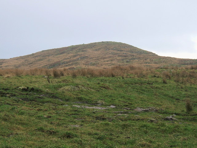
Punch Bowl Wood is a picturesque forest located in Wigtownshire, Scotland. Situated at the edge of the Galloway Forest Park, it covers an area of approximately 100 hectares. The forest is known for its diverse range of flora and fauna, making it a popular destination among nature enthusiasts and wildlife lovers.
The wood takes its name from the natural amphitheater-like shape of the valley, resembling a punch bowl. It is characterized by its dense canopy of trees, including oak, birch, beech, and pine, creating a serene and sheltered atmosphere. The forest floor is covered with a rich carpet of mosses, ferns, and wildflowers, providing a vibrant and colorful display throughout the year.
Punch Bowl Wood is home to a variety of wildlife species, making it an important habitat for conservation. Visitors can expect to spot red deer, roe deer, badgers, foxes, and a wide range of bird species, including owls, woodpeckers, and various songbirds. The forest also supports a diverse insect population, with butterflies and dragonflies adding to the natural beauty of the area.
The wood offers a network of well-maintained trails and pathways, allowing visitors to explore its enchanting surroundings. There are picnic areas and benches strategically placed, providing opportunities to relax and enjoy the peaceful ambiance. The forest is also a fantastic spot for photography, with its stunning vistas and natural beauty.
Punch Bowl Wood, with its tranquil setting and abundant wildlife, offers a delightful escape into nature for visitors of all ages. Whether for a leisurely stroll, birdwatching, or simply enjoying the serenity of the woodland, this forest is a must-visit destination in Wigtownshire.
If you have any feedback on the listing, please let us know in the comments section below.
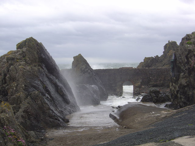
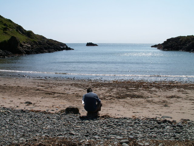
Punch Bowl Wood Images
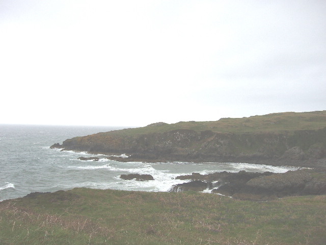
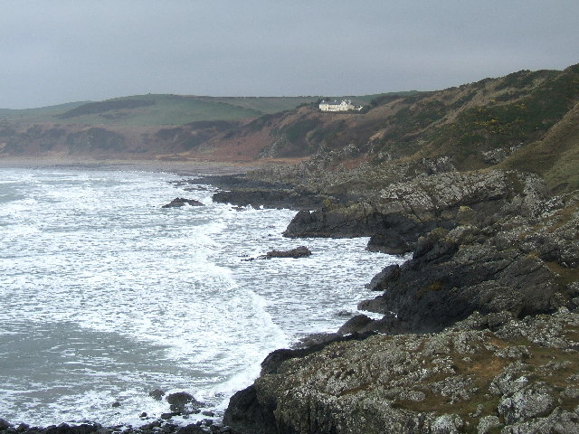
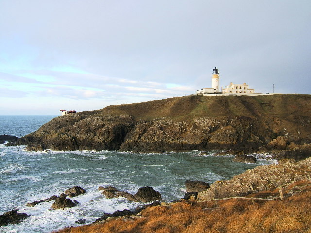
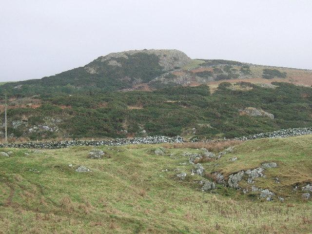
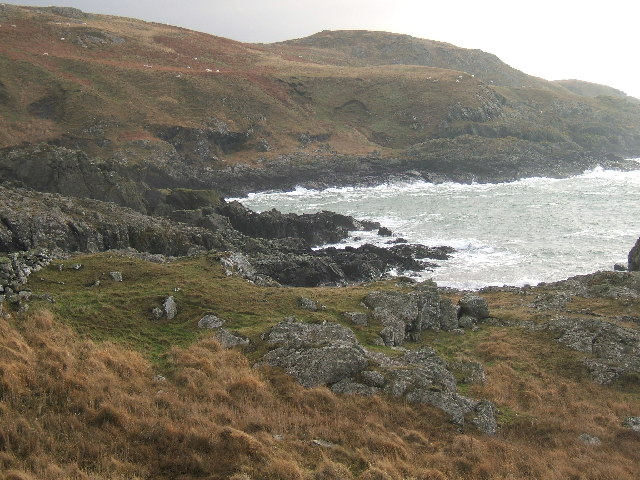
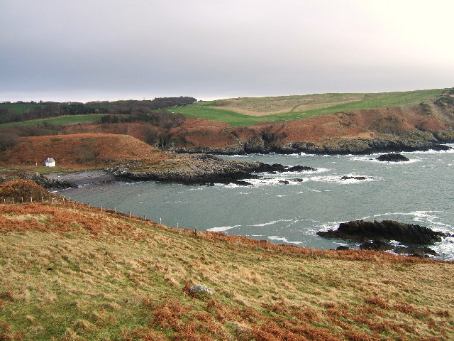
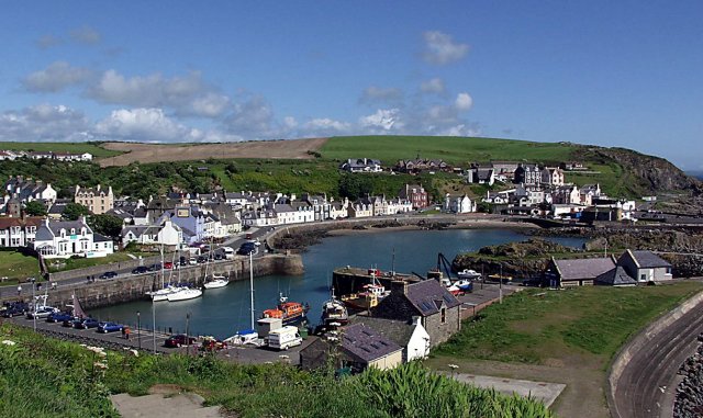
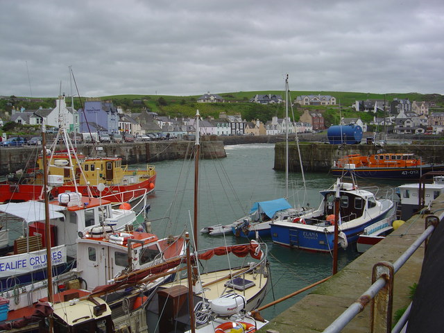
Images are sourced within 2km of 54.861184/-5.1220911 or Grid Reference NW9956. Thanks to Geograph Open Source API. All images are credited.


Punch Bowl Wood is located at Grid Ref: NW9956 (Lat: 54.861184, Lng: -5.1220911)
Unitary Authority: Dumfries and Galloway
Police Authority: Dumfries and Galloway
What 3 Words
///aimed.sharpens.landscape. Near Stranraer, Dumfries & Galloway
Nearby Locations
Related Wikis

MV Craigantlet
MV Craigantlet was a German-owned, Cyprus-registered container ship operated on time-charter by Cawoods Containers Ltd of Belfast. She ran aground on 26...

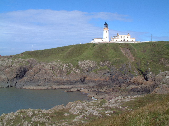
Killantringan Lighthouse
Killantringan Lighthouse is a lighthouse located near Portpatrick in Dumfries and Galloway, south-west Scotland. The light came into operation in 1900...

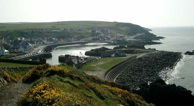
Portpatrick
Portpatrick is a village and civil parish in the historical county of Wigtownshire, Dumfries and Galloway, Scotland. It is located on the west coast of...

Portpatrick railway station
Portpatrick railway station was a railway station serving the village of Portpatrick, Dumfries & Galloway, Scotland. Opened in 1862 the station served...
Nearby Amenities
Located within 500m of 54.861184,-5.1220911Have you been to Punch Bowl Wood?
Leave your review of Punch Bowl Wood below (or comments, questions and feedback).