Clashnarroch Wood
Wood, Forest in Wigtownshire
Scotland
Clashnarroch Wood
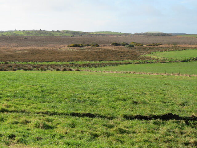
Clashnarroch Wood is a picturesque forest located in Wigtownshire, a region in southwestern Scotland. Spanning over a vast area, this woodland boasts a rich history and an abundance of natural beauty. The wood is nestled near the village of Kirkinner and is easily accessible to visitors.
Covering a diverse range of terrain, Clashnarroch Wood is characterized by its enchanting mix of broadleaf and coniferous trees. Towering oaks, beeches, and birches dominate the landscape, providing a lush canopy that shelters a variety of wildlife. The forest floor is adorned with a carpet of ferns, mosses, and wildflowers, creating a vibrant and tranquil atmosphere.
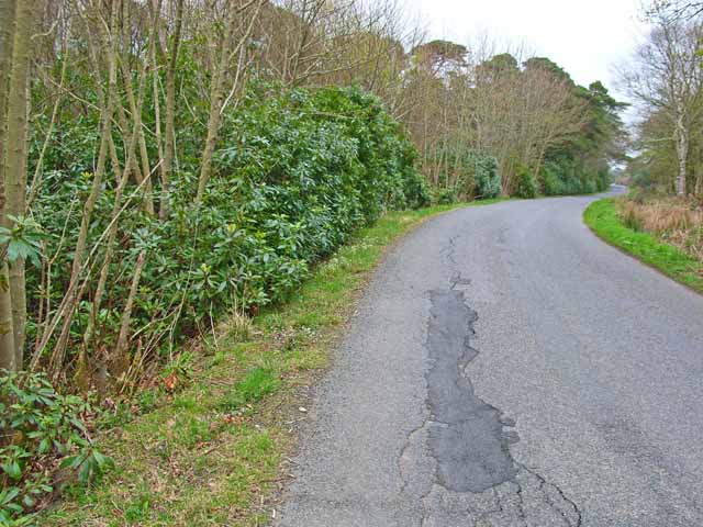
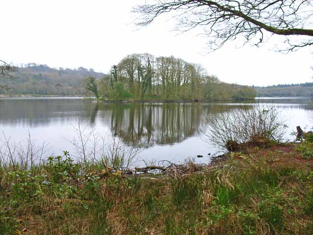
The woodland is crisscrossed with several well-maintained footpaths, allowing visitors to explore its many wonders. These paths lead to hidden glens, cascading waterfalls, and serene ponds, providing plenty of opportunities for nature enthusiasts to immerse themselves in the peaceful surroundings. Birdwatchers will also be delighted by the wood's avian population, with species such as woodpeckers, owls, and various songbirds regularly spotted.
Steeped in history, Clashnarroch Wood is believed to have been part of the ancient Caledonian Forest that once covered much of Scotland. Remnants of this ancient woodland can still be found within its borders, adding to its cultural and ecological significance. The wood has also played a role in local folklore, with tales of mythical creatures and hidden treasures passed down through generations.
Whether it's a leisurely stroll, a birdwatching adventure, or a journey into Scotland's past, Clashnarroch Wood offers a memorable experience for all who visit. Its natural beauty, diverse flora and fauna, and intriguing history make it a must-see destination for nature lovers and history buffs alike.
If you have any feedback on the listing, please let us know in the comments section below.
Clashnarroch Wood Images
Images are sourced within 2km of 54.916788/-5.1271476 or Grid Reference NW9962. Thanks to Geograph Open Source API. All images are credited.


Clashnarroch Wood is located at Grid Ref: NW9962 (Lat: 54.916788, Lng: -5.1271476)
Unitary Authority: Dumfries and Galloway
Police Authority: Dumfries and Galloway
What 3 Words
///pickup.behind.found. Near Stranraer, Dumfries & Galloway
Nearby Locations
Related Wikis

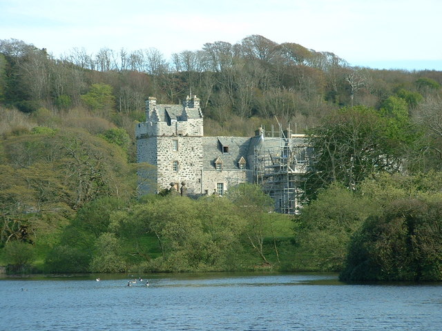
Galdenoch Castle
Galdenoch Castle is a tower house near the Scottish village of Leswalt in the Council Area Dumfries and Galloway . The ruin is listed as a Scheduled Monument...

Leswalt
Leswalt (Scottish Gaelic: Lios Uillt) is a village and civil parish in Dumfries and Galloway, south-west Scotland. It lies between Portpatrick and Stranraer...
Ervie
Ervie is a small village in Dumfries and Galloway, Scotland, in the Rhins of Galloway, just outside Stranraer.

Killantringan Lighthouse
Killantringan Lighthouse is a lighthouse located near Portpatrick in Dumfries and Galloway, south-west Scotland. The light came into operation in 1900...
Nearby Amenities
Located within 500m of 54.916788,-5.1271476Have you been to Clashnarroch Wood?
Leave your review of Clashnarroch Wood below (or comments, questions and feedback).