Auchnotteroch Plantation
Wood, Forest in Wigtownshire
Scotland
Auchnotteroch Plantation
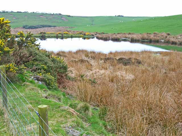
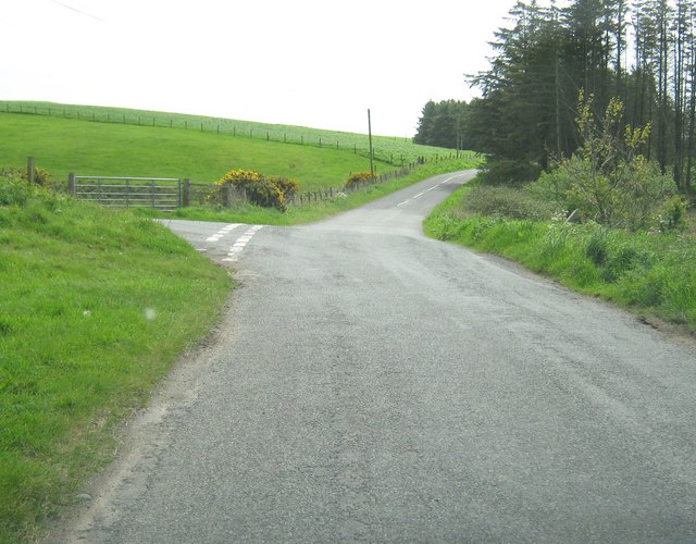
Auchnotteroch Plantation is a picturesque woodland located in Wigtownshire, Scotland. Sprawling over an area of approximately 100 hectares, it is nestled in the heart of the region, offering a tranquil escape for nature lovers and outdoor enthusiasts alike. The plantation is situated on gently undulating terrain, boasting a diverse landscape made up of ancient oaks, conifers, and mixed broadleaf trees.
The woodland of Auchnotteroch Plantation is known for its rich biodiversity and is home to a variety of flora and fauna. The dense canopy created by the towering trees provides a habitat for numerous bird species, including woodpeckers, owls, and thrushes. Additionally, the diverse undergrowth supports a range of smaller mammals such as squirrels and rabbits.
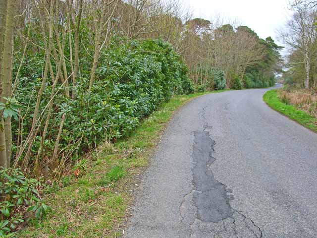
Visitors to Auchnotteroch Plantation can enjoy a network of well-maintained footpaths that wind through the woodland, offering stunning views and opportunities for exploration. The plantation is a popular destination for walkers, joggers, and cyclists who appreciate the serene beauty of nature.
In addition to its recreational value, Auchnotteroch Plantation plays an important role in carbon sequestration and acts as a natural flood prevention measure. The carefully managed woodland not only enhances the local ecosystem but also contributes to the overall environmental health of the area.
Auchnotteroch Plantation is a true gem of Wigtownshire, offering a peaceful and rejuvenating experience for all who venture within its borders.
If you have any feedback on the listing, please let us know in the comments section below.
Auchnotteroch Plantation Images
Images are sourced within 2km of 54.904694/-5.1272234 or Grid Reference NW9961. Thanks to Geograph Open Source API. All images are credited.


Auchnotteroch Plantation is located at Grid Ref: NW9961 (Lat: 54.904694, Lng: -5.1272234)
Unitary Authority: Dumfries and Galloway
Police Authority: Dumfries and Galloway
What 3 Words
///fronted.decently.exclusive. Near Stranraer, Dumfries & Galloway
Nearby Locations
Related Wikis

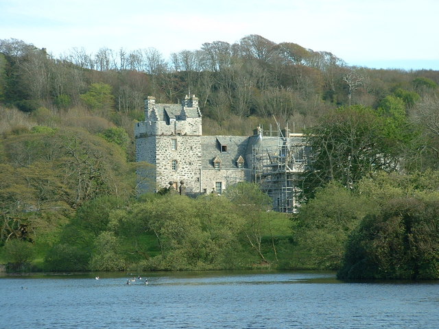
Galdenoch Castle
Galdenoch Castle is a tower house near the Scottish village of Leswalt in the Council Area Dumfries and Galloway . The ruin is listed as a Scheduled Monument...

Leswalt
Leswalt (Scottish Gaelic: Lios Uillt) is a village and civil parish in Dumfries and Galloway, south-west Scotland. It lies between Portpatrick and Stranraer...

Killantringan Lighthouse
Killantringan Lighthouse is a lighthouse located near Portpatrick in Dumfries and Galloway, south-west Scotland. The light came into operation in 1900...
MV Craigantlet
MV Craigantlet was a German-owned, Cyprus-registered container ship operated on time-charter by Cawoods Containers Ltd of Belfast. She ran aground on 26...
Nearby Amenities
Located within 500m of 54.904694,-5.1272234Have you been to Auchnotteroch Plantation?
Leave your review of Auchnotteroch Plantation below (or comments, questions and feedback).