Garden Covert
Wood, Forest in Cardiganshire
Wales
Garden Covert
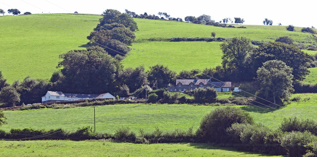
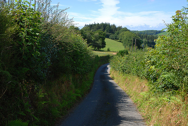
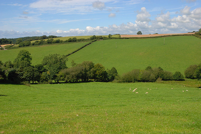
Garden Covert is a picturesque woodland located in the heart of Cardiganshire, a county in Wales. Spanning over a vast area, this enchanting forest is a haven for nature lovers and those seeking a tranquil escape from the hustle and bustle of everyday life.
The woodland is characterized by its dense and diverse vegetation, consisting of towering trees, vibrant wildflowers, and an array of ferns and mosses that carpet the forest floor. The towering canopy provides a cool respite during hot summer days and casts a magical glow during the autumn months when the leaves change color.
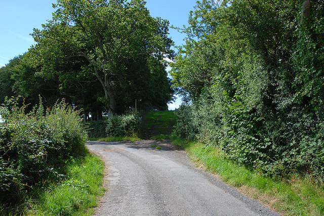
Garden Covert is home to a rich and varied wildlife population, making it a popular destination for birdwatchers and nature enthusiasts. Visitors may catch a glimpse of rare birds such as the red kite or hear the melodic songs of woodland warblers. The forest is also known to harbor elusive mammals like badgers, foxes, and deer, adding to the allure of the area.
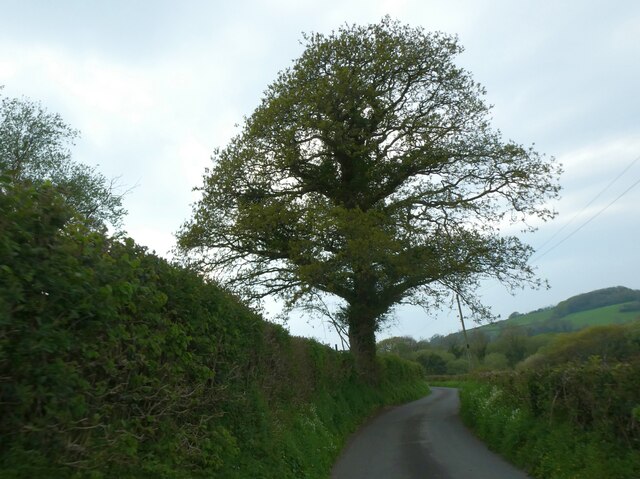
Tranquil pathways wind their way through the woodland, allowing visitors to explore the beauty of Garden Covert at their own pace. The trails meander alongside babbling brooks and small waterfalls, enhancing the sense of serenity and offering the perfect spot for a quiet picnic or a moment of reflection.
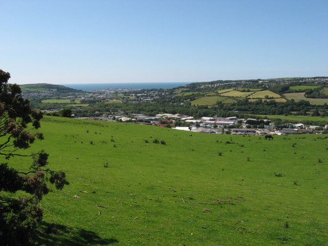
Garden Covert is a true sanctuary of nature, offering a peaceful retreat for visitors to immerse themselves in the beauty of the Welsh countryside. Whether it's a leisurely stroll, birdwatching, or simply enjoying the sights and sounds of the natural world, this woodland paradise is sure to captivate and rejuvenate all who venture within its borders.
If you have any feedback on the listing, please let us know in the comments section below.
Garden Covert Images
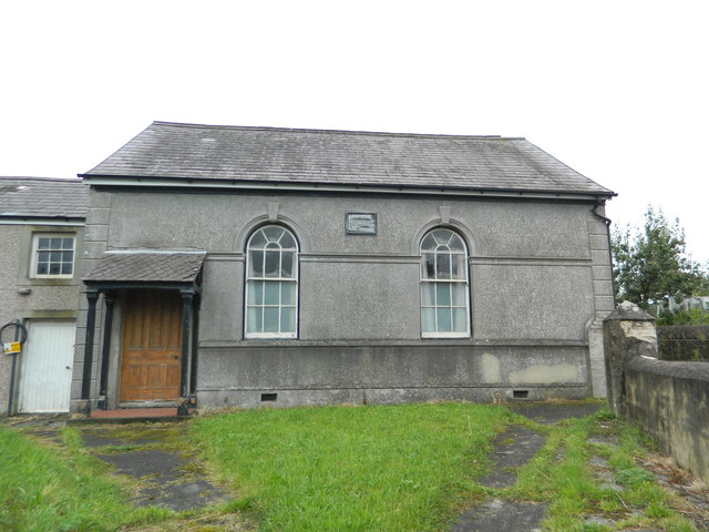
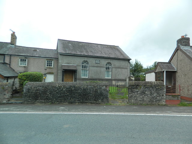
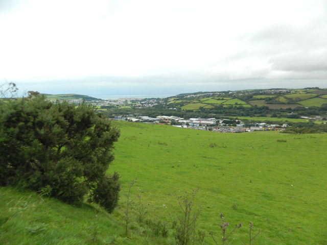
Images are sourced within 2km of 52.387963/-4.0241894 or Grid Reference SN6278. Thanks to Geograph Open Source API. All images are credited.

Garden Covert is located at Grid Ref: SN6278 (Lat: 52.387963, Lng: -4.0241894)
Unitary Authority: Ceredigion
Police Authority: Dyfed Powys
What 3 Words
///finalists.coached.ready. Near Llanilar, Ceredigion
Nearby Locations
Related Wikis

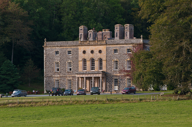
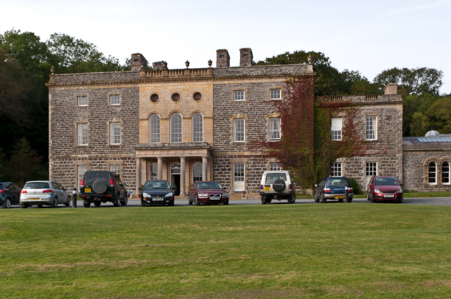
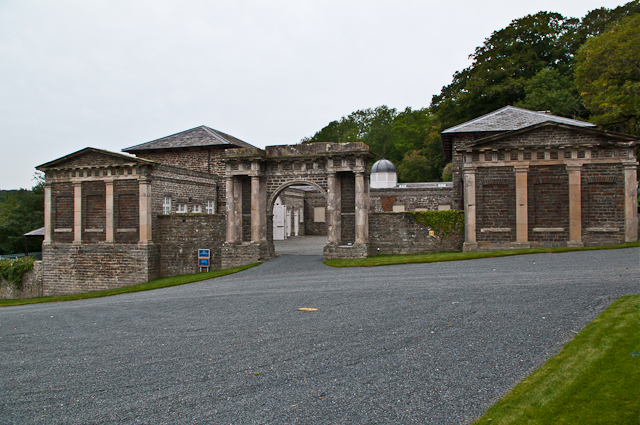
Nanteos Mansion
Nanteos (Welsh: Plas Nanteos, Nanteos Mansion) is an 18th-century former country house in Llanbadarn-y-Creuddyn, near Aberystwyth, Ceredigion, Wales. A...
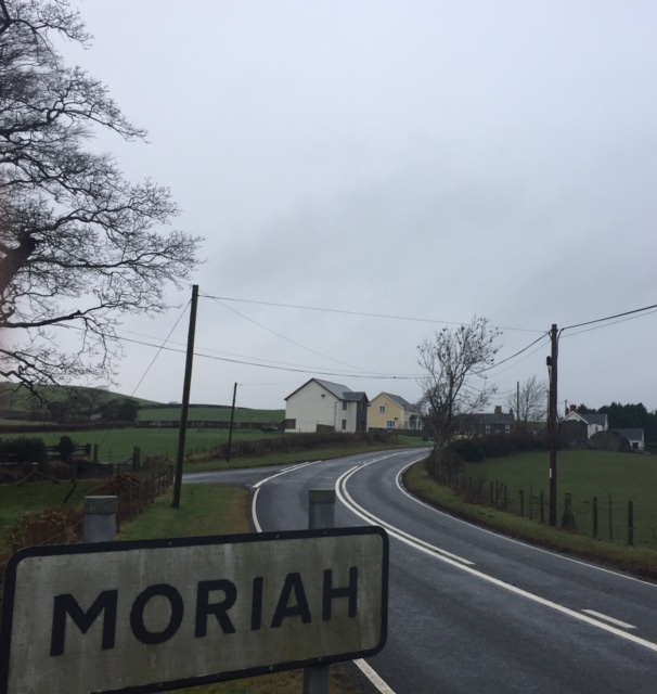
Moriah, Ceredigion
Moriah is a hamlet in the community of Llanfarian, Ceredigion, Wales, which is 73 miles (117.4 km) from Cardiff and 177.1 miles (285 km) from London. Moriah...

Y Gors, Ceredigion
Y Gors is a hamlet in the community of Trawsgoed, Ceredigion, Wales, which is 71.5 miles (115.1 km) from Cardiff and 176.1 miles (283.4 km) from London...

Pont Paith
Pont Paith is a hamlet in the community of Llanfarian, Ceredigion, Wales, 73 miles (117.5 km) from Cardiff and 177.9 miles (286.2 km) from London. Pont...
Glanyrafon, Ceredigion
Glanyrafon or Glanrafon is a small village and industrial estate in the community of Llanfarian, Ceredigion, Wales. It lies on the south bank of the Afon...

Glanyrafon railway station
Glanyrafon railway station (formerly Glanrafon) is a railway station serving Glanyrafon in Ceredigion in Mid-Wales. It is a request stop on the preserved...
Rachel's Organic
Rachel's is an organic dairy products company based in Aberystwyth, Wales. Founded by local farmers but now a subsidiary of French company Lactalis, it...

Capel Bangor railway station
Capel Bangor railway station is a railway station serving Capel Bangor in Ceredigion in Mid-Wales. It is an intermediate station on the preserved Vale...
Nearby Amenities
Located within 500m of 52.387963,-4.0241894Have you been to Garden Covert?
Leave your review of Garden Covert below (or comments, questions and feedback).