Coed Brynabon-uchaf

Wood, Forest in Carmarthenshire

Wales

Coed Brynabon-uchaf

Ordnance Survey 1GL Bolt This OS Bolt can be found on the west face of St Sawyl's Church. It marks a point 121.132m above mean sea level.
Ordnance Survey 1GL Bolt Credit: Adrian Dust

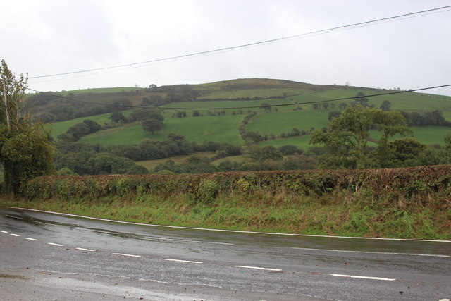
Coed Brynabon-uchaf is a picturesque woodland located in the county of Carmarthenshire, Wales. Covering an area of approximately 200 acres, it is a beautiful example of a well-preserved forest in the region. The woodland is situated on the slopes of a hill, providing visitors with stunning panoramic views of the surrounding countryside.

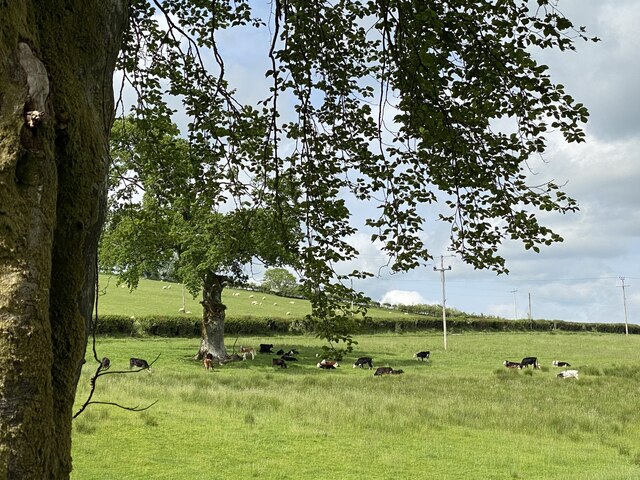
The forest is home to a diverse range of tree species, including oak, beech, and birch, which create a lush and vibrant canopy. The thick undergrowth is filled with a variety of flora and fauna, making it a haven for wildlife enthusiasts and nature lovers alike. Visitors can spot various bird species, small mammals, and even rare butterflies that thrive in this natural habitat.

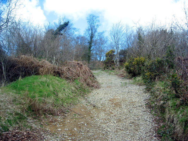
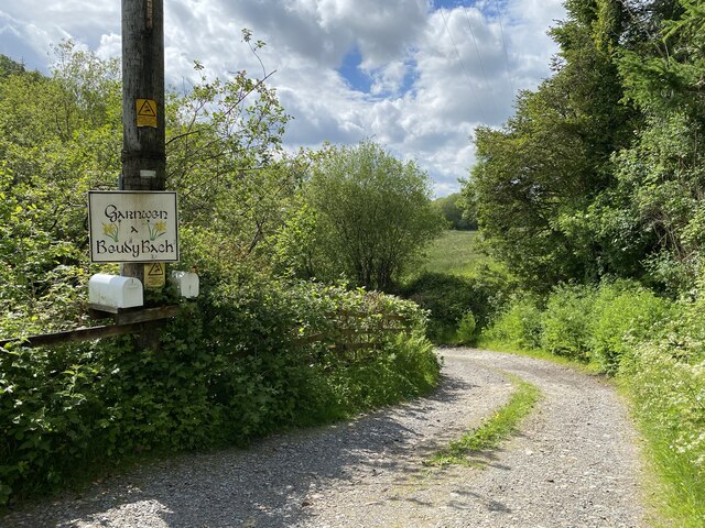
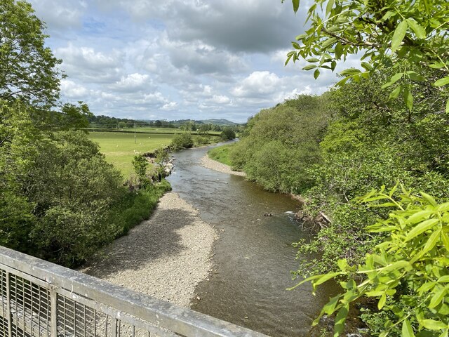
Coed Brynabon-uchaf offers a network of well-maintained trails that allow visitors to explore the woodland at their own pace. These trails provide access to hidden gems within the forest, such as a tranquil stream and a small waterfall. The peaceful atmosphere and the soothing sound of nature make it an ideal location for those seeking solitude and relaxation.

The woodland is a popular destination for outdoor activities, including hiking, bird-watching, and photography. With its picturesque landscapes and rich biodiversity, Coed Brynabon-uchaf offers endless opportunities to capture stunning images of the natural world.

Overall, Coed Brynabon-uchaf is a hidden gem in Carmarthenshire, offering visitors a chance to immerse themselves in the beauty of nature. Whether it's a leisurely stroll or an adventurous hike, this woodland provides a truly enchanting experience for all who visit.

If you have any feedback on the listing, please let us know in the comments section below.

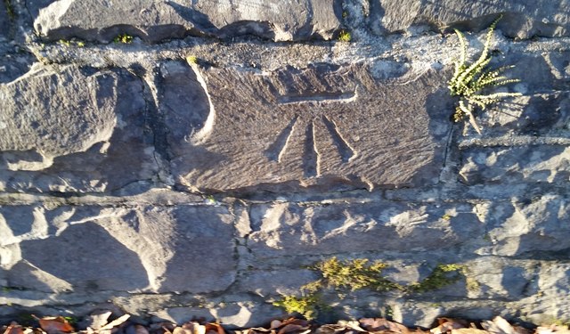
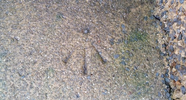
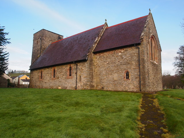
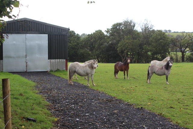
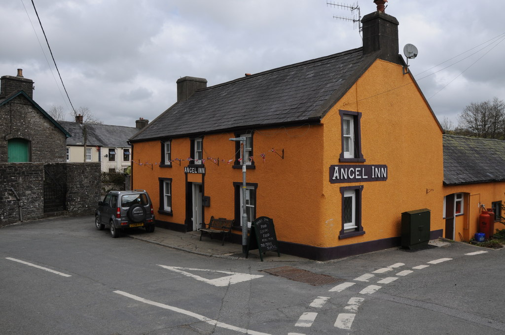
Coed Brynabon-uchaf Images

Images are sourced within 2km of 51.995408/-4.0058613 or Grid Reference SN6234. Thanks to Geograph Open Source API. All images are credited.

Ordnance Survey 1GL Bolt This OS Bolt can be found on the west face of St Sawyl's Church. It marks a point 121.132m above mean sea level.
Ordnance Survey 1GL Bolt
This OS Bolt can be found on the west face of St Sawyl's Church. It marks a point 121.132m above mean sea level.
Ordnance Survey Cut Mark This OS cut mark can be found on the SE parapet of the bridge over the Afon Marlais. It marks a point 119.555m above mean sea level.
Ordnance Survey Cut Mark
This OS cut mark can be found on the SE parapet of the bridge over the Afon Marlais. It marks a point 119.555m above mean sea level.
Ordnance Survey Cut Mark This OS cut mark (top only) can be found on the east parapet of Pont Melinddwr. It marks a point 118.757m above mean sea level.
Ordnance Survey Cut Mark
This OS cut mark (top only) can be found on the east parapet of Pont Melinddwr. It marks a point 118.757m above mean sea level.
Ordnance Survey Rivet This OS rivet can be found on the milk stand at Penlan Farm. It marks a point 154.622m above mean sea level.
Ordnance Survey Rivet
This OS rivet can be found on the milk stand at Penlan Farm. It marks a point 154.622m above mean sea level.
Ordnance Survey Rivet This OS rivet can be found on the NE parapet of Pont Pwll Du. It marks a point 103.245m above mean sea level.
Ordnance Survey Rivet
This OS rivet can be found on the NE parapet of Pont Pwll Du. It marks a point 103.245m above mean sea level.
Ordnance Survey Cut Mark This OS cut mark can be found on the west parapet of the bridge. It marks a point 95.866m above mean sea level.
Ordnance Survey Cut Mark
This OS cut mark can be found on the west parapet of the bridge. It marks a point 95.866m above mean sea level.
Ordnance Survey Cut Mark This OS cut mark can be found on the milk stand at Cilyllynfawr Farm. It marks a point 134.623m above mean sea level.
Ordnance Survey Cut Mark
This OS cut mark can be found on the milk stand at Cilyllynfawr Farm. It marks a point 134.623m above mean sea level.
Ordnance Survey Rivet This OS rivet can be found on the Milk Stand at Cwm-gwlaw-fawr Farm. It marks a point 180.838m above mean sea level.
Ordnance Survey Rivet
This OS rivet can be found on the Milk Stand at Cwm-gwlaw-fawr Farm. It marks a point 180.838m above mean sea level.
St Sawyl's Church, Llansawel Thought to be constructed in the fourteenth century, with the tower added in about 1500. Extensively restored in the nineteenth century.
St Sawyl's Church, Llansawel
Thought to be constructed in the fourteenth century, with the tower added in about 1500. Extensively restored in the nineteenth century.
Fields north of B4337, Llansawel Fields northwest of Llansawel on a damp day; the near field may serve as a football field.
Fields north of B4337, Llansawel
Fields northwest of Llansawel on a damp day; the near field may serve as a football field.
Fields south of B4337 & B4310 Fields west of Llansawel, with B4337 in foreground.
Fields south of B4337 & B4310
Fields west of Llansawel, with B4337 in foreground.
Horses in field at Bron-Yr-Haul Horses in field next to house; the metal building is not shown on current OS map.
Horses in field at Bron-Yr-Haul
Horses in field next to house; the metal building is not shown on current OS map.
Llwybr Cyhoeddus i Lansawel / Path to Llansawel Llwybr cyhoeddus yn dringo'r tyle mas o Gwm Cothi ac yn mynd i gyfeiriad pentre Llansawel.

A public footpath climbing out of the Cothi Valley and heading in the direction of Llansawel (trans. church of St Sawel).
Llwybr Cyhoeddus i Lansawel / Path to Llansawel
Llwybr cyhoeddus yn dringo'r tyle mas o Gwm Cothi ac yn mynd i gyfeiriad pentre Llansawel. A public footpath climbing out of the Cothi Valley and heading in the direction of Llansawel (trans. church of St Sawel).
Llwybr yn gadael y cilffordd / Path exiting the byway Llwybr cyhoeddus ar y chwith yn gadael cilffordd yng nghwm Cothi. Yn y pellter gellir gweld talen bwthyn o'r enw Cwm.

A public footpath on the left exiting a byway in the Cothi valley. In the distance the gable end of a cottage known as Cwm can be seen.
Llwybr yn gadael y cilffordd / Path exiting the byway
Llwybr cyhoeddus ar y chwith yn gadael cilffordd yng nghwm Cothi. Yn y pellter gellir gweld talen bwthyn o'r enw Cwm. A public footpath on the left exiting a byway in the Cothi valley. In the distance the gable end of a cottage known as Cwm can be seen.
Stand laeth Rhydyglyn / Rhydyglyn milk stand Hen stand laeth Ffarm Rhydyglyn ar ochr y B4310.

Rhydyglyn Farm (trans. ford of the valley) old milk stand on the side of the B431O.
Stand laeth Rhydyglyn / Rhydyglyn milk stand
Hen stand laeth Ffarm Rhydyglyn ar ochr y B4310. Rhydyglyn Farm (trans. ford of the valley) old milk stand on the side of the B431O.
Garnwen a Beudy Bach
Cattle grazing
Cattle grazing
Afon Cothi
Afon Cothi
Show me another place!

Coed Brynabon-uchaf is located at Grid Ref: SN6234 (Lat: 51.995408, Lng: -4.0058613)

Unitary Authority: Carmarthenshire

Police Authority: Dyfed Powys

What 3 Words

///chainsaw.highbrow.airbase. Near Llansawel, Carmarthenshire

Related Wikis

Edwinsford

Edwinsford is a small hamlet situated about the historic Edwinsford Estate and fishery on the river Cothi, a tributary of the River Tywi, in Carmarthenshire...

Llansawel

Llansawel is a village and community in Carmarthenshire, Wales, about ten miles north of Llandeilo. It covers an area of 4,079 hectares (15.75 sq mi)....

Talley Lakes

Upper Talley Lake (Welsh: Llyn Talyllychau Uchaf) and Lower Talley Lake (Welsh: Llyn Talyllychau Isaf) are two small lakes immediately north of the village...

Llansawel transmitting station

The Llansawel television relay station is sited on high ground to the north of the village of Llansawel in Carmarthenshire, South Wales. It was originally...

Have you been to Coed Brynabon-uchaf?

Leave your review of Coed Brynabon-uchaf below (or comments, questions and feedback).