Coed Brynabon-isaf

Wood, Forest in Carmarthenshire

Wales

Coed Brynabon-isaf

Capel Bethel Chapel, Llansawel Bethel, Capel y Methodistiaid wrth ochr yr heol yn Llansawel.

Bethel Methodist Chapel alongside the road in Llansawel.
Capel Bethel Chapel, Llansawel Credit: Alan Richards

Coed Brynabon-isaf is a woodland area located in Carmarthenshire, Wales. Spread over a vast expanse, it is known for its dense forest and natural beauty. The wood is situated near the village of Brynamman and is a popular destination for nature lovers and hikers.

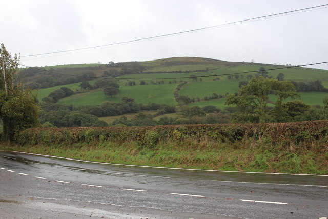
Covering an area of approximately 200 acres, Coed Brynabon-isaf is home to a diverse range of flora and fauna. The woodland is predominantly composed of native tree species such as oak, beech, and birch, which create a picturesque and tranquil environment. The forest floor is adorned with a variety of wildflowers, adding vibrant colors to the landscape.

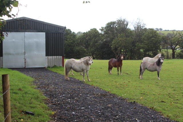
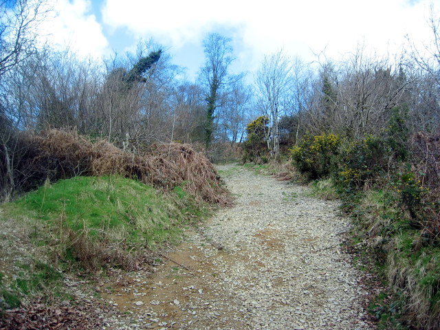
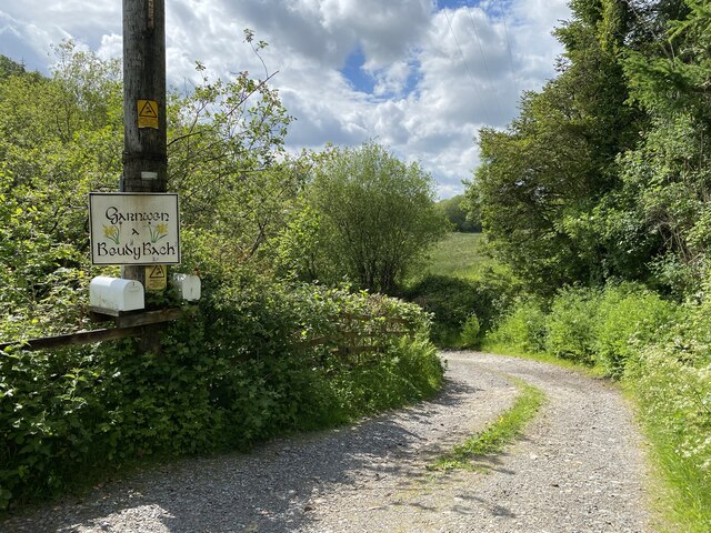
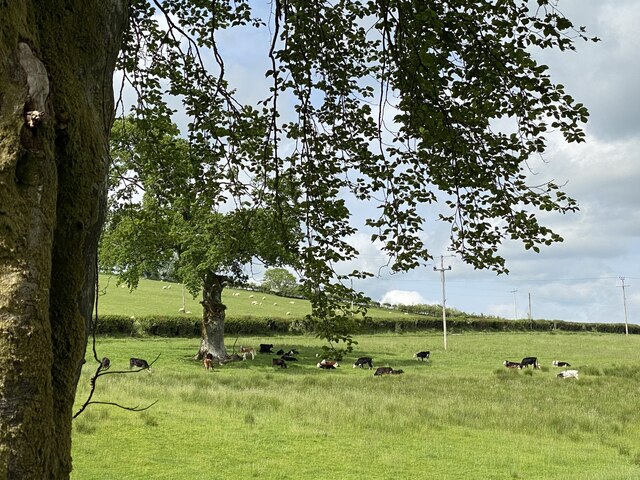
The woodland is crisscrossed by several walking trails, which allow visitors to explore the area at their own pace. These trails range from easy strolls to more challenging hikes, catering to individuals of all fitness levels. Along the way, visitors can enjoy breathtaking views of the surrounding countryside and catch glimpses of wildlife, including birds, squirrels, and occasionally deer.

Coed Brynabon-isaf is also known for its historical significance. The woodland is dotted with remnants of ancient settlements, including Iron Age hillforts and burial sites. These archaeological features offer insights into the rich cultural heritage of the area.

Overall, Coed Brynabon-isaf is a haven for nature enthusiasts, offering a peaceful retreat in the heart of Carmarthenshire. Its diverse ecosystem, picturesque landscapes, and historical charm make it a must-visit destination for both locals and tourists alike.

If you have any feedback on the listing, please let us know in the comments section below.

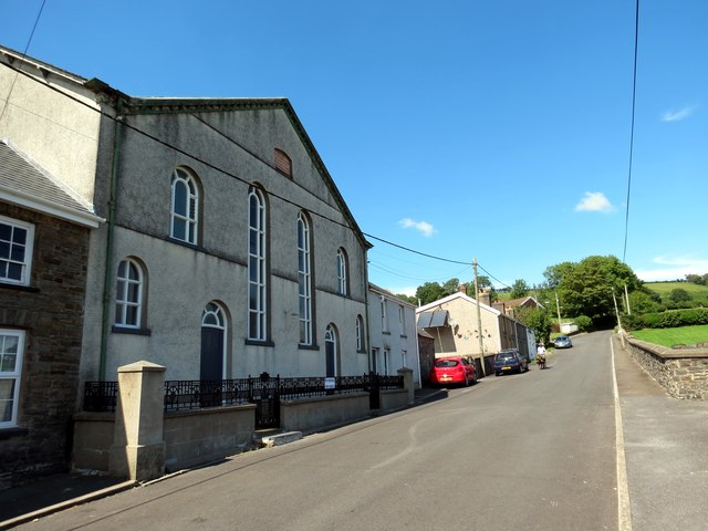
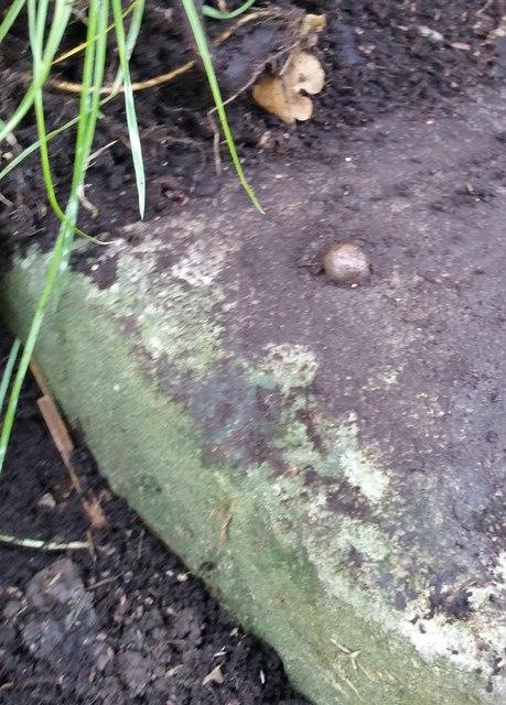
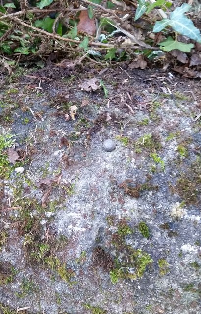
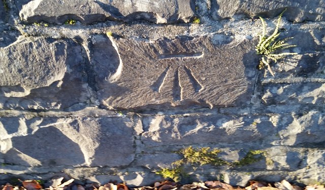
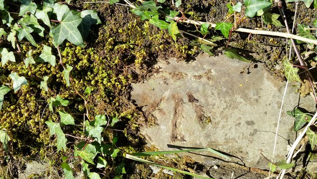
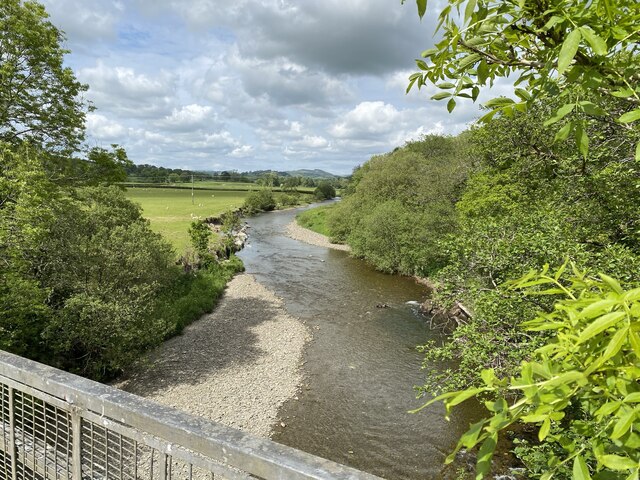
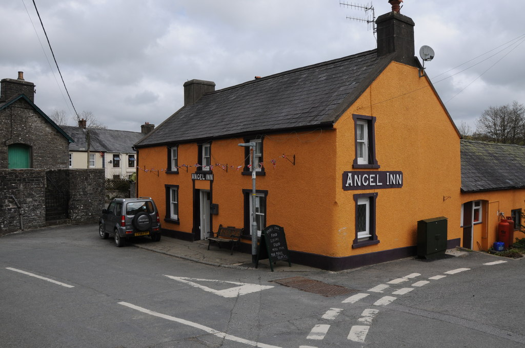
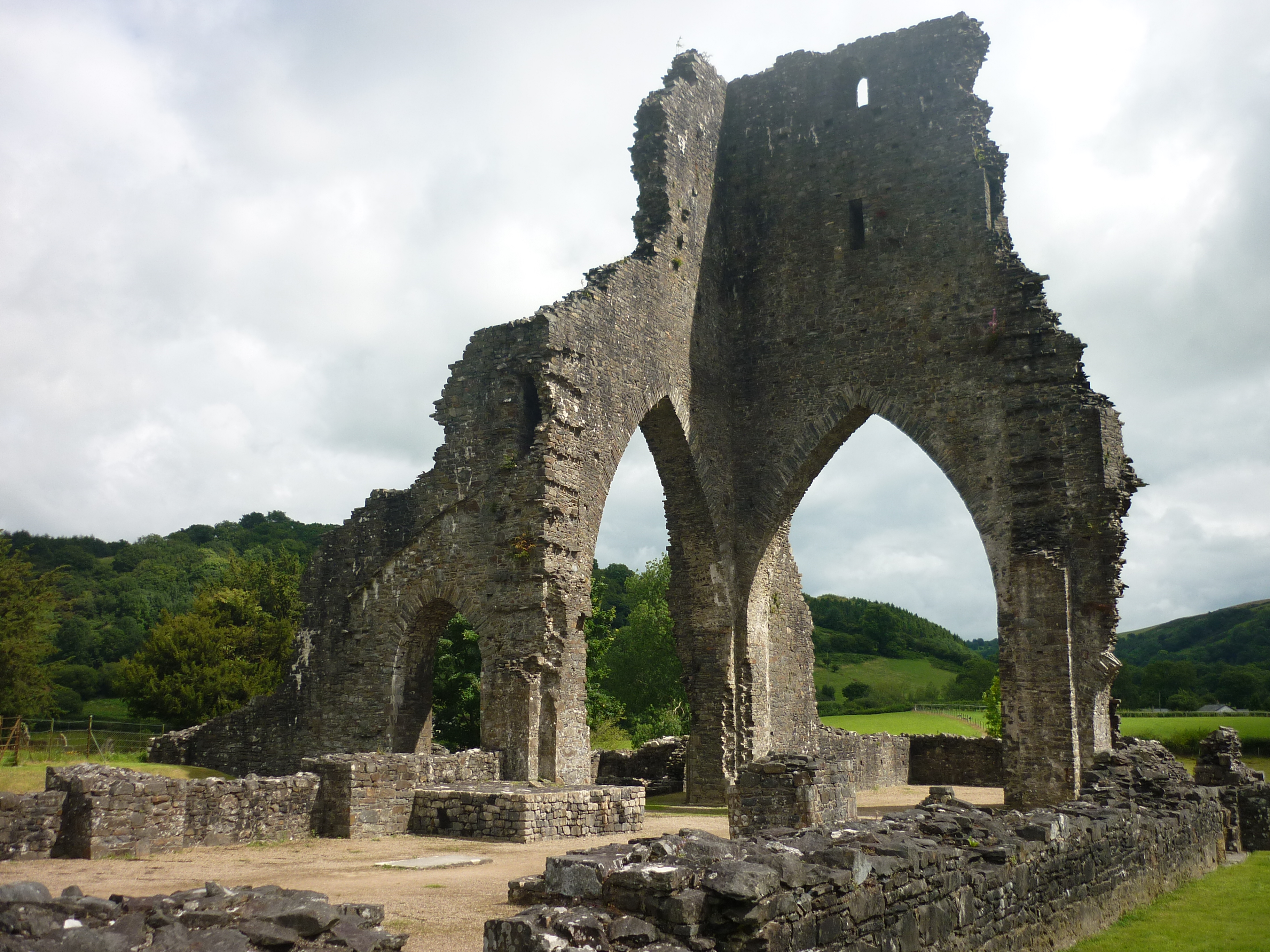
Coed Brynabon-isaf Images

Images are sourced within 2km of 51.994616/-4.0022134 or Grid Reference SN6234. Thanks to Geograph Open Source API. All images are credited.

Capel Bethel Chapel, Llansawel Bethel, Capel y Methodistiaid wrth ochr yr heol yn Llansawel.

Bethel Methodist Chapel alongside the road in Llansawel.
Capel Bethel Chapel, Llansawel
Bethel, Capel y Methodistiaid wrth ochr yr heol yn Llansawel. Bethel Methodist Chapel alongside the road in Llansawel.
Ordnance Survey 1GL Bolt This OS Bolt can be found on the west face of St Sawyl's Church. It marks a point 121.132m above mean sea level.
Ordnance Survey 1GL Bolt
This OS Bolt can be found on the west face of St Sawyl's Church. It marks a point 121.132m above mean sea level.
Ordnance Survey Cut Mark This OS cut mark can be found on the SE parapet of the bridge over the Afon Marlais. It marks a point 119.555m above mean sea level.
Ordnance Survey Cut Mark
This OS cut mark can be found on the SE parapet of the bridge over the Afon Marlais. It marks a point 119.555m above mean sea level.
Ordnance Survey Cut Mark This OS cut mark (top only) can be found on the east parapet of Pont Melinddwr. It marks a point 118.757m above mean sea level.
Ordnance Survey Cut Mark
This OS cut mark (top only) can be found on the east parapet of Pont Melinddwr. It marks a point 118.757m above mean sea level.
Ordnance Survey Rivet This OS rivet can be found on the milk stand at Penlan Farm. It marks a point 154.622m above mean sea level.
Ordnance Survey Rivet
This OS rivet can be found on the milk stand at Penlan Farm. It marks a point 154.622m above mean sea level.
Ordnance Survey Rivet This OS rivet can be found on the NE parapet of Pont Pwll Du. It marks a point 103.245m above mean sea level.
Ordnance Survey Rivet
This OS rivet can be found on the NE parapet of Pont Pwll Du. It marks a point 103.245m above mean sea level.
Ordnance Survey Cut Mark This OS cut mark can be found on the west parapet of the bridge. It marks a point 95.866m above mean sea level.
Ordnance Survey Cut Mark
This OS cut mark can be found on the west parapet of the bridge. It marks a point 95.866m above mean sea level.
Ordnance Survey Cut Mark This OS cut mark can be found on the NW parapet of the bridge. It marks a point 97.946m above mean sea level.
Ordnance Survey Cut Mark
This OS cut mark can be found on the NW parapet of the bridge. It marks a point 97.946m above mean sea level.
Ordnance Survey Cut Mark This OS cut mark can be found on the milk stand at Cilyllynfawr Farm. It marks a point 134.623m above mean sea level.
Ordnance Survey Cut Mark
This OS cut mark can be found on the milk stand at Cilyllynfawr Farm. It marks a point 134.623m above mean sea level.
Ordnance Survey Rivet This OS rivet can be found on the Milk Stand at Cwm-gwlaw-fawr Farm. It marks a point 180.838m above mean sea level.
Ordnance Survey Rivet
This OS rivet can be found on the Milk Stand at Cwm-gwlaw-fawr Farm. It marks a point 180.838m above mean sea level.
St Sawyl's Church, Llansawel Thought to be constructed in the fourteenth century, with the tower added in about 1500. Extensively restored in the nineteenth century.
St Sawyl's Church, Llansawel
Thought to be constructed in the fourteenth century, with the tower added in about 1500. Extensively restored in the nineteenth century.
Fields south of B4337 & B4310 Fields west of Llansawel, with B4337 in foreground.
Fields south of B4337 & B4310
Fields west of Llansawel, with B4337 in foreground.
Horses in field at Bron-Yr-Haul Horses in field next to house; the metal building is not shown on current OS map.
Horses in field at Bron-Yr-Haul
Horses in field next to house; the metal building is not shown on current OS map.
Llwybr Cyhoeddus i Lansawel / Path to Llansawel Llwybr cyhoeddus yn dringo'r tyle mas o Gwm Cothi ac yn mynd i gyfeiriad pentre Llansawel.

A public footpath climbing out of the Cothi Valley and heading in the direction of Llansawel (trans. church of St Sawel).
Llwybr Cyhoeddus i Lansawel / Path to Llansawel
Llwybr cyhoeddus yn dringo'r tyle mas o Gwm Cothi ac yn mynd i gyfeiriad pentre Llansawel. A public footpath climbing out of the Cothi Valley and heading in the direction of Llansawel (trans. church of St Sawel).
Llwybr yn gadael y cilffordd / Path exiting the byway Llwybr cyhoeddus ar y chwith yn gadael cilffordd yng nghwm Cothi. Yn y pellter gellir gweld talen bwthyn o'r enw Cwm.

A public footpath on the left exiting a byway in the Cothi valley. In the distance the gable end of a cottage known as Cwm can be seen.
Llwybr yn gadael y cilffordd / Path exiting the byway
Llwybr cyhoeddus ar y chwith yn gadael cilffordd yng nghwm Cothi. Yn y pellter gellir gweld talen bwthyn o'r enw Cwm. A public footpath on the left exiting a byway in the Cothi valley. In the distance the gable end of a cottage known as Cwm can be seen.
Garnwen a Beudy Bach
Cattle grazing
Cattle grazing
Afon Cothi
Afon Cothi
Show me another place!

Coed Brynabon-isaf is located at Grid Ref: SN6234 (Lat: 51.994616, Lng: -4.0022134)

Unitary Authority: Carmarthenshire

Police Authority: Dyfed Powys

What 3 Words

///method.blacked.passenger. Near Llansawel, Carmarthenshire

Related Wikis

Edwinsford

Edwinsford is a small hamlet situated about the historic Edwinsford Estate and fishery on the river Cothi, a tributary of the River Tywi, in Carmarthenshire...

Talley Lakes

Upper Talley Lake (Welsh: Llyn Talyllychau Uchaf) and Lower Talley Lake (Welsh: Llyn Talyllychau Isaf) are two small lakes immediately north of the village...

Llansawel

Llansawel is a village and community in Carmarthenshire, Wales, about ten miles north of Llandeilo. It covers an area of 4,079 hectares (15.75 sq mi)....

Talley transmitting station

The Talley television relay station is sited on high ground to the north of the village of Talley in Carmarthenshire. It was originally built in 1986 as...

Afon Annell

Afon Annell (River Annell) is a small river in Carmarthenshire, Wales. It is a tributary of the Afon Cothi.Some of the waters of the Annell were previously...

Talley Abbey

Talley Abbey (Welsh: Abaty Talyllychau) is a ruined former monastery of the Premonstratensians ("White Canons") in the village of Talley in Carmarthenshire...

Llansawel transmitting station

The Llansawel television relay station is sited on high ground to the north of the village of Llansawel in Carmarthenshire, South Wales. It was originally...

Talley

Talley (Welsh: Talyllychau, historically Tal y Llychau) is a village and community in Carmarthenshire, Wales.The population taken at the 2011 census was...

Nearby Amenities

Located within 500m of 51.994616,-4.0022134
Edwinsford
Is In: Carmarthenshire,Wales,UK
Name Cy: Rhydodyn
Name En: Edwinsford
Place: hamlet
Source: npe
Wikidata: Q13131061
Lat/Long: 51.9940746/-3.9952846
The data included in this document is from www.openstreetmap.org. The data is made available under ODbL.

Have you been to Coed Brynabon-isaf?

Leave your review of Coed Brynabon-isaf below (or comments, questions and feedback).