Moelfre
Hill, Mountain in Carmarthenshire
Wales
Moelfre
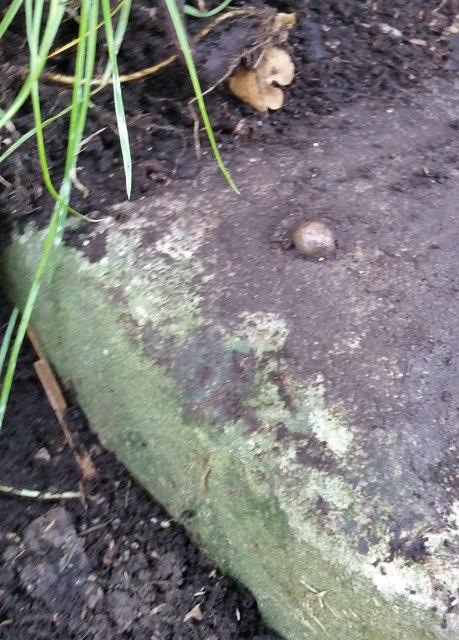
![Llwybr Penlan Fawr Path Llwybr cyhoeddus ger Ffarm Penlan Fawr.
A public footpath near Penlan Fawr Farm (Top of the hill [larger farm]).](https://s3.geograph.org.uk/geophotos/04/70/40/4704095_d29fb569.jpg)
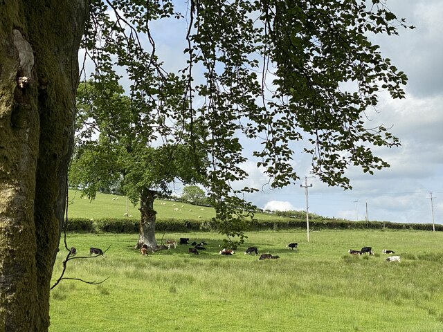
Moelfre is a picturesque hill located in the county of Carmarthenshire, Wales. Rising to an elevation of approximately 317 meters (1,040 feet), it offers stunning panoramic views of the surrounding countryside.
Situated near the village of Llangadog, Moelfre is part of the Brecon Beacons National Park, attracting hikers, nature enthusiasts, and outdoor adventurers. The hill is covered in lush greenery, with a diverse range of flora and fauna. It is particularly famous for its heather-covered slopes, which create a beautiful purple hue during the summer months.
The summit of Moelfre provides breathtaking views across the Carmarthenshire countryside, including the Towy Valley and the Black Mountain Range. On a clear day, visitors can even catch a glimpse of the Bristol Channel in the distance.
The hill is a popular destination for walkers and hikers, with several well-marked trails leading to the summit. These paths are suitable for visitors of varying abilities, offering a range of options, from gentle strolls to more challenging hikes. Along the way, visitors can spot an array of wildlife, such as red kites soaring above, as well as a variety of bird species and small mammals.
Moelfre is not only a haven for nature lovers but also a place of historical significance. The hill is home to the remnants of an Iron Age fort, known as Castell Dinas. This ancient hillfort provides a fascinating glimpse into the region's past, attracting history enthusiasts and archaeology buffs.
Overall, Moelfre is a captivating and rewarding destination, offering natural beauty, breathtaking views, and a touch of history, making it a must-visit location for anyone exploring Carmarthenshire.
If you have any feedback on the listing, please let us know in the comments section below.
Moelfre Images
Images are sourced within 2km of 51.988643/-3.997024 or Grid Reference SN6234. Thanks to Geograph Open Source API. All images are credited.


Moelfre is located at Grid Ref: SN6234 (Lat: 51.988643, Lng: -3.997024)
Unitary Authority: Carmarthenshire
Police Authority: Dyfed Powys
What 3 Words
///dispensed.soccer.mothering. Near Llansawel, Carmarthenshire
Nearby Locations
Related Wikis

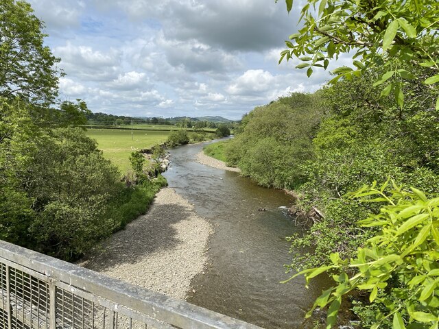
Edwinsford
Edwinsford is a small hamlet situated about the historic Edwinsford Estate and fishery on the river Cothi, a tributary of the River Tywi, in Carmarthenshire...

Talley Lakes
Upper Talley Lake (Welsh: Llyn Talyllychau Uchaf) and Lower Talley Lake (Welsh: Llyn Talyllychau Isaf) are two small lakes immediately north of the village...
Talley transmitting station
The Talley television relay station is sited on high ground to the north of the village of Talley in Carmarthenshire. It was originally built in 1986 as...
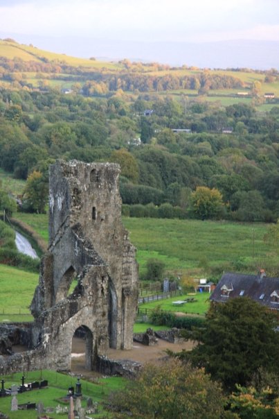
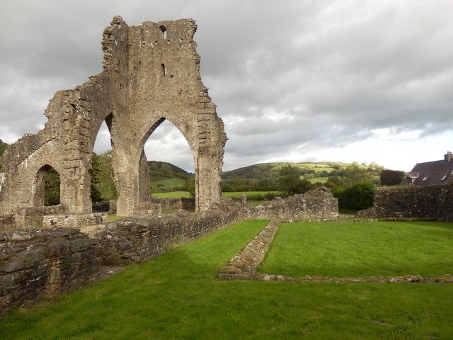
Talley Abbey
Talley Abbey (Welsh: Abaty Talyllychau) is a ruined former monastery of the Premonstratensians ("White Canons") in the village of Talley in Carmarthenshire...
Nearby Amenities
Located within 500m of 51.988643,-3.997024Have you been to Moelfre?
Leave your review of Moelfre below (or comments, questions and feedback).