Cnoc Tarsin

Hill, Mountain in Ross-shire

Scotland

Cnoc Tarsin

Minor road by Strathy
Minor road by Strathy Credit: Peter Moore

Cnoc Tarsin is a prominent hill located in Ross-shire, a county in the Highlands of Scotland. It is situated in the northern part of the county, near the small village of Evanton. With an elevation of approximately 1,000 feet (305 meters), Cnoc Tarsin is classified as a hill rather than a mountain.

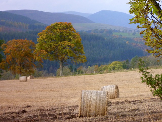
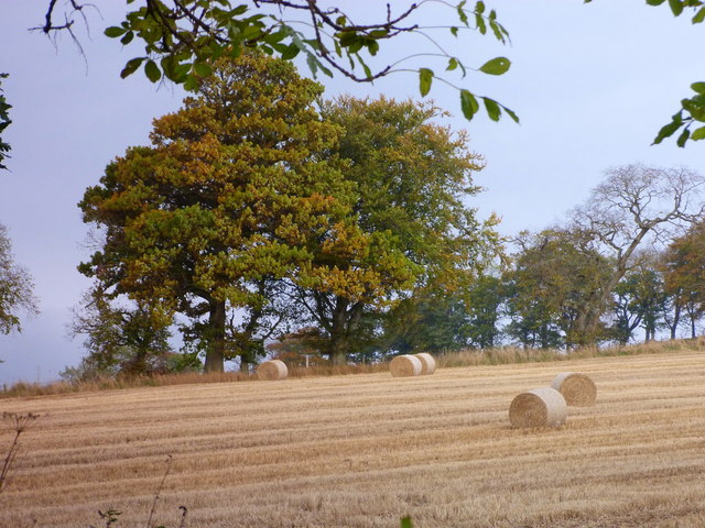
The hill is known for its distinctive rounded shape and is a prominent feature in the local landscape. It is composed mainly of sedimentary rocks, including sandstone and limestone, which give it a unique geological character. The vegetation on Cnoc Tarsin is mostly heather, grasses, and scattered patches of woodland, providing a habitat for various species of birds and small mammals.

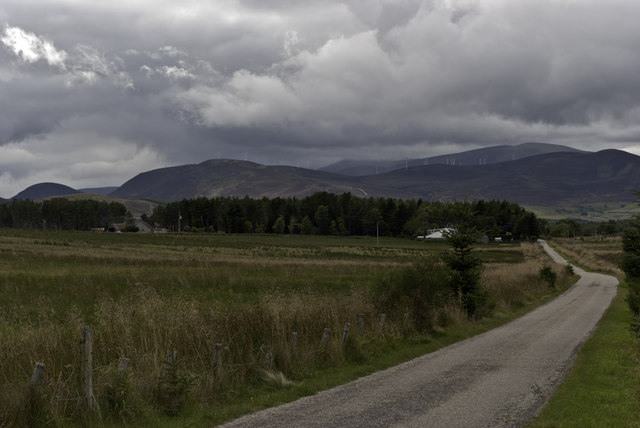
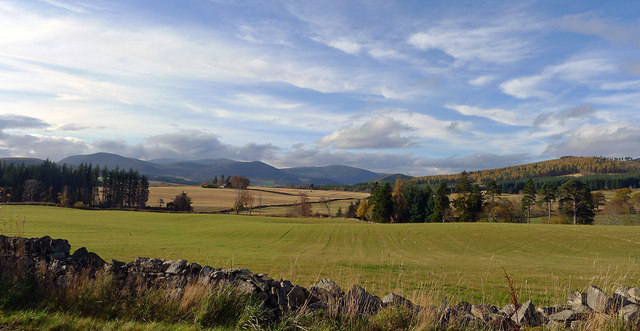
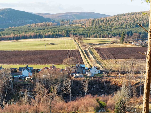
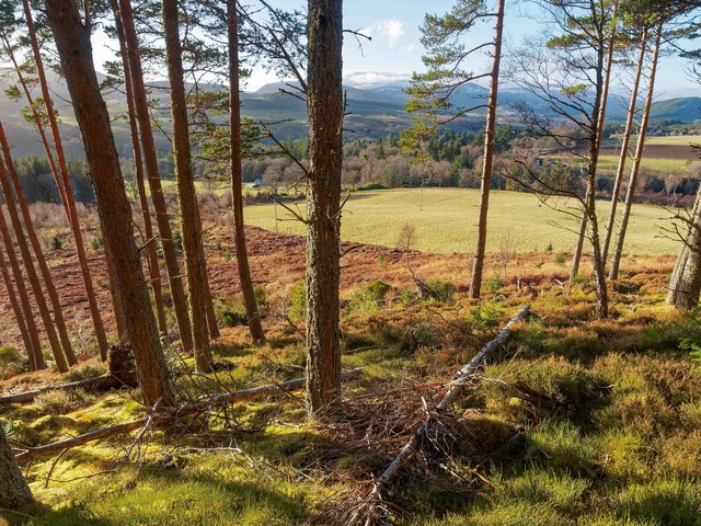
Cnoc Tarsin offers stunning panoramic views of the surrounding countryside, including the nearby Cromarty Firth and the Black Isle. On clear days, it is possible to see as far as the distant mountains of the West Highlands.

The hill is a popular destination for hikers and nature enthusiasts, offering several walking trails that lead to the summit. The ascent is moderate and can be completed in a couple of hours. At the top, visitors are rewarded with breathtaking vistas, making it a great spot for photography and picnics.

Overall, Cnoc Tarsin is a picturesque hill in Ross-shire, offering a perfect opportunity to enjoy the beauty of the Scottish Highlands and immerse oneself in nature.

If you have any feedback on the listing, please let us know in the comments section below.
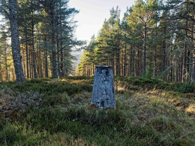
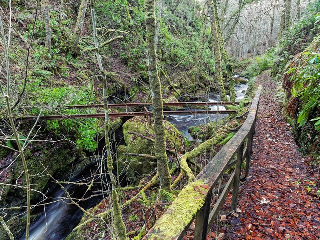
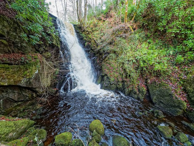
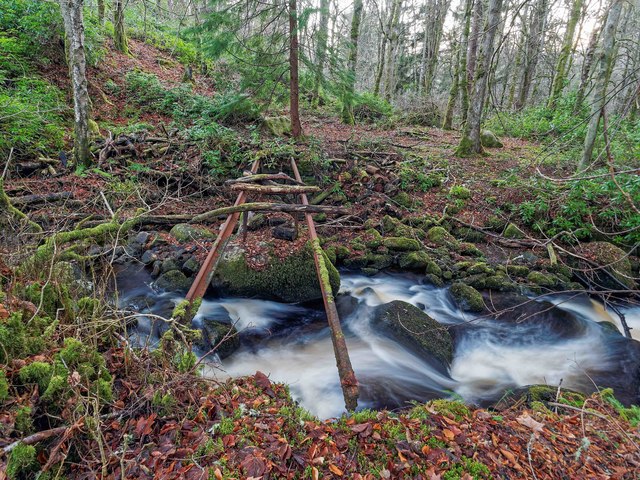
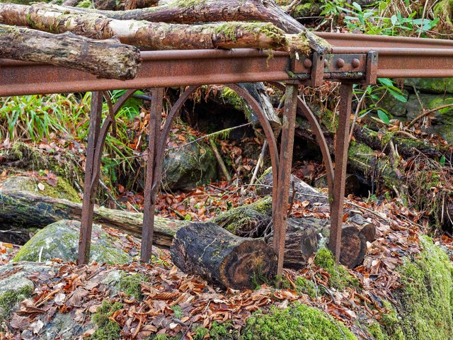
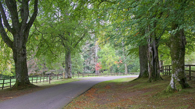
Cnoc Tarsin Images

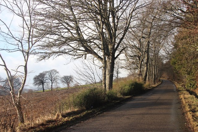
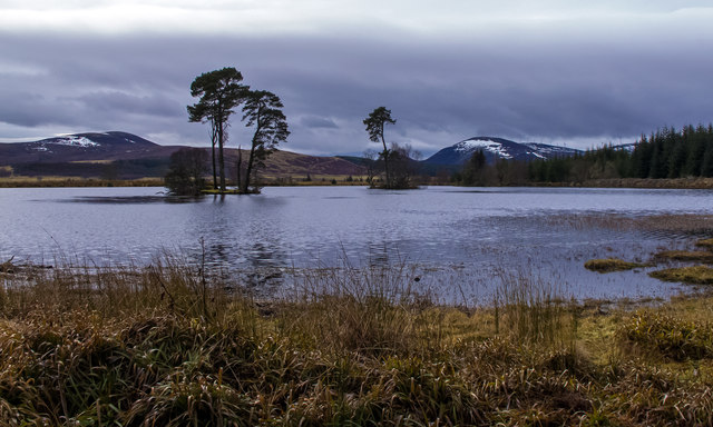
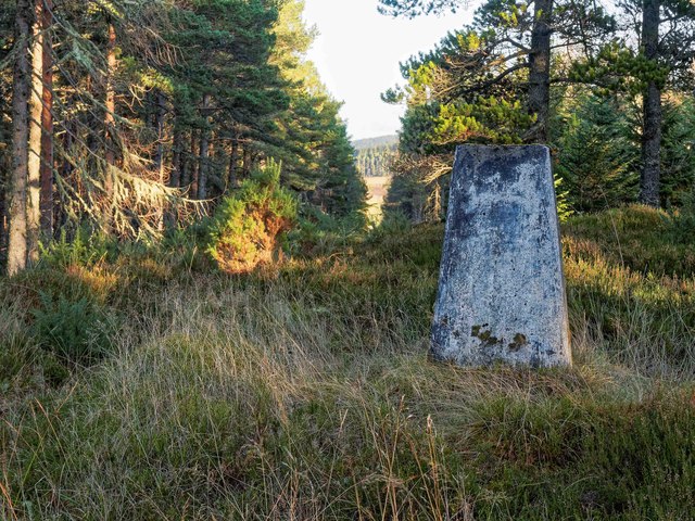
Images are sourced within 2km of 57.745314/-4.3035435 or Grid Reference NH6275. Thanks to Geograph Open Source API. All images are credited.

Minor road by Strathy
Looking towards Nover
Bales at Easter Ardross
More bales at Easter Ardross
Towards the west from the road from Ardross to Strathy A good view into the remote glens to the north of Glen Glass.
Towards the west from the road from Ardross to Strathy
A good view into the remote glens to the north of Glen Glass.
Ploughed field at Easter Ardross
Stubble at Easter Ardross
Loch Dubh There are three small islands in Loch Dubh, only the nearest one being within NH6175. The Scots Pine would make a fine nest site for an Osprey but the only occupant on the island was a single Greylag Goose.
Loch Dubh
There are three small islands in Loch Dubh, only the nearest one being within NH6175. The Scots Pine would make a fine nest site for an Osprey but the only occupant on the island was a single Greylag Goose.
Dublin - Ross-shire Dublin, Ross-shire viewed from Cnoc Duaig. According to Stan <a title="https://www.geograph.org.uk/discuss/index.php?action=vthread&topic=16001" href="https://www.geograph.org.uk/discuss/index.php?action=vthread&topic=16001">Link</a> Dublin was built to house Irish workers brought in to upgrade Ardross Castle.
Dublin - Ross-shire
Dublin, Ross-shire viewed from Cnoc Duaig. According to Stan Link Dublin was built to house Irish workers brought in to upgrade Ardross Castle.
Trig Pillar Cnoc Duaig Looking NE through the fire break.
Trig Pillar Cnoc Duaig
Looking NE through the fire break.
Trig Pillar Cnoc Duaig Looking SW, the OS maps suggest there is a footpath over the summit of Cnoc Duag down to the Ardross road. In effect, it's just a fire break, and the path becomes ill-defined at the base of the hill where the forest has been clear felled some years ago.
Trig Pillar Cnoc Duaig
Looking SW, the OS maps suggest there is a footpath over the summit of Cnoc Duag down to the Ardross road. In effect, it's just a fire break, and the path becomes ill-defined at the base of the hill where the forest has been clear felled some years ago.
Cnoc Duaig The OS maps show a path here, but it's become ill-defined and just a series of faint deer tracks below this point down to the Ardross road where the forest has been clear felled some considerable time ago
Cnoc Duaig
The OS maps show a path here, but it's become ill-defined and just a series of faint deer tracks below this point down to the Ardross road where the forest has been clear felled some considerable time ago
No Footbridge Here All that remains of the footbridge over the Toillie Burn are the support girders. They appear to have been made out of old bullhead rails, on the central support on the big rock the rails have been bolted together in the same manner as railway track with fishplates and bolts. The Ordnance Survey can't have been up here for some time as the bridge looks like it disappeared years ago.

The boardwalk path leads up to a waterfall on the Toillie Burn <a href="https://www.geograph.org.uk/photo/5246949">NH6174 : Waterfall on the Toillie Burn</a>
No Footbridge Here
All that remains of the footbridge over the Toillie Burn are the support girders. They appear to have been made out of old bullhead rails, on the central support on the big rock the rails have been bolted together in the same manner as railway track with fishplates and bolts. The Ordnance Survey can't have been up here for some time as the bridge looks like it disappeared years ago. The boardwalk path leads up to a waterfall on the Toillie Burn NH6174 : Waterfall on the Toillie Burn
Waterfall on the Toillie Burn
No Footbridge Here Just like the footbridge further upstream on the Toillie Burn, this one has long since fallen out of use. Again it appears to have been made from old bullhead railway track, joined in the middle by railway fishplates.
No Footbridge Here
Just like the footbridge further upstream on the Toillie Burn, this one has long since fallen out of use. Again it appears to have been made from old bullhead railway track, joined in the middle by railway fishplates.
Central support for former footbridge Ornate wrought iron support for the former footbridge over the Toillie Burn. General view of the bridge here <a href="https://www.geograph.org.uk/photo/5248824">NH6174 : No Footbridge Here</a>
Central support for former footbridge
Ornate wrought iron support for the former footbridge over the Toillie Burn. General view of the bridge here NH6174 : No Footbridge Here
Electrical supply box, Ardross Church The church was built on 1899 by the estate owner of Ardross Castle and he was an enthusiast for electricity - even running an electric car.  He generated his own electricity on the estate and gave Ardross Church the state-of-the-art electrical supply.  This has been preserved despite renovation of the church.
Electrical supply box, Ardross Church
The church was built on 1899 by the estate owner of Ardross Castle and he was an enthusiast for electricity - even running an electric car. He generated his own electricity on the estate and gave Ardross Church the state-of-the-art electrical supply. This has been preserved despite renovation of the church.
Drive to Ardross Castle You enter the Ardross Castle estate down an imposing drive.
Drive to Ardross Castle
You enter the Ardross Castle estate down an imposing drive.
Show me another place!

Cnoc Tarsin is located at Grid Ref: NH6275 (Lat: 57.745314, Lng: -4.3035435)

Unitary Authority: Highland

Police Authority: Highlands and Islands

What 3 Words

///anyway.apartment.librarian. Near Alness, Highland

Nearby Locations

Cnoc Tarsin Loanreoch

Related Wikis

Strathy, Ardross

Strathy (Scottish Gaelic: An t-Srathaidh, "small strath") is a strath in the Highlands of Scotland, forming the Northern part of the area known as Ardross...

Ardross, Highland

Ardross (Scottish Gaelic: Àird Rois, high-point of [Easter] Ross) is a rural area in the Highland region of Scotland, 30 miles (48 km) north of the nearest...

B9176 road

The B9176 also known as the "Struie" is a 15-mile-long (24 km) road from Alness to Bonar Bridge. in the Scottish Highlands. This road is the main road...

Achandunie

Achandunie (Scottish Gaelic: Achadh an Dùnaidh) is a village north of Alness in Ross-shire in the Scottish council area of the Highland. The village lies...

Nearby Amenities

Located within 500m of 57.745314,-4.3035435
Design: barrel
Power: tower
Lat/Long: 57.7439136/-4.2972319
Design: barrel
Power: tower
Lat/Long: 57.7470451/-4.2965799
Power: pole
Lat/Long: 57.7492821/-4.3008325
Power: pole
Lat/Long: 57.7492128/-4.3019749
Power: pole
Lat/Long: 57.7491359/-4.3034096
Power: pole
Lat/Long: 57.7490493/-4.3048321
Power: pole
Lat/Long: 57.7489833/-4.3060191
Power: pole
Lat/Long: 57.748875/-4.3076425
The data included in this document is from www.openstreetmap.org. The data is made available under ODbL.

Have you been to Cnoc Tarsin?

Leave your review of Cnoc Tarsin below (or comments, questions and feedback).