Loanreoch

Settlement in Ross-shire

Scotland

Loanreoch

Looking towards Nover
Looking towards Nover Credit: Peter Moore

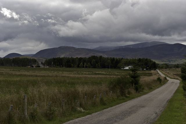
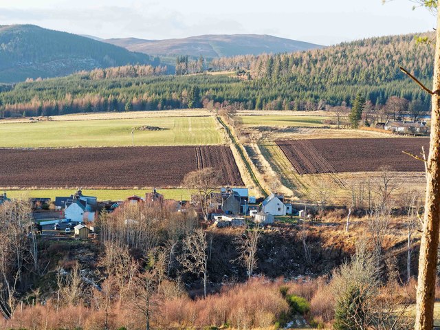
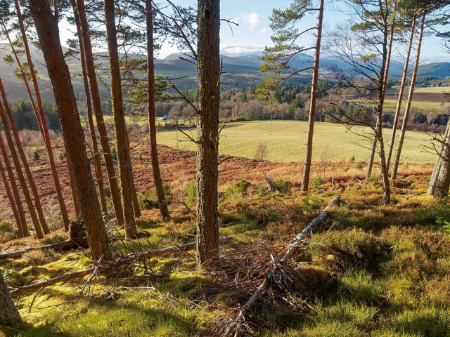
Loanreoch is a small rural village located in Ross-shire, Scotland. It is situated in a picturesque countryside setting, surrounded by rolling hills and lush greenery. The village is known for its tranquil and peaceful atmosphere, making it a popular destination for those seeking a quiet retreat away from the hustle and bustle of city life.

Loanreoch is home to a close-knit community of residents who take pride in their village and its traditional way of life. The village has a few amenities, including a local pub, a small convenience store, and a post office. There are also several walking trails and outdoor recreational areas nearby, making it an ideal spot for nature lovers and outdoor enthusiasts.

Despite its small size, Loanreoch has a rich history that dates back centuries. Visitors can explore historic landmarks such as the village church and old stone buildings, which provide a glimpse into the area's past.

Overall, Loanreoch offers a peaceful and idyllic setting for those looking to escape the hustle and bustle of modern life and enjoy the beauty of the Scottish countryside.

If you have any feedback on the listing, please let us know in the comments section below.
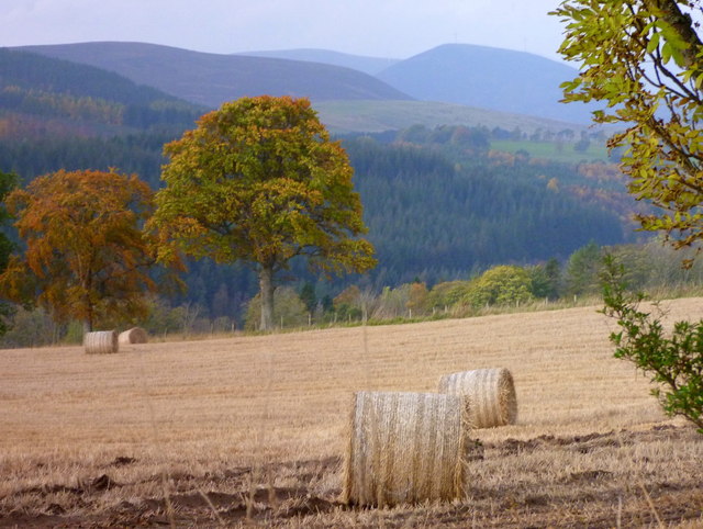
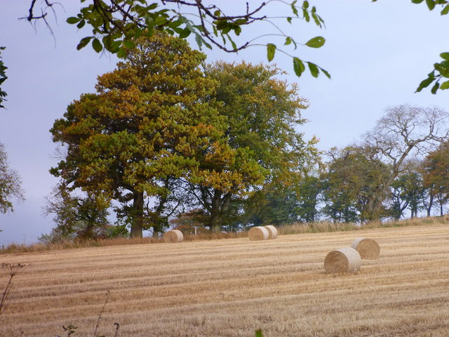
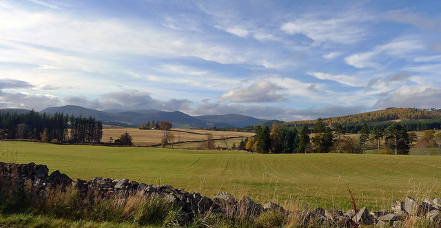
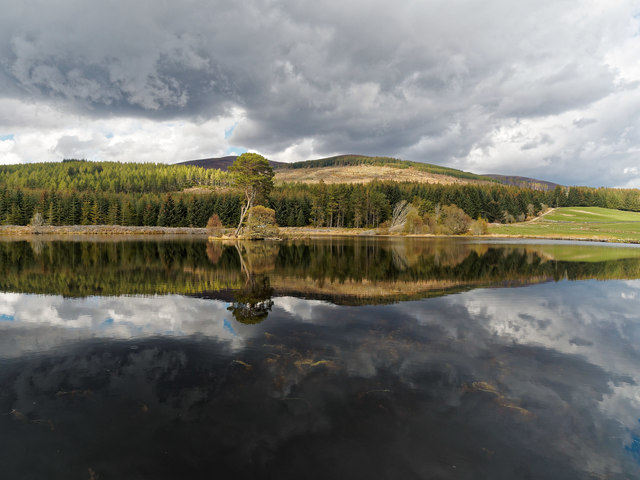
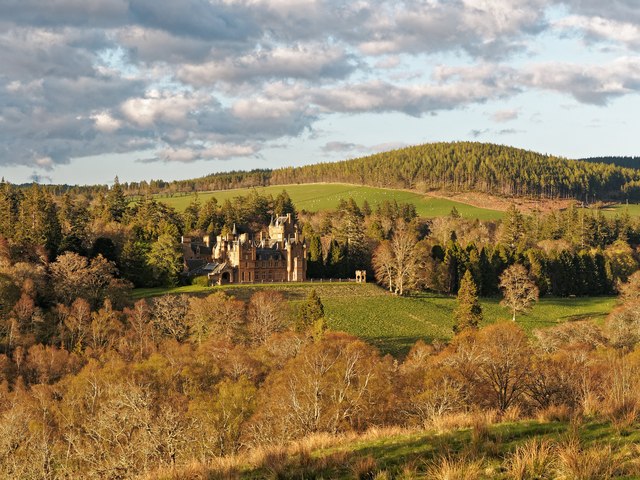
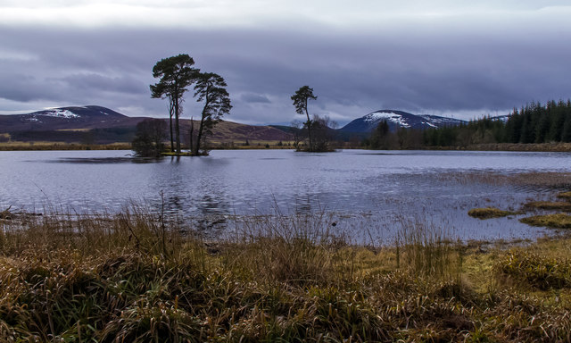
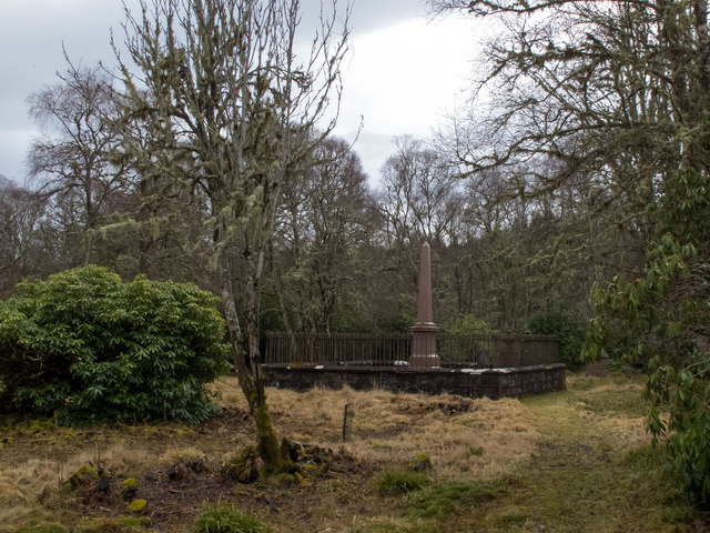
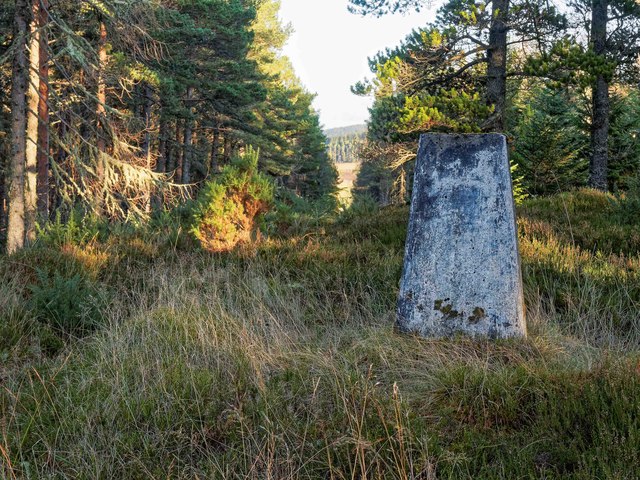
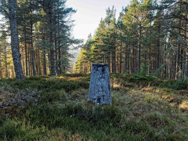
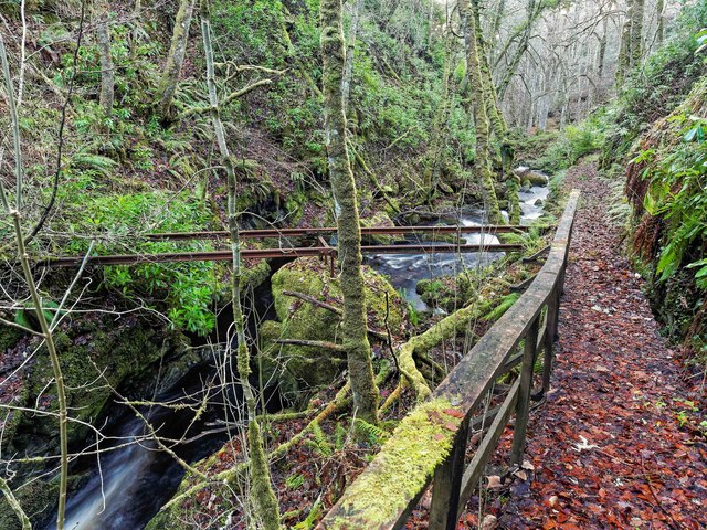
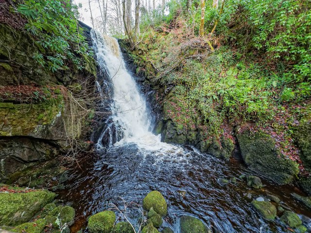
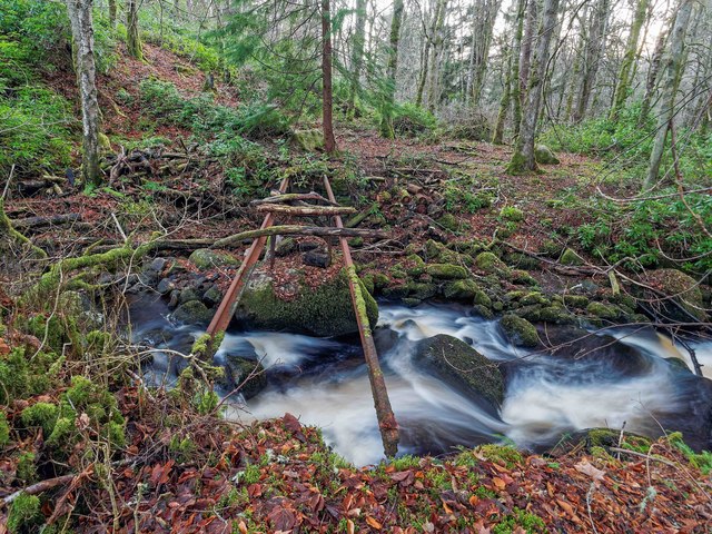
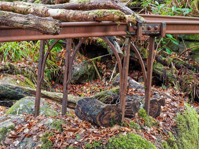
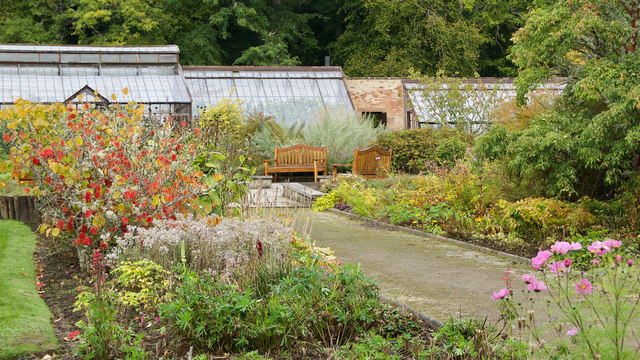
Loanreoch Images

Images are sourced within 2km of 57.746794/-4.3160395 or Grid Reference NH6275. Thanks to Geograph Open Source API. All images are credited.

Looking towards Nover
Bales at Easter Ardross
More bales at Easter Ardross
Towards the west from the road from Ardross to Strathy A good view into the remote glens to the north of Glen Glass.
Towards the west from the road from Ardross to Strathy
A good view into the remote glens to the north of Glen Glass.
Loch dubh
Loch dubh
Ardross Castle
Ardross Castle
Loch Dubh There are three small islands in Loch Dubh, only the nearest one being within NH6175. The Scots Pine would make a fine nest site for an Osprey but the only occupant on the island was a single Greylag Goose.
Loch Dubh
There are three small islands in Loch Dubh, only the nearest one being within NH6175. The Scots Pine would make a fine nest site for an Osprey but the only occupant on the island was a single Greylag Goose.
Burial ground at Ardross Castle The secluded Matheson family graveyard is situated above the steeply wooded banks of the River Averon.  The obelisk commemorates Sir Alexander Matheson, 1st Baronet, who bought Ardross Castle in 1845.
Burial ground at Ardross Castle
The secluded Matheson family graveyard is situated above the steeply wooded banks of the River Averon. The obelisk commemorates Sir Alexander Matheson, 1st Baronet, who bought Ardross Castle in 1845.
Dublin - Ross-shire Dublin, Ross-shire viewed from Cnoc Duaig. According to Stan <a title="https://www.geograph.org.uk/discuss/index.php?action=vthread&topic=16001" href="https://www.geograph.org.uk/discuss/index.php?action=vthread&topic=16001">Link</a> Dublin was built to house Irish workers brought in to upgrade Ardross Castle.
Dublin - Ross-shire
Dublin, Ross-shire viewed from Cnoc Duaig. According to Stan Link Dublin was built to house Irish workers brought in to upgrade Ardross Castle.
Trig Pillar Cnoc Duaig Looking NE through the fire break.
Trig Pillar Cnoc Duaig
Looking NE through the fire break.
Trig Pillar Cnoc Duaig Looking SW, the OS maps suggest there is a footpath over the summit of Cnoc Duag down to the Ardross road. In effect, it's just a fire break, and the path becomes ill-defined at the base of the hill where the forest has been clear felled some years ago.
Trig Pillar Cnoc Duaig
Looking SW, the OS maps suggest there is a footpath over the summit of Cnoc Duag down to the Ardross road. In effect, it's just a fire break, and the path becomes ill-defined at the base of the hill where the forest has been clear felled some years ago.
Cnoc Duaig The OS maps show a path here, but it's become ill-defined and just a series of faint deer tracks below this point down to the Ardross road where the forest has been clear felled some considerable time ago
Cnoc Duaig
The OS maps show a path here, but it's become ill-defined and just a series of faint deer tracks below this point down to the Ardross road where the forest has been clear felled some considerable time ago
No Footbridge Here All that remains of the footbridge over the Toillie Burn are the support girders. They appear to have been made out of old bullhead rails, on the central support on the big rock the rails have been bolted together in the same manner as railway track with fishplates and bolts. The Ordnance Survey can't have been up here for some time as the bridge looks like it disappeared years ago.

The boardwalk path leads up to a waterfall on the Toillie Burn <a href="https://www.geograph.org.uk/photo/5246949">NH6174 : Waterfall on the Toillie Burn</a>
No Footbridge Here
All that remains of the footbridge over the Toillie Burn are the support girders. They appear to have been made out of old bullhead rails, on the central support on the big rock the rails have been bolted together in the same manner as railway track with fishplates and bolts. The Ordnance Survey can't have been up here for some time as the bridge looks like it disappeared years ago. The boardwalk path leads up to a waterfall on the Toillie Burn NH6174 : Waterfall on the Toillie Burn
Waterfall on the Toillie Burn
No Footbridge Here Just like the footbridge further upstream on the Toillie Burn, this one has long since fallen out of use. Again it appears to have been made from old bullhead railway track, joined in the middle by railway fishplates.
No Footbridge Here
Just like the footbridge further upstream on the Toillie Burn, this one has long since fallen out of use. Again it appears to have been made from old bullhead railway track, joined in the middle by railway fishplates.
Central support for former footbridge Ornate wrought iron support for the former footbridge over the Toillie Burn. General view of the bridge here <a href="https://www.geograph.org.uk/photo/5248824">NH6174 : No Footbridge Here</a>
Central support for former footbridge
Ornate wrought iron support for the former footbridge over the Toillie Burn. General view of the bridge here NH6174 : No Footbridge Here
Electrical supply box, Ardross Church The church was built on 1899 by the estate owner of Ardross Castle and he was an enthusiast for electricity - even running an electric car.  He generated his own electricity on the estate and gave Ardross Church the state-of-the-art electrical supply.  This has been preserved despite renovation of the church.
Electrical supply box, Ardross Church
The church was built on 1899 by the estate owner of Ardross Castle and he was an enthusiast for electricity - even running an electric car. He generated his own electricity on the estate and gave Ardross Church the state-of-the-art electrical supply. This has been preserved despite renovation of the church.
Victorian greenhouses in the walled garden, Ardross Castle Proudly looked after, the greenhouses and walled garden produce more fruit and vegetables than the estate owners require.  The grapes were in perfect picking condition on October 6.
Victorian greenhouses in the walled garden, Ardross Castle
Proudly looked after, the greenhouses and walled garden produce more fruit and vegetables than the estate owners require. The grapes were in perfect picking condition on October 6.
Show me another place!

Loanreoch is located at Grid Ref: NH6275 (Lat: 57.746794, Lng: -4.3160395)

Unitary Authority: Highland

Police Authority: Highlands and Islands

What 3 Words

///calms.wager.adjusting. Near Alness, Highland

Nearby Locations

Loanreoch Cnoc Tarsin

Related Wikis

Strathy, Ardross

Strathy (Scottish Gaelic: An t-Srathaidh, "small strath") is a strath in the Highlands of Scotland, forming the Northern part of the area known as Ardross...

Ardross, Highland

Ardross (Scottish Gaelic: Àird Rois, high-point of [Easter] Ross) is a rural area in the Highland region of Scotland, 30 miles (48 km) north of the nearest...

B9176 road

The B9176 also known as the "Struie" is a 15-mile-long (24 km) road from Alness to Bonar Bridge. in the Scottish Highlands. This road is the main road...

Achandunie

Achandunie (Scottish Gaelic: Achadh an Dùnaidh) is a village north of Alness in Ross-shire in the Scottish council area of the Highland. The village lies...

Nearby Amenities

Located within 500m of 57.746794,-4.3160395
Power: pole
Lat/Long: 57.7454855/-4.3150927
Power: pole
Lat/Long: 57.7458905/-4.3146869
Power: pole
Lat/Long: 57.7460692/-4.3139929
Power: pole
Lat/Long: 57.746249/-4.3132563
Power: pole
Lat/Long: 57.7464168/-4.3125887
Power: pole
Lat/Long: 57.7469355/-4.3129519
Power: pole
Lat/Long: 57.7474618/-4.313307
Power: pole
Lat/Long: 57.7480401/-4.3137007
Power: pole
Lat/Long: 57.7485198/-4.3140355
Power: pole
Lat/Long: 57.7487927/-4.3091766
Power: pole
Lat/Long: 57.7487147/-4.3108405
Power: pole
Lat/Long: 57.7486216/-4.3124609
Power: pole
Lat/Long: 57.7484635/-4.3152449
Power: pole
Lat/Long: 57.7485566/-4.3163447
Power: pole
Lat/Long: 57.7487039/-4.3175704
Power: pole
Lat/Long: 57.7488317/-4.3186885
Power: pole
Lat/Long: 57.7489291/-4.3202936
Power: pole
Lat/Long: 57.7490006/-4.3213812
Power: pole
Lat/Long: 57.7490894/-4.3225825
Power: pole
Lat/Long: 57.7493493/-4.3109176
Power: pole
Lat/Long: 57.7500336/-4.3110191
Cor Tollie
Place: isolated_dwelling
Lat/Long: 57.7491234/-4.3186057
Loanreoch
Name Gd: An Lòn Riabhach
Place: hamlet
Lat/Long: 57.7457911/-4.3150652
The data included in this document is from www.openstreetmap.org. The data is made available under ODbL.

Have you been to Loanreoch?

Leave your review of Loanreoch below (or comments, questions and feedback).