Loanhead
Settlement in Morayshire
Scotland
Loanhead
Loanhead is a small village situated in the county of Morayshire, Scotland. It is located approximately 8 miles east of Elgin and 2 miles south of Burghead, making it easily accessible to both towns. Nestled amidst picturesque countryside, Loanhead offers a tranquil and rural setting, making it an ideal place for those seeking a peaceful retreat.
The village is primarily residential, with a population of around 200 residents. It is characterized by a mix of traditional stone-built cottages and more modern houses, giving it a charming and diverse architectural appeal. The community in Loanhead is tight-knit, with a friendly and welcoming atmosphere.
Although small in size, Loanhead has a few local amenities to offer its residents. These include a community hall, which serves as a hub for various social and recreational activities. There is also a local pub, providing a gathering place for locals and visitors alike.
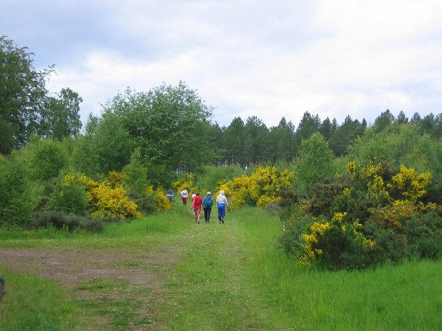
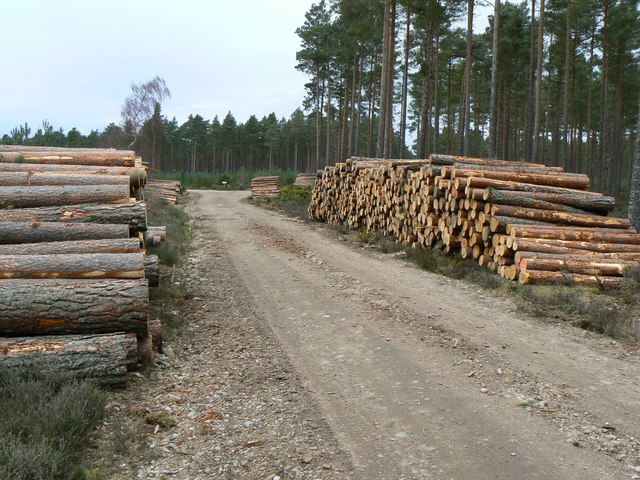
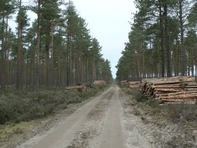
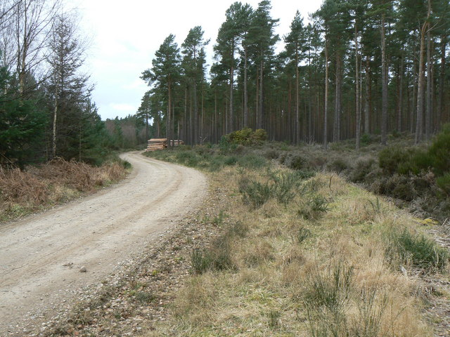
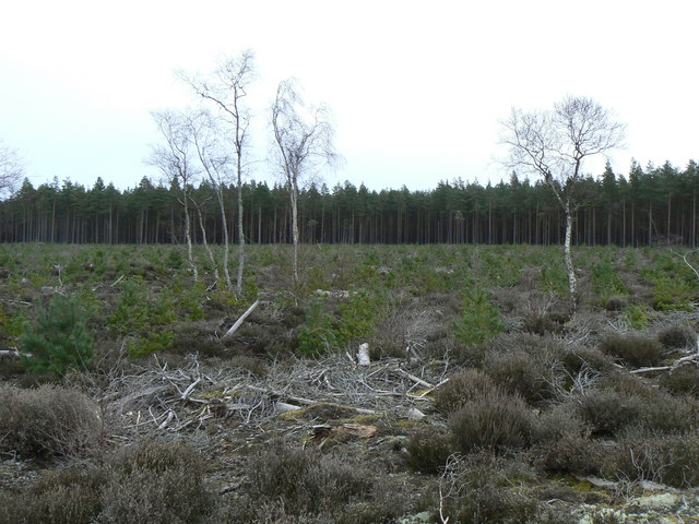
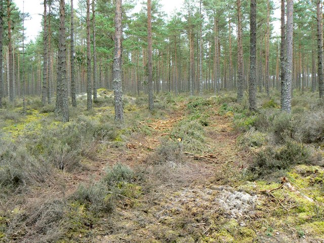
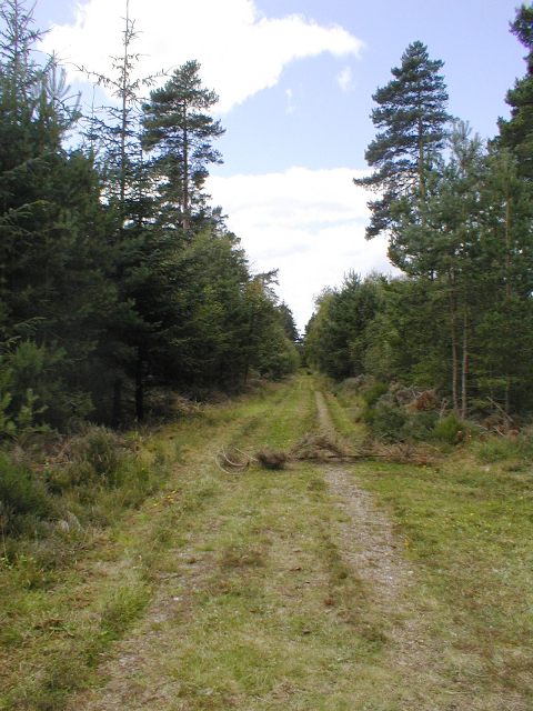
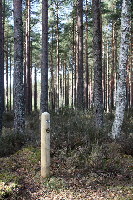
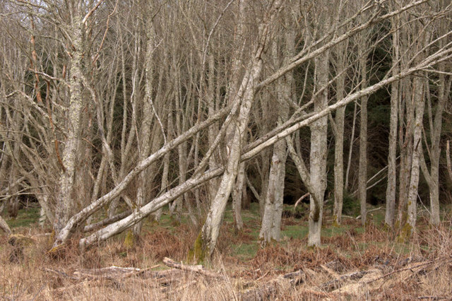
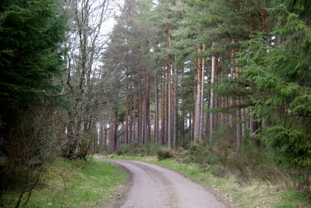
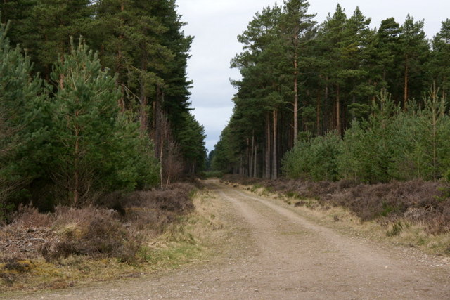
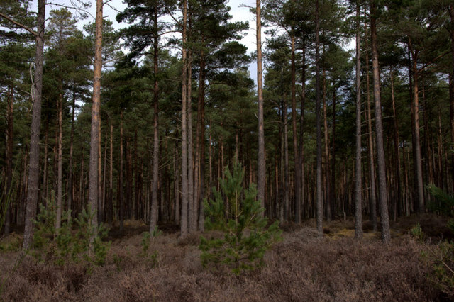
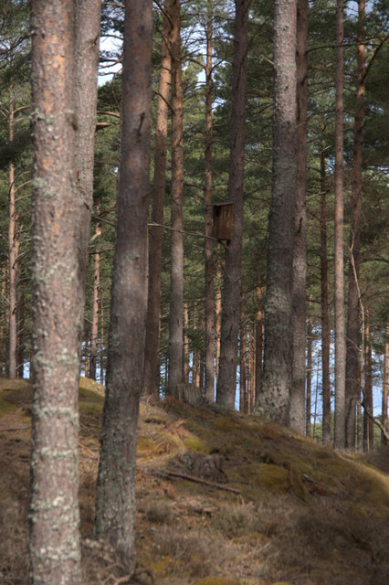
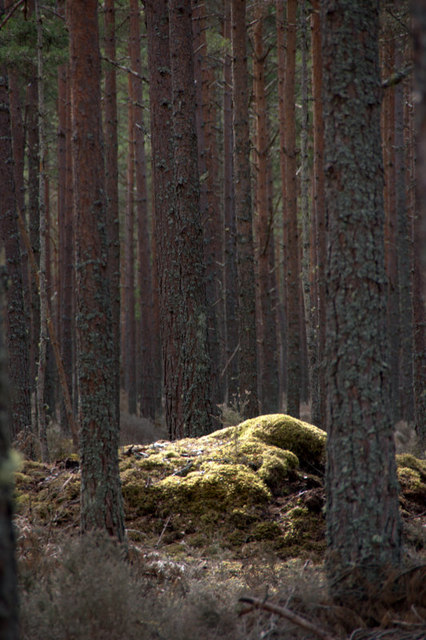
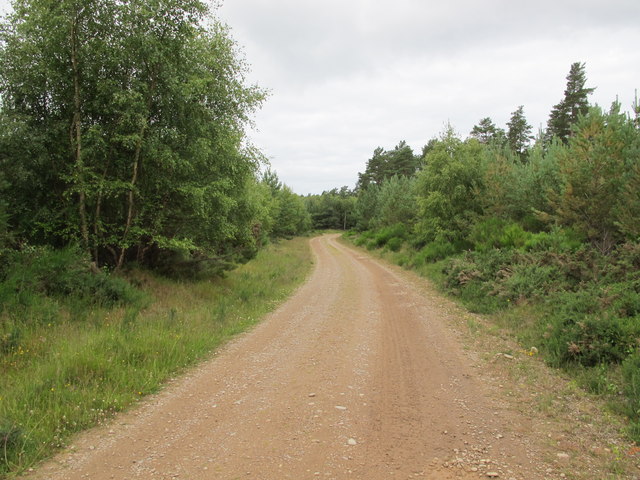
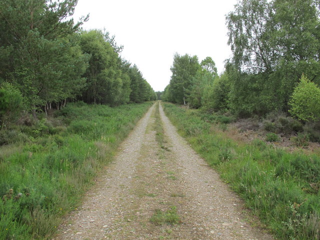
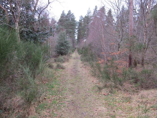
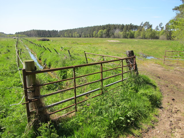
Surrounded by stunning countryside, Loanhead offers ample opportunities for outdoor activities. The village is close to the Moray coastline, allowing residents to explore beautiful sandy beaches and enjoy coastal walks. Additionally, the nearby forests and hills provide a haven for hiking, cycling, and wildlife spotting.
Loanhead benefits from its proximity to larger towns, such as Elgin, which offer a wider range of amenities including supermarkets, schools, healthcare facilities, and leisure centers. The village is also well-connected by road, with easy access to the A96, making it convenient for commuters.
In summary, Loanhead is a small and tranquil village in Morayshire, Scotland. With its picturesque setting, friendly community, and easy access to nearby amenities, it offers a peaceful and idyllic lifestyle for its residents.
If you have any feedback on the listing, please let us know in the comments section below.
Loanhead Images
Images are sourced within 2km of 57.610206/-3.7071181 or Grid Reference NH9859. Thanks to Geograph Open Source API. All images are credited.
Loanhead is located at Grid Ref: NH9859 (Lat: 57.610206, Lng: -3.7071181)
Unitary Authority: Moray
Police Authority: North East
What 3 Words
///perfectly.meanwhile.income. Near Forres, Moray
Nearby Locations
Related Wikis

Dyke, Moray
Dyke (Scottish Gaelic: Dìg) is a small village situated in the north of Scotland on the Moray coast, approximately 4 miles west of Forres. The origin of...

Dyke Parish Church
Dyke Parish Church is a Georgian church in Dyke, a village in Moray. In active use by the Church of Scotland since it was built in 1781, it stands on the...

Rodney's Stone
Rodney's Stone is a two-metre high Pictish cross slab now located close on the approach way to Brodie Castle, near Forres, Moray, Scotland. It was originally...
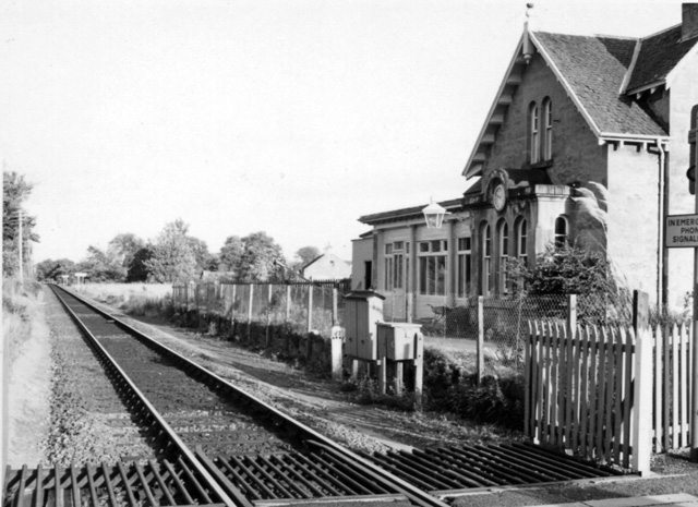
Brodie railway station
Brodie railway station served the area of Brodie, Moray, Scotland from 1857 to 1965 on the Inverness and Aberdeen Junction Railway. == History == The station...
Nearby Amenities
Located within 500m of 57.610206,-3.7071181Have you been to Loanhead?
Leave your review of Loanhead below (or comments, questions and feedback).