Cloddymoss

Settlement in Morayshire

Scotland

Cloddymoss

Orienteers at Culbin The great sands of Culbin once threatened and destroyed farms and villages. They have now been tamed and stabilised by forestry. The technical navigational challenge of a vast detailed forest makes it one of the very best orienteering venues. Here runners are waiting to start at NH981613.
Orienteers at Culbin Credit: Richard Webb

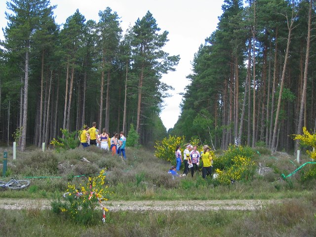
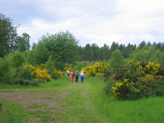
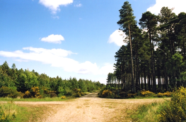
Cloddymoss is a small village located in the region of Morayshire, Scotland. Situated amidst rolling hills and picturesque landscapes, it is known for its tranquil and idyllic setting. The village is home to a close-knit community and offers a peaceful retreat for those seeking a slower pace of life.

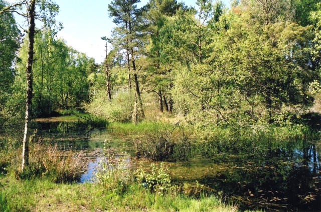
The architecture of Cloddymoss is largely traditional, with quaint cottages and stone-built houses dotting the streets. The village is surrounded by lush green fields and farmland, contributing to its rural charm. Its natural beauty is further enhanced by the presence of a nearby river, which adds to the village's serene atmosphere.

The community in Cloddymoss is warm and welcoming, with residents known for their friendly nature. The village has a primary school that serves the local children, and a small but well-stocked village shop that caters to the daily needs of its inhabitants. The shop also acts as a meeting point for locals, providing a space for social gatherings and catching up with neighbors.

Cloddymoss is well-connected to the surrounding areas by road, making it easily accessible for both residents and visitors. The village is a popular destination for outdoor enthusiasts, offering ample opportunities for hiking, cycling, and exploring the nearby countryside.

Overall, Cloddymoss is a charming and peaceful village that offers a close community, breathtaking scenery, and a chance to experience a slice of rural Scottish life.

If you have any feedback on the listing, please let us know in the comments section below.
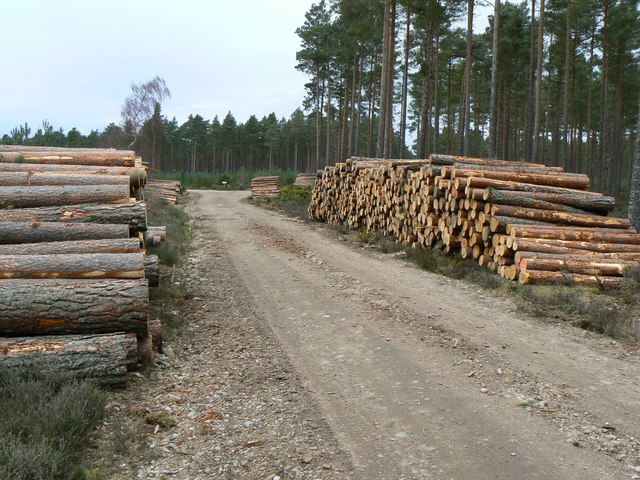
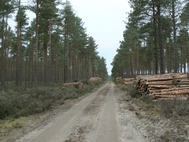
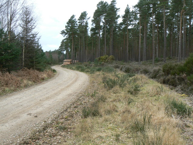
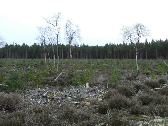
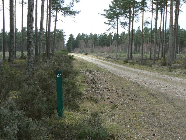
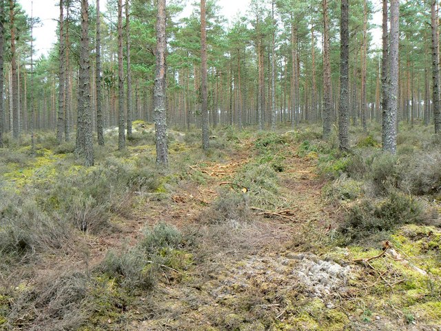
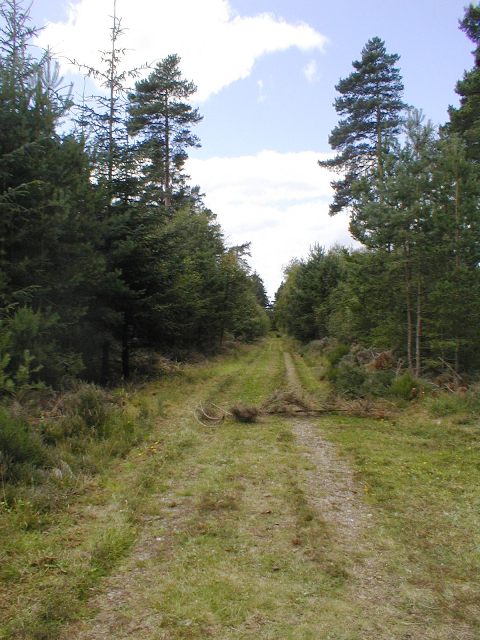
Cloddymoss Images

Images are sourced within 2km of 57.618205/-3.706301 or Grid Reference NH9859. Thanks to Geograph Open Source API. All images are credited.

Orienteers at Culbin The great sands of Culbin once threatened and destroyed farms and villages. They have now been tamed and stabilised by forestry. The technical navigational challenge of a vast detailed forest makes it one of the very best orienteering venues. Here runners are waiting to start at NH981613.
Orienteers at Culbin
The great sands of Culbin once threatened and destroyed farms and villages. They have now been tamed and stabilised by forestry. The technical navigational challenge of a vast detailed forest makes it one of the very best orienteering venues. Here runners are waiting to start at NH981613.
Culbin Forest Another scene from this vast forest, taken at NH983608. Orienteers walking towards the race start deeper in the forest.
Culbin Forest
Another scene from this vast forest, taken at NH983608. Orienteers walking towards the race start deeper in the forest.
Culbin Forest A crossroads in the Culbin Forest with differing species at each side.
Culbin Forest
A crossroads in the Culbin Forest with differing species at each side.
The Culbin Duck Pond This is one of a number of ponds originally created to provide water for fighting forest fires. It is now a tranquil spot, so named because Mallards breed here.
The Culbin Duck Pond
This is one of a number of ponds originally created to provide water for fighting forest fires. It is now a tranquil spot, so named because Mallards breed here.
Track from Kintessack to Culbin Forest The area of forest at the far end is where "species trials" of various types of tree were carried out during the 1920s to determine which trees would best suit the unusual sand dune conditions at Culbin.
Track from Kintessack to Culbin Forest
The area of forest at the far end is where "species trials" of various types of tree were carried out during the 1920s to determine which trees would best suit the unusual sand dune conditions at Culbin.
Timber stacks Tree trunk stacks lining a forestry road beside an area of Culbin Forest which has been clearfelled.
Timber stacks
Tree trunk stacks lining a forestry road beside an area of Culbin Forest which has been clearfelled.
Felled timber Recently felled timber awaiting haulage from the forest to the mill.
Felled timber
Recently felled timber awaiting haulage from the forest to the mill.
Forestry track in Culbin Forest Access to most areas of this forest has been made easy for walkers and cyclists by a network of tracks and paths.
Forestry track in Culbin Forest
Access to most areas of this forest has been made easy for walkers and cyclists by a network of tracks and paths.
Silver survivors A few silver birch trees remain standing in a clearfelled area of Culbin Forest.
Silver survivors
A few silver birch trees remain standing in a clearfelled area of Culbin Forest.
Forestry track junction At most track intersections in Culbin Forest numbered posts have been erected to assist walkers to locate their position by simply consulting a free-issue Forestry Commission guide map.
Forestry track junction
At most track intersections in Culbin Forest numbered posts have been erected to assist walkers to locate their position by simply consulting a free-issue Forestry Commission guide map.
Vehicular access Small branches and offcuts spread on the soft ground to allow forestry vehicles to gain access to the forest.
Vehicular access
Small branches and offcuts spread on the soft ground to allow forestry vehicles to gain access to the forest.
Claymoss Waterlogged farmland, after a period of heavy rain.
Claymoss
Waterlogged farmland, after a period of heavy rain.
Shops, Culbin The tented village at Spey 2007. Orienteering kit is hard to buy in Scotland, other than online. The retailers here are making a rare visit, so this is a chance to splurge out on new kit. The sport is rather physical, shoes and clothing gets trashed quite easily.
Shops, Culbin
The tented village at Spey 2007. Orienteering kit is hard to buy in Scotland, other than online. The retailers here are making a rare visit, so this is a chance to splurge out on new kit. The sport is rather physical, shoes and clothing gets trashed quite easily.
Run in, Culbin Only half of the field was planted with barley, the rest was grassland. Possibly an agreement between the organisers of Spey 2007, (a 4000 competitor series of orienteering races) and the farmer. A mound of sandy soil makes a great grandstand to watch the finish sprints. The runner in the foreground is from Täby, near Stockholm.  This most inclusive of sports had athletes of all ages and from all over the world present.
--

By 2021 the barley field had become an enclosure for free range hens.
Run in, Culbin
Only half of the field was planted with barley, the rest was grassland. Possibly an agreement between the organisers of Spey 2007, (a 4000 competitor series of orienteering races) and the farmer. A mound of sandy soil makes a great grandstand to watch the finish sprints. The runner in the foreground is from Täby, near Stockholm. This most inclusive of sports had athletes of all ages and from all over the world present. -- By 2021 the barley field had become an enclosure for free range hens.
Leaving Culbin Hurdling is one of many athletic skills useful to the orienteer. The carpeted fence was a fun obstacle before punching the last control. It felt higher than it really was. Here the farmland gives way to forested sand dunes.
Leaving Culbin
Hurdling is one of many athletic skills useful to the orienteer. The carpeted fence was a fun obstacle before punching the last control. It felt higher than it really was. Here the farmland gives way to forested sand dunes.
Spey 2007 day 4 run in, Culbin Clubs erect tents near the finish run in. In 2007 feather banners were all the rage, and the event centres have been likened to a medieval warrior encampment. Long after the orienteers have departed to their respective home countries, the barley continues to ripen. Morayshire grows a lot of barley to feed the whisky industry.

Sure beats running around in circles on a carpet!
Spey 2007 day 4 run in, Culbin
Clubs erect tents near the finish run in. In 2007 feather banners were all the rage, and the event centres have been likened to a medieval warrior encampment. Long after the orienteers have departed to their respective home countries, the barley continues to ripen. Morayshire grows a lot of barley to feed the whisky industry. Sure beats running around in circles on a carpet!
Forest Road, Culbin
Forest Road, Culbin
Bungalows Near Kintessack From Claymoss
Bungalows Near Kintessack
From Claymoss
Show me another place!

Cloddymoss is located at Grid Ref: NH9859 (Lat: 57.618205, Lng: -3.706301)

Unitary Authority: Moray

Police Authority: North East

What 3 Words

///rams.dinner.reduction. Near Forres, Moray

Nearby Locations

Loanhead Cloddymoss

Related Wikis

Dyke Parish Church

Dyke Parish Church is a Georgian church in Dyke, a village in Moray. In active use by the Church of Scotland since it was built in 1781, it stands on the...

Dyke, Moray

Dyke (Scottish Gaelic: Dìg) is a small village situated in the north of Scotland on the Moray coast, approximately 4 miles west of Forres. The origin of...

Culbin Sands, Forest and Findhorn Bay

Culbin Sands, Forest and Findhorn Bay is a huge area of coast and countryside and an SSSI (site of special scientific interest) in Moray, Scotland, stretching...

Kintessack

Kintessack is a locality and village in the parish of Dyke and Moy, 3 miles (4.8 km) northwest of Forres in Moray, Scotland. == History == The Murray of...

Nearby Amenities

Located within 500m of 57.618205,-3.706301
Parking
Cloddymoss
Lat/Long: 57.6180205/-3.7085131
Power: pole
Lat/Long: 57.6176611/-3.7052741
Power: pole
Lat/Long: 57.6182581/-3.7045616
Power: pole
Lat/Long: 57.6187902/-3.7038983
Power: pole
Lat/Long: 57.6192923/-3.703299
Power: pole
Lat/Long: 57.6198173/-3.7026597
Power: pole
Lat/Long: 57.6203594/-3.7020017
Power: pole
Lat/Long: 57.620542/-3.7007924
Power: pole
Lat/Long: 57.620716/-3.699615
Power: pole
Lat/Long: 57.6180919/-3.706012
Power: pole
Lat/Long: 57.6172245/-3.7041314
Power: pole
Lat/Long: 57.6167944/-3.7030033
Power: pole
Lat/Long: 57.6163657/-3.7018819
The data included in this document is from www.openstreetmap.org. The data is made available under ODbL.

Have you been to Cloddymoss?

Leave your review of Cloddymoss below (or comments, questions and feedback).