Loanhead

Settlement in Renfrewshire

Scotland

Loanhead

Black Cart Water Looking towards the River Clyde from Inchinnan Bridge
Black Cart Water Credit: william craig

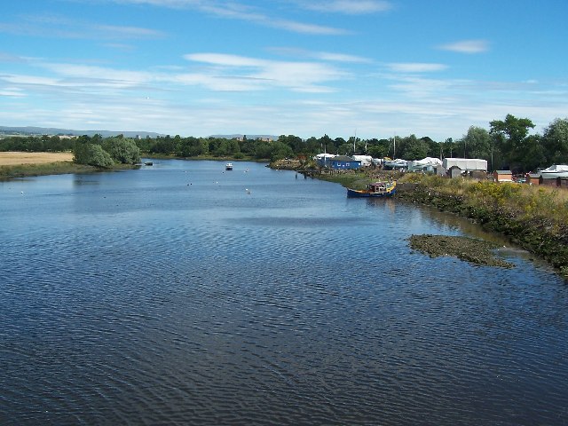
Loanhead is a small village located in the council area of Renfrewshire, Scotland. Situated approximately 8 miles west of Glasgow, it is nestled within a picturesque rural setting. The village is known for its tranquil atmosphere and scenic landscapes, making it an ideal retreat from the bustling city life.

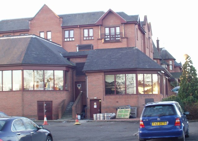
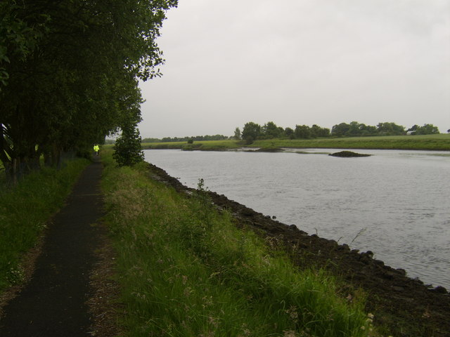
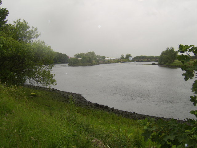
Loanhead is predominantly a residential area, with a tight-knit community that prides itself on its friendly and welcoming nature. The village is characterized by a mix of traditional stone-built houses and more modern developments, providing a diverse range of housing options. The village also benefits from an abundance of green spaces, including parks and fields, which are popular among residents for leisure activities and outdoor pursuits.

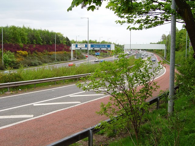
Despite its rural location, Loanhead enjoys good transport links, with regular bus services connecting it to Glasgow and other nearby towns. The village is also conveniently located near major road networks, making it easily accessible by car.

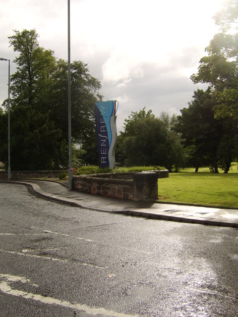
In terms of amenities, Loanhead offers a range of local shops, including a convenience store and a post office, catering to the daily needs of its residents. For more extensive shopping options, the nearby towns of Paisley and Renfrew are just a short drive away.

Overall, Loanhead is a peaceful and charming village that offers a high quality of life for its residents. Its picturesque surroundings, close-knit community, and convenient location make it an attractive place to live for those seeking a balance between rural tranquility and urban accessibility.

If you have any feedback on the listing, please let us know in the comments section below.
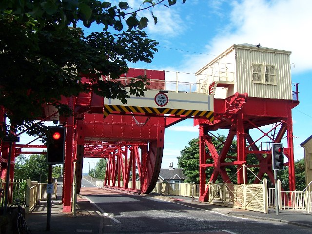
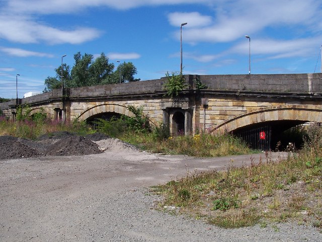
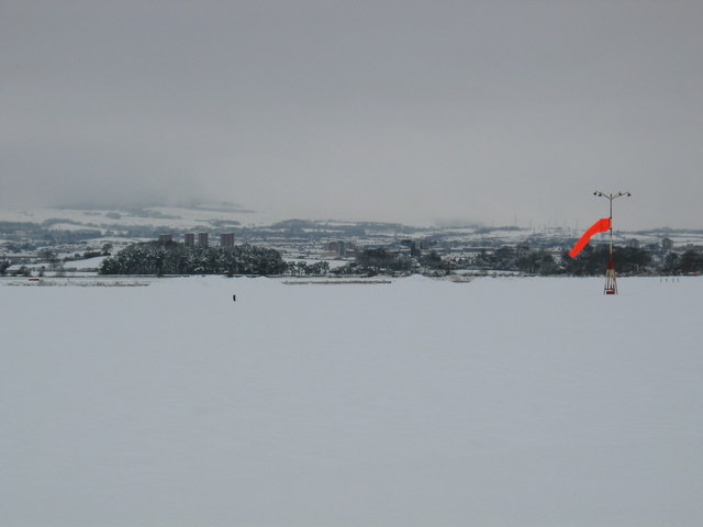
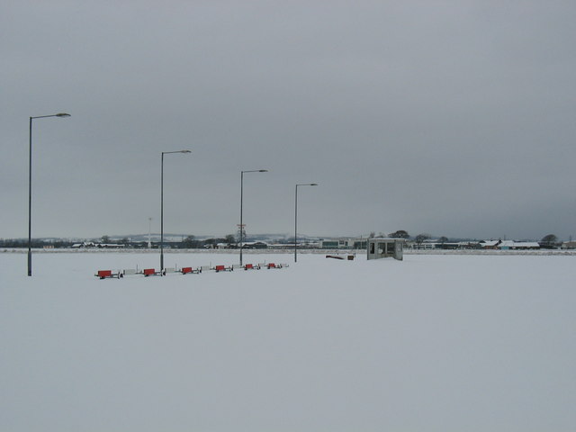
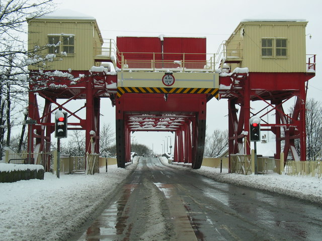
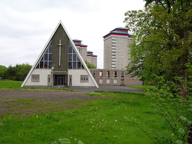
Loanhead Images

Images are sourced within 2km of 55.873605/-4.3903652 or Grid Reference NS5067. Thanks to Geograph Open Source API. All images are credited.

Black Cart Water Looking towards the River Clyde from Inchinnan Bridge
Black Cart Water
Looking towards the River Clyde from Inchinnan Bridge
White Cart bridge a Scherzer rolling lift bridge built 1924 recently refurbished
White Cart bridge
a Scherzer rolling lift bridge built 1924 recently refurbished
Old White Cart bridge Built 1812 3-span ashlar bridge landlocked between Black Cart and White Cart bridges.
Old White Cart bridge
Built 1812 3-span ashlar bridge landlocked between Black Cart and White Cart bridges.
The Glynhill Hotel Paisley Road, Renfrew (close to the M8 motorway)

We use this place for a lot of conferences!
The Glynhill Hotel
Paisley Road, Renfrew (close to the M8 motorway) We use this place for a lot of conferences!
Snow covered Glasgow Airport. Sunday 12th March 2006 taken from Abbotsinch Road looking north east, the runway and taxiing areas completely covered and closed the Airport.
Snow covered Glasgow Airport.
Sunday 12th March 2006 taken from Abbotsinch Road looking north east, the runway and taxiing areas completely covered and closed the Airport.
Glasgow Airport. Taken from the Emergency Crash gate entrance overlooking a deep snow covered airport runway area.
Glasgow Airport.
Taken from the Emergency Crash gate entrance overlooking a deep snow covered airport runway area.
White Cart bridge Renfrew.
Sandyford Kirk Church of Scotland church and towerblocks, Paisley.
Sandyford Kirk
Church of Scotland church and towerblocks, Paisley.
M8 Western approaches to Glasgow at junction 27. An elder bush in the way is far preferable to a windscreen.  Main route into the city from Paisley, Renfrewshire and the Airport.
M8
Western approaches to Glasgow at junction 27. An elder bush in the way is far preferable to a windscreen. Main route into the city from Paisley, Renfrewshire and the Airport.
Comet warehouse fire, August 1976
Car Park Abbot's Inch restaurant by the onramp to the M8.
Car Park
Abbot's Inch restaurant by the onramp to the M8.
River Cart Looking south.
River Cart
Looking south.
Split of the Black Cart and White Cart Waters Glasgow Airport lies between these two River Clyde tributaries.
Split of the Black Cart and White Cart Waters
Glasgow Airport lies between these two River Clyde tributaries.
Plane landing over field On descent towards Glasgow Airport.
Plane landing over field
On descent towards Glasgow Airport.
Your landing gear is down.... Plane on final descent into the airport.
Your landing gear is down....
Plane on final descent into the airport.
Plane landing over Greenock Road At the north side of Glasgow Airport.
Plane landing over Greenock Road
At the north side of Glasgow Airport.
Disused Comet warehouse, Renfrew
Sign at entrance to Renfrew Retail Park
Show me another place!

Loanhead is located at Grid Ref: NS5067 (Lat: 55.873605, Lng: -4.3903652)

Unitary Authority: Renfrewshire

Police Authority: Renfrewshire and Inverclyde

What 3 Words

///sweat.fakes.option. Near Renfrew, Renfrewshire

Nearby Locations

Loanhead Renfrew

Related Wikis

Robertson Park

Robertson Park is in Renfrew, Scotland. It has recreational parkland and garden areas which are open to the public. == History == The land the park is...

Renfrew High School

Renfrew High School is a state-run secondary school in Renfrew, Renfrewshire, Scotland. The school roll in September 2019 was 816. The headteacher since...

Trinity High School, Renfrew

Trinity High School is a Roman Catholic secondary school in Renfrew, Scotland. The school's building was originally the site of the state school Renfrew...
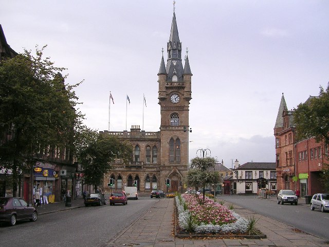
Renfrew

Renfrew (; Scots: Renfrew; Scottish Gaelic: Rinn Friù) is a town 6 miles (10 km) west of Glasgow in the west central Lowlands of Scotland. It is the historic...

Nearby Amenities

Located within 500m of 55.873605,-4.3903652
Post Box
Postal Code: PA4
Ref: PA4 86
Lat/Long: 55.8741746/-4.3897642
Post Box
Postal Code: PA4
Ref: PA4 258
Lat/Long: 55.8723629/-4.3873545
Bus Stop
Bus: yes
Naptan AtcoCode: 6140127
Naptan NaptanCode: 73924383
Public Transport: platform
Lat/Long: 55.8712217/-4.3903251
Bus Stop
Bus: yes
Nat Ref: 6140125
Public Transport: platform
Lat/Long: 55.8694083/-4.39048
Bus Stop
Bus: yes
Nat Ref: 6140129
Public Transport: platform
Lat/Long: 55.8730932/-4.388227
Post Box
Post Box Type: pillar
Postal Code: PA4
Ref: PA4 69
Lat/Long: 55.874019/-4.3945957
Telephone
Booth: KX100
Covered: booth
Lat/Long: 55.8740208/-4.3946205
Crossing
Crossing: traffic_signals
Crossing Island: no
Crossing Ref: puffin
Tactile Paving: no
Lat/Long: 55.8780306/-4.3901961
Telephone
Booth: KX100
Covered: booth
Lat/Long: 55.877933/-4.3902268
Renfrew
Name Be: Рэнфру
Name En: Renfrew
Name Gd: Rinn Friù
Name Ru: Ренфрю
Name Sco: Aranfrew
Name Uk: Ренфрю
Place: town
Wikidata: Q615693
Wikipedia: en:Renfrew
Lat/Long: 55.8775733/-4.3888761
Entrance: yes
Lat/Long: 55.8748104/-4.3939691
Bus Stop
Bus: yes
Public Transport: platform
Shelter: yes
Source: survey; bing
Lat/Long: 55.8781035/-4.3905515
Renfrew Cenotaph
Historic: memorial
Inscription: Names of the soliders lost during the conflicts since the The Great War
Source: survey
Lat/Long: 55.8778841/-4.3890716
Bus Stop
Bench: yes
Bus: yes
Naptan AtcoCode: 6140137
Naptan NaptanCode: 73925235
Public Transport: platform
Shelter: yes
Lat/Long: 55.8768699/-4.3905238
Bus Stop
Bench: yes
Bus: yes
Public Transport: platform
Shelter: yes
Lat/Long: 55.8766914/-4.390561
Bus Stop
Bus: yes
Public Transport: platform
Lat/Long: 55.8758769/-4.3916988
Bus Stop
Bus: yes
Public Transport: platform
Lat/Long: 55.8757646/-4.3921166
Bus Stop
Bus: yes
Public Transport: platform
Lat/Long: 55.8744482/-4.3938933
Bus Stop
Bus: yes
Public Transport: platform
Lat/Long: 55.8742862/-4.3938631
Bus Stop
Bus: yes
Public Transport: platform
Lat/Long: 55.8730036/-4.3954132
Bus Stop
Bus: yes
Naptan AtcoCode: 6140143
Naptan NaptanCode: 73924257
Public Transport: platform
Lat/Long: 55.8717499/-4.3969079
Bus Stop
Bus: yes
Naptan AtcoCode: 6140144
Naptan NaptanCode: 73924624
Public Transport: platform
Lat/Long: 55.8722841/-4.3964885
Traffic Signals
Lat/Long: 55.8741365/-4.3941585
Traffic Signals
Lat/Long: 55.8738885/-4.3944581
Traffic Signals
Lat/Long: 55.8776222/-4.3892822
Loanhead
Place: suburb
Lat/Long: 55.8736426/-4.3913685
Workers Memorial Cairn
Historic: memorial
Lat/Long: 55.8765026/-4.3934067
Entrance: yes
Lat/Long: 55.8752244/-4.3938718
Man Made: monitoring_station
Monitoring Air Quality: yes
Lat/Long: 55.8779126/-4.3901586
Crossing
Crossing: traffic_signals
Lat/Long: 55.8778062/-4.3889672
Topwon
Check Date: 2023-06-03
Cuisine: chinese
Disused Amenity: restaurant
Lat/Long: 55.8779916/-4.3896225
Restaurant
Piccolo Mondo
Check Date: 2023-06-03
Cuisine: italian
Lat/Long: 55.8776666/-4.3889082
The data included in this document is from www.openstreetmap.org. The data is made available under ODbL.

Have you been to Loanhead?

Leave your review of Loanhead below (or comments, questions and feedback).