Coed Garth-byr
Wood, Forest in Merionethshire
Wales
Coed Garth-byr
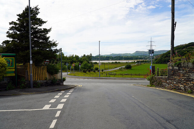
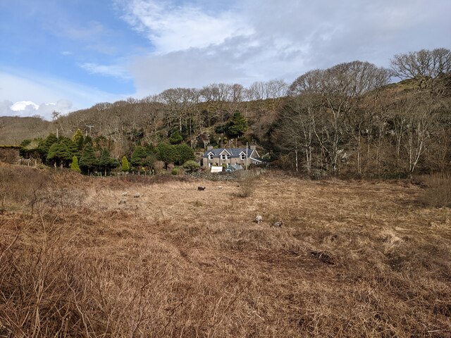
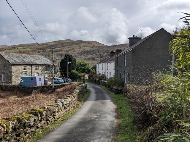
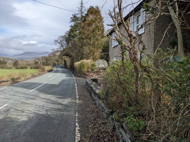
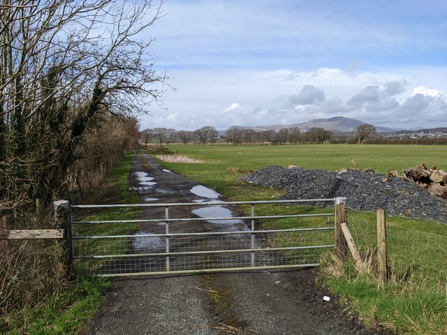
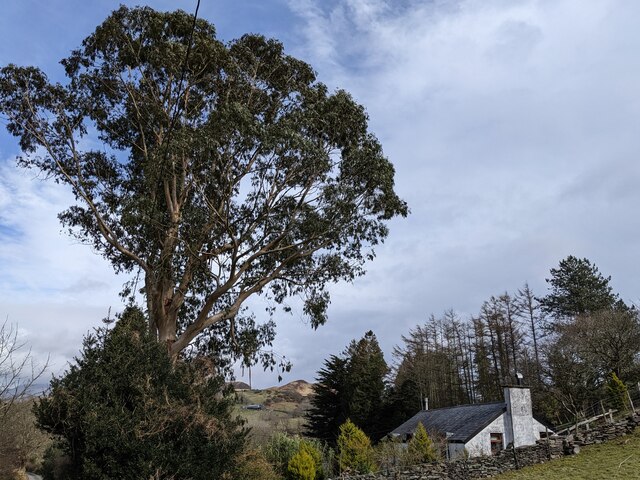
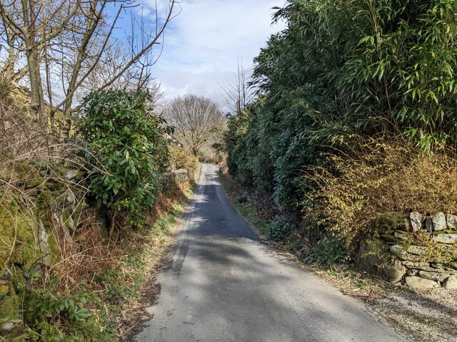
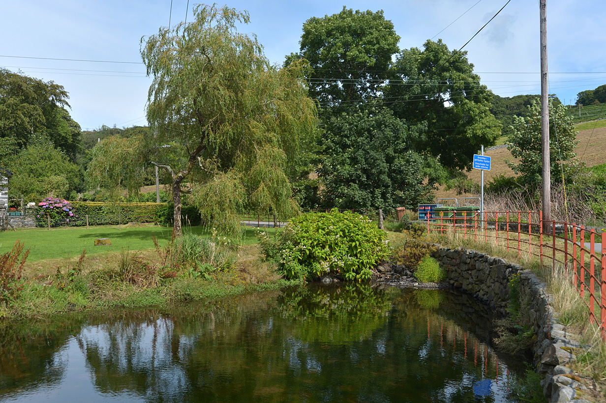
Coed Garth-byr, located in Merionethshire, is a picturesque wood or forest area known for its natural beauty and rich biodiversity. Spread across a vast expanse of land, it offers a serene and tranquil environment, making it a popular destination for nature enthusiasts and hikers alike.
The forest is home to a diverse range of flora and fauna, including ancient oak and beech trees that have stood tall for centuries. The dense canopy provides a habitat for various species of birds, including woodpeckers and owls, as well as small mammals like squirrels and rabbits. The forest floor is adorned with a vibrant array of wildflowers and ferns, creating a stunning visual spectacle during the spring and summer months.
Coed Garth-byr is crisscrossed by a network of well-maintained walking trails, allowing visitors to explore the forest at their own pace. These trails wind through the woods, providing breathtaking views of the surrounding countryside and the distant mountains that form the backdrop.
In addition to its natural beauty, Coed Garth-byr also holds historical significance. The forest has been an important resource for the local community for centuries, providing timber for construction and fuel. This connection to the past is reflected in the remnants of old sawmills and charcoal pits that can still be found within the woods.
Overall, Coed Garth-byr is a haven of tranquility, offering visitors the opportunity to connect with nature, explore its rich biodiversity, and immerse themselves in its natural wonders.
If you have any feedback on the listing, please let us know in the comments section below.
Coed Garth-byr Images
Images are sourced within 2km of 52.90425/-4.0475419 or Grid Reference SH6236. Thanks to Geograph Open Source API. All images are credited.


Coed Garth-byr is located at Grid Ref: SH6236 (Lat: 52.90425, Lng: -4.0475419)
Unitary Authority: Gwynedd
Police Authority: North Wales
What 3 Words
///lifeguard.skirting.clay. Near Penrhyndeudraeth, Gwynedd
Nearby Locations
Related Wikis

Soar, Gwynedd
Soar is a small village or hamlet in Gwynedd, Wales. It is located about 4 miles (6.4 km) northeast of Harlech, close to Talsarnau and Llandecwyn. It has...

Talsarnau
Talsarnau is a village and community in the Ardudwy area of Gwynedd in Wales. Its population was 525 in 2001, and had increased to 550 at the 2011 Census...
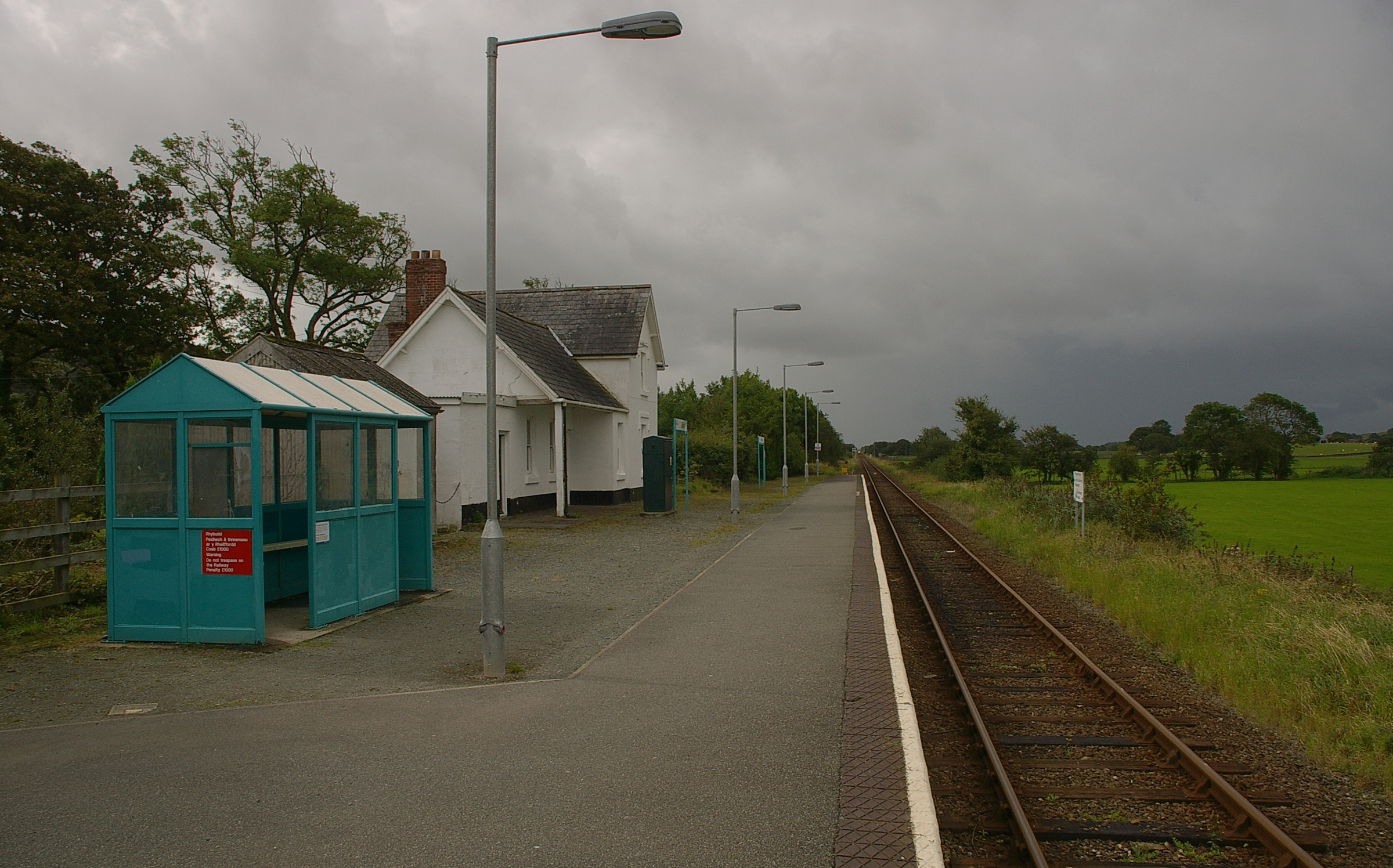
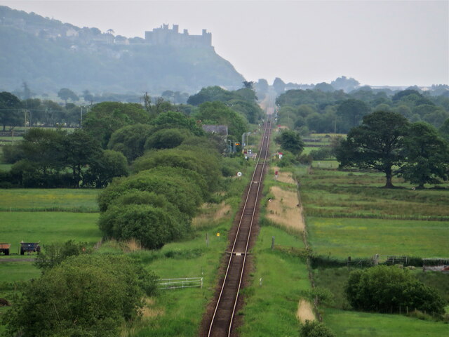
Talsarnau railway station
Talsarnau railway station serves the village of Talsarnau on the estuary of the Afon Dwyryd in Gwynedd, Wales. == Facilities == In early 2015, Talsarnau...

Llandecwyn
Llandecwyn () is a hamlet near Penrhyndeudraeth in Gwynedd, Wales. The bulk of the population (between 40 and 50 houses) is now located around Cilfor close...
Eisingrug
Eisingrug (meaning: a place where corn was winnowed after husking) is a rural hamlet near Harlech, Gwynedd, Wales. It is located to the southeast of Porthmadog...

Llandecwyn railway station
Llandecwyn railway station serves the rural area around Llandecwyn on the estuary of the Afon Dwyryd in Gwynedd, Wales. == History == British Rail requested...

Tygwyn railway station
Tygwyn railway station is located at a level crossing on the A496 between Harlech and Talsarnau near the estuary of the Afon Dwyryd in Gwynedd, Wales....
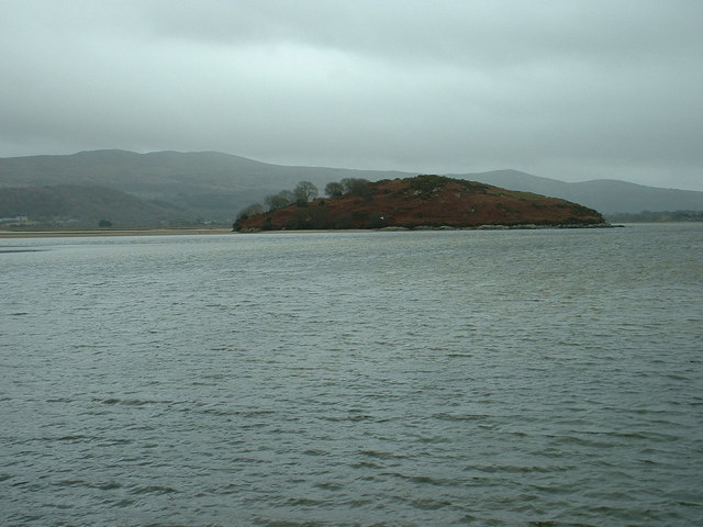
Ynys Gifftan
Ynys Gifftan is an island near the south east shore of Traeth Bach, the Dwyryd estuary near Portmeirion in Gwynedd, north Wales. There is a public footpath...
Related Videos
4B. Holiday Special - a week in Wales!
The other week the Narrowboat Noob crew (me and mum!) were in Wales for a week in a holiday cottage in Talsarnau. These are ...
![[The Sign Hunters] GoPro Quik Story #25 ~ "Around Barcdy caravan park in Llandecwyn" ~ (21.10.2018)](https://i.ytimg.com/vi/Qw3WcdrpBwA/hqdefault.jpg)
[The Sign Hunters] GoPro Quik Story #25 ~ "Around Barcdy caravan park in Llandecwyn" ~ (21.10.2018)
A walk around Barcdy caravan park in Llandecwyn, Wales (21.10.2018) Music credit: GoPro license This film was made by The ...
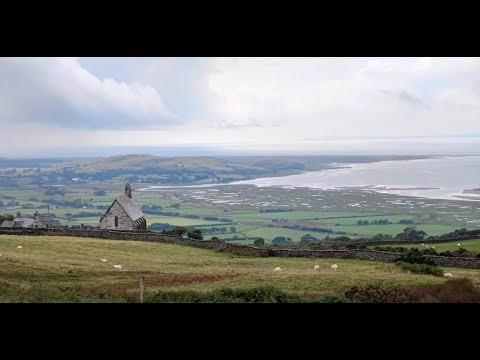
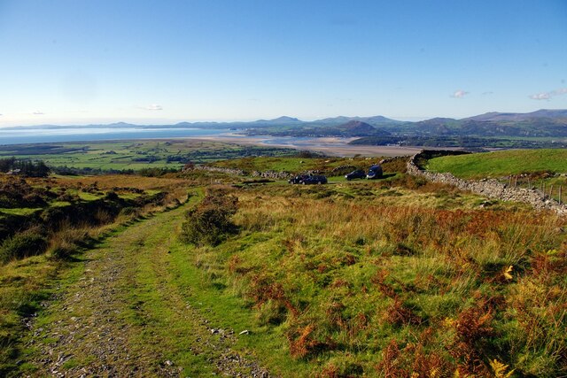
The Hills Above Bryn Bwbach
Views in North Wales.
Nearby Amenities
Located within 500m of 52.90425,-4.0475419Have you been to Coed Garth-byr?
Leave your review of Coed Garth-byr below (or comments, questions and feedback).