Coed Cefn-trefor-fawr
Wood, Forest in Merionethshire
Wales
Coed Cefn-trefor-fawr
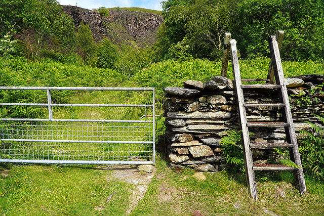
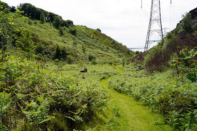
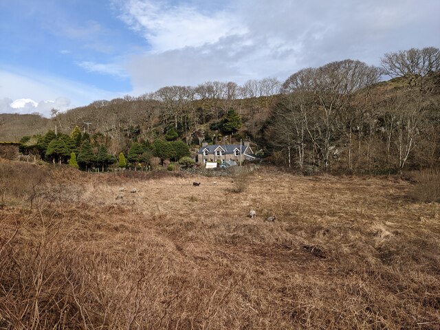
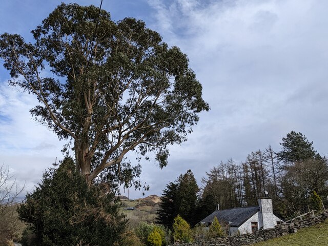
Coed Cefn-trefor-fawr is a picturesque woodland located in Merionethshire, Wales. Situated amidst the beautiful countryside, this enchanting forest covers an area of approximately 200 acres. The name "Cefn-trefor-fawr" translates to "Wood, Forest" in English, perfectly capturing the essence of this natural haven.
The woodland is home to a diverse range of flora and fauna, making it a haven for wildlife enthusiasts and nature lovers. The dense canopy of Coed Cefn-trefor-fawr consists of various tree species, including oak, beech, ash, and birch. These towering trees provide a serene and peaceful atmosphere, making it an ideal destination for walkers, hikers, and those seeking tranquility.
The forest is intersected by numerous footpaths and trails, allowing visitors to explore its beauty at their own pace. As you wander through the woodland, you may encounter a variety of wildlife, such as red squirrels, deer, and a myriad of bird species. The forest also boasts a rich diversity of plant life, with carpets of bluebells and wild garlic adorning the forest floor during the spring season.
Coed Cefn-trefor-fawr offers visitors a chance to immerse themselves in the natural beauty of Wales. Its peaceful atmosphere, coupled with its stunning scenery, makes it a popular destination for photography enthusiasts and artists alike. Whether you are seeking a relaxing walk, a picnic spot, or simply a place to escape the hustle and bustle of everyday life, Coed Cefn-trefor-fawr is a hidden gem waiting to be discovered.
If you have any feedback on the listing, please let us know in the comments section below.
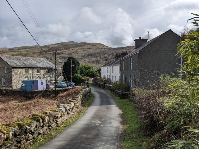
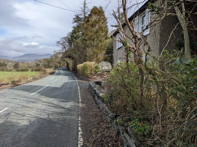
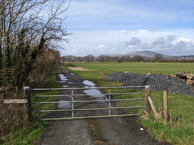
Coed Cefn-trefor-fawr Images
Images are sourced within 2km of 52.91095/-4.0500294 or Grid Reference SH6236. Thanks to Geograph Open Source API. All images are credited.


Coed Cefn-trefor-fawr is located at Grid Ref: SH6236 (Lat: 52.91095, Lng: -4.0500294)
Unitary Authority: Gwynedd
Police Authority: North Wales
What 3 Words
///narrating.statement.amount. Near Penrhyndeudraeth, Gwynedd
Nearby Locations
Related Wikis

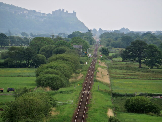
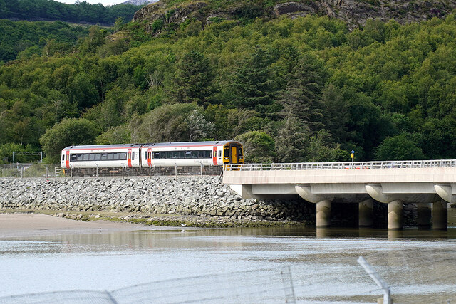
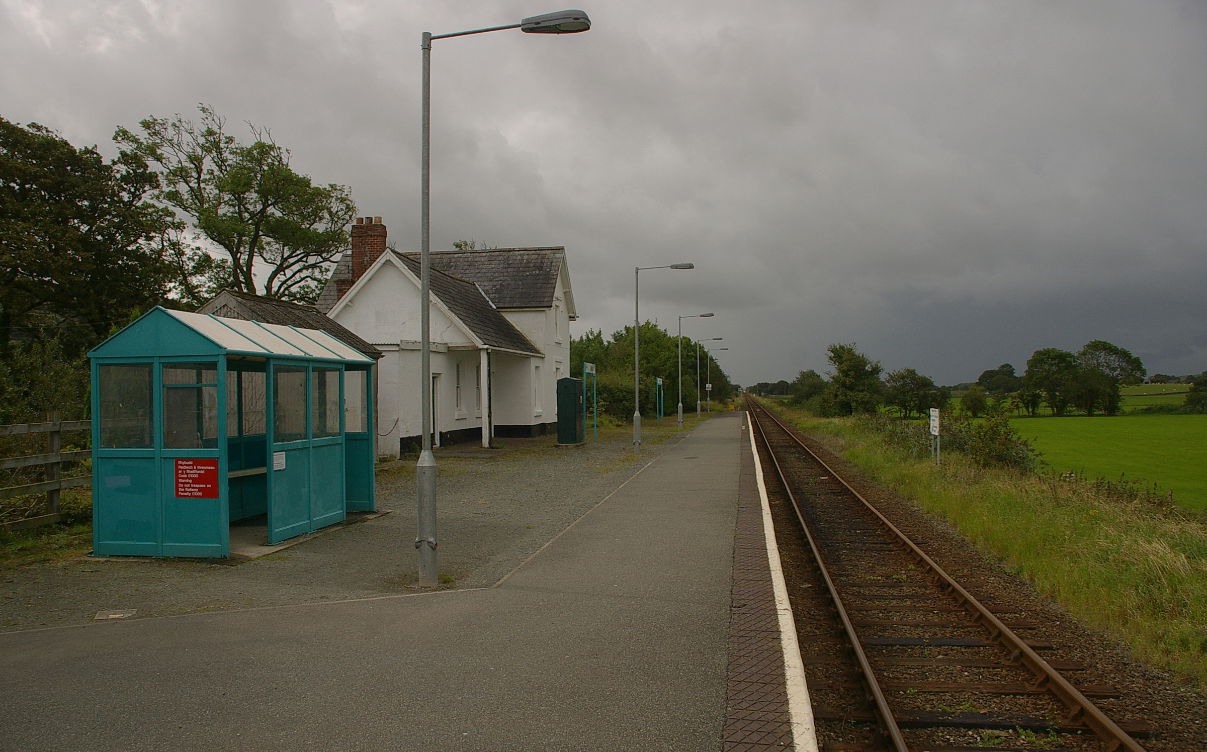
Llandecwyn railway station
Llandecwyn railway station serves the rural area around Llandecwyn on the estuary of the Afon Dwyryd in Gwynedd, Wales. == History == British Rail requested...

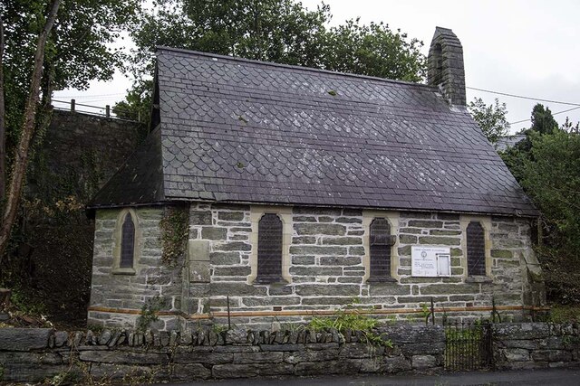
Llandecwyn
Llandecwyn () is a hamlet near Penrhyndeudraeth in Gwynedd, Wales. The bulk of the population (between 40 and 50 houses) is now located around Cilfor close...

Talsarnau
Talsarnau is a village and community in the Ardudwy area of Gwynedd in Wales. Its population was 525 in 2001, and had increased to 550 at the 2011 Census...
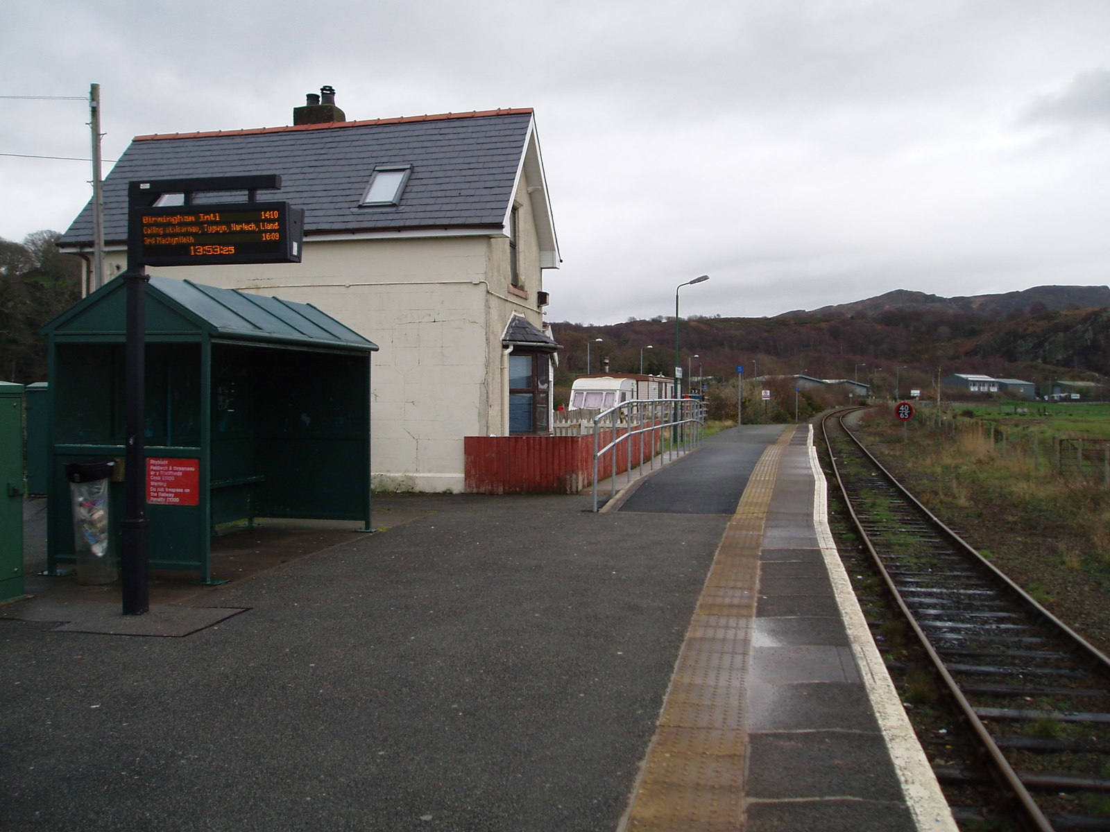
Talsarnau railway station
Talsarnau railway station serves the village of Talsarnau on the estuary of the Afon Dwyryd in Gwynedd, Wales. == Facilities == In early 2015, Talsarnau...

Soar, Gwynedd
Soar is a small village or hamlet in Gwynedd, Wales. It is located about 4 miles (6.4 km) northeast of Harlech, close to Talsarnau and Llandecwyn. It has...
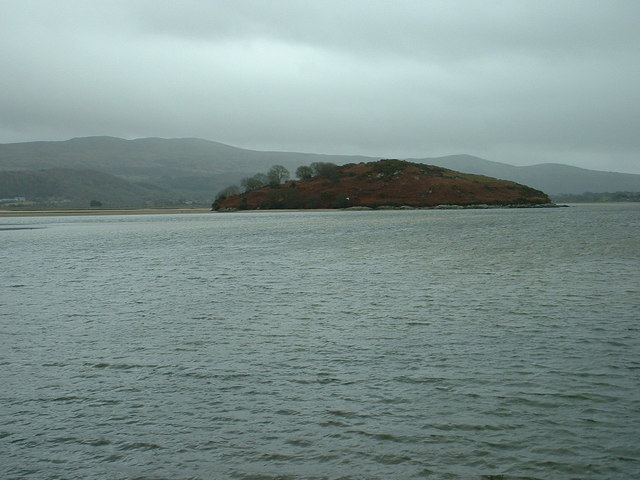
Ynys Gifftan
Ynys Gifftan is an island near the south east shore of Traeth Bach, the Dwyryd estuary near Portmeirion in Gwynedd, north Wales. There is a public footpath...
Penrhyndeudraeth railway station
Penrhyndeudraeth railway station is a railway station serving the small town of Penrhyndeudraeth on the Dwyryd Estuary in Gwynedd, Wales. It is a station...

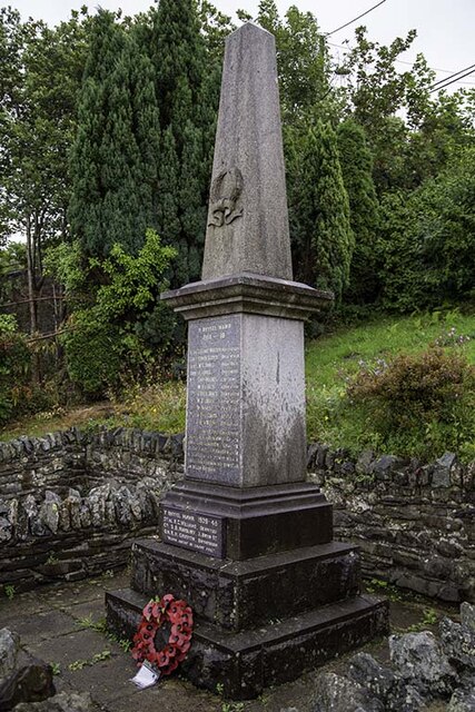
Penrhyndeudraeth
Penrhyndeudraeth ( pen-rin-DYED-rəth, Welsh pronunciation: [pɛnr̥ɨnˈdeɨdraːɨθ] ; lit. 'peninsula with two beaches') is a small town and community in the...
Nearby Amenities
Located within 500m of 52.91095,-4.0500294Have you been to Coed Cefn-trefor-fawr?
Leave your review of Coed Cefn-trefor-fawr below (or comments, questions and feedback).