Building Covert

Wood, Forest in Cardiganshire

Wales

Building Covert

Pwllcenawon: Capel Seion Gathering grass, with kites wheeling overhead. From the Vale of Rheidol railway.
Pwllcenawon: Capel Seion Credit: Dylan Moore

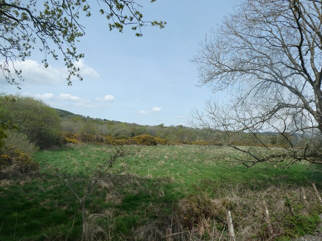
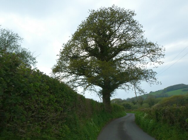
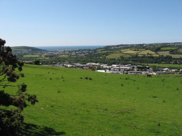
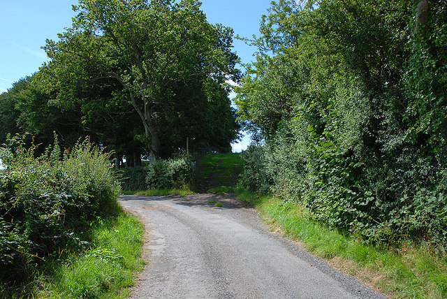
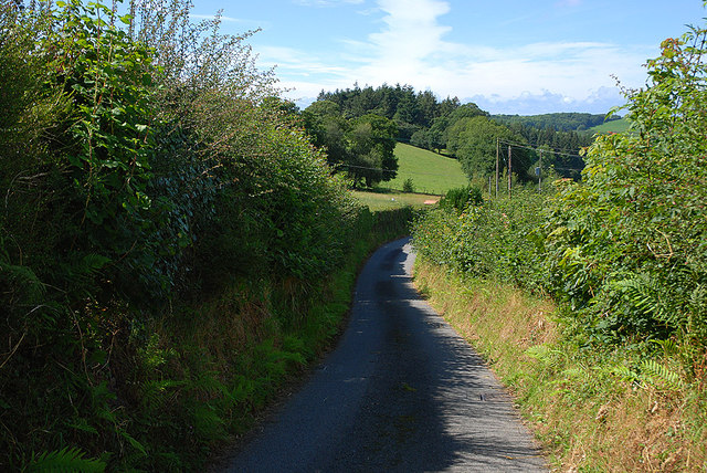
Building Covert is a picturesque woodland located in Cardiganshire, Wales. Covering an area of approximately 100 acres, this woodland is known for its lush greenery and abundant wildlife. The woodland is predominantly made up of various species of trees, with oak, beech, and ash being the most prominent. These towering trees create a dense canopy that provides a cool and tranquil atmosphere, making it a popular destination for nature enthusiasts and hikers.

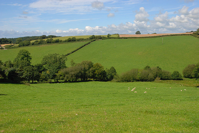
Walking through Building Covert, one can experience the soothing sounds of birds chirping and leaves rustling in the wind. The forest floor is carpeted with a vibrant assortment of wildflowers, adding pops of color to the verdant surroundings. The woodland is intersected by a meandering stream, which adds to its natural beauty and provides a watering hole for the diverse range of wildlife that calls this place home.

Animal enthusiasts will be delighted to spot various species in Building Covert, including deer, foxes, badgers, and a variety of bird species such as woodpeckers and owls. The woodland also serves as a habitat for a diverse array of insects and small mammals, contributing to the overall biodiversity of the area.

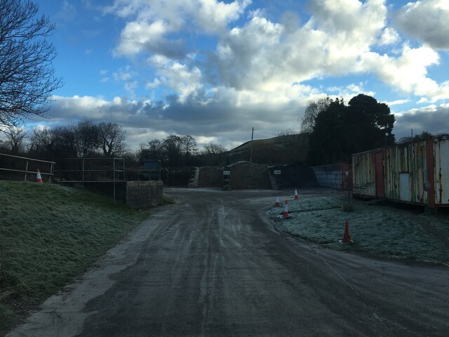
Building Covert offers several well-maintained walking trails, allowing visitors to explore the woodland at their own pace. These trails provide opportunities to enjoy the peaceful surroundings, observe the wildlife, and appreciate the beauty of nature. The woodland is also equipped with picnic areas, making it an ideal spot for a day out with family or friends.

In summary, Building Covert in Cardiganshire is a captivating woodland that offers a serene and refreshing experience for nature lovers. With its abundant vegetation, diverse wildlife, and well-marked trails, it is a haven for those seeking solace in the midst of nature.

If you have any feedback on the listing, please let us know in the comments section below.

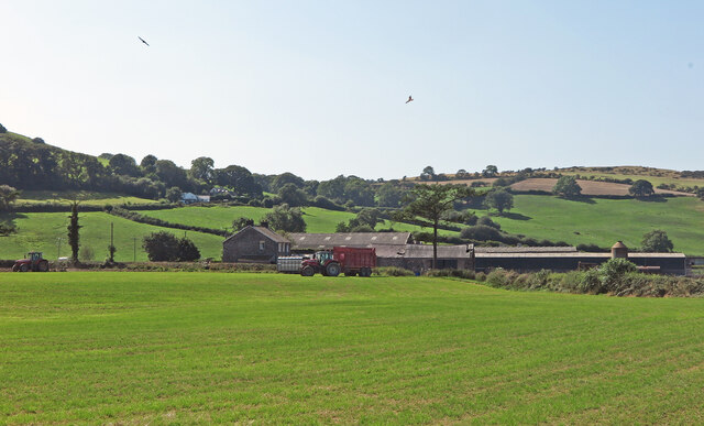
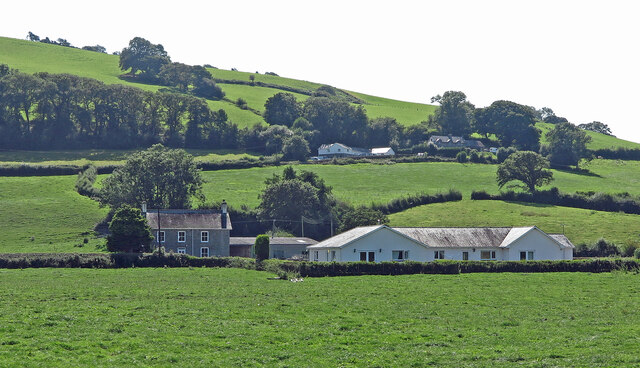
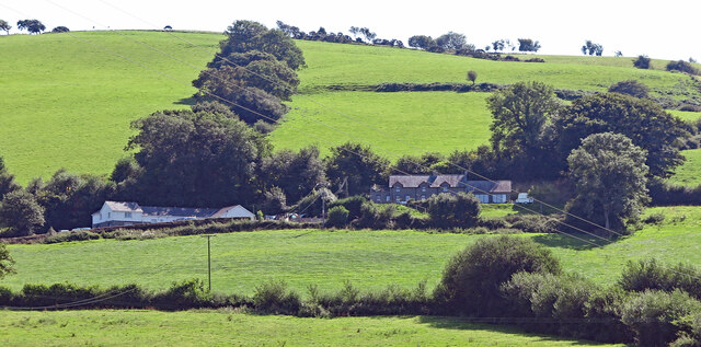
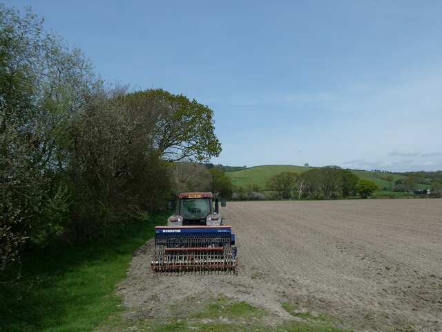
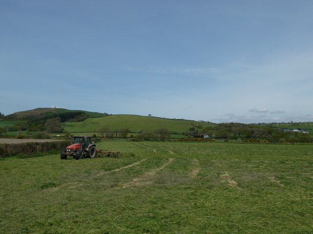
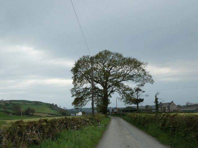
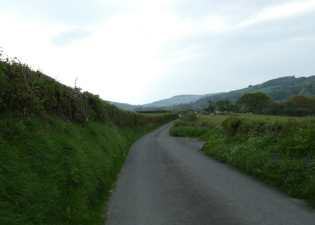
Building Covert Images

Images are sourced within 2km of 52.389818/-4.0209235 or Grid Reference SN6278. Thanks to Geograph Open Source API. All images are credited.

Pwllcenawon: Capel Seion Gathering grass, with kites wheeling overhead. From the Vale of Rheidol railway.
Pwllcenawon: Capel Seion
Gathering grass, with kites wheeling overhead. From the Vale of Rheidol railway.
Pwllcenawon: Capel Seion
Tre'r-ing: Capel Seion Most OS editions spell it thus, but I can't find "ring", "ing" or "ging" in the Welsh Dictionary. Further up the hill is Pwll-clai.
Tre'r-ing: Capel Seion
Most OS editions spell it thus, but I can't find "ring", "ing" or "ging" in the Welsh Dictionary. Further up the hill is Pwll-clai.
Pwll-clai: Capel Seion
Marsh and scrub between railway and river, Vale of Rheidol Railway The Vale of Rheidol Railway (Rheilffordd Cwm Rheidol) is a 1 ft 11 ¾  in narrow gauge heritage railway that runs for 11 ¾ miles between the coast at Aberystwyth and Devil's Bridge in the Cambrian Mountains.

The line opened in 1902 to carry lead ore, timber and passenger traffic. At the time of building, it was of the most up to date standard of narrow gauge construction, and passed through terrain where it would have been almost impossible to build a standard gauge line without prohibitive costs. The narrow track gauge allows the railway to follow the contours of the hillside with many sharp curves and steep gradients which add to the railway's charm.

At the height of the lines prosperity, in 1912, consideration was given to converting the line to electric traction, using hydro-electric power from the River Rheidol. However, control of the line passed to the Cambrian Railways in the same year and plans were shelved. Following the Great War, a decline in mine traffic was balanced somewhat by a growing tourist trade. In 1923 Cambrian Railways were themselves absorbed by the Great Western Railway and goods services were withdrawn completely, and the harbour branch at Aberystwyth closed. The winter passenger service was withdrawn in 1930, and the line closed completely from the end of the 1939 summer service for the duration of the Second World War. Ownership of the line passed to British Railways in 1948, and it survived through threats of closure to become the last sole steam-operated railway operated by British Rail; steam traction having ceased in 1968 on all other parts of the network.

The railway is now owned by a charitable trust. The locomotives and carriages currently in use were built for the line by the Great Western Railway between 1923 and 1938.

<span class="nowrap"><a title="http://www.rheidolrailway.co.uk/index.htm" rel="nofollow ugc noopener" href="http://www.rheidolrailway.co.uk/index.htm">Link</a><img style="margin-left:2px;" alt="External link" title="External link - shift click to open in new window" src="https://s1.geograph.org.uk/img/external.png" width="10" height="10"/></span>  Vale of Rheidol railway website
Marsh and scrub between railway and river, Vale of Rheidol Railway
The Vale of Rheidol Railway (Rheilffordd Cwm Rheidol) is a 1 ft 11 ¾ in narrow gauge heritage railway that runs for 11 ¾ miles between the coast at Aberystwyth and Devil's Bridge in the Cambrian Mountains. The line opened in 1902 to carry lead ore, timber and passenger traffic. At the time of building, it was of the most up to date standard of narrow gauge construction, and passed through terrain where it would have been almost impossible to build a standard gauge line without prohibitive costs. The narrow track gauge allows the railway to follow the contours of the hillside with many sharp curves and steep gradients which add to the railway's charm. At the height of the lines prosperity, in 1912, consideration was given to converting the line to electric traction, using hydro-electric power from the River Rheidol. However, control of the line passed to the Cambrian Railways in the same year and plans were shelved. Following the Great War, a decline in mine traffic was balanced somewhat by a growing tourist trade. In 1923 Cambrian Railways were themselves absorbed by the Great Western Railway and goods services were withdrawn completely, and the harbour branch at Aberystwyth closed. The winter passenger service was withdrawn in 1930, and the line closed completely from the end of the 1939 summer service for the duration of the Second World War. Ownership of the line passed to British Railways in 1948, and it survived through threats of closure to become the last sole steam-operated railway operated by British Rail; steam traction having ceased in 1968 on all other parts of the network. The railway is now owned by a charitable trust. The locomotives and carriages currently in use were built for the line by the Great Western Railway between 1923 and 1938. LinkExternal link Vale of Rheidol railway website
Harrowing a field by Afon Rheidol
Turning the cut grass, valley of Afon Rheidol
Tree by road at Pwll-cenawon
Road near Glasgrug
Road near Glasgrug
Tree by road near Glanyrafon station
Yard for TG Concrete, Aberystwyth
View towards Aberystwyth
End of public road at Molecatcher's Wood From here on, the surfaced road continues as a private road to Pencraig. The lane ahead in shadow is "a route with public access".
End of public road at Molecatcher's Wood
From here on, the surfaced road continues as a private road to Pencraig. The lane ahead in shadow is "a route with public access".
Dead-end road past Gors-isaf Giving access to the valley north west of New Cross.
Dead-end road past Gors-isaf
Giving access to the valley north west of New Cross.
Fields north west of New Cross Prime Cardiganshire farmland. The prevalence of names including Gors here suggest that that the valley is boggy, but the only wet part seems to be down at the bottom. Looking down a line which is just a metre or so inside the square.
Fields north west of New Cross
Prime Cardiganshire farmland. The prevalence of names including Gors here suggest that that the valley is boggy, but the only wet part seems to be down at the bottom. Looking down a line which is just a metre or so inside the square.
Part of Rhos-Lawdden farm, Moriah near Capel Seion One of those hard working old upland farms.
Part of Rhos-Lawdden farm, Moriah near Capel Seion
One of those hard working old upland farms.
The eponymous Capel Seion
Capel Moriah, in Moriah
Show me another place!

Building Covert is located at Grid Ref: SN6278 (Lat: 52.389818, Lng: -4.0209235)

Unitary Authority: Ceredigion

Police Authority: Dyfed Powys

What 3 Words

///spud.engineers.natural. Near Llanilar, Ceredigion

Related Wikis

Nanteos Mansion

Nanteos (Welsh: Plas Nanteos, Nanteos Mansion) is an 18th-century former country house in Llanbadarn-y-Creuddyn, near Aberystwyth, Ceredigion, Wales. A...
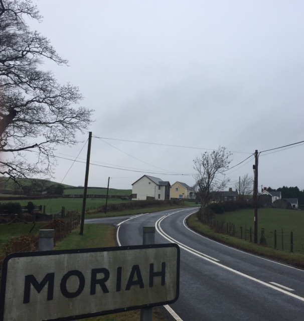
Moriah, Ceredigion

Moriah is a hamlet in the community of Llanfarian, Ceredigion, Wales, which is 73 miles (117.4 km) from Cardiff and 177.1 miles (285 km) from London. Moriah...

Y Gors, Ceredigion

Y Gors is a hamlet in the community of Trawsgoed, Ceredigion, Wales, which is 71.5 miles (115.1 km) from Cardiff and 176.1 miles (283.4 km) from London...

Glanyrafon railway station

Glanyrafon railway station (formerly Glanrafon) is a railway station serving Glanyrafon in Ceredigion in Mid-Wales. It is a request stop on the preserved...

Nearby Amenities

Located within 500m of 52.389818,-4.0209235
Direction: SSE
Generator Method: photovoltaic
Generator Output Electricity: yes
Generator Solar Modules: 5
Generator Source: solar
Generator Type: solar_photovoltaic_panel
Location: roof
Power: generator
Lat/Long: 52.3890905/-4.0222058
Direction: SSE
Generator Method: photovoltaic
Generator Output Electricity: yes
Generator Solar Modules: 5
Generator Source: solar
Generator Type: solar_photovoltaic_panel
Location: roof
Power: generator
Lat/Long: 52.3891224/-4.0220623
The data included in this document is from www.openstreetmap.org. The data is made available under ODbL.

Have you been to Building Covert?

Leave your review of Building Covert below (or comments, questions and feedback).