Coed Tamsin
Wood, Forest in Cardiganshire
Wales
Coed Tamsin
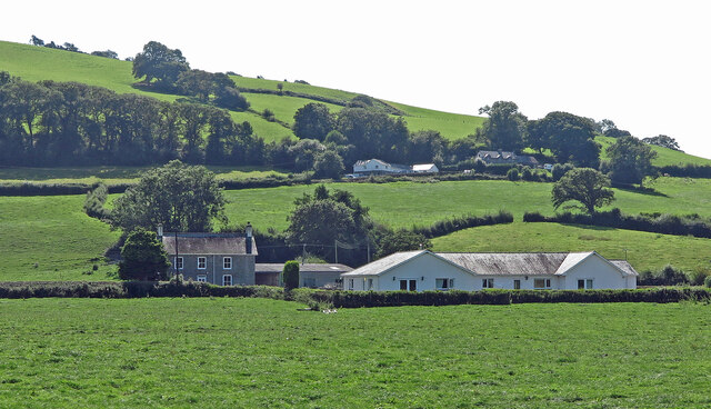
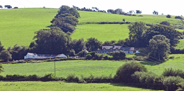
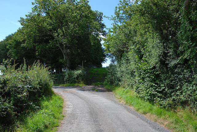
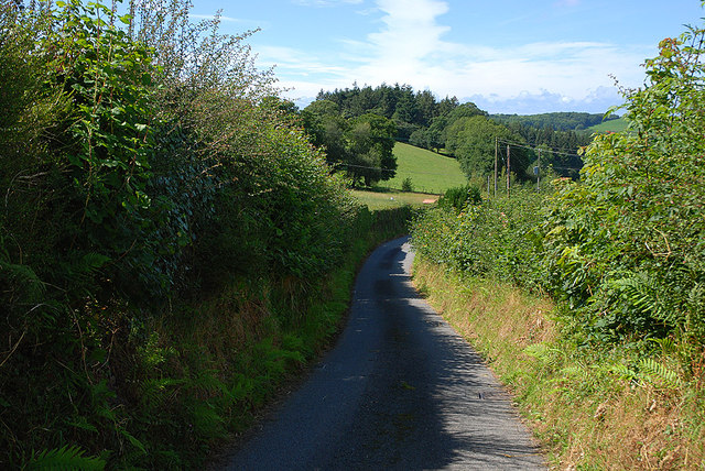
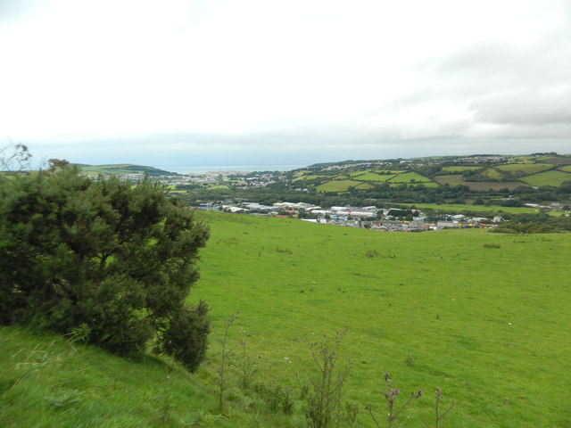
Coed Tamsin is a picturesque woodland located in Cardiganshire, Wales. Covering a vast area, it is often referred to as the "Forest of Coed Tamsin." This woodland is known for its natural beauty and diverse ecosystem, attracting nature enthusiasts and hikers alike.
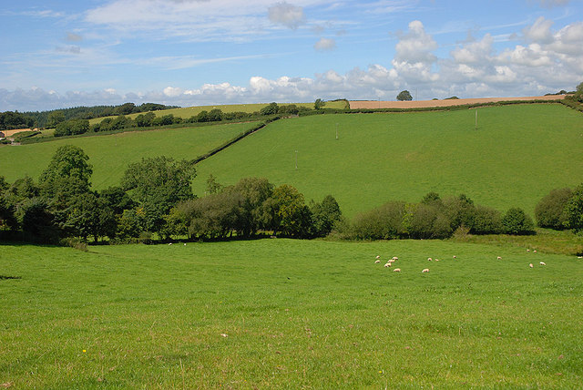
The forest is predominantly made up of dense deciduous trees, such as oak, ash, and beech. These towering trees create a lush canopy that provides shade and shelter for a rich variety of wildlife. Coed Tamsin is home to numerous bird species, including woodpeckers, owls, and various songbirds. The forest floor is also teeming with smaller creatures like squirrels, rabbits, and foxes.
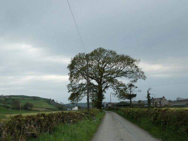
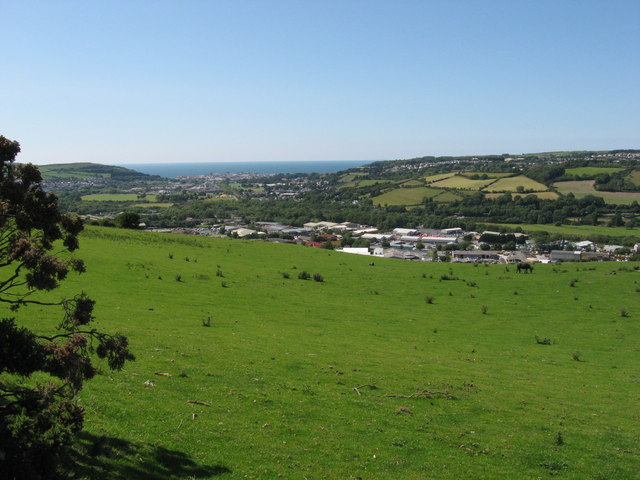
Visitors to Coed Tamsin can explore a network of well-maintained walking trails that wind their way through the woodland. These trails offer stunning views of the surrounding landscape, including meandering streams and gentle rolling hills. There are also picnic areas and rest spots along the way, allowing visitors to take a break and soak in the serene atmosphere.
In addition to its natural beauty, Coed Tamsin has cultural significance as well. The woodland has been a part of the local community for centuries, with folklore and legends woven into its history. It is not uncommon to find ancient ruins or standing stones hidden amongst the trees, adding a touch of mystery to the experience.
Overall, Coed Tamsin is a captivating forest that offers a tranquil escape from the hustle and bustle of everyday life. Its natural splendor, diverse wildlife, and cultural heritage make it a must-visit destination for nature lovers and those seeking a serene retreat.
If you have any feedback on the listing, please let us know in the comments section below.
Coed Tamsin Images
Images are sourced within 2km of 52.387504/-4.0184518 or Grid Reference SN6278. Thanks to Geograph Open Source API. All images are credited.

Coed Tamsin is located at Grid Ref: SN6278 (Lat: 52.387504, Lng: -4.0184518)
Unitary Authority: Ceredigion
Police Authority: Dyfed Powys
What 3 Words
///blazers.joyously.promising. Near Llanilar, Ceredigion
Nearby Locations
Related Wikis

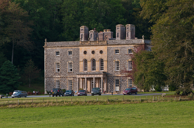
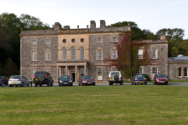
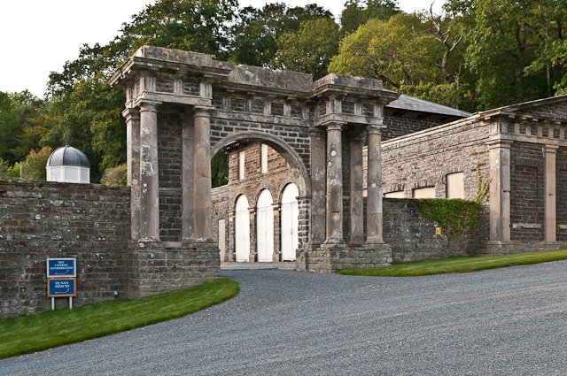
Nanteos Mansion
Nanteos (Welsh: Plas Nanteos, Nanteos Mansion) is an 18th-century former country house in Llanbadarn-y-Creuddyn, near Aberystwyth, Ceredigion, Wales. A...
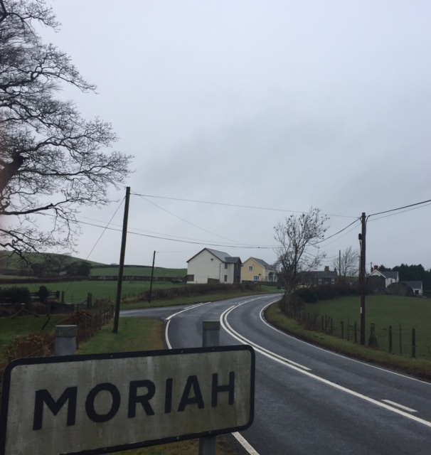
Moriah, Ceredigion
Moriah is a hamlet in the community of Llanfarian, Ceredigion, Wales, which is 73 miles (117.4 km) from Cardiff and 177.1 miles (285 km) from London. Moriah...

Y Gors, Ceredigion
Y Gors is a hamlet in the community of Trawsgoed, Ceredigion, Wales, which is 71.5 miles (115.1 km) from Cardiff and 176.1 miles (283.4 km) from London...

Glanyrafon railway station
Glanyrafon railway station (formerly Glanrafon) is a railway station serving Glanyrafon in Ceredigion in Mid-Wales. It is a request stop on the preserved...
Nearby Amenities
Located within 500m of 52.387504,-4.0184518Have you been to Coed Tamsin?
Leave your review of Coed Tamsin below (or comments, questions and feedback).