Target Covert
Wood, Forest in Cardiganshire
Wales
Target Covert
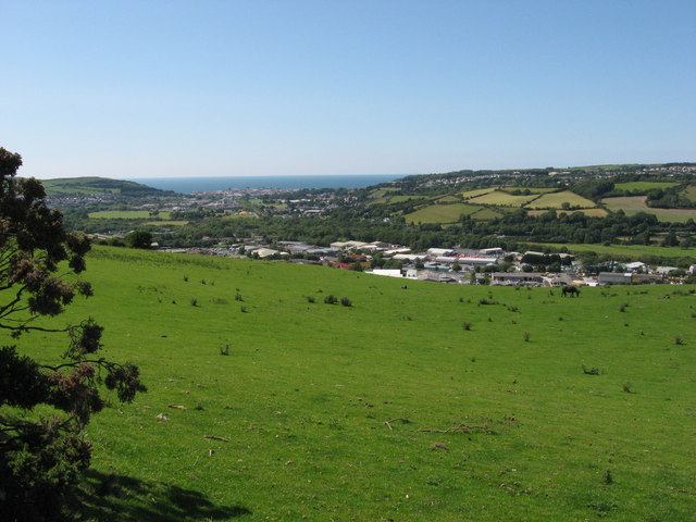
Target Covert is a serene woodland located in Cardiganshire, Wales. Covering an area of approximately 50 acres, this enchanting forest is a haven for nature enthusiasts and outdoor adventurers. Nestled amidst the picturesque countryside, Target Covert offers a unique blend of tranquility and natural beauty.
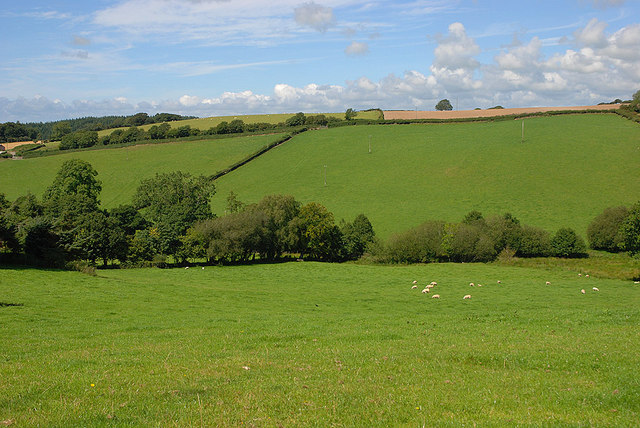
The woodland is predominantly composed of oak, beech, and birch trees, creating a dense canopy that provides shade during the summer months and a kaleidoscope of colors during the autumn season. The forest floor is adorned with a diverse array of flora, including bluebells, wood sorrel, and wild garlic, adding to the magical ambiance of the area.
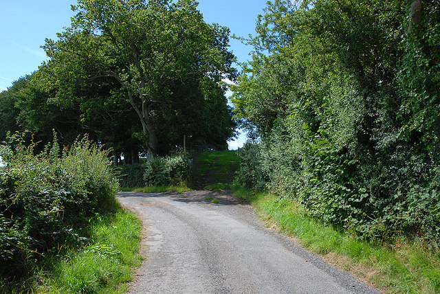
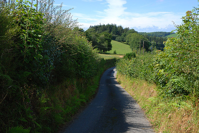
Visitors to Target Covert can explore the woodland through a network of well-maintained trails, allowing for leisurely walks or more adventurous hikes. The trails wind through the forest, offering glimpses of wildlife such as deer, foxes, and a variety of bird species. Nature photographers will find ample opportunities to capture stunning shots of the forest's inhabitants amidst the lush greenery.
For those seeking a more immersive experience, camping facilities are available within the woodland. Camping permits can be obtained, allowing visitors to spend the night under the starlit sky, surrounded by the peaceful sounds of nature.
Target Covert is also a popular destination for educational outings and field trips. Local schools often organize trips to the woodland to teach children about the importance of conservation, biodiversity, and the wonders of the natural world.
In summary, Target Covert in Cardiganshire is a captivating woodland retreat, offering visitors a chance to reconnect with nature, explore scenic trails, and revel in the tranquility of the Welsh countryside.
If you have any feedback on the listing, please let us know in the comments section below.
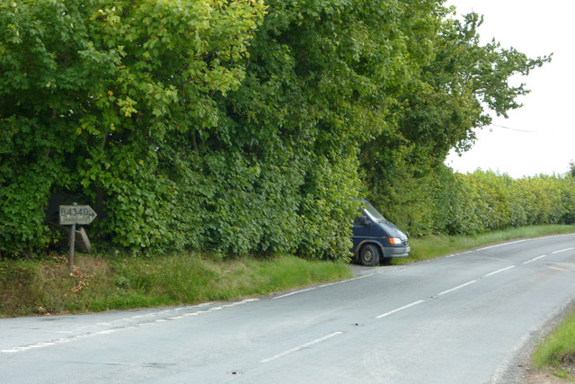
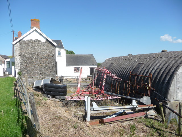
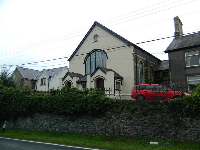
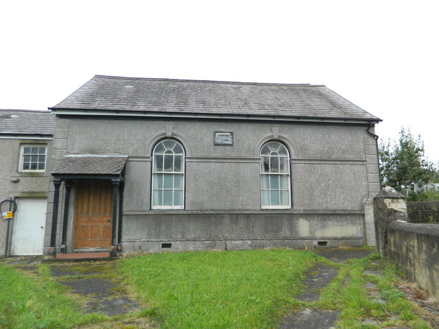
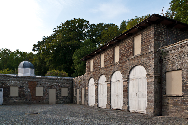
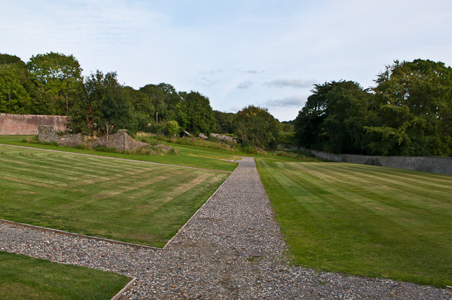
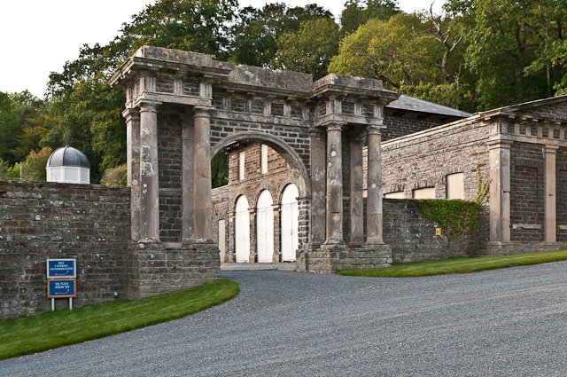
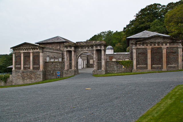
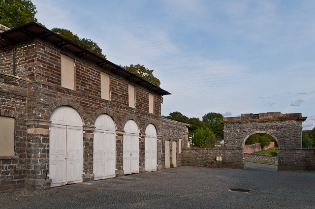
Target Covert Images
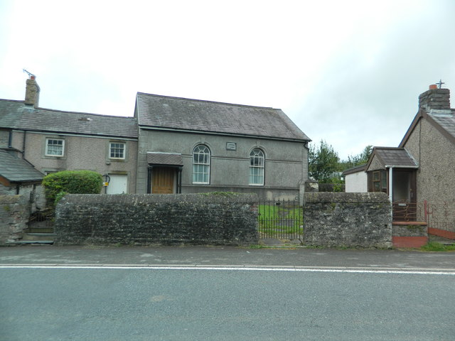
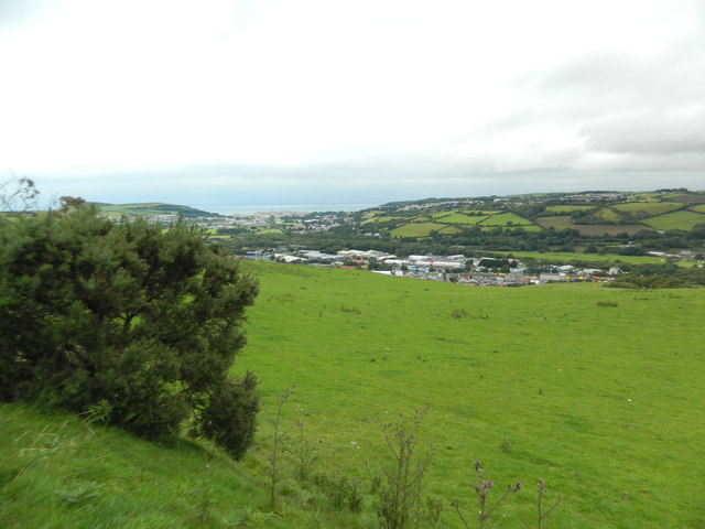
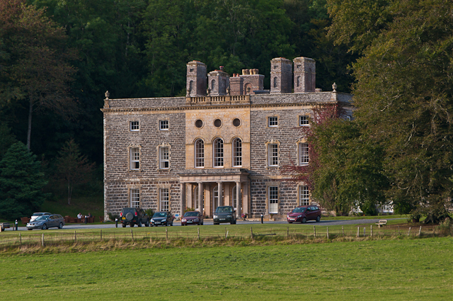
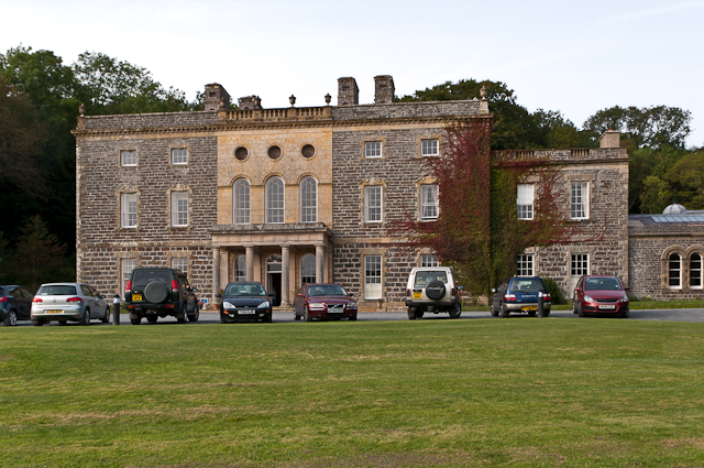
Images are sourced within 2km of 52.384084/-4.025981 or Grid Reference SN6278. Thanks to Geograph Open Source API. All images are credited.
Target Covert is located at Grid Ref: SN6278 (Lat: 52.384084, Lng: -4.025981)
Unitary Authority: Ceredigion
Police Authority: Dyfed Powys
What 3 Words
///rules.rocked.neat. Near Llanilar, Ceredigion
Nearby Locations
Related Wikis

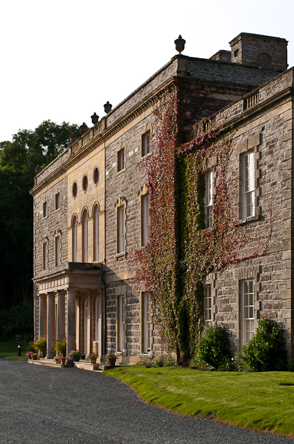
Nanteos Mansion
Nanteos (Welsh: Plas Nanteos, Nanteos Mansion) is an 18th-century former country house in Llanbadarn-y-Creuddyn, near Aberystwyth, Ceredigion, Wales. A...

Y Gors, Ceredigion
Y Gors is a hamlet in the community of Trawsgoed, Ceredigion, Wales, which is 71.5 miles (115.1 km) from Cardiff and 176.1 miles (283.4 km) from London...
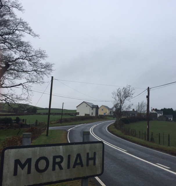
Moriah, Ceredigion
Moriah is a hamlet in the community of Llanfarian, Ceredigion, Wales, which is 73 miles (117.4 km) from Cardiff and 177.1 miles (285 km) from London. Moriah...

Pont Paith
Pont Paith is a hamlet in the community of Llanfarian, Ceredigion, Wales, 73 miles (117.5 km) from Cardiff and 177.9 miles (286.2 km) from London. Pont...
Have you been to Target Covert?
Leave your review of Target Covert below (or comments, questions and feedback).