Sawmill Dingle
Valley in Cardiganshire
Wales
Sawmill Dingle
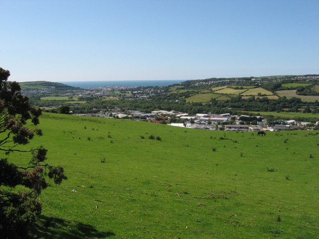
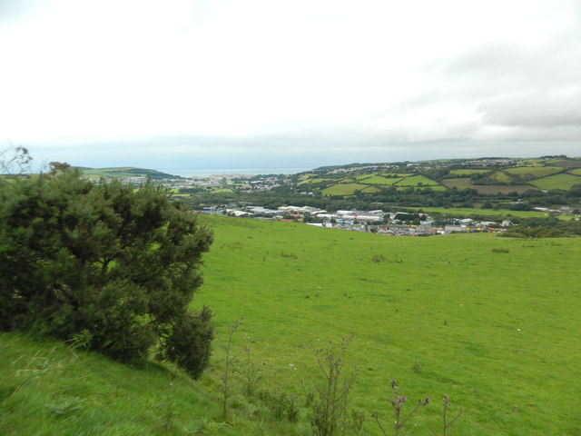
Sawmill Dingle is a picturesque valley located in Cardiganshire, a county in Wales, United Kingdom. Nestled amidst the stunning natural beauty of the Welsh countryside, this enchanting dingle is a haven for nature lovers and outdoor enthusiasts alike.
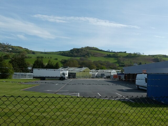
The valley is named after the historic sawmill that once operated in the area, giving it a unique charm and historical significance. The remnants of the sawmill can still be seen, adding to the area's character and serving as a reminder of its industrial past.
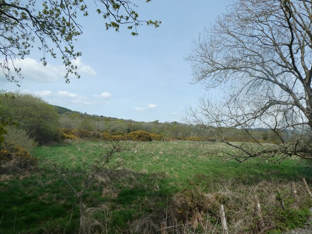
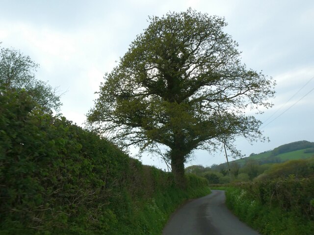
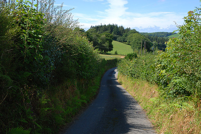
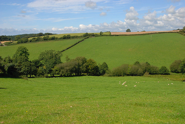
Sawmill Dingle is renowned for its lush greenery, towering trees, and meandering streams. The valley is home to a diverse range of flora and fauna, making it a popular spot for birdwatching and wildlife observation. Visitors can often spot various species of birds, including the elusive red kite, as well as mammals like foxes and rabbits.
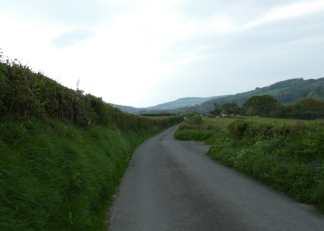
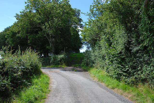
The dingle offers several walking trails and pathways, allowing visitors to immerse themselves in the tranquility of the surroundings. Hiking through Sawmill Dingle provides breathtaking views of the rolling hills and the meandering river that flows through the valley.
For those seeking a peaceful retreat, Sawmill Dingle offers a sense of seclusion and escape from the hustle and bustle of everyday life. The valley provides an idyllic setting for picnics, photography, and simply soaking in the natural beauty.
Overall, Sawmill Dingle in Cardiganshire is a hidden gem, offering a slice of paradise for nature enthusiasts and a welcome respite for those seeking solace in the midst of nature's splendor.
If you have any feedback on the listing, please let us know in the comments section below.
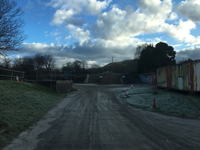
Sawmill Dingle Images
Images are sourced within 2km of 52.389531/-4.026642 or Grid Reference SN6278. Thanks to Geograph Open Source API. All images are credited.
Sawmill Dingle is located at Grid Ref: SN6278 (Lat: 52.389531, Lng: -4.026642)
Unitary Authority: Ceredigion
Police Authority: Dyfed Powys
What 3 Words
///crusaders.packet.overgrown. Near Penparcau, Ceredigion
Nearby Locations
Related Wikis

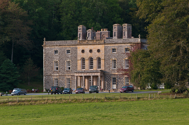
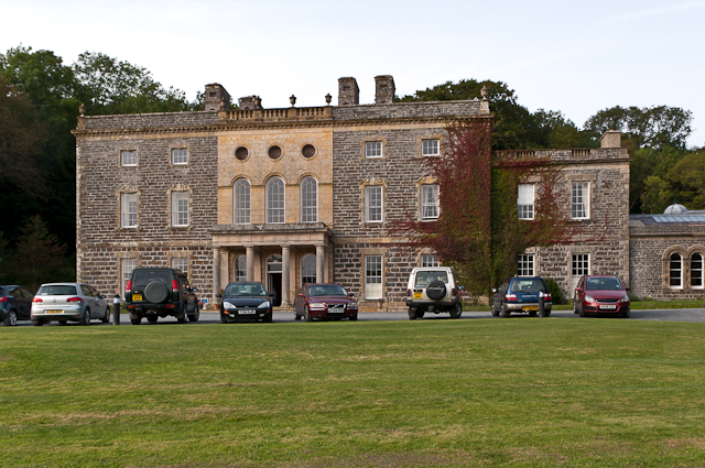
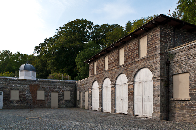
Nanteos Mansion
Nanteos (Welsh: Plas Nanteos, Nanteos Mansion) is an 18th-century former country house in Llanbadarn-y-Creuddyn, near Aberystwyth, Ceredigion, Wales. A...
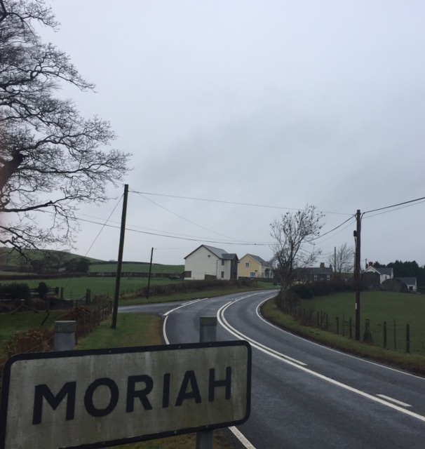
Moriah, Ceredigion
Moriah is a hamlet in the community of Llanfarian, Ceredigion, Wales, which is 73 miles (117.4 km) from Cardiff and 177.1 miles (285 km) from London. Moriah...

Y Gors, Ceredigion
Y Gors is a hamlet in the community of Trawsgoed, Ceredigion, Wales, which is 71.5 miles (115.1 km) from Cardiff and 176.1 miles (283.4 km) from London...

Pont Paith
Pont Paith is a hamlet in the community of Llanfarian, Ceredigion, Wales, 73 miles (117.5 km) from Cardiff and 177.9 miles (286.2 km) from London. Pont...
Nearby Amenities
Located within 500m of 52.389531,-4.026642Have you been to Sawmill Dingle?
Leave your review of Sawmill Dingle below (or comments, questions and feedback).