Coed Bryn-Meurig

Wood, Forest in Caernarfonshire

Wales

Coed Bryn-Meurig

Electrical cabinet on Bangor Road, Bethesda
Electrical cabinet on Bangor Road, Bethesda Credit: Meirion

Coed Bryn-Meurig is a picturesque woodland located in Caernarfonshire, Wales. Spanning over several acres, it is nestled in the beautiful countryside, offering a serene and tranquil environment for nature lovers and outdoor enthusiasts alike.

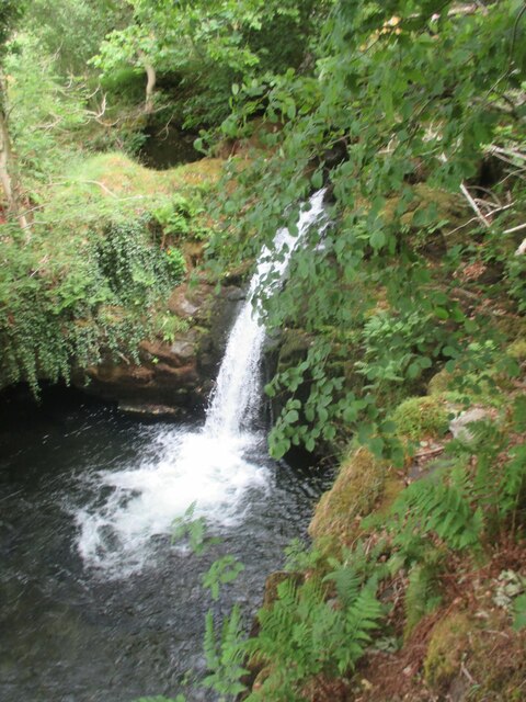
The woodland boasts a diverse range of tree species, including oak, beech, ash, and birch. These majestic trees provide a dense canopy that filters sunlight, creating a cool and shaded atmosphere underneath. The forest floor is adorned with a carpet of wildflowers, adding bursts of color to the surroundings.

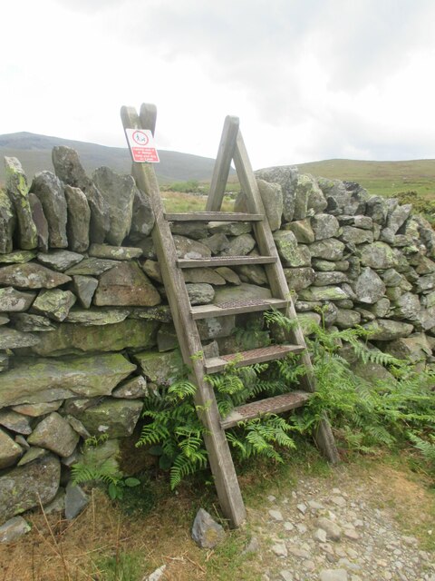
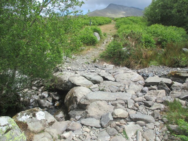
A network of well-maintained footpaths meanders through Coed Bryn-Meurig, allowing visitors to explore the woodland's hidden treasures. As one walks along these paths, they may encounter various wildlife species, such as squirrels, rabbits, and an array of bird species. The woodland is also home to a thriving population of butterflies and other insects.

Coed Bryn-Meurig is a popular destination for outdoor activities such as hiking, birdwatching, and photography. The enchanting scenery and peaceful ambiance make it an ideal location for nature enthusiasts seeking an escape from the hustle and bustle of urban life.

In addition to its natural beauty, Coed Bryn-Meurig holds historical significance. It is believed to have been a part of the ancient Celtic landscape, and remnants of old stone walls and ruins can still be found within the woodland, adding an air of mystery and intrigue.

Overall, Coed Bryn-Meurig is a hidden gem in Caernarfonshire, offering a harmonious blend of natural beauty, biodiversity, and historical charm. It is a place where visitors can immerse themselves in the wonders of nature and experience a sense of peace and tranquility.

If you have any feedback on the listing, please let us know in the comments section below.

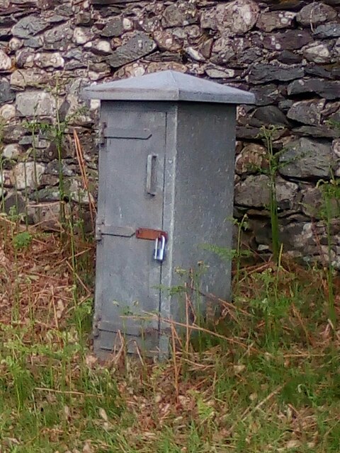
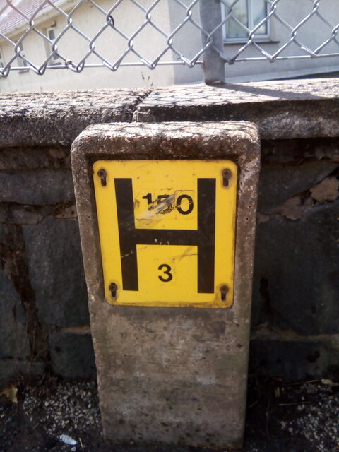
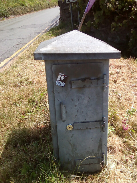
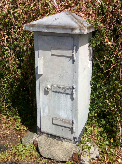
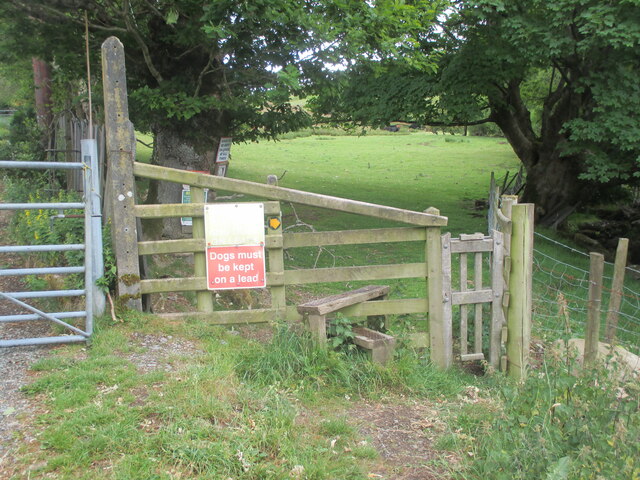
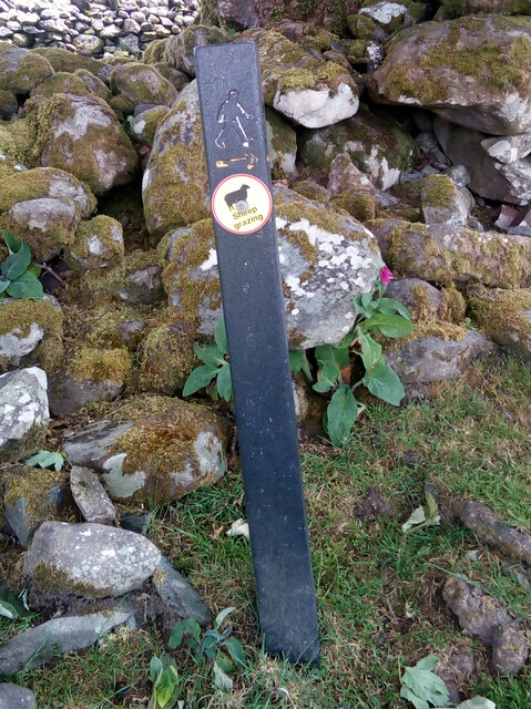
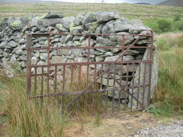
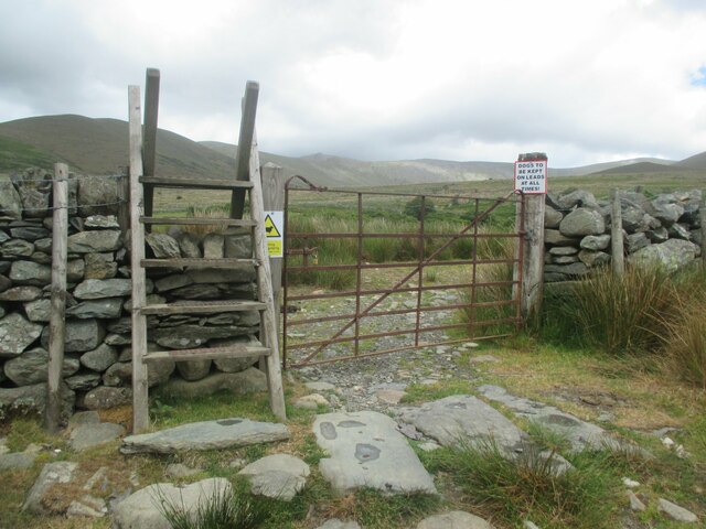
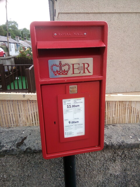
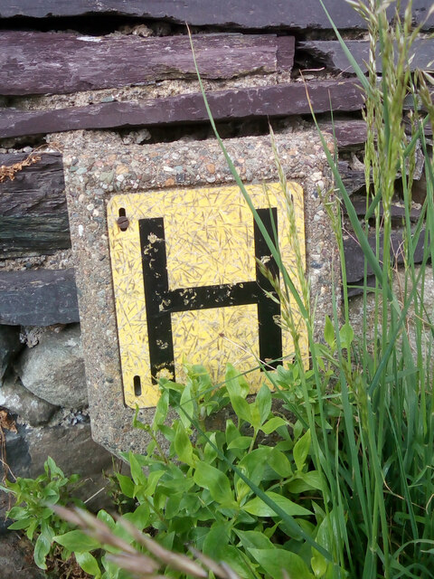
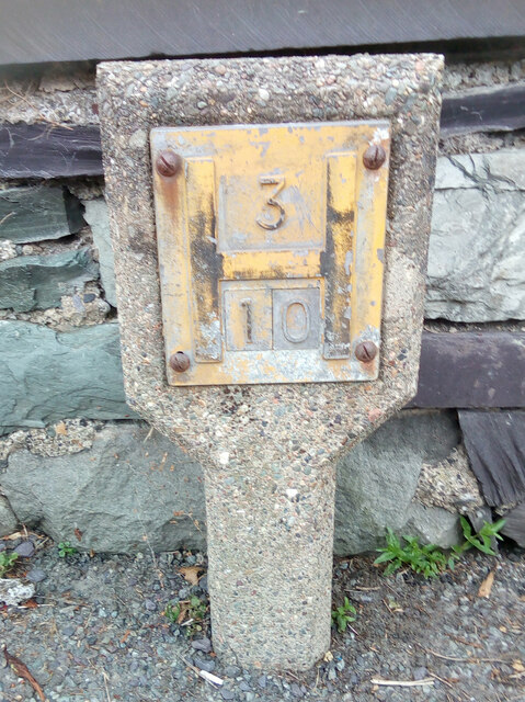
Coed Bryn-Meurig Images

Images are sourced within 2km of 53.17451/-4.0610814 or Grid Reference SH6266. Thanks to Geograph Open Source API. All images are credited.

Electrical cabinet on Bangor Road, Bethesda
Hydrant sign on Ffordd Gerlan, Bethesda
Electrical cabinet on Ffordd Gerlan, Bethesda
Electrical cabinet on Carneddi Road, Bethesda
Stile and dog gate at the start of footpath, Gwernydd
Waymark post on footpath, Gwernydd Sheep grazing
Waymark post on footpath, Gwernydd
Sheep grazing
Old gate between fields, Gwernydd
Stile and gate, Gwernydd
Stile over wall, Gwernydd
Stone slab footbridge over stream, Gwernydd
Waterfall on Afon Caseg, Gwernydd
Hydrant marker on Gerlan Road, Bethesda
Elizabeth II post box on Braichmelyn, Bethesda LL57 21
Elizabeth II post box on Braichmelyn, Bethesda
LL57 21
Hydrant sign on Cefnfaes Road, Bethesda
Hydrant marker on Braichmelyn, Bethesda
Sluice valve marker at the junction of Station Road and Bangor Road, Bethesda
Damaged sluice valve marker on Bangor Road, Bethesda
Sluice valve marker on Bangor Road, Bethesda
Show me another place!

Coed Bryn-Meurig is located at Grid Ref: SH6266 (Lat: 53.17451, Lng: -4.0610814)

Unitary Authority: Gwynedd

Police Authority: North Wales

What 3 Words

///cascaded.pizza.struts. Near Bethesda, Gwynedd

Related Wikis

Afon Llafar

For the river which flows into Bala Lake see Afon Llafar (Dee)Afon Llafar is a river in the Carneddau, Snowdonia. It rises where many streams flow down...

Bethesda Athletic F.C.

Bethesda Athletic F.C. (; Welsh: [bɛθ'ɛsda]) is a football club based in the Welsh town of Bethesda, in northwest Wales. They play in the Ardal NW which...

Bethesda, Gwynedd

Bethesda (; Welsh: [bɛθ'ɛsda]) is a town and community in Gwynedd, Wales. It is on the banks of Afon Ogwen and on the edge of Snowdonia. It is 5 miles...

Jerusalem Chapel, Bethesda

Jerusalem Chapel, Bethesda, Gwynedd, Wales is a Presbyterian Church of Wales chapel built in 1841–1842 and reconstructed in 1872–1875. Of colossal size...

Bethesda railway station

Bethesda railway station was a station in Bethesda, Gwynedd, Wales. == History == The station was opened by the London and North Western Railway on 1 July...

Felin Fawr Slate Works

Felin Fawr Works is a former slate works to Penrhyn Quarry Railway in Bethesda, Wales. It dates back to 1803; This is when the first mill was supposedly...

Cwm Caseg

Cwm Caseg is a broad glacial valley in Snowdonia leading west from the Carneddau towards Bethesda. It is bordered by Carnedd Llewelyn to the southeast...

Penrhyn quarry

The Penrhyn quarry is a slate quarry located near Bethesda, North Wales. At the end of the nineteenth century it was the world's largest slate quarry;...

Nearby Amenities

Located within 500m of 53.17451,-4.0610814
Pub
Douglas Arms
Addr Postcode: LL57 3AY
Addr Street: Stryd Fawr
Fhrs Id: 330822
Source Addr: FHRS Open Data
Wikidata: Q80583264
Lat/Long: 53.1788422/-4.059141
Leisure: playground
Lat/Long: 53.1789019/-4.0615266
Turning Circle
Lat/Long: 53.1757553/-4.055935
Bus Stop
Bus: yes
Public Transport: platform
Lat/Long: 53.1778765/-4.0577961
Bus Stop
Bus: yes
Naptan AtcoCode: 5400AWF80937
Naptan NaptanCode: gwnapmj
Public Transport: platform
Lat/Long: 53.1769303/-4.0574947
Bus Stop
Bus: yes
Naptan AtcoCode: 5400GYX17580
Naptan NaptanCode: gwnapmp
Public Transport: platform
Shelter: no
Lat/Long: 53.1769002/-4.0577172
Man Made: milestone
Source: Mapillary;local_knowledge
Lat/Long: 53.1763809/-4.0575095
Barrier: kissing_gate
Foot: yes
Lat/Long: 53.178672/-4.0605206
Barrier: kissing_gate
Foot: yes
Lat/Long: 53.1733491/-4.0605608
Bus Stop
Bench: yes
Bus: yes
Naptan AtcoCode: 5400GYX17350
Naptan NaptanCode: gwnawdm
Public Transport: platform
Shelter: yes
Lat/Long: 53.1733257/-4.0563476
Bus Stop
Bus: yes
Public Transport: platform
Shelter: no
Lat/Long: 53.1732014/-4.0560624
Bench
Source: Mapillary
Lat/Long: 53.1731499/-4.0559428
Addr Housenumber: 2
Source: Mapillary
Lat/Long: 53.173436/-4.0560984
Bench
Source: Mapillary
Lat/Long: 53.1731659/-4.0559911
Source: Bing
Traffic Calming: hump
Lat/Long: 53.1769353/-4.0568346
Source: Bing
Traffic Calming: hump
Lat/Long: 53.1770476/-4.0557797
Source: Bing
Traffic Calming: hump
Lat/Long: 53.1769084/-4.0574525
Source: Bing
Traffic Calming: hump
Lat/Long: 53.1778205/-4.0561418
Source: Bing
Traffic Calming: hump
Lat/Long: 53.1776495/-4.0566287
Power: pole
Lat/Long: 53.176074/-4.0650082
Power: pole
Lat/Long: 53.1757766/-4.0650296
Power: pole
Lat/Long: 53.1754648/-4.0656599
Power: pole
Lat/Long: 53.1752622/-4.0663385
Power: pole
Lat/Long: 53.1752381/-4.0670225
Power: pole
Lat/Long: 53.1751979/-4.0678647
Power: pole
Lat/Long: 53.1777106/-4.0640345
Power: pole
Lat/Long: 53.1780948/-4.0638495
Power: pole
Lat/Long: 53.17686/-4.0645406
Power: pole
Lat/Long: 53.1740678/-4.0583684
Power: pole
Lat/Long: 53.1748918/-4.0570162
Power: pole
Lat/Long: 53.1749718/-4.0567565
Power: pole
Lat/Long: 53.175517/-4.0556746
Power: pole
Lat/Long: 53.1754731/-4.0546273
Power: pole
Lat/Long: 53.175729/-4.0539052
Power: pole
Lat/Long: 53.1733932/-4.0594786
Power: pole
Lat/Long: 53.1729608/-4.0595537
Braichmelyn
Place: village
Lat/Long: 53.1728498/-4.0547555
Railway: level_crossing
Lat/Long: 53.1761133/-4.0679221
Shelter
Shelter Type: public_transport
Lat/Long: 53.1736489/-4.056475
Bus Stop
Fford Pant / Pant Road
Bus: yes
Public Transport: platform
Source: visit
Lat/Long: 53.1771325/-4.0566461
Direction: 255
Generator Method: photovoltaic
Generator Output Electricity: yes
Generator Solar Modules: 12
Generator Source: solar
Generator Type: solar_photovoltaic_panel
Location: roof
Power: generator
Lat/Long: 53.1734946/-4.0561947
Power: pole
Lat/Long: 53.1726701/-4.0596649
Barrier: block
Lat/Long: 53.1718864/-4.0612913
Barrier: block
Lat/Long: 53.171881/-4.0612017
Power: pole
Lat/Long: 53.1707185/-4.0601714
Power: pole
Lat/Long: 53.1711617/-4.0600358
Power: pole
Lat/Long: 53.1720998/-4.0598765
Power: pole
Lat/Long: 53.1716335/-4.0600305
Power: pole
Lat/Long: 53.175477/-4.0545446
Power: pole
Lat/Long: 53.1750685/-4.053801
Information: board
Tourism: information
Lat/Long: 53.170479/-4.0593067
The data included in this document is from www.openstreetmap.org. The data is made available under ODbL.

Have you been to Coed Bryn-Meurig?

Leave your review of Coed Bryn-Meurig below (or comments, questions and feedback).