Pant

Settlement in Caernarfonshire

Wales

Pant

Electrical cabinet on Bangor Road, Bethesda
Electrical cabinet on Bangor Road, Bethesda Credit: Meirion

Pant is a small village located in the historic county of Caernarfonshire, in northwestern Wales. Situated in a picturesque rural setting, Pant is surrounded by rolling hills and breathtaking natural beauty. The village is positioned just a few miles south of the popular tourist destination of Caernarfon, making it a convenient and attractive base for visitors exploring the region.

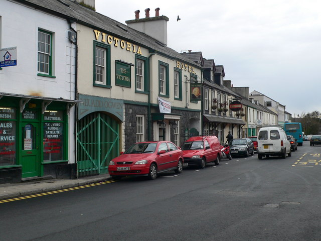
Despite its small size, Pant boasts a strong sense of community and a rich history. The village is known for its charming stone houses and traditional Welsh architecture, which adds to its rustic charm. Agriculture has long been a dominant industry in Pant, with many residents engaged in farming and livestock rearing.

One of Pant's most notable landmarks is the historic St. Michael's Church, which dates back to the 12th century. The church is a testament to the village's deep-rooted history and serves as a gathering place for the community.

Pant offers a tranquil and idyllic lifestyle, with its residents enjoying a close-knit community atmosphere. The village is also within easy reach of various amenities and services, including schools, shops, and recreational facilities. Additionally, the nearby Snowdonia National Park provides ample opportunities for outdoor activities such as hiking, biking, and wildlife spotting.

Overall, Pant is a charming and picturesque village that offers a peaceful and close community experience, while also providing access to the scenic wonders of the surrounding Caernarfonshire countryside.

If you have any feedback on the listing, please let us know in the comments section below.
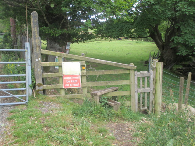
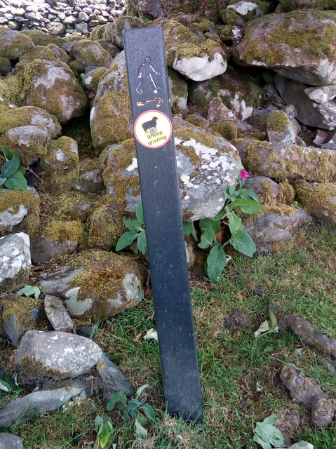
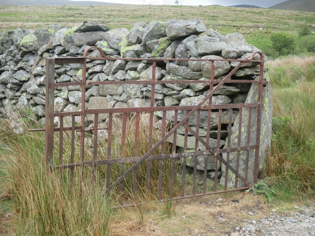
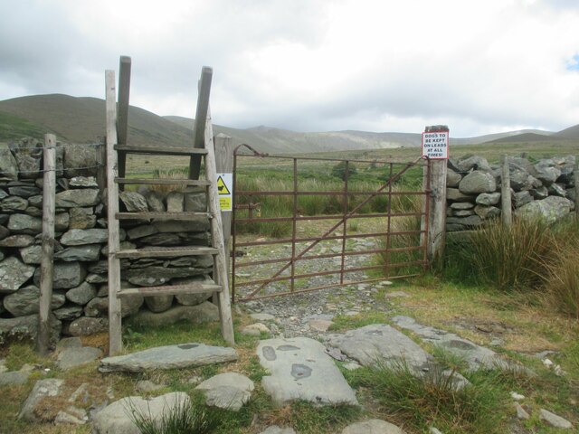
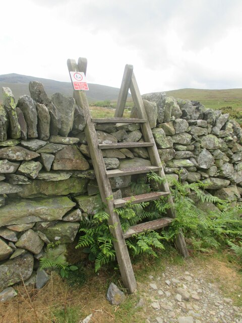
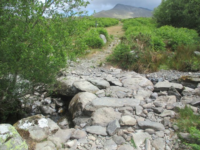
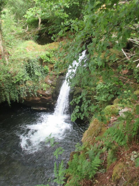
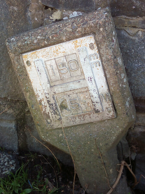
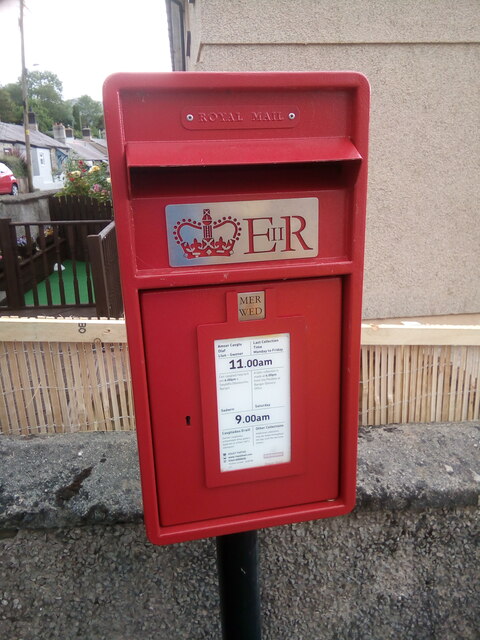
Pant Images

Images are sourced within 2km of 53.177579/-4.0562304 or Grid Reference SH6266. Thanks to Geograph Open Source API. All images are credited.

Electrical cabinet on Bangor Road, Bethesda
Hydrant sign on Ffordd Gerlan, Bethesda
Electrical cabinet on Ffordd Gerlan, Bethesda
Electrical cabinet on Carneddi Road, Bethesda
Stile and dog gate at the start of footpath, Gwernydd
Waymark post on footpath, Gwernydd Sheep grazing
Waymark post on footpath, Gwernydd
Sheep grazing
Old gate between fields, Gwernydd
Stile and gate, Gwernydd
Stile over wall, Gwernydd
Stone slab footbridge over stream, Gwernydd
Waterfall on Afon Caseg, Gwernydd
Hydrant marker on Gerlan Road, Bethesda
Elizabeth II post box on Braichmelyn, Bethesda LL57 21
Elizabeth II post box on Braichmelyn, Bethesda
LL57 21
Hydrant sign on Cefnfaes Road, Bethesda
Hydrant marker on Braichmelyn, Bethesda
Sluice valve marker at the junction of Station Road and Bangor Road, Bethesda
Damaged sluice valve marker on Bangor Road, Bethesda
Sluice valve marker on Bangor Road, Bethesda
Show me another place!

Pant is located at Grid Ref: SH6266 (Lat: 53.177579, Lng: -4.0562304)

Unitary Authority: Gwynedd

Police Authority: North Wales

What 3 Words

///marketing.nightcap.coveted. Near Bethesda, Gwynedd

Related Wikis

Bethesda Athletic F.C.

Bethesda Athletic F.C. (; Welsh: [bɛθ'ɛsda]) is a football club based in the Welsh town of Bethesda, in northwest Wales. They play in the Ardal NW which...

Bethesda, Gwynedd

Bethesda (; Welsh: [bɛθ'ɛsda]) is a town and community in Gwynedd, Wales. It is on the banks of Afon Ogwen and on the edge of Snowdonia. It is 5 miles...

Afon Llafar

For the river which flows into Bala Lake see Afon Llafar (Dee)Afon Llafar is a river in the Carneddau, Snowdonia. It rises where many streams flow down...

Jerusalem Chapel, Bethesda

Jerusalem Chapel, Bethesda, Gwynedd, Wales is a Presbyterian Church of Wales chapel built in 1841–1842 and reconstructed in 1872–1875. Of colossal size...

Cwm Caseg

Cwm Caseg is a broad glacial valley in Snowdonia leading west from the Carneddau towards Bethesda. It is bordered by Carnedd Llewelyn to the southeast...

Pantdreiniog quarry

The Pantdreiniog quarry (also known as the Pant Dreiniog quarry) was a slate quarry within the town of Bethesda in North Wales. It was worked between about...

Ogwen (electoral ward)

Ogwen is the name of an electoral ward covering part of the village and community of Bethesda in Gwynedd, Wales. It elects councillors to the community...

Bethesda railway station

Bethesda railway station was a station in Bethesda, Gwynedd, Wales. == History == The station was opened by the London and North Western Railway on 1 July...

Nearby Amenities

Located within 500m of 53.177579,-4.0562304
Mini Roundabout
Direction: clockwise
Lat/Long: 53.180374/-4.0598925
Pub
Y Tarw
Name En: The Bull
Wikidata: Q80857578
Lat/Long: 53.1796959/-4.0623478
Pub
Douglas Arms
Addr Postcode: LL57 3AY
Addr Street: Stryd Fawr
Fhrs Id: 330822
Source Addr: FHRS Open Data
Wikidata: Q80583264
Lat/Long: 53.1788422/-4.059141
Post Box
Operator: Royal Mail
Operator Wikidata: Q638098
Ref: LL57 218
Royal Cypher: EIIR
Royal Cypher Wikidata: Q33102113
Lat/Long: 53.1795009/-4.0605581
Toilets
Lat/Long: 53.1800608/-4.0623021
War Memorial
Historic: memorial
Memorial: war_memorial
Lat/Long: 53.1793925/-4.0599352
Historic: building
Inscription: The Bethesda Chapel.
Lat/Long: 53.1793946/-4.061594
Gorffwysfan
Building: public
Lat/Long: 53.1796366/-4.0615058
Bus Stop
Spar
Bench: no
Bus: yes
Public Transport: platform
Shelter: no
Lat/Long: 53.1793156/-4.0600299
Bus Stop
Spar
Bus: yes
Public Transport: platform
Shelter: yes
Lat/Long: 53.1795092/-4.0607067
Leisure: playground
Lat/Long: 53.1789019/-4.0615266
Turning Circle
Lat/Long: 53.1757553/-4.055935
Bus Stop
Bus: yes
Public Transport: platform
Lat/Long: 53.1778765/-4.0577961
Bus Stop
Bus: yes
Naptan AtcoCode: 5400AWF80937
Naptan NaptanCode: gwnapmj
Public Transport: platform
Lat/Long: 53.1769303/-4.0574947
Bus Stop
Bus: yes
Naptan AtcoCode: 5400GYX17580
Naptan NaptanCode: gwnapmp
Public Transport: platform
Shelter: no
Lat/Long: 53.1769002/-4.0577172
Man Made: milestone
Source: Mapillary;local_knowledge
Lat/Long: 53.1763809/-4.0575095
Bus Stop
Bus: yes
Naptan AtcoCode: 5400WDB23729
Naptan NaptanCode: gwntmap
Public Transport: platform
Lat/Long: 53.178673/-4.0560698
Noexit: yes
Lat/Long: 53.1791723/-4.0561257
Bus Stop
Bus: yes
Naptan AtcoCode: 5400AWF80943
Naptan NaptanCode: gwnapjg
Public Transport: platform
Lat/Long: 53.1783673/-4.056067
Post Box
Operator: Royal Mail
Operator Wikidata: Q638098
Ref: LL57 280
Lat/Long: 53.178362/-4.0561846
Barrier: kissing_gate
Foot: yes
Lat/Long: 53.178672/-4.0605206
Bus Stop
Bus: yes
Naptan AtcoCode: 5400AWF80950
Naptan NaptanCode: gwnapmt
Public Transport: platform
Lat/Long: 53.1813734/-4.0571604
Post Box
Operator: Royal Mail
Operator Wikidata: Q638098
Ref: LL57 235
Lat/Long: 53.1804642/-4.0537084
Bus Stop
Bus: yes
Public Transport: platform
Lat/Long: 53.178172/-4.0499683
Power: substation
Lat/Long: 53.1781663/-4.0500793
Bus Stop
Bus: yes
Public Transport: platform
Lat/Long: 53.1799114/-4.056058
Bus Stop
Bench: yes
Bus: yes
Naptan AtcoCode: 5400GYX17350
Naptan NaptanCode: gwnawdm
Public Transport: platform
Shelter: yes
Lat/Long: 53.1733257/-4.0563476
Bus Stop
Bus: yes
Public Transport: platform
Shelter: no
Lat/Long: 53.1732014/-4.0560624
Post Box
Operator: Royal Mail
Operator Wikidata: Q638098
Post Box Type: lamp
Ref: LL57 21
Royal Cypher: EIIR
Lat/Long: 53.1737622/-4.0536058
Noexit: yes
Lat/Long: 53.176573/-4.049198
Source: Bing
Traffic Calming: hump
Lat/Long: 53.1763666/-4.0541734
Noexit: yes
Lat/Long: 53.17957/-4.0562079
Bench
Source: Mapillary
Lat/Long: 53.1731499/-4.0559428
Addr Housenumber: 2
Source: Mapillary
Lat/Long: 53.173436/-4.0560984
Bench
Source: Mapillary
Lat/Long: 53.1731659/-4.0559911
Source: Bing
Traffic Calming: hump
Lat/Long: 53.1769353/-4.0568346
Source: Bing
Traffic Calming: hump
Lat/Long: 53.1770476/-4.0557797
Source: Bing
Traffic Calming: hump
Lat/Long: 53.1769084/-4.0574525
Source: Bing
Traffic Calming: hump
Lat/Long: 53.1778205/-4.0561418
Source: Bing
Traffic Calming: hump
Lat/Long: 53.1776495/-4.0566287
Fast Food
Dwr-y-Mynydd
Addr Full: 7 Rhes Ogwen Stryd Fawr Bethesda Bangor GwyneddLL57 3AY
Addr Housenumber: 7
Addr Postcode: LL57 3AY
Addr Street: Rhes Ogwen
Cuisine: chinese
Fhrs Id: 330967
Fixme: chinese characters, need checking
Name En: Mountain Water
Name Zh: 山水
Source: Mapillary
Source Addr: FHRS Open Data
Lat/Long: 53.1793503/-4.0606554
Est Maxheight: 2
Maxheight: unknown
Source: Mapillary
Lat/Long: 53.1794798/-4.0603798
Crossing
Crossing: traffic_signals
Crossing Island: no
Crossing Ref: pelican
Source: Mapillary
Lat/Long: 53.1794657/-4.0610059
Cafe
Caffi Ogwen
Lat/Long: 53.1796011/-4.0621813
Gender: male
Shop: hairdresser
Source: Mapillary
Lat/Long: 53.1795529/-4.0620955
Fixme: still open
Shop: yes
Source: Mapillary
Lat/Long: 53.1799821/-4.0625383
Fixme: still open
Shop: yes
Source: Mapillary
Lat/Long: 53.1798936/-4.0625062
Addr Housenumber: 2
Addr Postcode: LL57 3AY
Source: Mapillary
Lat/Long: 53.1793793/-4.061149
Fast Food
Addr Housenumber: 54
Addr Postcode: LL57 3AN
Addr Street: Stryd Fawr
Cuisine: fish_and_chips
Fhrs Id: 40827
Source: Mapillary
Source Addr: FHRS Open Data
Lat/Long: 53.1801846/-4.0623318
Ty Lorne House
Name Cy: Ty Lorne
Name En: Lorne House
Shop: yes
Source: Mapillary
Lat/Long: 53.1795031/-4.0619027
Addr Housenumber: 1
Source: Mapillary
Lat/Long: 53.1793969/-4.0612375
Fast Food
Y Mabignion
Addr Street: Stryd Fawr
Cuisine: fish_and_chips
Source: Mapillary
Lat/Long: 53.1796442/-4.0622623
Copa
Shop: yes
Source: Mapillary
Lat/Long: 53.1795867/-4.0610926
Power: pole
Lat/Long: 53.1740678/-4.0583684
Power: pole
Lat/Long: 53.1748918/-4.0570162
Power: pole
Lat/Long: 53.1749718/-4.0567565
Power: pole
Lat/Long: 53.175517/-4.0556746
Power: pole
Lat/Long: 53.1754731/-4.0546273
Power: pole
Lat/Long: 53.175729/-4.0539052
Power: pole
Lat/Long: 53.1761565/-4.0537901
Bontuchaf
Place: hamlet
Lat/Long: 53.1811012/-4.0535265
Place Of Worship
Lat/Long: 53.1784453/-4.051302
Pant
Place: hamlet
Lat/Long: 53.1784962/-4.0543261
Shelter
Shelter Type: public_transport
Lat/Long: 53.1736489/-4.056475
Power: substation
Lat/Long: 53.178145/-4.050103
Power: substation
Lat/Long: 53.179492/-4.059232
Power: pole
Lat/Long: 53.1781346/-4.0501707
Power: pole
Lat/Long: 53.1777231/-4.0510977
Church
Lat/Long: 53.1799234/-4.0618587
Bus Stop
Fford Pant / Pant Road
Bus: yes
Public Transport: platform
Source: visit
Lat/Long: 53.1771325/-4.0566461
Direction: SSW
Generator Method: photovoltaic
Generator Output Electricity: yes
Generator Solar Modules: 13
Generator Source: solar
Generator Type: solar_photovoltaic_panel
Location: roof
Power: generator
Lat/Long: 53.1789906/-4.0538606
Direction: SSW
Generator Method: photovoltaic
Generator Output Electricity: yes
Generator Solar Modules: 13
Generator Source: solar
Generator Type: solar_photovoltaic_panel
Location: roof
Power: generator
Lat/Long: 53.1790127/-4.0539498
Direction: SW
Generator Method: photovoltaic
Generator Output Electricity: yes
Generator Solar Modules: 16
Generator Source: solar
Generator Type: solar_photovoltaic_panel
Location: roof
Power: generator
Lat/Long: 53.1805648/-4.0584706
Direction: SSW
Generator Method: photovoltaic
Generator Output Electricity: yes
Generator Solar Modules: 10
Generator Source: solar
Generator Type: solar_photovoltaic_panel
Location: roof
Power: generator
Lat/Long: 53.1817924/-4.0585115
Direction: 185
Generator Method: photovoltaic
Generator Output Electricity: yes
Generator Solar Modules: 5
Generator Source: solar
Generator Type: solar_photovoltaic_panel
Location: roof
Power: generator
Lat/Long: 53.1771055/-4.0526066
Direction: 275
Generator Method: photovoltaic
Generator Output Electricity: yes
Generator Solar Modules: 5
Generator Source: solar
Generator Type: solar_photovoltaic_panel
Location: roof
Power: generator
Lat/Long: 53.177134/-4.05263
Direction: SSE
Generator Method: photovoltaic
Generator Output Electricity: yes
Generator Solar Modules: 16
Generator Source: solar
Generator Type: solar_photovoltaic_panel
Location: roof
Power: generator
Lat/Long: 53.1775221/-4.0493651
Direction: SW
Generator Method: photovoltaic
Generator Output Electricity: yes
Generator Solar Modules: 9
Generator Source: solar
Generator Type: solar_photovoltaic_panel
Location: roof
Power: generator
Lat/Long: 53.1787018/-4.0489997
Direction: 255
Generator Method: photovoltaic
Generator Output Electricity: yes
Generator Solar Modules: 12
Generator Source: solar
Generator Type: solar_photovoltaic_panel
Location: roof
Power: generator
Lat/Long: 53.1734946/-4.0561947
Power: pole
Lat/Long: 53.175477/-4.0545446
Power: pole
Lat/Long: 53.1745033/-4.052866
Power: pole
Lat/Long: 53.1746704/-4.0531331
Power: pole
Lat/Long: 53.1750685/-4.053801
Bench
Lat/Long: 53.1790143/-4.0525516
Cafe
Lat/Long: 53.1796351/-4.0608025
The data included in this document is from www.openstreetmap.org. The data is made available under ODbL.

Have you been to Pant?

Leave your review of Pant below (or comments, questions and feedback).