Bont-uchaf

Settlement in Caernarfonshire

Wales

Bont-uchaf

A road into the slate It isn't buried, but looks like it is. It's the access road for Fron Hirdir.
A road into the slate Credit: David Medcalf

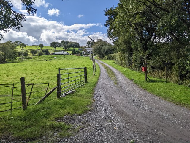
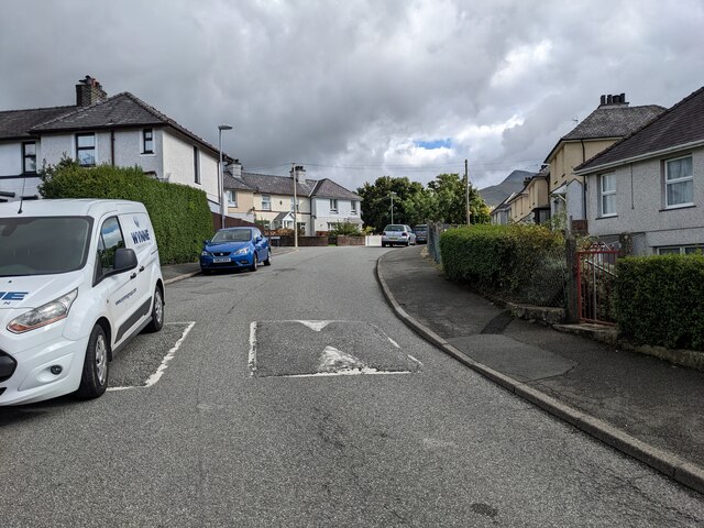
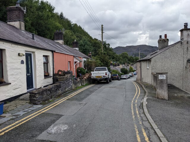
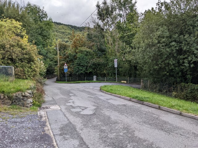
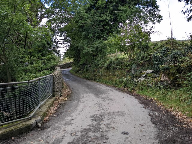
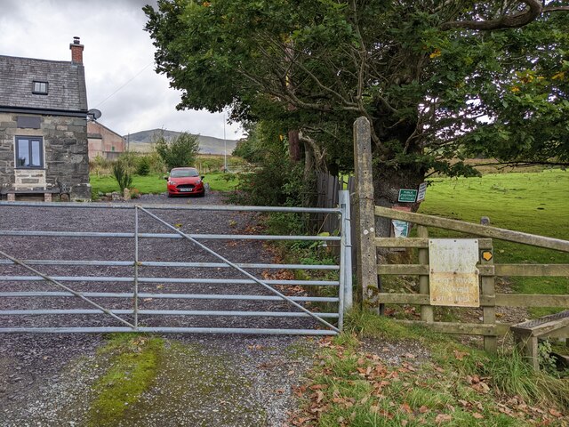
Bont-uchaf is a small village located in the county of Caernarfonshire, Wales. Situated in the northern part of the country, it lies approximately 3 miles southeast of the town of Caernarfon. The village is nestled in a picturesque countryside setting, surrounded by rolling hills and lush green fields.

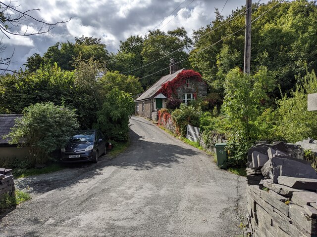
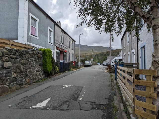
Bont-uchaf is known for its tranquil and rural atmosphere, making it an ideal destination for those seeking an escape from the hustle and bustle of city life. The village is home to a close-knit community, with a population of around 200 residents.

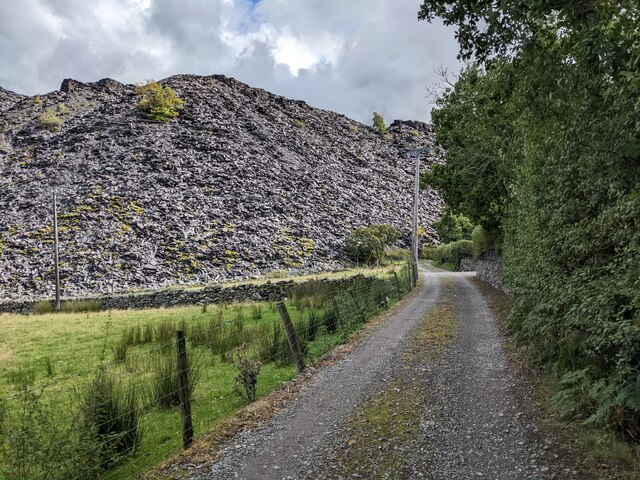
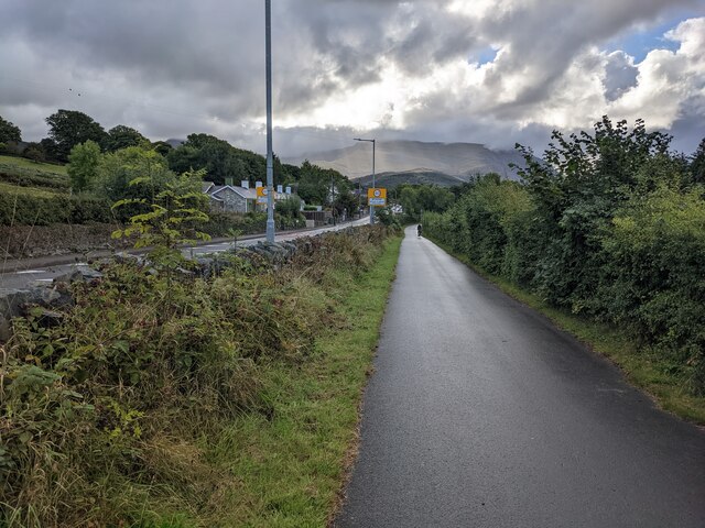
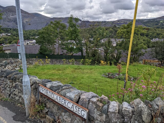
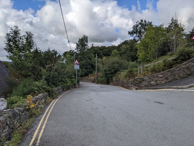
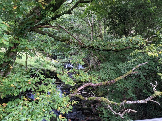
The landscape surrounding Bont-uchaf offers a variety of outdoor activities for nature enthusiasts. The nearby Snowdonia National Park provides ample opportunities for hiking, mountain biking, and birdwatching. The village is also located close to the stunning coastline of North Wales, where visitors can enjoy scenic walks along the cliffs or relax on the sandy beaches.

Although small in size, Bont-uchaf has some local amenities to cater to its residents. These include a village hall, a small convenience store, and a pub, providing a sense of community and meeting place for locals.

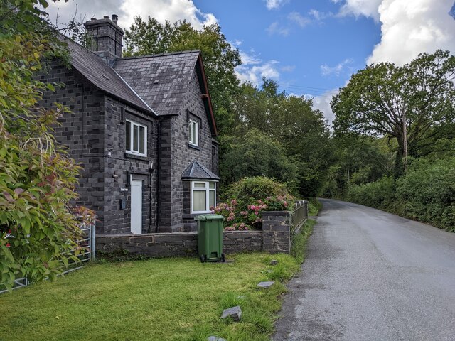
In terms of history, Bont-uchaf has a rich heritage dating back centuries. The village has a number of traditional Welsh stone cottages, which add to its charm and character. The area has also witnessed the remains of ancient settlements, emphasizing its historical significance.

Overall, Bont-uchaf offers a peaceful and idyllic setting, perfect for those looking to immerse themselves in the beauty of the Welsh countryside.

If you have any feedback on the listing, please let us know in the comments section below.
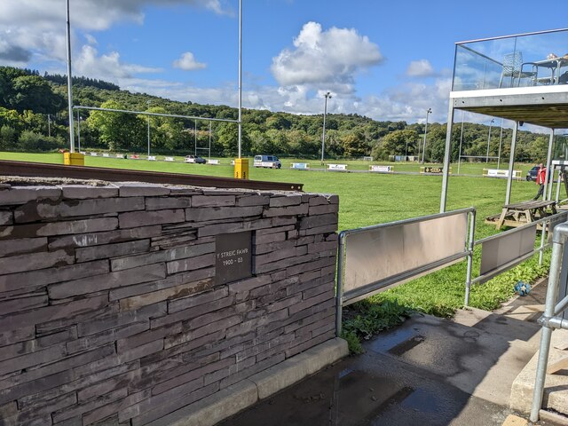
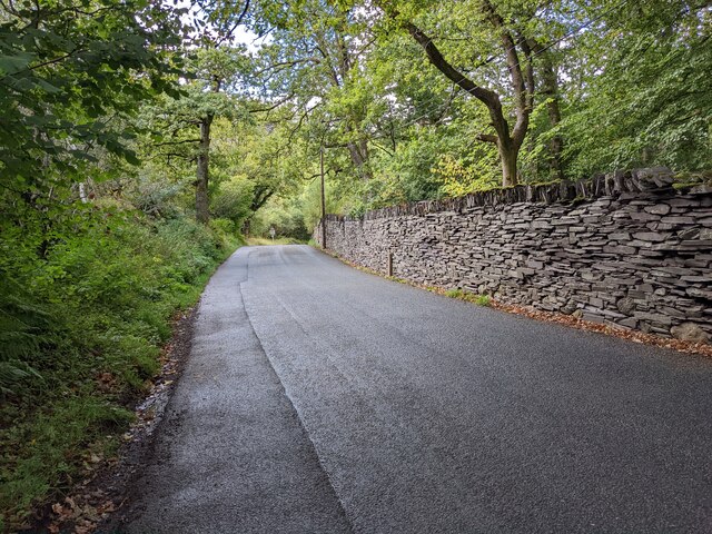
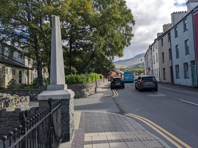
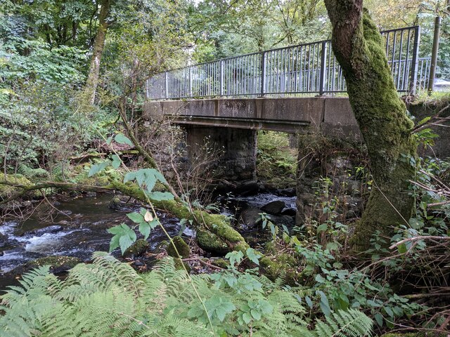
Bont-uchaf Images

Images are sourced within 2km of 53.181117/-4.052768 or Grid Reference SH6266. Thanks to Geograph Open Source API. All images are credited.

A road into the slate It isn't buried, but looks like it is. It's the access road for Fron Hirdir.
A road into the slate
It isn't buried, but looks like it is. It's the access road for Fron Hirdir.
An excellent cycleway next to the A5 Much needed as the A5 is busy and narrow.
An excellent cycleway next to the A5
Much needed as the A5 is busy and narrow.
The lane to Fron Hirdir Out of shot, just to the left, are the massive slate tips of Penrhyn Quarry. Hard to believe!
The lane to Fron Hirdir
Out of shot, just to the left, are the massive slate tips of Penrhyn Quarry. Hard to believe!
A colourful house at Pen-y-Graig
A small but poignant memorial of the Great Strike Set in the wall of the Rugby Club car park, the plaque commemorates Y Streic Fawr 1900-1903 which divided and destroyed the community of Bethesda. More information here: <span class="nowrap"><a title="https://www.nationaltrust.org.uk/visit/wales/penrhyn-castle-and-garden/the-great-penrhyn-quarry-strike" rel="nofollow ugc noopener" href="https://www.nationaltrust.org.uk/visit/wales/penrhyn-castle-and-garden/the-great-penrhyn-quarry-strike">Link</a><img style="margin-left:2px;" alt="External link" title="External link - shift click to open in new window" src="https://s1.geograph.org.uk/img/external.png" width="10" height="10"/></span>
A small but poignant memorial of the Great Strike
Set in the wall of the Rugby Club car park, the plaque commemorates Y Streic Fawr 1900-1903 which divided and destroyed the community of Bethesda. More information here: LinkExternal link
The B4409 near Braichmelyn
Tŷ'n Tŵr near Braichmelyn
A memorial on the High Street
Speed bumps in Adwy'r Nant
Cottages on Braichmelyn in Braichmelyn The road and the hamlet have the same name.
Cottages on Braichmelyn in Braichmelyn
The road and the hamlet have the same name.
A decorative garden at the head of Ffordd Abercaseg
Gerlan New Road in Gerlan
Ffordd Abercaseg above Braichmelyn
Cottages in Gerlan One of which was Gerlan Post Office, now looking very closed.
Cottages in Gerlan
One of which was Gerlan Post Office, now looking very closed.
Metal barrier above the Afon Caseg
Afon Caseg waterfall is almost hidden by the trees The waterfall is marked on the OS map.
Afon Caseg waterfall is almost hidden by the trees
The waterfall is marked on the OS map.
The footpath starts here With several faded signs about keeping dogs on leads etc.
The footpath starts here
With several faded signs about keeping dogs on leads etc.
The bridge over the Afon Llafar 'Llafar' means 'speech' or 'talking' in Welsh, so this is 'the talking river' which is quite poetic.
The bridge over the Afon Llafar
'Llafar' means 'speech' or 'talking' in Welsh, so this is 'the talking river' which is quite poetic.
Show me another place!

Bont-uchaf is located at Grid Ref: SH6266 (Lat: 53.181117, Lng: -4.052768)

Unitary Authority: Gwynedd

Police Authority: North Wales

Also known as: Bontuchaf

What 3 Words

///saving.onlookers.mattress. Near Bethesda, Gwynedd

Related Wikis

Cwm Caseg

Cwm Caseg is a broad glacial valley in Snowdonia leading west from the Carneddau towards Bethesda. It is bordered by Carnedd Llewelyn to the southeast...

Jerusalem Chapel, Bethesda

Jerusalem Chapel, Bethesda, Gwynedd, Wales is a Presbyterian Church of Wales chapel built in 1841–1842 and reconstructed in 1872–1875. Of colossal size...

Bethesda, Gwynedd

Bethesda (; Welsh: [bɛθ'ɛsda] ) is a town and community in Gwynedd, Wales. It is on the banks of Afon Ogwen and on the edge of Snowdonia. It is 5 miles...

Bethesda Athletic F.C.

Bethesda Athletic F.C. (; Welsh: [bɛθ'ɛsda]) is a football club based in the Welsh town of Bethesda, in northwest Wales. They play in the Ardal NW which...

Nearby Amenities

Located within 500m of 53.181117,-4.052768
Mini Roundabout
Direction: clockwise
Lat/Long: 53.180374/-4.0598925
Pub
Douglas Arms
Addr Postcode: LL57 3AY
Addr Street: Stryd Fawr
Fhrs Id: 330822
Source Addr: FHRS Open Data
Wikidata: Q80583264
Lat/Long: 53.1788422/-4.059141
Pub
Y Sior
Lat/Long: 53.183067/-4.0582993
Bus Stop
Bus: yes
Public Transport: platform
Lat/Long: 53.1778765/-4.0577961
Bus Stop
Bus: yes
Naptan AtcoCode: 5400WDB23729
Naptan NaptanCode: gwntmap
Public Transport: platform
Lat/Long: 53.178673/-4.0560698
Noexit: yes
Lat/Long: 53.1791723/-4.0561257
Bus Stop
Bus: yes
Naptan AtcoCode: 5400AWF80943
Naptan NaptanCode: gwnapjg
Public Transport: platform
Lat/Long: 53.1783673/-4.056067
Post Box
Operator: Royal Mail
Operator Wikidata: Q638098
Ref: LL57 280
Lat/Long: 53.178362/-4.0561846
Bus Stop
Bus: yes
Naptan AtcoCode: 5400AWF80950
Naptan NaptanCode: gwnapmt
Public Transport: platform
Lat/Long: 53.1813734/-4.0571604
Barrier: kissing_gate
Foot: yes
Lat/Long: 53.1830964/-4.0553224
Post Box
Operator: Royal Mail
Operator Wikidata: Q638098
Ref: LL57 123
Lat/Long: 53.182386/-4.0575965
Sheffield Stores
Shop: convenience
Lat/Long: 53.182348/-4.0575014
Post Box
Operator: Royal Mail
Operator Wikidata: Q638098
Ref: LL57 235
Lat/Long: 53.1804642/-4.0537084
Ford: yes
Lat/Long: 53.1831944/-4.0474609
Bus Stop
Bus: yes
Public Transport: platform
Lat/Long: 53.178172/-4.0499683
Power: substation
Lat/Long: 53.1781663/-4.0500793
Bus Stop
Bus: yes
Public Transport: platform
Lat/Long: 53.1799114/-4.056058
Power: pole
Lat/Long: 53.1836198/-4.0547029
Power: pole
Lat/Long: 53.1802599/-4.0497677
Power: pole
Lat/Long: 53.179746/-4.0492151
Power: pole
Lat/Long: 53.1819342/-4.0521892
Power: pole
Lat/Long: 53.183083/-4.0539519
Power: pole
Lat/Long: 53.1825265/-4.0530968
Noexit: yes
Lat/Long: 53.17957/-4.0562079
Source: Bing
Traffic Calming: hump
Lat/Long: 53.1770476/-4.0557797
Source: Bing
Traffic Calming: hump
Lat/Long: 53.1778205/-4.0561418
Source: Bing
Traffic Calming: hump
Lat/Long: 53.1776495/-4.0566287
Cilfodan
Place: hamlet
Lat/Long: 53.182211/-4.0540402
Bontuchaf
Place: hamlet
Lat/Long: 53.1811012/-4.0535265
Place Of Worship
Lat/Long: 53.1784453/-4.051302
Pant
Place: hamlet
Lat/Long: 53.1784962/-4.0543261
Power: pole
Lat/Long: 53.1844903/-4.0565361
Power: substation
Lat/Long: 53.178145/-4.050103
Power: substation
Lat/Long: 53.182469/-4.058068
Power: substation
Lat/Long: 53.179492/-4.059232
Power: pole
Lat/Long: 53.1781346/-4.0501707
Power: pole
Lat/Long: 53.1777231/-4.0510977
Gerlan
Place: neighbourhood
Lat/Long: 53.1782074/-4.0485873
Power: pole
Lat/Long: 53.1790492/-4.0487556
Power: pole
Lat/Long: 53.1785141/-4.0470901
Power: pole
Lat/Long: 53.1791646/-4.047086
Power: pole
Lat/Long: 53.1799489/-4.0470906
Power: pole
Lat/Long: 53.1807979/-4.0487365
Power: pole
Lat/Long: 53.1812941/-4.0511893
Power: pole
Lat/Long: 53.1813668/-4.0497779
Power: pole
Lat/Long: 53.1817269/-4.0506635
Direction: SSW
Generator Method: photovoltaic
Generator Output Electricity: yes
Generator Solar Modules: 13
Generator Source: solar
Generator Type: solar_photovoltaic_panel
Location: roof
Power: generator
Lat/Long: 53.1789906/-4.0538606
Direction: SSW
Generator Method: photovoltaic
Generator Output Electricity: yes
Generator Solar Modules: 13
Generator Source: solar
Generator Type: solar_photovoltaic_panel
Location: roof
Power: generator
Lat/Long: 53.1790127/-4.0539498
Direction: SW
Generator Method: photovoltaic
Generator Output Electricity: yes
Generator Solar Modules: 16
Generator Source: solar
Generator Type: solar_photovoltaic_panel
Location: roof
Power: generator
Lat/Long: 53.1805648/-4.0584706
Direction: SSW
Generator Method: photovoltaic
Generator Output Electricity: yes
Generator Solar Modules: 10
Generator Source: solar
Generator Type: solar_photovoltaic_panel
Location: roof
Power: generator
Lat/Long: 53.1817924/-4.0585115
Direction: 185
Generator Method: photovoltaic
Generator Output Electricity: yes
Generator Solar Modules: 8
Generator Source: solar
Generator Type: solar_photovoltaic_panel
Location: roof
Power: generator
Lat/Long: 53.1817954/-4.0597725
Direction: 185
Generator Method: photovoltaic
Generator Output Electricity: yes
Generator Solar Modules: 10
Generator Source: solar
Generator Type: solar_photovoltaic_panel
Location: roof
Power: generator
Lat/Long: 53.1817558/-4.0592374
Direction: WSW
Generator Method: photovoltaic
Generator Output Electricity: yes
Generator Solar Modules: 8
Generator Source: solar
Generator Type: solar_photovoltaic_panel
Location: roof
Power: generator
Lat/Long: 53.1827361/-4.0587631
Direction: ENE
Generator Method: photovoltaic
Generator Output Electricity: yes
Generator Solar Modules: 8
Generator Source: solar
Generator Type: solar_photovoltaic_panel
Location: roof
Power: generator
Lat/Long: 53.1827482/-4.0587051
Direction: SW
Generator Method: photovoltaic
Generator Output Electricity: yes
Generator Solar Modules: 11
Generator Source: solar
Generator Type: solar_photovoltaic_panel
Location: roof
Power: generator
Lat/Long: 53.1833554/-4.0575794
Direction: 145
Generator Method: photovoltaic
Generator Output Electricity: yes
Generator Solar Modules: 12
Generator Source: solar
Generator Type: solar_photovoltaic_panel
Location: roof
Power: generator
Lat/Long: 53.183017/-4.0574406
Direction: 185
Generator Method: photovoltaic
Generator Output Electricity: yes
Generator Solar Modules: 5
Generator Source: solar
Generator Type: solar_photovoltaic_panel
Location: roof
Power: generator
Lat/Long: 53.1771055/-4.0526066
Direction: 275
Generator Method: photovoltaic
Generator Output Electricity: yes
Generator Solar Modules: 5
Generator Source: solar
Generator Type: solar_photovoltaic_panel
Location: roof
Power: generator
Lat/Long: 53.177134/-4.05263
Direction: SSE
Generator Method: photovoltaic
Generator Output Electricity: yes
Generator Solar Modules: 16
Generator Source: solar
Generator Type: solar_photovoltaic_panel
Location: roof
Power: generator
Lat/Long: 53.1775221/-4.0493651
Direction: SW
Generator Method: photovoltaic
Generator Output Electricity: yes
Generator Solar Modules: 10
Generator Source: solar
Generator Type: solar_photovoltaic_panel
Location: roof
Power: generator
Lat/Long: 53.1783538/-4.048419
Direction: SW
Generator Method: photovoltaic
Generator Output Electricity: yes
Generator Solar Modules: 9
Generator Source: solar
Generator Type: solar_photovoltaic_panel
Location: roof
Power: generator
Lat/Long: 53.1787018/-4.0489997
Power: pole
Lat/Long: 53.1795744/-4.0481263
Power: pole
Lat/Long: 53.1813255/-4.0477281
Power: pole
Lat/Long: 53.1814036/-4.0482721
Bench
Lat/Long: 53.1790143/-4.0525516
Barrier: kissing_gate
Lat/Long: 53.182771/-4.0470377
Barrier: kissing_gate
Lat/Long: 53.1832429/-4.0476067
Barrier: kissing_gate
Lat/Long: 53.1840071/-4.0491309
Barrier: kissing_gate
Lat/Long: 53.18415/-4.0495934
The data included in this document is from www.openstreetmap.org. The data is made available under ODbL.

Have you been to Bont-uchaf?

Leave your review of Bont-uchaf below (or comments, questions and feedback).