Bontuchel

Settlement in Denbighshire

Wales

Bontuchel

The river Clywedog from a footbridge The footpath leads from Lady Bagot's Drive to Hengoed, and the Ruthin to Bontuchel road.
The river Clywedog from a footbridge Credit: Eirian Evans

The requested URL returned error: 429 Too Many Requests

If you have any feedback on the listing, please let us know in the comments section below.
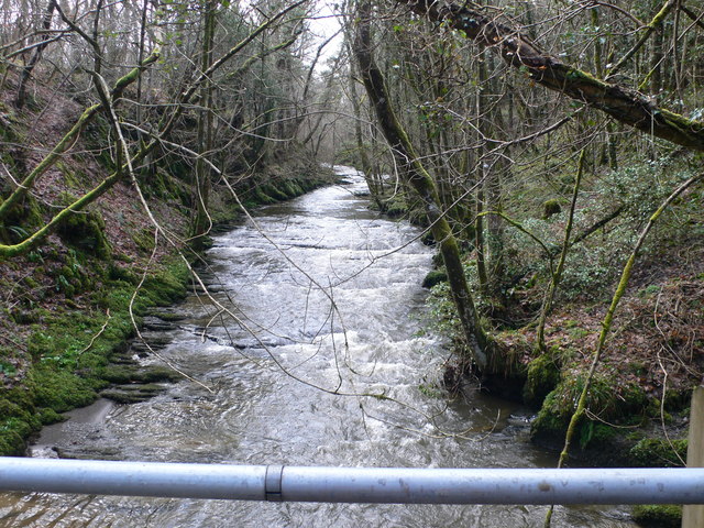
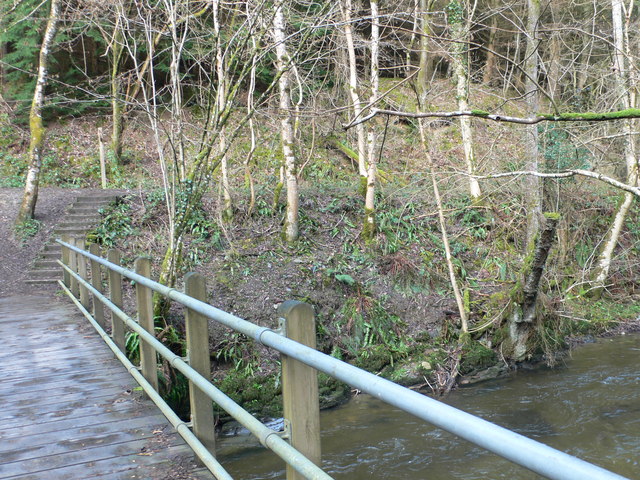
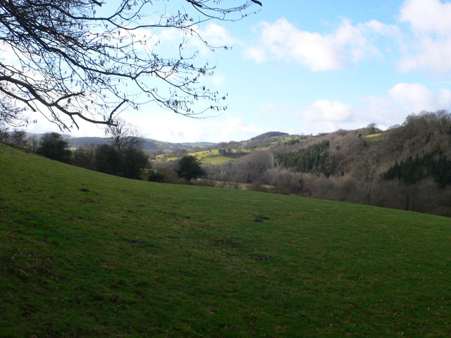
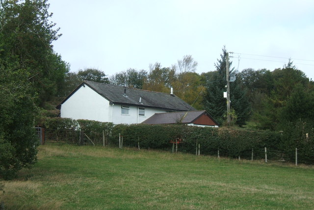
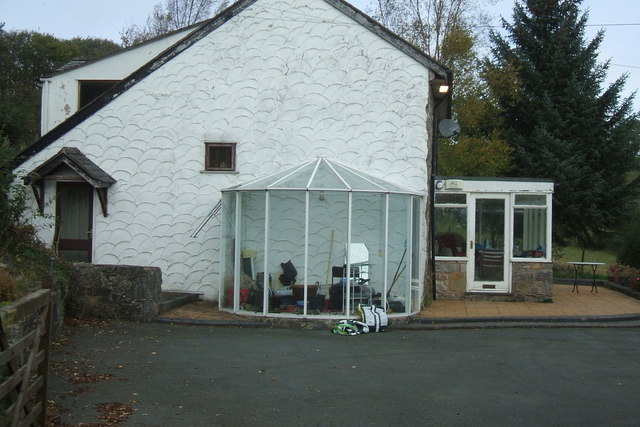
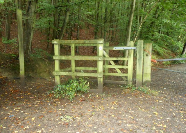
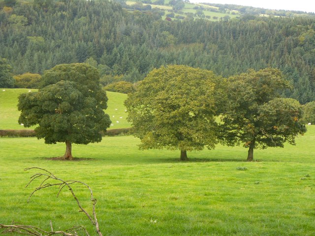
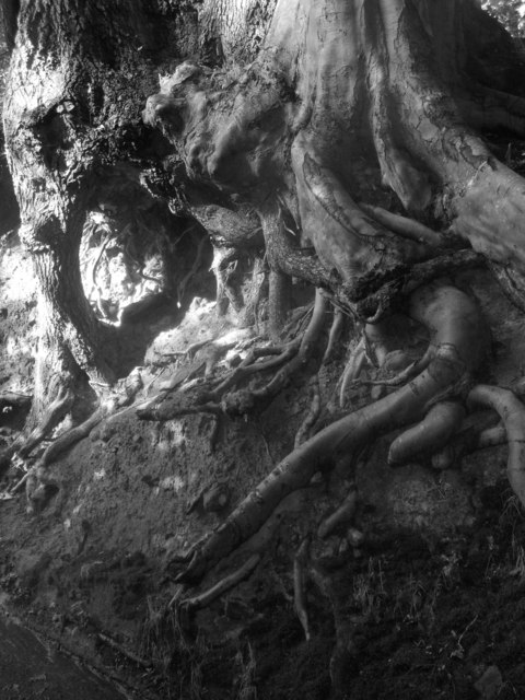
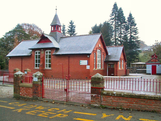
Bontuchel Images

Images are sourced within 2km of 53.109265/-3.365227 or Grid Reference SJ0857. Thanks to Geograph Open Source API. All images are credited.

The river Clywedog from a footbridge The footpath leads from Lady Bagot's Drive to Hengoed, and the Ruthin to Bontuchel road.
The river Clywedog from a footbridge
The footpath leads from Lady Bagot's Drive to Hengoed, and the Ruthin to Bontuchel road.
Footbridge over the river Clywedog The steps at the end of the bridge lead up to Lady Bagot's Drive. The ' Drive' is of Edwardian provenance and was laid as a carriageway by Lord Bagot for his wife at the time Clocaenog Forest was planted.
Footbridge over the river Clywedog
The steps at the end of the bridge lead up to Lady Bagot's Drive. The ' Drive' is of Edwardian provenance and was laid as a carriageway by Lord Bagot for his wife at the time Clocaenog Forest was planted.
View from near Hengoed, Bontuchel Looking west along the Clywedog valley towards Cyffylliog.
View from near Hengoed, Bontuchel
Looking west along the Clywedog valley towards Cyffylliog.
Pen-y-garth farmhouse Not a farm anymore. At the end of a long lane. In a square with a Footpath, Other Route With Public Access and a Bridleway. Great views of the Vale of Clwyd from here.
Pen-y-garth farmhouse
Not a farm anymore. At the end of a long lane. In a square with a Footpath, Other Route With Public Access and a Bridleway. Great views of the Vale of Clwyd from here.
Pen-y-garth - farmhouse
Y bont ym Mhontuchel / The bridge at Bontuchel
Giat fochyn / A kissing gate
Tair derwen / Three oaks
Gwreiddiau derw a ffawydd wedi'u plethu / Oak and beech roots intertwined This wooded country lane has a Narnian feel!
Gwreiddiau derw a ffawydd wedi'u plethu / Oak and beech roots intertwined
This wooded country lane has a Narnian feel!
Village scene, Bontuchel View away from the bridge to some of the houses in the small village or hamlet in the valley of the Afon Clywedog.
Village scene, Bontuchel
View away from the bridge to some of the houses in the small village or hamlet in the valley of the Afon Clywedog.
The Clwyd valley Farmland in the Clwyd valley, the river flows through the valley below the wooded hillside.
The Clwyd valley
Farmland in the Clwyd valley, the river flows through the valley below the wooded hillside.
Oak tree in farmland Oak tree in farmland above the Vale of Clwyd.
Oak tree in farmland
Oak tree in farmland above the Vale of Clwyd.
Farmland near Ty'n-y-celyn Sheep in a field near Ty'n-y-celyn.  The Clwydian Hills are on the horizon
Farmland near Ty'n-y-celyn
Sheep in a field near Ty'n-y-celyn. The Clwydian Hills are on the horizon
View to Aber-ddu Farmland around Aber-ddu.
View to Aber-ddu
Farmland around Aber-ddu.
Country road to Llanfwrog Country road to Llanfwrog, with the Clwydian Hills on the horizon.
Country road to Llanfwrog
Country road to Llanfwrog, with the Clwydian Hills on the horizon.
Farmland near Ffordd-lâs Farmland near Ffordd-lâs above Bontuchel, the Clwydian Hills are on the horizon.
Farmland near Ffordd-lâs
Farmland near Ffordd-lâs above Bontuchel, the Clwydian Hills are on the horizon.
Entrance to Woodlands Hall Caravan Park
Farmland in the Clwyd valley Farmland in the Clwyd valley at Bontuchel.
Farmland in the Clwyd valley
Farmland in the Clwyd valley at Bontuchel.
Show me another place!

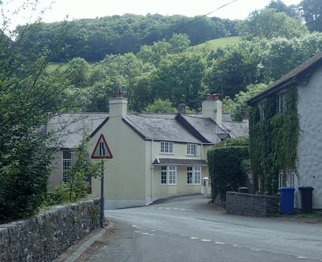
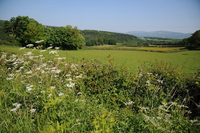
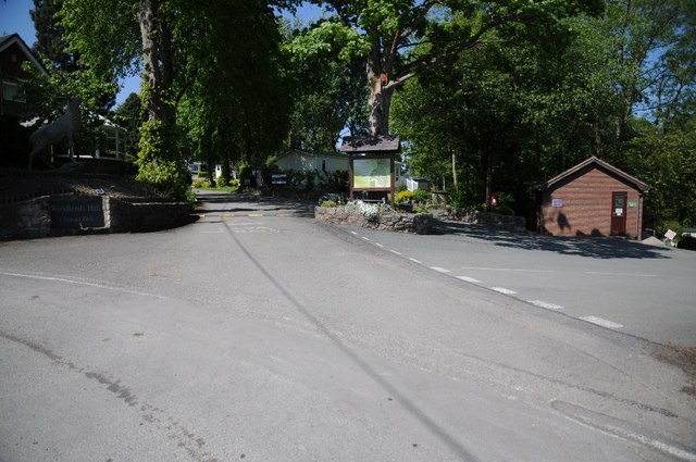
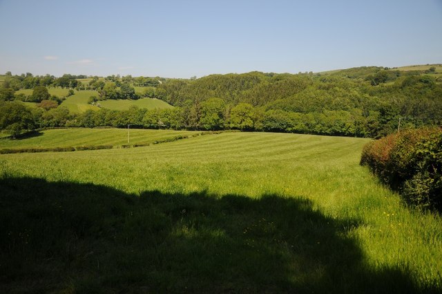
Bontuchel is located at Grid Ref: SJ0857 (Lat: 53.109265, Lng: -3.365227)

Unitary Authority: Denbighshire

Police Authority: North Wales

What 3 Words

///arching.prouder.embellish. Near Ruthin, Denbighshire

Nearby Locations

Bontuchel

Related Wikis

Bontuchel

Bontuchel is a hamlet in Denbighshire, Wales, located 2.8 miles (4.5 km) by road west of Ruthin. The father of Calvinist Isaac Hughes hailed from Bontuchel...

Denbighshire

Denbighshire ( DEN-bee-shər, -⁠sheer; Welsh: Sir Ddinbych [ˌsiːr ˈðɪnbɨχ]) is a county in the north-east of Wales. It borders the Irish Sea to the north...

Cyffylliog

Cyffylliog (also Y Gyffylliog in Welsh) is a village and community in Denbighshire, Wales. It is situated to the west of Ruthin on the banks of the River...

Llanfwrog, Denbighshire

Llanfwrog is a village in Denbighshire, in northern Wales. It hosts a church, Llanfwrog Church of St Mwrog and St Mary. The sturdy medieval tower of St...

Nearby Amenities

Located within 500m of 53.109265,-3.365227
Y Bontuchel
Place: village
Lat/Long: 53.1100389/-3.3705766
Waterway: weir
Lat/Long: 53.1094376/-3.3724214
Power: pole
Lat/Long: 53.1088433/-3.3684638
Power: pole
Lat/Long: 53.1094479/-3.3680856
Power: pole
Lat/Long: 53.1099274/-3.3672626
Power: pole
Lat/Long: 53.1104716/-3.3664204
Power: pole
Lat/Long: 53.1110808/-3.3718283
Power: pole
Lat/Long: 53.111105/-3.3703584
Power: pole
Lat/Long: 53.1111034/-3.3690361
Direction: SE
Generator Method: photovoltaic
Generator Output Electricity: yes
Generator Solar Modules: 6
Generator Source: solar
Generator Type: solar_photovoltaic_panel
Location: roof
Power: generator
Lat/Long: 53.1092737/-3.3694942
Post Box
Collection Times: Mo-Fr 10:00; Sa 10:00
Operator: Royal Mail
Operator Wikidata: Q638098
Post Box Type: lamp
Ref: LL15 33
Royal Cypher: EIIR
Royal Cypher Wikidata: Q33102113
Lat/Long: 53.1094984/-3.3704232
Bus Stop
Bench: yes
Bus: yes
Departures Board: yes
Public Transport: platform
Shelter: yes
Lat/Long: 53.1093707/-3.3710071
Defibrillator
Defibrillator Location: On wall to right of porch
Emergency: defibrillator
Indoor: no
Lat/Long: 53.1094524/-3.3692944
Post Box
Collection Times: Mo-Fr 09:00; Sa 07:15
Operator: Royal Mail
Operator Wikidata: Q638098
Post Box Type: lamp
Ref: LL15 55
Royal Cypher: EIIR
Royal Cypher Wikidata: Q33102113
Lat/Long: 53.10984/-3.3581393
Barrier: stile
Lat/Long: 53.1073944/-3.366593
The Piggery
Historic: monument
Lat/Long: 53.1094214/-3.3702789
The data included in this document is from www.openstreetmap.org. The data is made available under ODbL.

Have you been to Bontuchel?

Leave your review of Bontuchel below (or comments, questions and feedback).