Penybryn

Settlement in Caernarfonshire

Wales

Penybryn

No vehicles sign at the junction of Abercaseg Road and Ffordd Pant, Bethesda
No vehicles sign at the junction of Abercaseg Road and Ffordd Pant, Bethesda Credit: Meirion

Penybryn is a small rural village located in the historic county of Caernarfonshire in northwestern Wales. Situated on the northern slopes of the Nantlle Valley, it lies approximately 9 miles southeast of Caernarfon and is nestled amidst picturesque countryside.

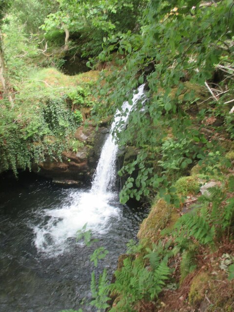
The village is known for its stunning natural beauty, surrounded by rolling hills and breathtaking views of the Snowdonia National Park. It is primarily an agricultural community, with farming being the main industry. The fertile lands surrounding Penybryn are utilized for sheep and cattle farming, contributing to the local economy.

Penybryn is a close-knit community with a small population, fostering a friendly and welcoming atmosphere. The village features a handful of traditional stone cottages, giving it a quaint charm. Despite its rural setting, amenities such as a local pub, church, and community center are available, serving as focal points for social activities and gatherings.

The village's location also offers numerous outdoor recreational opportunities. The nearby Nantlle Ridge offers breathtaking walks and hikes for outdoor enthusiasts, providing panoramic views of the surrounding landscape. Additionally, the nearby lake, Llyn Nantlle, is a popular spot for fishing and boating activities.

Overall, Penybryn offers a peaceful and idyllic setting, ideal for those seeking a tranquil escape amidst the stunning Welsh countryside. Its natural beauty, strong sense of community, and recreational opportunities make it an attractive destination for visitors and a cherished home for its residents.

If you have any feedback on the listing, please let us know in the comments section below.
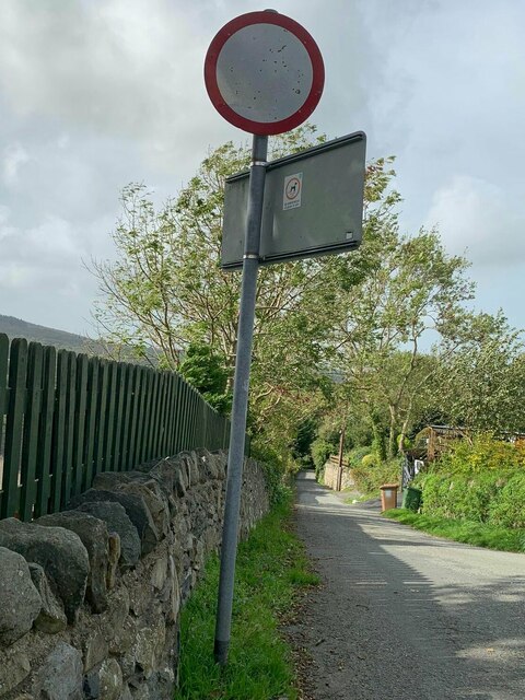
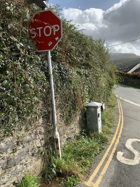
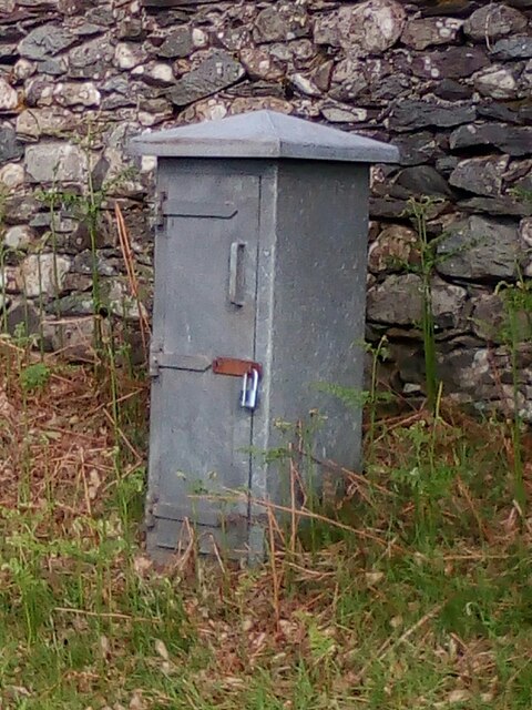
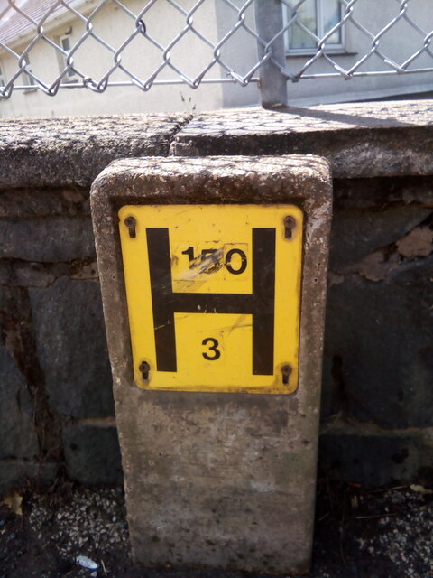
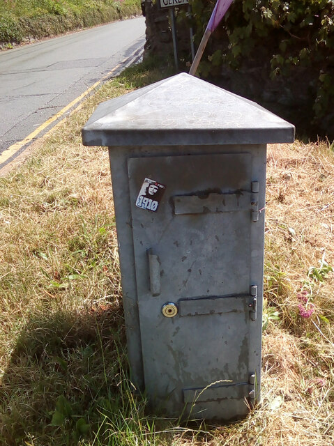
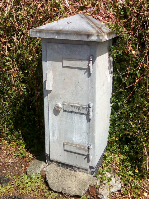
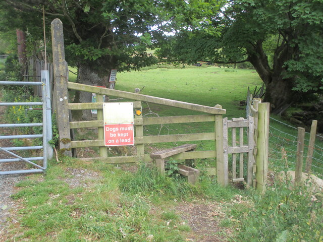
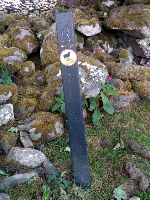
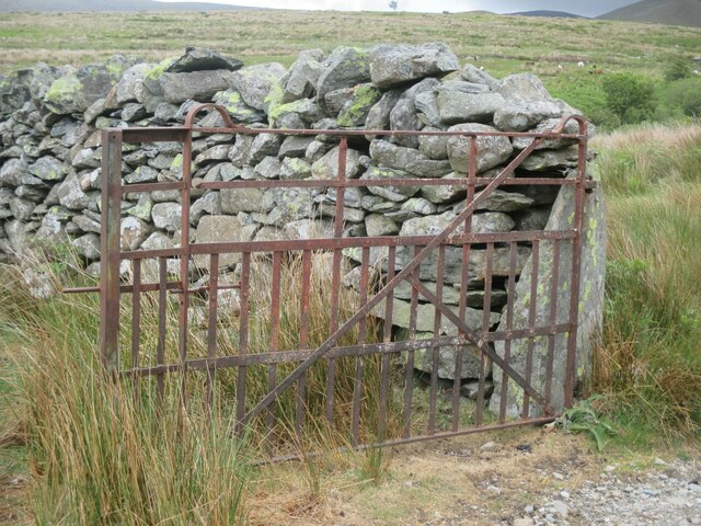
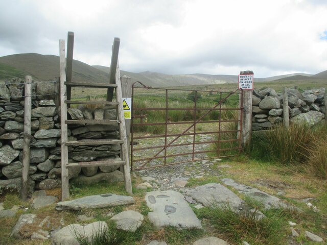
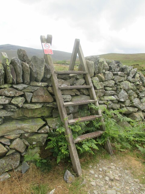
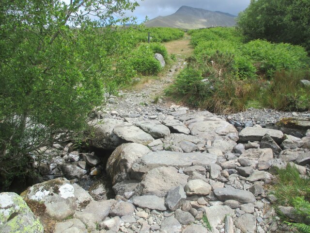
Penybryn Images

Images are sourced within 2km of 53.181048/-4.0573692 or Grid Reference SH6266. Thanks to Geograph Open Source API. All images are credited.

No vehicles sign at the junction of Abercaseg Road and Ffordd Pant, Bethesda
Stop sign at road junction, Bethesda
Electrical cabinet on Bangor Road, Bethesda
Hydrant sign on Ffordd Gerlan, Bethesda
Electrical cabinet on Ffordd Gerlan, Bethesda
Electrical cabinet on Carneddi Road, Bethesda
Stile and dog gate at the start of footpath, Gwernydd
Waymark post on footpath, Gwernydd Sheep grazing
Waymark post on footpath, Gwernydd
Sheep grazing
Old gate between fields, Gwernydd
Stile and gate, Gwernydd
Stile over wall, Gwernydd
Stone slab footbridge over stream, Gwernydd
Waterfall on Afon Caseg, Gwernydd
Hydrant marker on Gerlan Road, Bethesda
Elizabeth II post box on Braichmelyn, Bethesda LL57 21
Elizabeth II post box on Braichmelyn, Bethesda
LL57 21
Hydrant sign on Cefnfaes Road, Bethesda
Hydrant marker on Braichmelyn, Bethesda
Sluice valve marker at the junction of Station Road and Bangor Road, Bethesda
Show me another place!

Penybryn is located at Grid Ref: SH6266 (Lat: 53.181048, Lng: -4.0573692)

Unitary Authority: Gwynedd

Police Authority: North Wales

What 3 Words

///supposes.goodnight.mocked. Near Bethesda, Gwynedd

Related Wikis

Jerusalem Chapel, Bethesda

Jerusalem Chapel, Bethesda, Gwynedd, Wales is a Presbyterian Church of Wales chapel built in 1841–1842 and reconstructed in 1872–1875. Of colossal size...

Bethesda, Gwynedd

Bethesda (; Welsh: [bɛθ'ɛsda]) is a town and community in Gwynedd, Wales. It is on the banks of Afon Ogwen and on the edge of Snowdonia. It is 5 miles...

Pantdreiniog quarry

The Pantdreiniog quarry (also known as the Pant Dreiniog quarry) was a slate quarry within the town of Bethesda in North Wales. It was worked between about...

Cwm Caseg

Cwm Caseg is a broad glacial valley in Snowdonia leading west from the Carneddau towards Bethesda. It is bordered by Carnedd Llewelyn to the southeast...

Nearby Amenities

Located within 500m of 53.181048,-4.0573692
Bethesda
Name Cy: Bethesda
Name Ur: بتھیسڈا
Place: town
Wikidata: Q1883524
Lat/Long: 53.1809093/-4.0614444
Mini Roundabout
Direction: clockwise
Lat/Long: 53.180374/-4.0598925
Pub
Y Tarw
Name En: The Bull
Wikidata: Q80857578
Lat/Long: 53.1796959/-4.0623478
Pub
Douglas Arms
Addr Postcode: LL57 3AY
Addr Street: Stryd Fawr
Fhrs Id: 330822
Source Addr: FHRS Open Data
Wikidata: Q80583264
Lat/Long: 53.1788422/-4.059141
Pub
Y Llangollen
Addr Postcode: LL57 3AN
Internet Access: wlan
Source Addr: FHRS Open Data
Wikidata: Q80583257
Lat/Long: 53.1805412/-4.0633916
Pub
Vic and Neuadd Ogwen
Addr Postcode: LL57 3AN
Addr Street: Stryd Fawr
Source: survey
Source Addr: FHRS Open Data
Lat/Long: 53.1804964/-4.0632248
Post Box
Operator: Royal Mail
Operator Wikidata: Q638098
Ref: LL57 218
Royal Cypher: EIIR
Royal Cypher Wikidata: Q33102113
Lat/Long: 53.1795009/-4.0605581
Toilets
Lat/Long: 53.1800608/-4.0623021
War Memorial
Historic: memorial
Memorial: war_memorial
Lat/Long: 53.1793925/-4.0599352
Canolfan Cefnfaes
Building: public
Lat/Long: 53.1811749/-4.0639637
Historic: building
Inscription: The Bethesda Chapel.
Lat/Long: 53.1793946/-4.061594
Gorffwysfan
Building: public
Lat/Long: 53.1796366/-4.0615058
Police
Bethesda Police Station
Lat/Long: 53.1813067/-4.0627416
Bus Stop
Spar
Bench: no
Bus: yes
Public Transport: platform
Shelter: no
Lat/Long: 53.1793156/-4.0600299
Bus Stop
Spar
Bus: yes
Public Transport: platform
Shelter: yes
Lat/Long: 53.1795092/-4.0607067
Pub
Y Sior
Lat/Long: 53.183067/-4.0582993
Barrier: kissing_gate
Bicycle: yes
Foot: yes
Lat/Long: 53.1847809/-4.0610075
Power: pole
Lat/Long: 53.183723/-4.0621447
Power: pole
Lat/Long: 53.1829801/-4.0629833
Pub
Tŷ Isaf
Addr City: Bethesda
Addr Housenumber: 9
Addr Postcode: LL57 3AE
Addr Street: High Street
Opening Hours: Mo-Sa 11:30-23:30;Su 11:00-11:00
Phone: +44 1248 601482
Lat/Long: 53.180817/-4.0645032
Pharmacy
Moss
Dispensing: yes
Healthcare: pharmacy
Lat/Long: 53.1806089/-4.0637585
Leisure: playground
Lat/Long: 53.1789019/-4.0615266
Bus Stop
Bus: yes
Public Transport: platform
Lat/Long: 53.1778765/-4.0577961
Bus Stop
Bus: yes
Naptan AtcoCode: 5400AWF80937
Naptan NaptanCode: gwnapmj
Public Transport: platform
Lat/Long: 53.1769303/-4.0574947
Bus Stop
Bus: yes
Naptan AtcoCode: 5400GYX17580
Naptan NaptanCode: gwnapmp
Public Transport: platform
Shelter: no
Lat/Long: 53.1769002/-4.0577172
Bus Stop
Bus: yes
Naptan AtcoCode: 5400WDB23729
Naptan NaptanCode: gwntmap
Public Transport: platform
Lat/Long: 53.178673/-4.0560698
Noexit: yes
Lat/Long: 53.1791723/-4.0561257
Bus Stop
Bus: yes
Naptan AtcoCode: 5400AWF80943
Naptan NaptanCode: gwnapjg
Public Transport: platform
Lat/Long: 53.1783673/-4.056067
Post Box
Operator: Royal Mail
Operator Wikidata: Q638098
Ref: LL57 280
Lat/Long: 53.178362/-4.0561846
Barrier: kissing_gate
Foot: yes
Lat/Long: 53.178672/-4.0605206
Bus Stop
Bus: yes
Naptan AtcoCode: 5400AWF80950
Naptan NaptanCode: gwnapmt
Public Transport: platform
Lat/Long: 53.1813734/-4.0571604
Barrier: kissing_gate
Foot: yes
Lat/Long: 53.1830964/-4.0553224
Post Box
Operator: Royal Mail
Operator Wikidata: Q638098
Ref: LL57 123
Lat/Long: 53.182386/-4.0575965
Sheffield Stores
Shop: convenience
Lat/Long: 53.182348/-4.0575014
Post Box
Operator: Royal Mail
Operator Wikidata: Q638098
Ref: LL57 235
Lat/Long: 53.1804642/-4.0537084
Bus Stop
Bus: yes
Public Transport: platform
Lat/Long: 53.1799114/-4.056058
Power: pole
Lat/Long: 53.1843124/-4.0615258
Power: pole
Lat/Long: 53.1847111/-4.0611047
Power: pole
Lat/Long: 53.1822466/-4.0637581
Restaurant
Sitar Indian Take Away
Addr City: Bethesda
Addr Housenumber: 5-7
Addr Postcode: LL57 3AE
Addr Street: High Street
Cuisine: indian
Fhrs Id: 570833
Fixme: name suggests this might be a taweaway not a restauant
Opening Hours: Mo-Th 12:00-14:00, 17:00-23:00, Fr 12:00-14:00, 17:00-00:00; Sa 12:00-14:00, 17:00-23:30; Su 12:00-14:00, 17:00-23:30
Phone: +44 1248 602937
Lat/Long: 53.1808508/-4.06464
Power: pole
Lat/Long: 53.1853327/-4.057769
Power: pole
Lat/Long: 53.1836198/-4.0547029
Power: pole
Lat/Long: 53.1819342/-4.0521892
Power: pole
Lat/Long: 53.183083/-4.0539519
Power: pole
Lat/Long: 53.1825265/-4.0530968
Noexit: yes
Lat/Long: 53.17957/-4.0562079
Source: Bing
Traffic Calming: hump
Lat/Long: 53.1769353/-4.0568346
Source: Bing
Traffic Calming: hump
Lat/Long: 53.1770476/-4.0557797
Source: Bing
Traffic Calming: hump
Lat/Long: 53.1769084/-4.0574525
Source: Bing
Traffic Calming: hump
Lat/Long: 53.1778205/-4.0561418
Source: Bing
Traffic Calming: hump
Lat/Long: 53.1776495/-4.0566287
Fast Food
Dwr-y-Mynydd
Addr Full: 7 Rhes Ogwen Stryd Fawr Bethesda Bangor GwyneddLL57 3AY
Addr Housenumber: 7
Addr Postcode: LL57 3AY
Addr Street: Rhes Ogwen
Cuisine: chinese
Fhrs Id: 330967
Fixme: chinese characters, need checking
Name En: Mountain Water
Name Zh: 山水
Source: Mapillary
Source Addr: FHRS Open Data
Lat/Long: 53.1793503/-4.0606554
Est Maxheight: 2
Maxheight: unknown
Source: Mapillary
Lat/Long: 53.1794798/-4.0603798
Crossing
Crossing: traffic_signals
Crossing Island: no
Crossing Ref: pelican
Source: Mapillary
Lat/Long: 53.1794657/-4.0610059
Cafe
Caffi Ogwen
Lat/Long: 53.1796011/-4.0621813
Police
Source: Mapillary
Lat/Long: 53.1806669/-4.0639678
Fixme: still open
Shop: yes
Source: Mapillary
Lat/Long: 53.1800593/-4.0625732
Gender: male
Shop: hairdresser
Source: Mapillary
Lat/Long: 53.1795529/-4.0620955
Fixme: still open
Shop: yes
Source: Mapillary
Lat/Long: 53.1799821/-4.0625383
Fixme: still open
Shop: yes
Source: Mapillary
Lat/Long: 53.1798936/-4.0625062
Addr Housenumber: 2
Addr Postcode: LL57 3AY
Source: Mapillary
Lat/Long: 53.1793793/-4.061149
Fast Food
Addr Housenumber: 54
Addr Postcode: LL57 3AN
Addr Street: Stryd Fawr
Cuisine: fish_and_chips
Fhrs Id: 40827
Source: Mapillary
Source Addr: FHRS Open Data
Lat/Long: 53.1801846/-4.0623318
Bus Stop
Bench: no
Bus: yes
Public Transport: platform
Shelter: no
Source: Mapillary
Lat/Long: 53.1806894/-4.063949
Crossing
Crossing: traffic_signals
Crossing Ref: pelican
Source: Mapillary
Lat/Long: 53.1803082/-4.0626361
Fixme: still open
Shop: yes
Source: Mapillary
Lat/Long: 53.1803068/-4.0624498
Ty Lorne House
Name Cy: Ty Lorne
Name En: Lorne House
Shop: yes
Source: Mapillary
Lat/Long: 53.1795031/-4.0619027
Fixme: still open
Shop: yes
Source: Mapillary
Lat/Long: 53.1801171/-4.0626027
Addr Housenumber: 1
Source: Mapillary
Lat/Long: 53.1793969/-4.0612375
Fixme: still open
Shop: yes
Source: Mapillary
Lat/Long: 53.1802408/-4.0623801
Pub
Kings Head
Source: survey
Wikidata: Q29495914
Lat/Long: 53.180228/-4.0626805
Fast Food
Junction Chinese
Addr City: Bethesda
Addr Housenumber: 11
Addr Postcode: LL57 3AE
Addr Street: Stryd Fawr
Fhrs Id: 62756
Source Addr: FHRS Open Data
Lat/Long: 53.1807874/-4.0643913
Fast Food
Y Mabignion
Addr Street: Stryd Fawr
Cuisine: fish_and_chips
Source: Mapillary
Lat/Long: 53.1796442/-4.0622623
Copa
Shop: yes
Source: Mapillary
Lat/Long: 53.1795867/-4.0610926
Cilfodan
Place: hamlet
Lat/Long: 53.182211/-4.0540402
Bontuchaf
Place: hamlet
Lat/Long: 53.1811012/-4.0535265
Place Of Worship
Lat/Long: 53.1784453/-4.051302
Pant
Place: hamlet
Lat/Long: 53.1784962/-4.0543261
Power: pole
Lat/Long: 53.1844903/-4.0565361
Cafe
Fitzpatrick's
Lat/Long: 53.1808843/-4.0640943
Power: substation
Lat/Long: 53.181886/-4.064091
Power: substation
Lat/Long: 53.182469/-4.058068
Power: substation
Lat/Long: 53.180118/-4.063094
Power: substation
Lat/Long: 53.179492/-4.059232
Power: pole
Lat/Long: 53.1812941/-4.0511893
Power: pole
Lat/Long: 53.1817269/-4.0506635
Power: pole
Lat/Long: 53.1819979/-4.0647008
Church
Lat/Long: 53.1799234/-4.0618587
Bus Stop
Fford Pant / Pant Road
Bus: yes
Public Transport: platform
Source: visit
Lat/Long: 53.1771325/-4.0566461
Direction: 215
Generator Method: photovoltaic
Generator Output Electricity: yes
Generator Solar Modules: 6
Generator Source: solar
Generator Type: solar_photovoltaic_panel
Location: roof
Power: generator
Lat/Long: 53.179986/-4.0634971
Direction: 215
Generator Method: photovoltaic
Generator Output Electricity: yes
Generator Solar Modules: 6
Generator Source: solar
Generator Type: solar_photovoltaic_panel
Location: roof
Power: generator
Lat/Long: 53.1800013/-4.063424
Direction: SSW
Generator Method: photovoltaic
Generator Output Electricity: yes
Generator Solar Modules: 13
Generator Source: solar
Generator Type: solar_photovoltaic_panel
Location: roof
Power: generator
Lat/Long: 53.1789906/-4.0538606
Direction: SSW
Generator Method: photovoltaic
Generator Output Electricity: yes
Generator Solar Modules: 13
Generator Source: solar
Generator Type: solar_photovoltaic_panel
Location: roof
Power: generator
Lat/Long: 53.1790127/-4.0539498
Direction: SW
Generator Method: photovoltaic
Generator Output Electricity: yes
Generator Solar Modules: 16
Generator Source: solar
Generator Type: solar_photovoltaic_panel
Location: roof
Power: generator
Lat/Long: 53.1805648/-4.0584706
Direction: SSW
Generator Method: photovoltaic
Generator Output Electricity: yes
Generator Solar Modules: 10
Generator Source: solar
Generator Type: solar_photovoltaic_panel
Location: roof
Power: generator
Lat/Long: 53.1817924/-4.0585115
Direction: 185
Generator Method: photovoltaic
Generator Output Electricity: yes
Generator Solar Modules: 8
Generator Source: solar
Generator Type: solar_photovoltaic_panel
Location: roof
Power: generator
Lat/Long: 53.1817954/-4.0597725
Direction: 185
Generator Method: photovoltaic
Generator Output Electricity: yes
Generator Solar Modules: 10
Generator Source: solar
Generator Type: solar_photovoltaic_panel
Location: roof
Power: generator
Lat/Long: 53.1817558/-4.0592374
Direction: WSW
Generator Method: photovoltaic
Generator Output Electricity: yes
Generator Solar Modules: 8
Generator Source: solar
Generator Type: solar_photovoltaic_panel
Location: roof
Power: generator
Lat/Long: 53.1827361/-4.0587631
Direction: ENE
Generator Method: photovoltaic
Generator Output Electricity: yes
Generator Solar Modules: 8
Generator Source: solar
Generator Type: solar_photovoltaic_panel
Location: roof
Power: generator
Lat/Long: 53.1827482/-4.0587051
Direction: SW
Generator Method: photovoltaic
Generator Output Electricity: yes
Generator Solar Modules: 11
Generator Source: solar
Generator Type: solar_photovoltaic_panel
Location: roof
Power: generator
Lat/Long: 53.1833554/-4.0575794
Direction: 145
Generator Method: photovoltaic
Generator Output Electricity: yes
Generator Solar Modules: 12
Generator Source: solar
Generator Type: solar_photovoltaic_panel
Location: roof
Power: generator
Lat/Long: 53.183017/-4.0574406
Bench
Lat/Long: 53.1790143/-4.0525516
Bench
Lat/Long: 53.1795548/-4.06358
Cafe
Lat/Long: 53.1796351/-4.0608025
The data included in this document is from www.openstreetmap.org. The data is made available under ODbL.

Have you been to Penybryn?

Leave your review of Penybryn below (or comments, questions and feedback).