Blenkinsopp Hall
Settlement in Northumberland
England
Blenkinsopp Hall

Blenkinsopp Hall is a historic mansion located in the picturesque countryside of Northumberland, England. Situated near the village of Greenhead, the hall dates back to the 13th century and stands as a testament to the region's rich architectural heritage.
The hall is a Grade I listed building, renowned for its impressive medieval and Jacobean features. The original structure was built in the 1200s by the Blenkinsopp family, prominent landowners in the area. Over the centuries, the hall underwent various alterations and expansions, resulting in a unique blend of architectural styles.
The exterior of Blenkinsopp Hall is characterized by its striking sandstone façade, adorned with beautiful mullioned windows and intricate stone carvings. The building is surrounded by meticulously landscaped gardens, offering visitors a tranquil and serene atmosphere.
Inside, the hall boasts grand reception rooms, elegant drawing rooms, and a magnificent oak-paneled dining room that exudes opulence and grandeur. The interiors are adorned with ornate plasterwork, intricate woodwork, and a remarkable collection of antique furniture and artwork.
In addition to its architectural significance, Blenkinsopp Hall is also steeped in history. It played a role in the border conflicts between England and Scotland during the medieval period and was used as a military hospital during World War II.
Today, Blenkinsopp Hall serves as a private residence, offering a glimpse into the grandeur of a bygone era. Though not open to the public, the hall's presence in the Northumberland countryside adds to the region's cultural and historical allure.
If you have any feedback on the listing, please let us know in the comments section below.
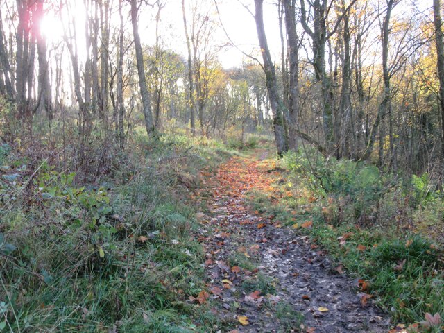
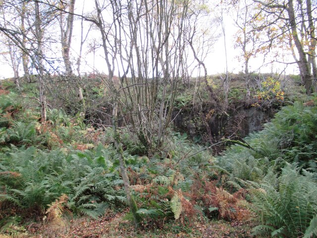
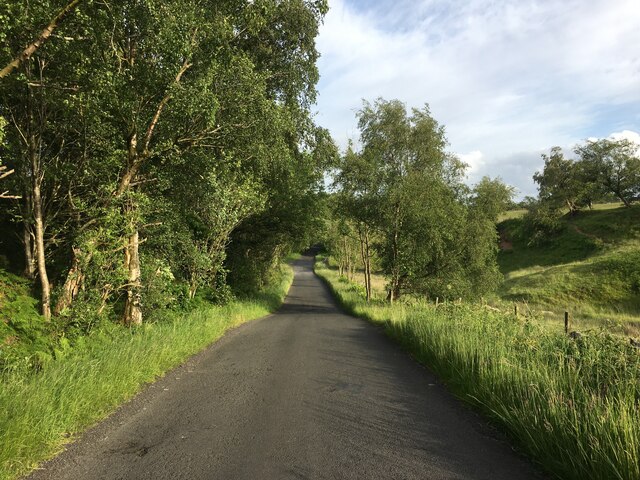
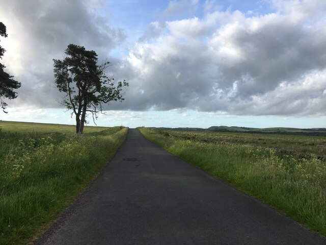
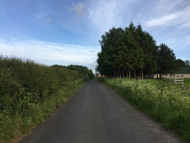
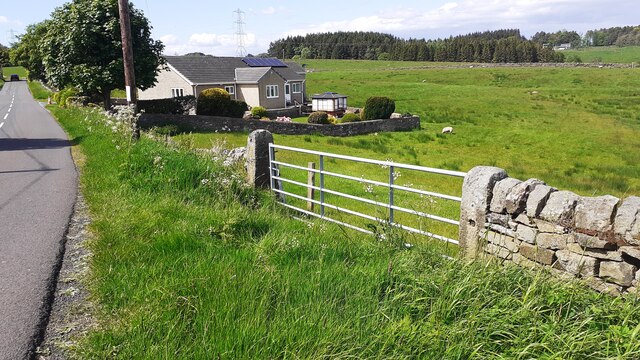
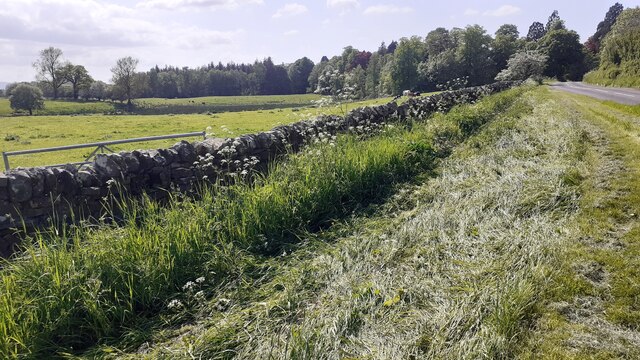
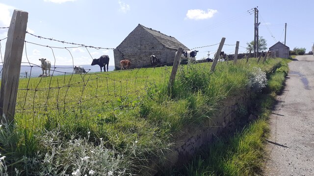
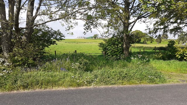
Blenkinsopp Hall Images
Images are sourced within 2km of 54.969585/-2.5013868 or Grid Reference NY6864. Thanks to Geograph Open Source API. All images are credited.


Blenkinsopp Hall is located at Grid Ref: NY6864 (Lat: 54.969585, Lng: -2.5013868)
Unitary Authority: Northumberland
Police Authority: Northumbria
What 3 Words
///reclusive.unwind.pounces. Near Greenhead, Northumberland
Nearby Locations
Related Wikis

Blenkinsop Hall
Blenkinsop Hall (grid reference NY68186412) is a privately owned castellated 19th-century country house situated on the banks of the Tipalt Burn near Greenhead...

Blenkinsopp Castle
Blenkinsopp Castle (spelled Blenkinsop in many records) is a fire-damaged, partly demolished 19th-century country mansion, incorporating the ruinous remains...

Burnfoot River Shingle and Wydon Nabb
Burnfoot River Shingle and Wydon Nabb is the name given to a Site of Special Scientific Interest (SSSI) in Northumberland, North East England. Burnfoot...
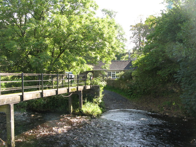
Tipalt Burn
Tipalt Burn is a burn which lies to the east of Greenhead, Northumberland. The burn passes several historical sites such as Thirlwall Castle and discharges...

Greenhead, Northumberland
Greenhead is a village in Northumberland, England. The village is on the Military Road (B6318), about 17 miles (27 km) from Chollerford, 3 miles (5 km...

Magnis (Carvoran)
Magnis or Magna was a Roman fort on Hadrian's Wall in northern Britain. Its ruins are now known as Carvoran Roman Fort and are located near Carvoran, Northumberland...

Bellister Castle
Bellister Castle is a National Trust owned castellated 19th-century mansion house attached to the ruinous remains of a 14th-century tower house, near...
Alloa Lea Quarry Cave
Alloa Lea Quarry Cave is a short cave in the Five Yard Limestone of the Alston Block in Northumberland, England. It is situated in an old quarry on the...
Nearby Amenities
Located within 500m of 54.969585,-2.5013868Have you been to Blenkinsopp Hall?
Leave your review of Blenkinsopp Hall below (or comments, questions and feedback).