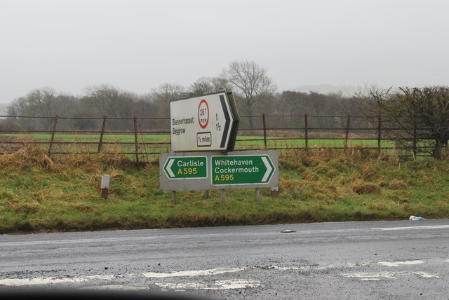
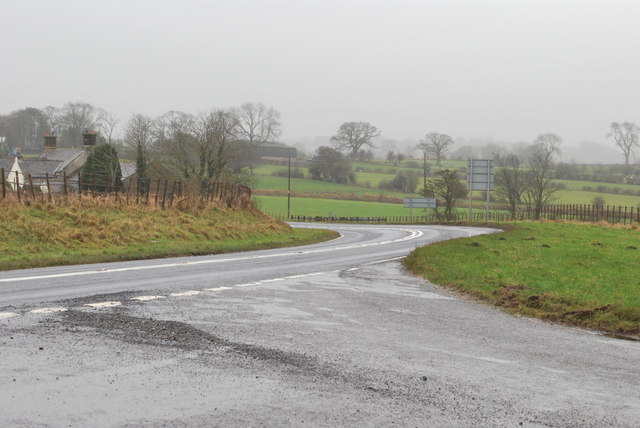
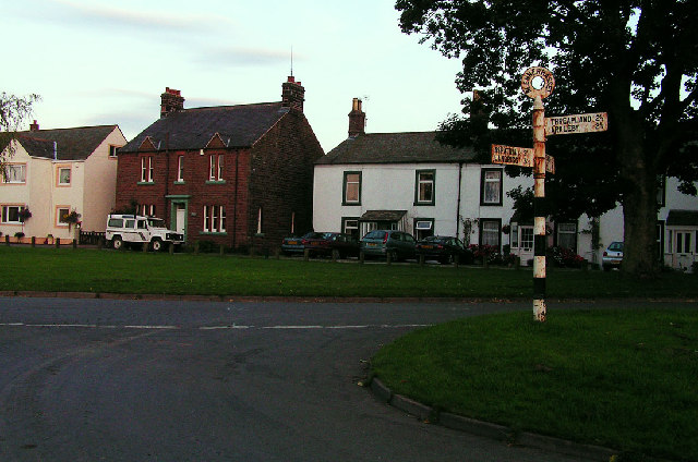
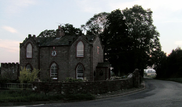
Blennerhasset

Settlement in Cumberland Allerdale

England

Blennerhasset

Old Milestone by the A595 near Kirkland Green Metal plate attached to stone post by the A595, in parish of BOTHEL AND THREAPLAND (ALLERDALE District), Overgates, Kirkland Green, on grass verge, on North side of road. Carlisle red stone and curved plate, erected by the Cockermouth & Carlisle turnpike trust in the 19th century. 

Inscription reads:-
CARLISLE
18 MILES
WIGTON
7 MILES
COCKERMOUTH
8½ MILES

Grade II Listed. List Entry Number: 1144497
<span class="nowrap"><a title="https://historicengland.org.uk/listing/the-list/list-entry/1144497" rel="nofollow ugc noopener" href="https://historicengland.org.uk/listing/the-list/list-entry/1144497">Link</a><img style="margin-left:2px;" alt="External link" title="External link - shift click to open in new window" src="https://s1.geograph.org.uk/img/external.png" width="10" height="10"/></span>

Milestone Society National ID: CU_CLCM19.
Old Milestone by the A595 near Kirkland Green Credit: Barbara Todd

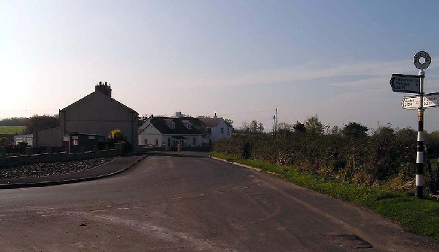
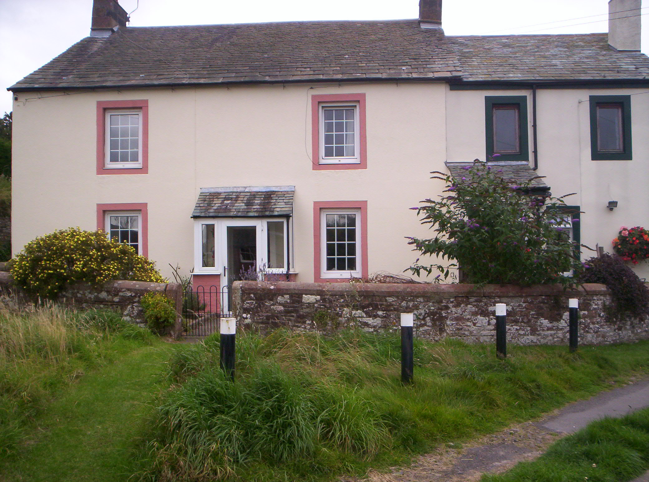
Blennerhasset is a small village located in Cumberland, England. Situated on the western bank of the River Derwent, it is part of the Allerdale district. With a population of around 300 residents, the village exudes a peaceful and rural atmosphere.

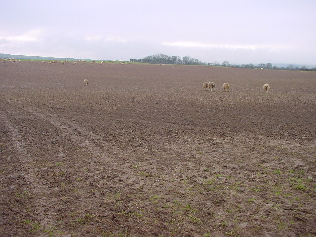
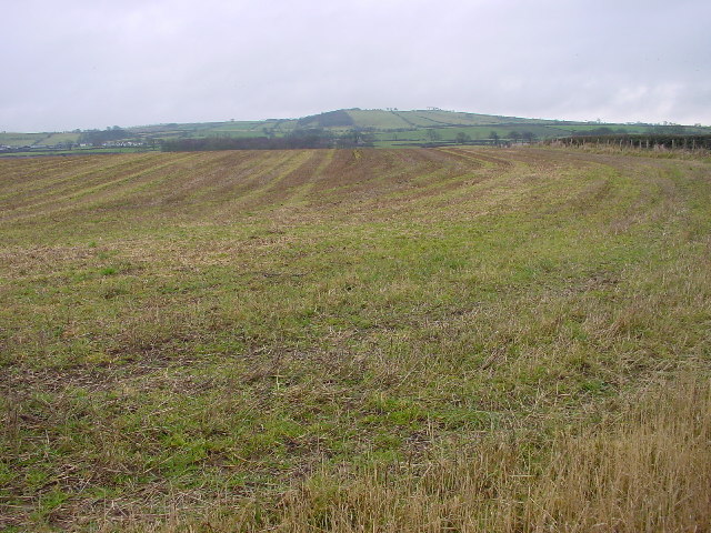
The history of Blennerhasset dates back to the Roman era, as evidenced by the discovery of ancient artifacts in the vicinity. During the medieval period, the village became known for its agriculture, with farming and livestock rearing being the primary sources of livelihood for its inhabitants.

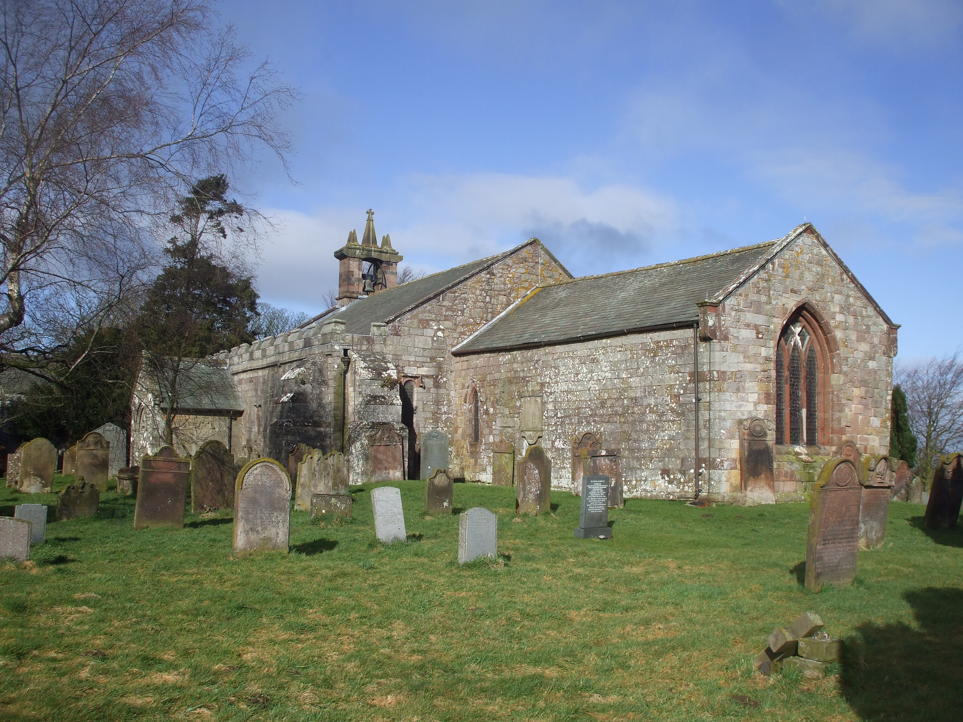
One of the notable landmarks in Blennerhasset is St. John the Evangelist Church, a beautiful stone structure that dates back to the 12th century. This historic church attracts visitors with its stunning architecture and serene surroundings. Additionally, the village is home to a well-regarded primary school, which plays a crucial role in the local community.

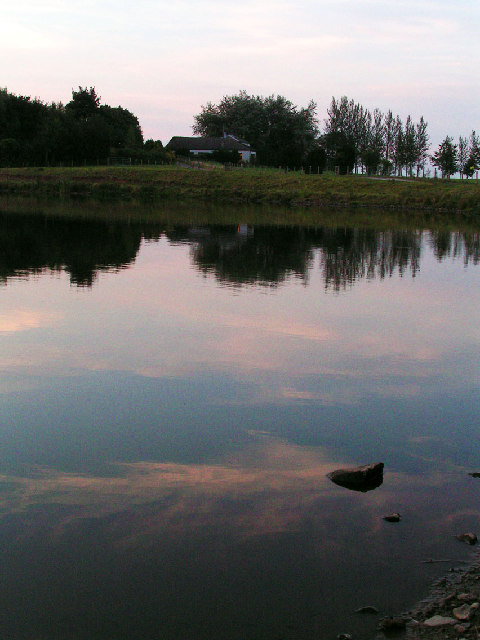
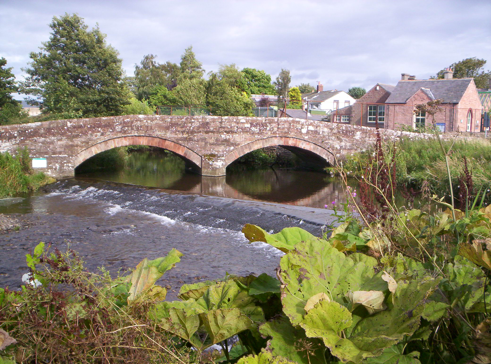
Blennerhasset's picturesque location along the River Derwent offers a range of recreational opportunities for residents and visitors alike. The river provides an ideal setting for fishing, boating, and riverside walks, allowing individuals to enjoy the tranquility of the countryside.

While Blennerhasset is a small village, it benefits from its close proximity to nearby towns such as Cockermouth and Workington. These towns offer a wider range of amenities and services, including shopping centers, schools, and healthcare facilities.

Overall, Blennerhasset is a charming village with a rich history and natural beauty, making it an appealing place to reside or visit for those seeking a peaceful and idyllic setting.

If you have any feedback on the listing, please let us know in the comments section below.

Blennerhasset Images

Images are sourced within 2km of 54.76099/-3.27743 or Grid Reference NY1741. Thanks to Geograph Open Source API. All images are credited.

Old Milestone by the A595 near Kirkland Green Metal plate attached to stone post by the A595, in parish of BOTHEL AND THREAPLAND (ALLERDALE District), Overgates, Kirkland Green, on grass verge, on North side of road. Carlisle red stone and curved plate, erected by the Cockermouth & Carlisle turnpike trust in the 19th century. 

Inscription reads:-
CARLISLE
18 MILES
WIGTON
7 MILES
COCKERMOUTH
8½ MILES

Grade II Listed. List Entry Number: 1144497
<span class="nowrap"><a title="https://historicengland.org.uk/listing/the-list/list-entry/1144497" rel="nofollow ugc noopener" href="https://historicengland.org.uk/listing/the-list/list-entry/1144497">Link</a><img style="margin-left:2px;" alt="External link" title="External link - shift click to open in new window" src="https://s1.geograph.org.uk/img/external.png" width="10" height="10"/></span>

Milestone Society National ID: CU_CLCM19.
Old Milestone by the A595 near Kirkland Green
Metal plate attached to stone post by the A595, in parish of BOTHEL AND THREAPLAND (ALLERDALE District), Overgates, Kirkland Green, on grass verge, on North side of road. Carlisle red stone and curved plate, erected by the Cockermouth & Carlisle turnpike trust in the 19th century. Inscription reads:- CARLISLE 18 MILES WIGTON 7 MILES COCKERMOUTH 8½ MILES Grade II Listed. List Entry Number: 1144497 LinkExternal link Milestone Society National ID: CU_CLCM19.
Gate across footpath heading northeast from Fitz
Benchmark on top of north parapet of road bridge over Gill Gooden Ordnance Survey rivet benchmark levelled at 55.073m above Newlyn Datum verified 1971
Benchmark on top of north parapet of road bridge over Gill Gooden
Ordnance Survey rivet benchmark levelled at 55.073m above Newlyn Datum verified 1971
Benchmark on footpath stile post on south side of road SE of Fitz Ordnance Survey pivot benchmark levelled at 61.470m above Newlyn Datum verified 1971
Benchmark on footpath stile post on south side of road SE of Fitz
Ordnance Survey pivot benchmark levelled at 61.470m above Newlyn Datum verified 1971
Squeeze stile for footpath to Bothel from minor road southeast of Fitz There is an Ordnance Survey benchmark <a href="https://www.geograph.org.uk/photo/7654165">NY1640 : Benchmark on footpath stile post on south side of road SE of Fitz</a> on top of the left hand stone post of the stile
Squeeze stile for footpath to Bothel from minor road southeast of Fitz
There is an Ordnance Survey benchmark NY1640 : Benchmark on footpath stile post on south side of road SE of Fitz on top of the left hand stone post of the stile
Footpath to Bothel beside field hedge on misty day
Farm buildings at Fitz
Farmhouse at Fitz
Farmhouse at Fitz
Sign Posts at Low Woodnook A595 Junction of the A595 with the Blennerhasset turnoff (un named).
Sign Posts at Low Woodnook A595
Junction of the A595 with the Blennerhasset turnoff (un named).
A595 junction at Low Woodnock Looking in the direction of the West Coast (Whitehaven, Cockermouth etc).
A595 junction at Low Woodnock
Looking in the direction of the West Coast (Whitehaven, Cockermouth etc).
Open Farmland, Blennerhasset A view across open farmland to Gilgooden Bothie (the copse in the middle distance). The microwave relay station at Moota Hill is visible on the horizon.
Open Farmland, Blennerhasset
A view across open farmland to Gilgooden Bothie (the copse in the middle distance). The microwave relay station at Moota Hill is visible on the horizon.
Blennerhasset, Village Green Blennerhasset translates roughly as 'hay field on the summit' with the first half of the name having a Celtic origin and the latter part Scandinavian.
Blennerhasset, Village Green
Blennerhasset translates roughly as 'hay field on the summit' with the first half of the name having a Celtic origin and the latter part Scandinavian.
Cockgate, near Blennerhasset A rather imposing house at the junction of two relatively minor roads between Blennerhasset and Aspatria.
Cockgate, near Blennerhasset
A rather imposing house at the junction of two relatively minor roads between Blennerhasset and Aspatria.
Brayton Park, Aspatria Brayton Park is a golf course. The club house and restaurant is visible in the background. It also features a lake which hosts regular fishing competitions.
Brayton Park, Aspatria
Brayton Park is a golf course. The club house and restaurant is visible in the background. It also features a lake which hosts regular fishing competitions.
Harriston, Aspatria Harriston was a colliery village serving the Brayton Domain mine. It was named after Josef Harris, the mine owner, who built reading rooms for the miners.
Harriston, Aspatria
Harriston was a colliery village serving the Brayton Domain mine. It was named after Josef Harris, the mine owner, who built reading rooms for the miners.
Watchhill, nr Aspatria The B5299 turns sharply right at Watchhill between Aspatria on the A596 and Mealsgate on the A595
Watchhill, nr Aspatria
The B5299 turns sharply right at Watchhill between Aspatria on the A596 and Mealsgate on the A595
Texels at Mechi Texel is the breed of sheep, Mechi is the nearby farm.
Texels at Mechi
Texel is the breed of sheep, Mechi is the nearby farm.
Stubble Field Near Blennerhasset
Stubble Field
Near Blennerhasset
Show me another place!

Blennerhasset is located at Grid Ref: NY1741 (Lat: 54.76099, Lng: -3.27743)

Administrative County: Cumbria

District: Allerdale

Police Authority: Cumbria

What 3 Words

///sneezing.burden.memory. Near Aspatria, Cumbria

Related Wikis

Baggrow railway station

Baggrow railway station was in the former county of Cumberland, now Cumbria, England. It was a stop on the Bolton Loop (sometimes referred to as the "Mealsgate...

Harbybrow

Harbybrow is a small settlement in the parish of Allhallows, Cumbria, England. Consisting of two inhabited dwellings - the old manor house and nearby mill...

Baggrow

Baggrow is a small village situated north of the Lake District National Park in the English county of Cumbria, historically within Cumberland. In many...

Brayton Hall

Brayton Hall is a ruined former mansion in Cumbria, England. Once the ancestral seat of the Lawson family, it stood in a large park, with views of the...

Allhallows, Cumbria

Allhallows is a civil parish in Cumbria, England. It has a population of 548 (2001 census), reducing slightly to 546 at the 2011 Census. The parish includes...

Watchhill

Watchhill is a hamlet in the parish of Allhallows, Cumbria, England. The parish had 538 recorded residents in the 2001 census. Watchhill is sited near...

Brayton Park

Brayton Park is a hamlet in Cumbria, England. It contains a small lake, notable for its fishing. == References ==

Blennerhasset and Torpenhow

Blennerhasset and Torpenhow (locally and ) is a civil parish in Cumbria, England. According to the 2001 census it had a population of 437, reducing to...

Nearby Amenities

Located within 500m of 54.76099,-3.27743
Blennerhasset
Place: village
Source: npe
Lat/Long: 54.762456/-3.2792348
Bus Stop
Village Green (N bound)
Bench: no
Covered: yes
Naptan AtcoCode: 090002072301
Naptan Bearing: N
Naptan CommonName: Village Green (N bound)
Naptan Indicator: o/s
Naptan Landmark: Glenlea by village green
Naptan NaptanCode: cumadajp
Naptan Street: No name
Naptan Verified: no
Shelter: yes
Source: naptan_import
Lat/Long: 54.7622071/-3.2783204
Village Green (S bound)
Naptan AtcoCode: 090002073261
Naptan Bearing: S
Naptan BusStopType: CUS
Naptan CommonName: Village Green (S bound)
Naptan Indicator: opp
Naptan Landmark: Glenlea by village green
Naptan NaptanCode: cumadajw
Naptan Street: No name
Naptan Verified: no
Source: naptan_import
Lat/Long: 54.762228/-3.2780413
Post Box
Ref: CA7 230
Lat/Long: 54.7621742/-3.2783215
Bench
Lat/Long: 54.7618603/-3.2781487
Bench
Lat/Long: 54.7617606/-3.2784312
Historic: monument
Lat/Long: 54.7618239/-3.2784873
Power: pole
Lat/Long: 54.7579841/-3.2720891
Power: pole
Lat/Long: 54.7577563/-3.2735917
Power: pole
Lat/Long: 54.7574832/-3.2753858
Power: pole
Lat/Long: 54.7571803/-3.2771344
Power: pole
Lat/Long: 54.7568535/-3.2787797
Power: pole
Lat/Long: 54.7578744/-3.2823079
Power: pole
Lat/Long: 54.7587677/-3.2825085
Power: pole
Lat/Long: 54.7595763/-3.2826902
Power: pole
Lat/Long: 54.7600152/-3.2828018
Power: pole
Lat/Long: 54.7606997/-3.2820557
Power: pole
Lat/Long: 54.7610706/-3.2816671
Power: pole
Lat/Long: 54.7616347/-3.2810615
Power: pole
Lat/Long: 54.762064/-3.27978
Power: pole
Lat/Long: 54.762454/-3.2788685
Power: pole
Lat/Long: 54.7585268/-3.2831057
Power: pole
Lat/Long: 54.758299/-3.2836803
Power: pole
Lat/Long: 54.7610265/-3.2810863
Power: pole
Lat/Long: 54.7646057/-3.2771192
Power: pole
Lat/Long: 54.7631879/-3.2761402
The data included in this document is from www.openstreetmap.org. The data is made available under ODbL.

Have you been to Blennerhasset?

Leave your review of Blennerhasset below (or comments, questions and feedback).