Baggrow

Settlement in Cumberland Allerdale

England

Baggrow

Gate across footpath heading northeast from Fitz
Gate across footpath heading northeast from Fitz Credit: Roger Templeman

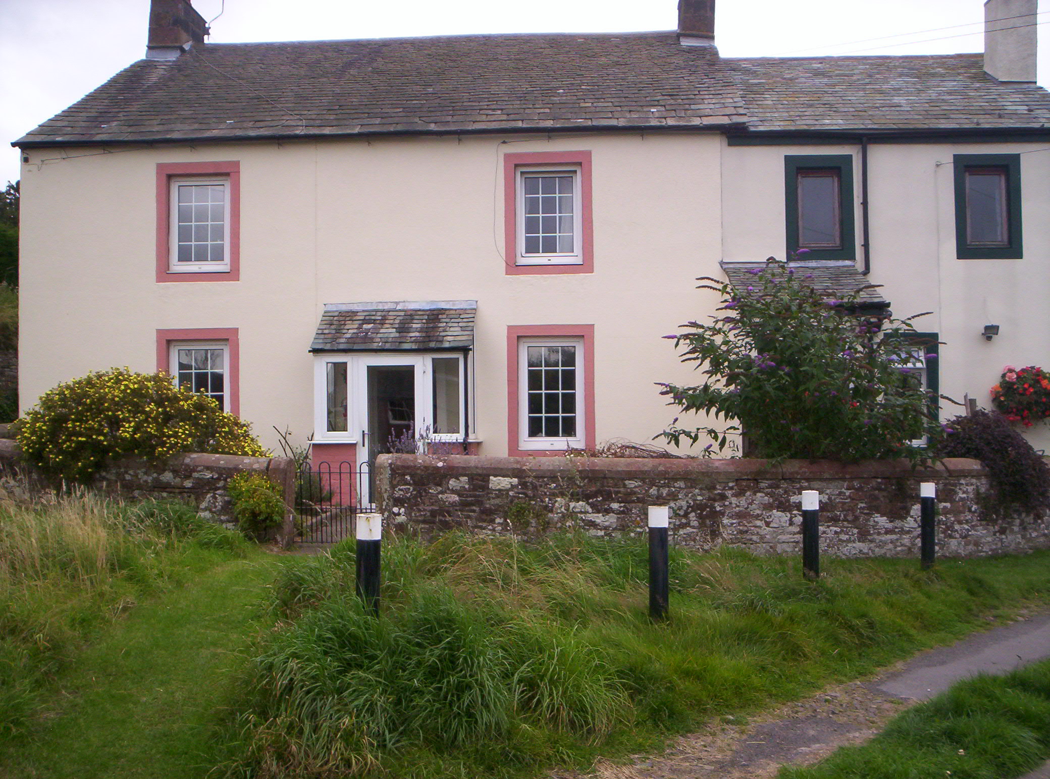
Baggrow is a small village located in the county of Cumberland, in the northwest of England. Situated in the picturesque region of the Lake District, Baggrow offers a tranquil and idyllic setting for its residents and visitors alike. The village is nestled amidst stunning countryside, characterized by rolling hills, lush green fields, and breathtaking views.

With a population of around 200 people, Baggrow is a close-knit community that exudes a strong sense of charm and friendliness. The village is known for its tight-knit community spirit, with local events and gatherings playing a vital role in bringing the residents together.

Baggrow is primarily a residential area, with a mix of traditional stone cottages and more modern houses. The village is dotted with beautiful gardens and well-maintained public spaces, adding to its aesthetic appeal. While there are no major amenities within the village itself, nearby towns provide essential services such as shops, schools, and healthcare facilities.

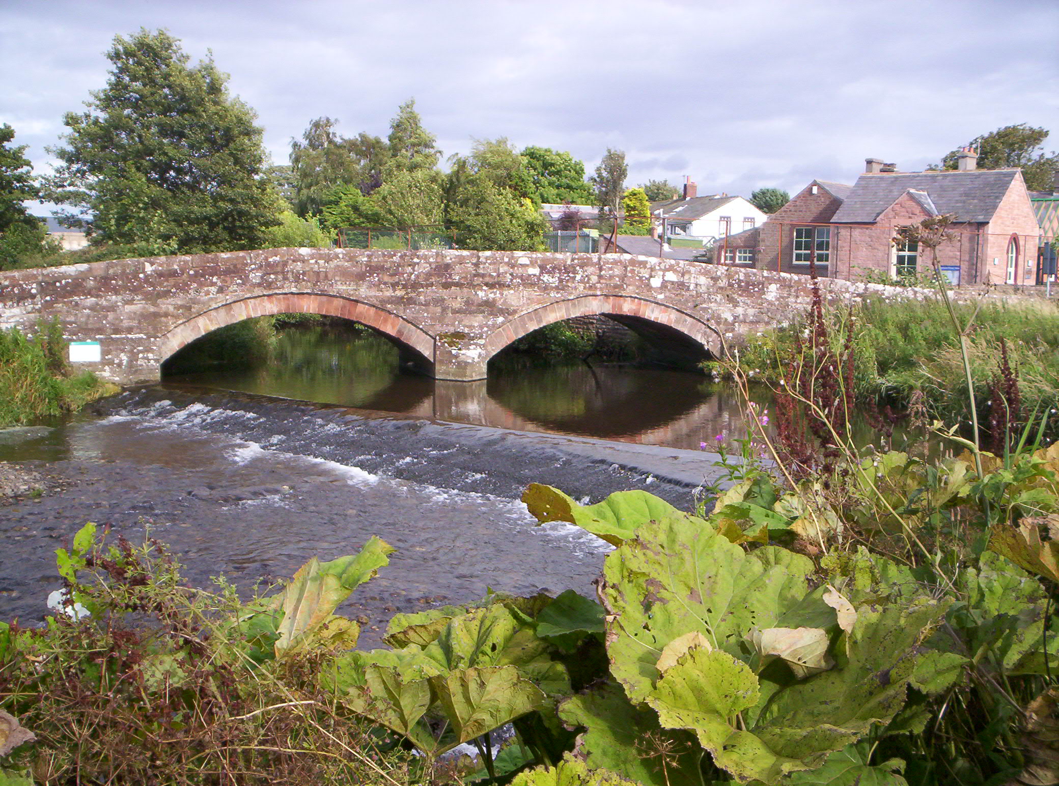
The surrounding area offers numerous opportunities for outdoor activities, attracting nature enthusiasts and hikers from all over. Baggrow is within close proximity to several popular walking trails, including the famous Lake District National Park, which is renowned for its stunning landscapes, lakes, and mountains.

Overall, Baggrow is a charming and peaceful village that offers a serene escape from the hustle and bustle of city life. Its natural beauty, strong community spirit, and access to outdoor activities make it an appealing destination for those seeking a quiet and picturesque lifestyle.

If you have any feedback on the listing, please let us know in the comments section below.
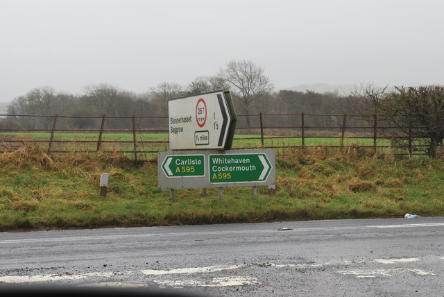
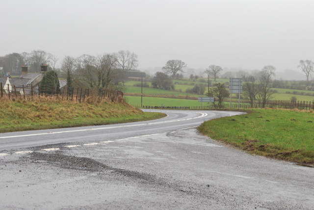
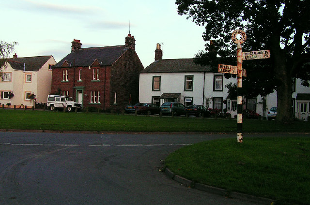
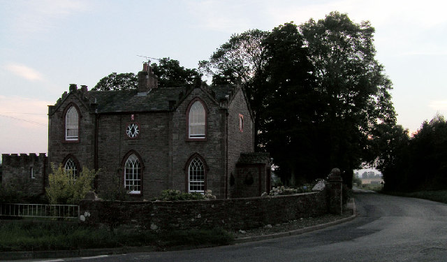
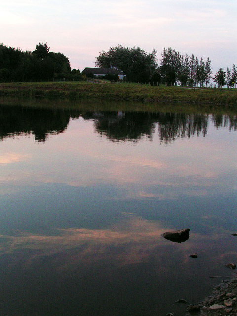
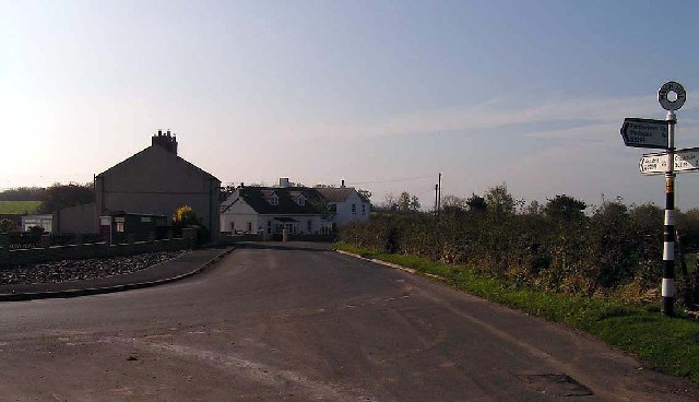
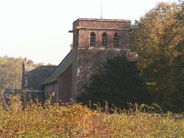
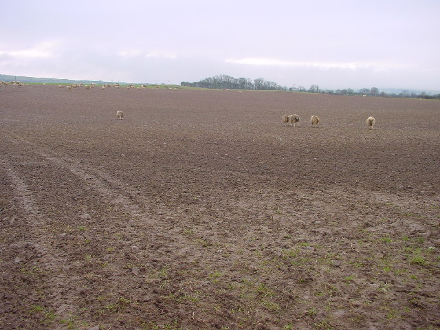
Baggrow Images

Images are sourced within 2km of 54.764855/-3.278313 or Grid Reference NY1741. Thanks to Geograph Open Source API. All images are credited.

Gate across footpath heading northeast from Fitz
Benchmark on footpath stile post on south side of road SE of Fitz Ordnance Survey pivot benchmark levelled at 61.470m above Newlyn Datum verified 1971
Benchmark on footpath stile post on south side of road SE of Fitz
Ordnance Survey pivot benchmark levelled at 61.470m above Newlyn Datum verified 1971
Squeeze stile for footpath to Bothel from minor road southeast of Fitz There is an Ordnance Survey benchmark <a href="https://www.geograph.org.uk/photo/7654165">NY1640 : Benchmark on footpath stile post on south side of road SE of Fitz</a> on top of the left hand stone post of the stile
Squeeze stile for footpath to Bothel from minor road southeast of Fitz
There is an Ordnance Survey benchmark NY1640 : Benchmark on footpath stile post on south side of road SE of Fitz on top of the left hand stone post of the stile
Footpath to Bothel beside field hedge on misty day
Farm buildings at Fitz
Farmhouse at Fitz
Farmhouse at Fitz
Sign Posts at Low Woodnook A595 Junction of the A595 with the Blennerhasset turnoff (un named).
Sign Posts at Low Woodnook A595
Junction of the A595 with the Blennerhasset turnoff (un named).
A595 junction at Low Woodnock Looking in the direction of the West Coast (Whitehaven, Cockermouth etc).
A595 junction at Low Woodnock
Looking in the direction of the West Coast (Whitehaven, Cockermouth etc).
Open Farmland, Blennerhasset A view across open farmland to Gilgooden Bothie (the copse in the middle distance). The microwave relay station at Moota Hill is visible on the horizon.
Open Farmland, Blennerhasset
A view across open farmland to Gilgooden Bothie (the copse in the middle distance). The microwave relay station at Moota Hill is visible on the horizon.
Blennerhasset, Village Green Blennerhasset translates roughly as 'hay field on the summit' with the first half of the name having a Celtic origin and the latter part Scandinavian.
Blennerhasset, Village Green
Blennerhasset translates roughly as 'hay field on the summit' with the first half of the name having a Celtic origin and the latter part Scandinavian.
Cockgate, near Blennerhasset A rather imposing house at the junction of two relatively minor roads between Blennerhasset and Aspatria.
Cockgate, near Blennerhasset
A rather imposing house at the junction of two relatively minor roads between Blennerhasset and Aspatria.
Brayton Park, Aspatria Brayton Park is a golf course. The club house and restaurant is visible in the background. It also features a lake which hosts regular fishing competitions.
Brayton Park, Aspatria
Brayton Park is a golf course. The club house and restaurant is visible in the background. It also features a lake which hosts regular fishing competitions.
Harriston, Aspatria Harriston was a colliery village serving the Brayton Domain mine. It was named after Josef Harris, the mine owner, who built reading rooms for the miners.
Harriston, Aspatria
Harriston was a colliery village serving the Brayton Domain mine. It was named after Josef Harris, the mine owner, who built reading rooms for the miners.
Watchhill, nr Aspatria The B5299 turns sharply right at Watchhill between Aspatria on the A596 and Mealsgate on the A595
Watchhill, nr Aspatria
The B5299 turns sharply right at Watchhill between Aspatria on the A596 and Mealsgate on the A595
Allhallows Church, Fletchertown Tucked away amongst trees and some distance from the village itself, Allhallows at Fletchertown exhibits a wide variety of flowers and shrubs in its churchyard.
Allhallows Church, Fletchertown
Tucked away amongst trees and some distance from the village itself, Allhallows at Fletchertown exhibits a wide variety of flowers and shrubs in its churchyard.
Heathfield Farm Taken across crop fields from the minor road linking Baggrow to the A596(T).
Heathfield Farm
Taken across crop fields from the minor road linking Baggrow to the A596(T).
The Gatehouse at the entrance to Brayton Park, east of Aspatria
Texels at Mechi Texel is the breed of sheep, Mechi is the nearby farm.
Texels at Mechi
Texel is the breed of sheep, Mechi is the nearby farm.
Show me another place!

Baggrow is located at Grid Ref: NY1741 (Lat: 54.764855, Lng: -3.278313)

Administrative County: Cumbria

District: Allerdale

Police Authority: Cumbria

What 3 Words

///starred.slick.ambitions. Near Aspatria, Cumbria

Related Wikis

Baggrow railway station

Baggrow railway station was in the former county of Cumberland, now Cumbria, England. It was a stop on the Bolton Loop (sometimes referred to as the "Mealsgate...

Brayton Hall

Brayton Hall is a ruined former mansion in Cumbria, England. Once the ancestral seat of the Lawson family, it stood in a large park, with views of the...

Allhallows, Cumbria

Allhallows is a civil parish in Cumbria, England. It has a population of 548 (2001 census), reducing slightly to 546 at the 2011 Census. The parish includes...

Watchhill

Watchhill is a hamlet in the parish of Allhallows, Cumbria, England. The parish had 538 recorded residents in the 2001 census. Watchhill is sited near...

Harbybrow

Harbybrow is a small settlement in the parish of Allhallows, Cumbria, England. Consisting of two inhabited dwellings - the old manor house and nearby mill...

Brayton Park

Brayton Park is a hamlet in Cumbria, England. It contains a small lake, notable for its fishing. == References ==

Baggrow

Baggrow is a small village situated north of the Lake District National Park in the English county of Cumbria, historically within Cumberland. In many...

Harriston, Cumbria

Harriston is a small hamlet in Cumbria, England, consisting of approximately 100 houses. == Construction == When, in 1868, the trustees of the infant Joseph...

Nearby Amenities

Located within 500m of 54.764855,-3.278313
Blennerhasset
Place: village
Source: npe
Lat/Long: 54.762456/-3.2792348
Baggrow
Is In: Cumbria, England, UK
Place: hamlet
Source: npe
Wikidata: Q4841598
Wikipedia: en:Baggrow
Lat/Long: 54.7671528/-3.2781674
Baggrow
Abandoned Railway: station
Railway: site
Source: npe
Wikidata: Q4841595
Lat/Long: 54.7662558/-3.2748103
Baggrow House
Naptan AtcoCode: 090002021350
Naptan Bearing: N
Naptan BusStopType: CUS
Naptan CommonName: Baggrow House
Naptan Indicator: o/s
Naptan Landmark: Baggrow Farm
Naptan NaptanCode: cumdmtjt
Naptan Street: No name
Naptan Verified: no
Source: naptan_import
Lat/Long: 54.767228/-3.2786185
Swiss Cottage
Naptan AtcoCode: 090002023252
Naptan Bearing: S
Naptan BusStopType: CUS
Naptan CommonName: Swiss Cottage
Naptan Indicator: opp
Naptan Landmark: Baggrow Farm
Naptan NaptanCode: cumdmtmd
Naptan Street: No name
Naptan Verified: no
Source: naptan_import
Lat/Long: 54.7672835/-3.2784648
Bus Stop
Village Green (N bound)
Bench: no
Covered: yes
Naptan AtcoCode: 090002072301
Naptan Bearing: N
Naptan CommonName: Village Green (N bound)
Naptan Indicator: o/s
Naptan Landmark: Glenlea by village green
Naptan NaptanCode: cumadajp
Naptan Street: No name
Naptan Verified: no
Shelter: yes
Source: naptan_import
Lat/Long: 54.7622071/-3.2783204
Village Green (S bound)
Naptan AtcoCode: 090002073261
Naptan Bearing: S
Naptan BusStopType: CUS
Naptan CommonName: Village Green (S bound)
Naptan Indicator: opp
Naptan Landmark: Glenlea by village green
Naptan NaptanCode: cumadajw
Naptan Street: No name
Naptan Verified: no
Source: naptan_import
Lat/Long: 54.762228/-3.2780413
Post Box
Ref: CA7 230
Lat/Long: 54.7621742/-3.2783215
Bench
Lat/Long: 54.7618603/-3.2781487
Bench
Lat/Long: 54.7617606/-3.2784312
Historic: monument
Lat/Long: 54.7618239/-3.2784873
Post Box
Ref: CA7 240
Lat/Long: 54.7656134/-3.2778145
La'al Yam
Addr City: Baggrow
Addr Housename: La'al Yam
Addr Postcode: CA7 3QG
Currency XBT: yes
Email: enquiry@laalyam.co.uk
Internet Access: yes
Operator: Chris
Payment Lightning: yes
Payment Lightning Contactless: no
Payment Onchain: yes
Phone: +44 1228 734099
Survey Date: 2023-04-26
Tourism: chalet
Website: https://www.laalyam.co.uk/
Lat/Long: 54.7658738/-3.275827
Power: pole
Lat/Long: 54.7610706/-3.2816671
Power: pole
Lat/Long: 54.7616347/-3.2810615
Power: pole
Lat/Long: 54.762064/-3.27978
Power: pole
Lat/Long: 54.762454/-3.2788685
Power: pole
Lat/Long: 54.7610265/-3.2810863
Power: pole
Lat/Long: 54.7687197/-3.2784804
Power: pole
Lat/Long: 54.7677604/-3.2781743
Power: pole
Lat/Long: 54.7671718/-3.277497
Power: pole
Lat/Long: 54.7666671/-3.2763377
Power: pole
Lat/Long: 54.7673371/-3.2749332
Power: pole
Lat/Long: 54.7676152/-3.2742516
Power: pole
Lat/Long: 54.7646057/-3.2771192
Power: pole
Lat/Long: 54.7631879/-3.2761402
Power: pole
Lat/Long: 54.7660597/-3.2719776
Power: pole
Lat/Long: 54.7662044/-3.2727352
Power: pole
Lat/Long: 54.7665939/-3.2730142
Power: pole
Lat/Long: 54.7670046/-3.2733366
Power: pole
Lat/Long: 54.7674874/-3.2736209
The data included in this document is from www.openstreetmap.org. The data is made available under ODbL.

Have you been to Baggrow?

Leave your review of Baggrow below (or comments, questions and feedback).