The Wilderness
Wood, Forest in Northumberland
England
The Wilderness
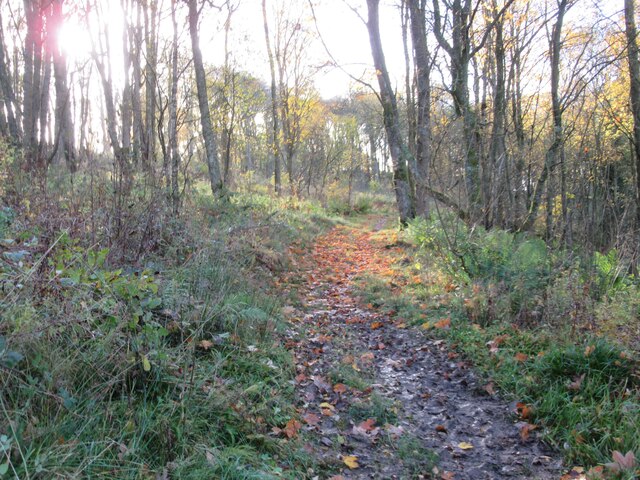
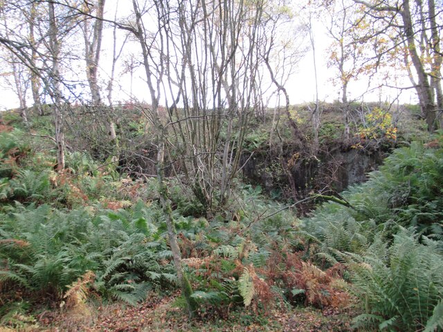
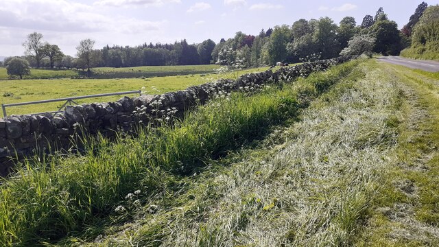
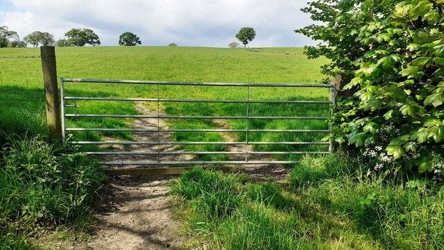
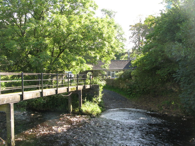
The Wilderness, located in Northumberland, is a captivating woodland and forest area that spans over a vast expanse of approximately 10,000 acres. It is renowned for its unspoiled and untouched natural beauty, making it a haven for nature enthusiasts and those seeking tranquility. The forest is predominantly composed of native tree species, including oak, beech, and pine, which create a dense and lush canopy overhead.
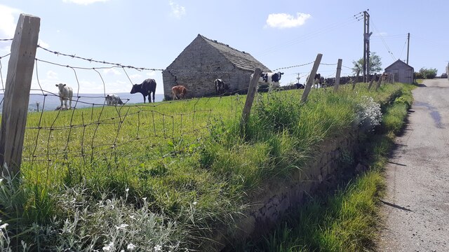
The Wilderness offers a diverse range of habitats, from open meadows to dense woodland, providing a home to a wide variety of flora and fauna. Rare and protected species such as red squirrels, roe deer, and numerous bird species can be observed here, making it a popular destination for wildlife enthusiasts and birdwatchers.
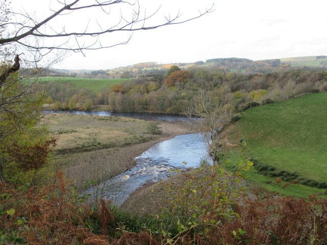
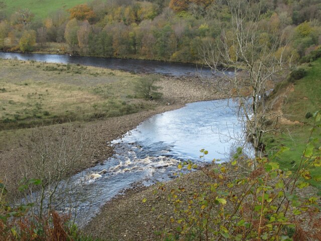
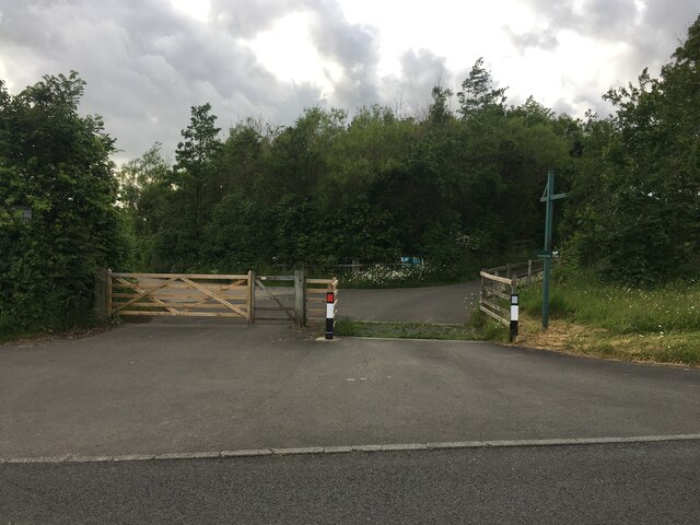
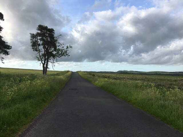
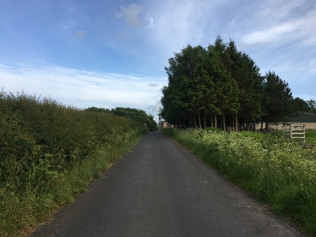
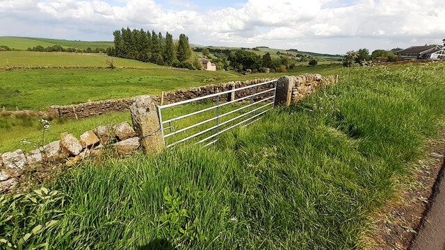
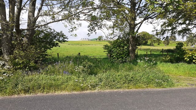
Visitors can explore the forest via a network of well-maintained walking trails, allowing them to immerse themselves in the serene and peaceful ambiance of the woodland. The trails vary in difficulty and length, catering to both casual walkers and more experienced hikers. Along the way, there are numerous viewpoints offering breathtaking vistas of the surrounding landscape, including rolling hills, sparkling rivers, and distant moorlands.
For those seeking a more adventurous experience, The Wilderness also offers opportunities for camping and bushcraft activities. Visitors can pitch their tents in designated camping areas and enjoy a night under the starry sky, surrounded by the sounds of nature.
Overall, The Wilderness in Northumberland is a captivating woodland and forest that offers a sanctuary for both wildlife and humans alike. Its untouched beauty and diverse range of habitats make it a must-visit destination for nature lovers and those seeking a peaceful retreat.
If you have any feedback on the listing, please let us know in the comments section below.
The Wilderness Images
Images are sourced within 2km of 54.971436/-2.4970515 or Grid Reference NY6864. Thanks to Geograph Open Source API. All images are credited.


The Wilderness is located at Grid Ref: NY6864 (Lat: 54.971436, Lng: -2.4970515)
Unitary Authority: Northumberland
Police Authority: Northumbria
What 3 Words
///gave.petrified.radiating. Near Greenhead, Northumberland
Nearby Locations
Related Wikis

Blenkinsop Hall
Blenkinsop Hall (grid reference NY68186412) is a privately owned castellated 19th-century country house situated on the banks of the Tipalt Burn near Greenhead...

Blenkinsopp Castle
Blenkinsopp Castle (spelled Blenkinsop in many records) is a fire-damaged, partly demolished 19th-century country mansion, incorporating the ruinous remains...

Burnfoot River Shingle and Wydon Nabb
Burnfoot River Shingle and Wydon Nabb is the name given to a Site of Special Scientific Interest (SSSI) in Northumberland, North East England. Burnfoot...
Tipalt Burn
Tipalt Burn is a burn which lies to the east of Greenhead, Northumberland. The burn passes several historical sites such as Thirlwall Castle and discharges...

Greenhead, Northumberland
Greenhead is a village in Northumberland, England. The village is on the Military Road (B6318), about 17 miles (27 km) from Chollerford, 3 miles (5 km...

Haltwhistle War Memorial Hospital
Haltwhistle War Memorial Hospital is a health facility at Greencroft Park, Haltwhistle, Northumberland, England. It is managed by Northumbria Healthcare...
Alloa Lea Quarry Cave
Alloa Lea Quarry Cave is a short cave in the Five Yard Limestone of the Alston Block in Northumberland, England. It is situated in an old quarry on the...

Bellister Castle
Bellister Castle is a National Trust owned castellated 19th-century mansion house attached to the ruinous remains of a 14th-century tower house, near...
Nearby Amenities
Located within 500m of 54.971436,-2.4970515Have you been to The Wilderness?
Leave your review of The Wilderness below (or comments, questions and feedback).