Pains Dale
Valley in Northumberland
England
Pains Dale
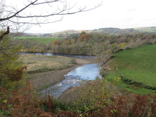
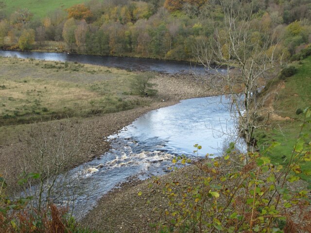
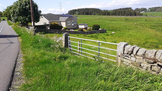
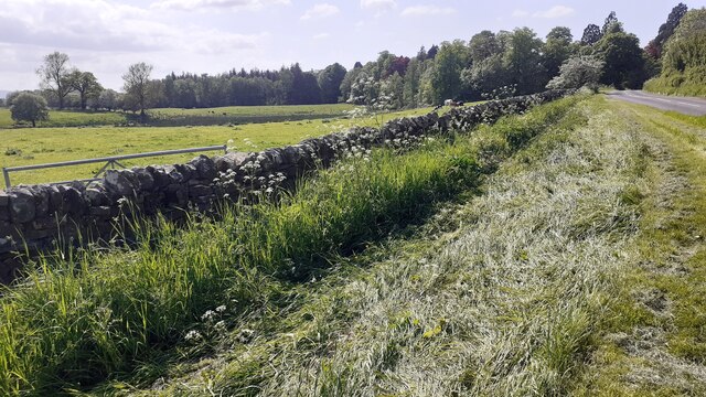
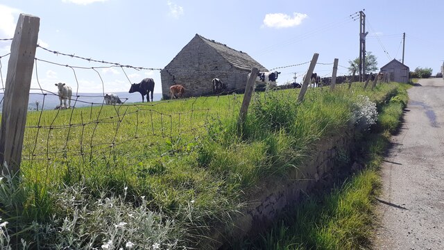
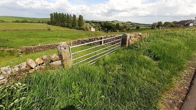
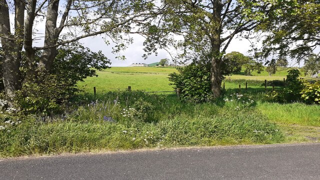
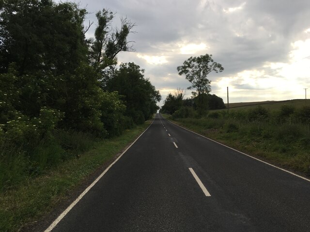
Pains Dale is a picturesque valley located in the county of Northumberland, England. Situated in the northern part of the country, it is known for its stunning natural beauty and tranquil atmosphere. The valley is surrounded by rolling hills and dense woodlands, making it a popular destination for nature enthusiasts and hikers.
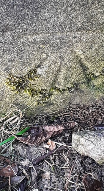
Pains Dale is home to a diverse range of flora and fauna, including rare plant species and various woodland animals. The valley's unique ecosystem is carefully protected and preserved, making it an important site for conservation efforts in the region.
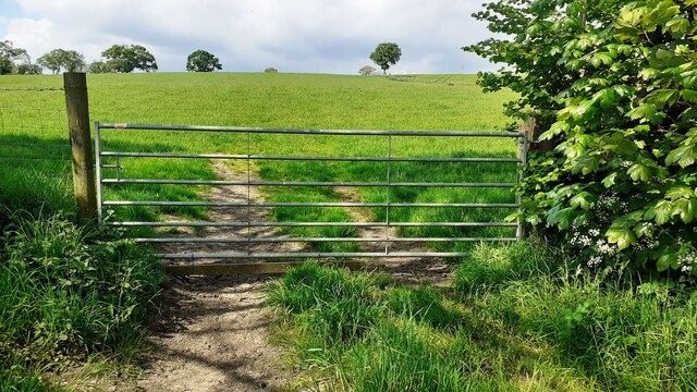
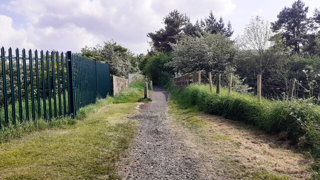
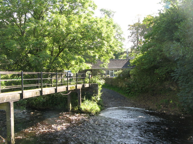
The valley is crisscrossed by a network of walking trails, offering visitors the opportunity to explore its scenic surroundings. These trails lead to breathtaking viewpoints that overlook the valley, providing visitors with stunning panoramic views of the lush greenery and the meandering river that runs through it.
In addition to its natural splendor, Pains Dale also boasts a rich history. Archaeological remains suggest that the area has been inhabited since ancient times, with evidence of human settlements dating back thousands of years.
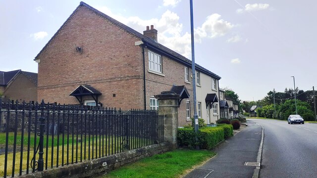
Visitors to Pains Dale can immerse themselves in the area's history by visiting nearby historical sites, such as medieval castles and ancient ruins. These landmarks offer a glimpse into the past and provide a deeper understanding of the valley's cultural heritage.
Overall, Pains Dale in Northumberland is a hidden gem that offers a perfect blend of natural beauty and historical significance. It is a must-visit destination for those seeking tranquility and a connection with nature.
If you have any feedback on the listing, please let us know in the comments section below.
Pains Dale Images
Images are sourced within 2km of 54.973568/-2.4920007 or Grid Reference NY6864. Thanks to Geograph Open Source API. All images are credited.

Pains Dale is located at Grid Ref: NY6864 (Lat: 54.973568, Lng: -2.4920007)
Unitary Authority: Northumberland
Police Authority: Northumbria
What 3 Words
///situation.cinemas.leave. Near Greenhead, Northumberland
Nearby Locations
Related Wikis

Blenkinsop Hall
Blenkinsop Hall (grid reference NY68186412) is a privately owned castellated 19th-century country house situated on the banks of the Tipalt Burn near Greenhead...
Tipalt Burn
Tipalt Burn is a burn which lies to the east of Greenhead, Northumberland. The burn passes several historical sites such as Thirlwall Castle and discharges...

Haltwhistle War Memorial Hospital
Haltwhistle War Memorial Hospital is a health facility at Greencroft Park, Haltwhistle, Northumberland, England. It is managed by Northumbria Healthcare...

Burnfoot River Shingle and Wydon Nabb
Burnfoot River Shingle and Wydon Nabb is the name given to a Site of Special Scientific Interest (SSSI) in Northumberland, North East England. Burnfoot...
Alloa Lea Quarry Cave
Alloa Lea Quarry Cave is a short cave in the Five Yard Limestone of the Alston Block in Northumberland, England. It is situated in an old quarry on the...

Haltwhistle railway station
Haltwhistle is a railway station on the Tyne Valley Line, which runs between Newcastle and Carlisle via Hexham. The station, situated 22 miles 66 chains...

Bellister Castle
Bellister Castle is a National Trust owned castellated 19th-century mansion house attached to the ruinous remains of a 14th-century tower house, near...

Blenkinsopp Castle
Blenkinsopp Castle (spelled Blenkinsop in many records) is a fire-damaged, partly demolished 19th-century country mansion, incorporating the ruinous remains...
Nearby Amenities
Located within 500m of 54.973568,-2.4920007Have you been to Pains Dale?
Leave your review of Pains Dale below (or comments, questions and feedback).