Nanny Bell's Hill

Hill, Mountain in Northumberland

England

Nanny Bell's Hill

Walltown Quarry Disused quarry now partly filled with water. A length of Hadrian's Wall was destroyed by this quarry.
Walltown Quarry Credit: Sandy Gerrard

Nanny Bell's Hill is a prominent hill located in the county of Northumberland, England. Situated near the village of Bardon Mill, it forms part of the picturesque North Pennines Area of Outstanding Natural Beauty. The hill rises to an elevation of approximately 438 meters (1,437 feet) above sea level, making it a notable landmark in the region.

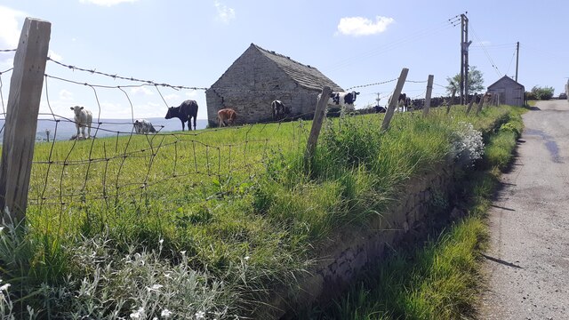
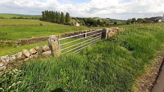
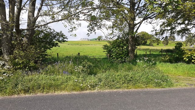
Nanny Bell's Hill offers breathtaking panoramic views of the surrounding landscapes. From its summit, one can admire the rolling hills, lush green fields, and scattered farmsteads that characterize the Northumberland countryside. On clear days, the hill provides a vantage point to see as far as the distant Cheviot Hills, the North Sea coast, and even the Scottish borders.

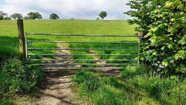
The terrain of Nanny Bell's Hill predominantly consists of open moorland, heather, and grasses. It is a popular destination for outdoor enthusiasts, including hikers and walkers, who are drawn to its natural beauty and tranquility. A network of footpaths and trails allows visitors to explore the area and enjoy the diverse flora and fauna that inhabit the hillside.

The name "Nanny Bell's Hill" is believed to have originated from a local legend. According to folklore, Nanny Bell was a wise woman who lived in the area many centuries ago, known for her healing abilities and knowledge of herbal remedies. The hill was named in her honor as a tribute to her presence and legacy.

Nanny Bell's Hill is a cherished landmark in Northumberland, offering both locals and visitors the opportunity to immerse themselves in the stunning natural surroundings and experience the rich cultural heritage of the region.

If you have any feedback on the listing, please let us know in the comments section below.

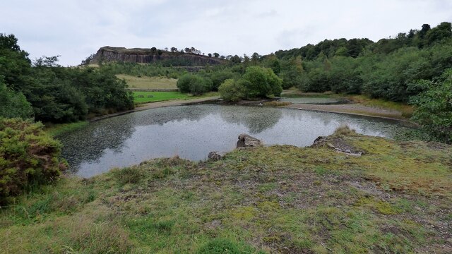
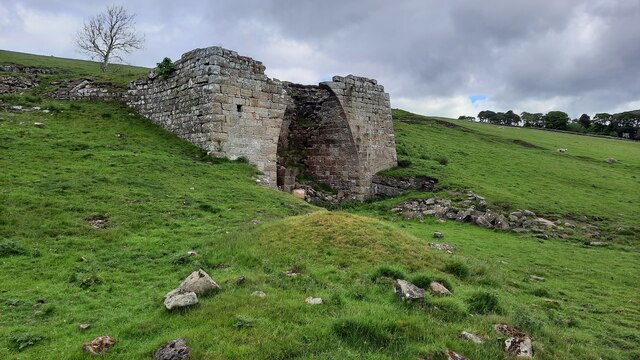
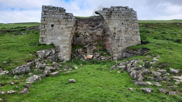
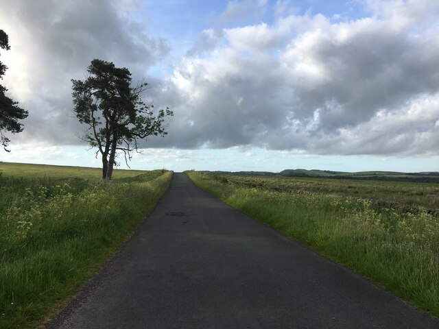
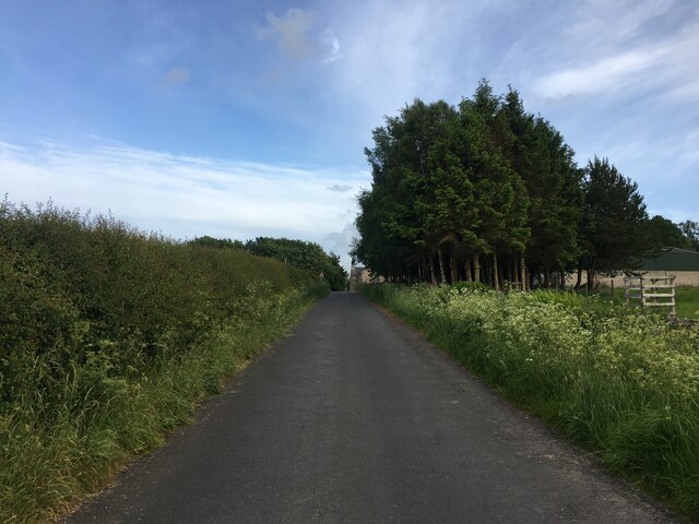
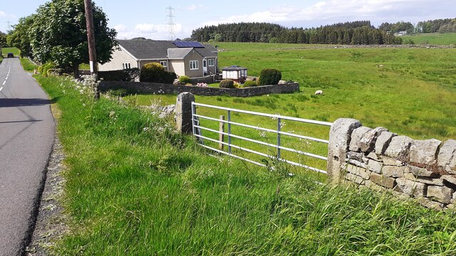
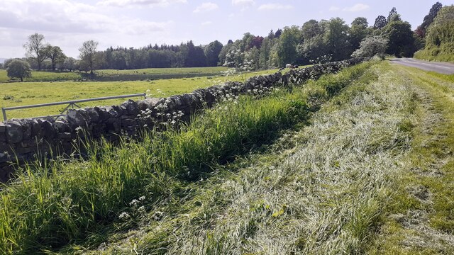
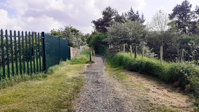
Nanny Bell's Hill Images

Images are sourced within 2km of 54.974017/-2.4964585 or Grid Reference NY6864. Thanks to Geograph Open Source API. All images are credited.

Walltown Quarry Disused quarry now partly filled with water. A length of Hadrian's Wall was destroyed by this quarry.
Walltown Quarry
Disused quarry now partly filled with water. A length of Hadrian's Wall was destroyed by this quarry.
Lime kiln at  Walltown
Lime kiln at Walltown
Minor road towards Wydoncleughside
Minor road near Wydoncleughside
Haltwhistle Fire Station (Northumberland County Council)  on south side of Park Street
Haltwhistle Fire Station (Northumberland County Council) on south side of Park Street
Gateway and house on NE side of road west of Comb Hill
Cows in field on south side of road west of Haltwhistle
Barn and cows in field opposite Fir Tree Cottage
View through field gateway on northeast side of Comb Hill Road
Benchmark on #4 Park Road Park Road according to Ordnance Survey records, but I think it may be Westlands. Ordnance Survey cut mark benchmark levelled at 127.093m above Newlyn Datum verified 1954
Benchmark on #4 Park Road
Park Road according to Ordnance Survey records, but I think it may be Westlands. Ordnance Survey cut mark benchmark levelled at 127.093m above Newlyn Datum verified 1954
#4 Park Road (Westlands?) There is an Ordnance Survey benchmark <a href="https://www.geograph.org.uk/photo/7500897">NY6963 : Benchmark on #4 Park Road</a> on the near corner, left hand face, of the house
#4 Park Road (Westlands?)
There is an Ordnance Survey benchmark NY6963 : Benchmark on #4 Park Road on the near corner, left hand face, of the house
Gateway and fields on north side of rural road west of Haltwhistle
Benchmark on pier of boundary wall of cemetery on south side of Tyne View Road Ordnance Survey cut mark benchmark levelled at 125.041m above Newlyn Datum verified 1954
Benchmark on pier of boundary wall of cemetery on south side of Tyne View Road
Ordnance Survey cut mark benchmark levelled at 125.041m above Newlyn Datum verified 1954
West end of cemetery boundary wall and Nos. 2 & 3 Hadrians Rise on south side of B6322 There is an Ordnance Survey benchmark <a href="https://www.geograph.org.uk/photo/7501049">NY6963 : Benchmark on pier of boundary wall of cemetery on south side of Tyne View Road</a> 0n the wall pier at the end of the wall
West end of cemetery boundary wall and Nos. 2 & 3 Hadrians Rise on south side of B6322
There is an Ordnance Survey benchmark NY6963 : Benchmark on pier of boundary wall of cemetery on south side of Tyne View Road 0n the wall pier at the end of the wall
Field gateway on NE side of rural road west of Haltwhistle
Bridge providing footpath over Carlisle-Newcastle railway line The bridge has identity NEC2/120
Bridge providing footpath over Carlisle-Newcastle railway line
The bridge has identity NEC2/120
Show me another place!

Nanny Bell's Hill is located at Grid Ref: NY6864 (Lat: 54.974017, Lng: -2.4964585)

Unitary Authority: Northumberland

Police Authority: Northumbria

What 3 Words

///sprayed.inversion.fumes. Near Greenhead, Northumberland

Related Wikis

Blenkinsop Hall

Blenkinsop Hall (grid reference NY68186412) is a privately owned castellated 19th-century country house situated on the banks of the Tipalt Burn near Greenhead...

Blenkinsopp Castle

Blenkinsopp Castle (spelled Blenkinsop in many records) is a fire-damaged, partly demolished 19th-century country mansion, incorporating the ruinous remains...

Alloa Lea Quarry Cave

Alloa Lea Quarry Cave is a short cave in the Five Yard Limestone of the Alston Block in Northumberland, England. It is situated in an old quarry on the...

Greenhead, Northumberland

Greenhead is a village in Northumberland, England. The village is on the Military Road (B6318), about 17 miles (27 km) from Chollerford, 3 miles (5 km...

Nearby Amenities

Located within 500m of 54.974017,-2.4964585
Design: three-level
Power: tower
Lat/Long: 54.9783885/-2.4952375
Power: pole
Lat/Long: 54.9731934/-2.5018095
Power: pole
Lat/Long: 54.9728985/-2.5023884
Power: pole
Lat/Long: 54.9724921/-2.5033593
Power: pole
Lat/Long: 54.9756895/-2.4978527
Power: pole
Lat/Long: 54.9750245/-2.4983329
Power: pole
Lat/Long: 54.9743448/-2.4988894
Power: pole
Lat/Long: 54.973505/-2.5001648
Power: pole
Lat/Long: 54.9737206/-2.4990276
The data included in this document is from www.openstreetmap.org. The data is made available under ODbL.

Have you been to Nanny Bell's Hill?

Leave your review of Nanny Bell's Hill below (or comments, questions and feedback).