Abbots-side Hill

Hill, Mountain in Gloucestershire

England

Abbots-side Hill

Footpath towards Heath End The footpath stretches from the viewpoint towards the housing in the background. Although signposted, the path is hard to discern on the ground.
Footpath towards Heath End Credit: Brian Robert Marshall

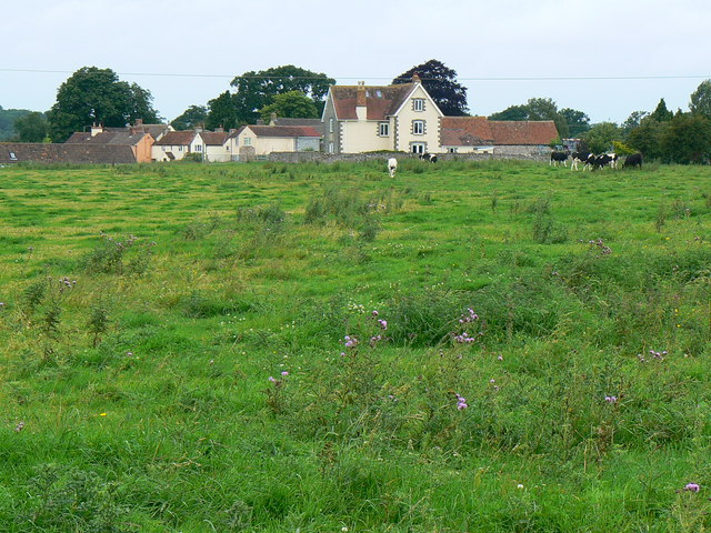
Abbots-side Hill is a prominent natural feature located in Gloucestershire, England. This hill, also known as Abbotside Common Hill, is part of the Cotswold Hills range and stands at an elevation of approximately 301 meters (989 feet). It is situated near the village of Cold Aston, just a few miles north of Bourton-on-the-Water.

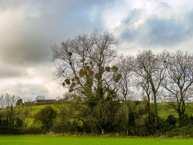
The hill is characterized by its gentle slopes and lush green meadows, which are often grazed by livestock. It offers breathtaking panoramic views of the surrounding countryside, including the rolling hills of the Cotswolds and the picturesque villages that dot the landscape.

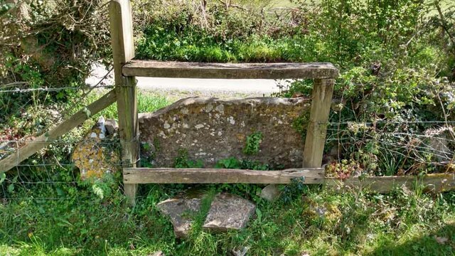
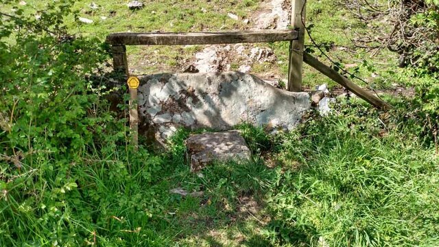
Abbots-side Hill is a popular destination for outdoor enthusiasts and nature lovers. It is crisscrossed by a network of walking trails and footpaths, allowing visitors to explore its natural beauty and enjoy the tranquility of the area. The hill is also home to a diverse range of flora and fauna, including various species of wildflowers, birds, and small mammals.

Historically, Abbots-side Hill was used for sheep farming and played a role in the local agricultural industry. Today, it remains an important part of the rural landscape and is cherished for its scenic beauty and recreational opportunities.

Overall, Abbots-side Hill in Gloucestershire offers visitors a chance to immerse themselves in the natural splendor of the Cotswold Hills, with its panoramic views, gentle slopes, and abundant wildlife.

If you have any feedback on the listing, please let us know in the comments section below.

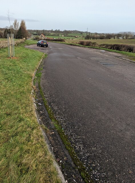
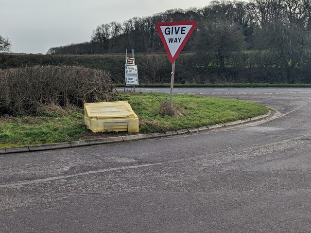
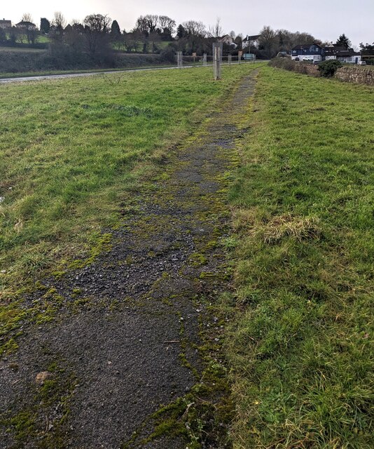
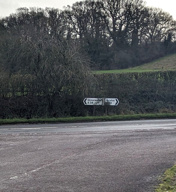
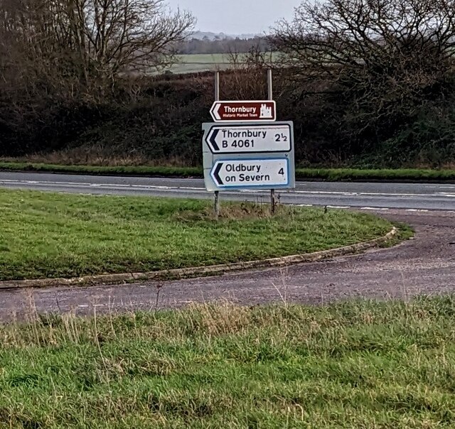
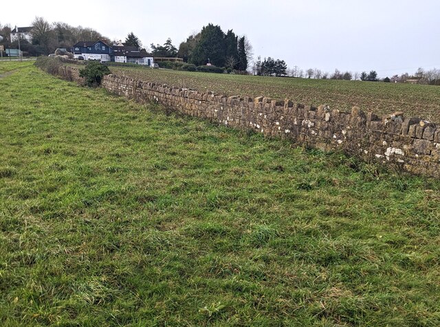
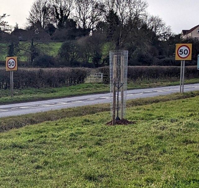
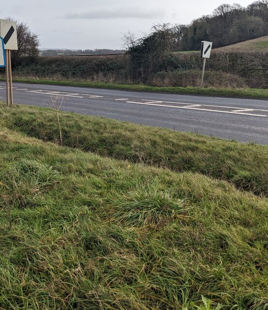
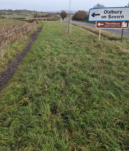
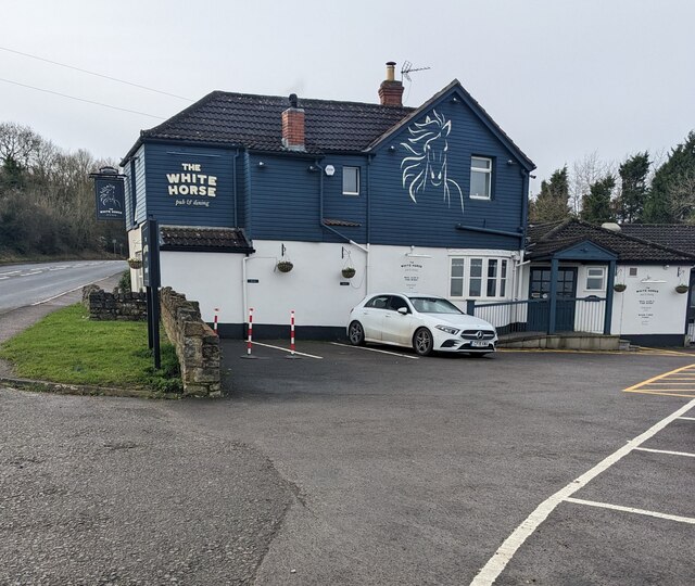
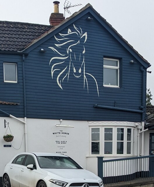
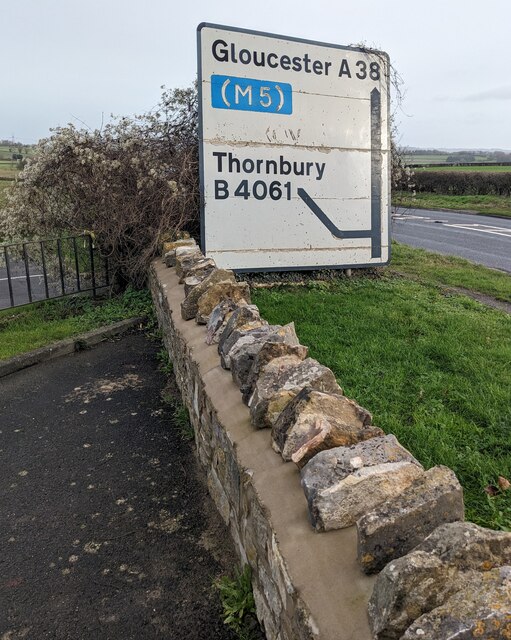
Abbots-side Hill Images

Images are sourced within 2km of 51.613089/-2.4586575 or Grid Reference ST6890. Thanks to Geograph Open Source API. All images are credited.

Footpath towards Heath End The footpath stretches from the viewpoint towards the housing in the background. Although signposted, the path is hard to discern on the ground.
Footpath towards Heath End
The footpath stretches from the viewpoint towards the housing in the background. Although signposted, the path is hard to discern on the ground.
A mistletoe infestation A phenomenon I had not seen before this journey along the M5, where a seemingly localised colony of mistletoe made itself known on the trees of Gloucestershire and Worcestershire. This tree is located near Whitfield, Thornbury.
A mistletoe infestation
A phenomenon I had not seen before this journey along the M5, where a seemingly localised colony of mistletoe made itself known on the trees of Gloucestershire and Worcestershire. This tree is located near Whitfield, Thornbury.
Stone Stile, Cromhall On Gloucestershire footpath OCR/7 looking towards Spring Lane. The view from the road is <a href="https://www.geograph.org.uk/photo/7220053">ST6890 : Stone Stile, Cromhall</a>.
Stone Stile, Cromhall
On Gloucestershire footpath OCR/7 looking towards Spring Lane. The view from the road is ST6890 : Stone Stile, Cromhall.
Stone Stile, Cromhall On Gloucestershire footpath OCR/7 looking from Spring Lane. The view to the road is <a href="https://www.geograph.org.uk/photo/7220050">ST6890 : Stone Stile, Cromhall</a>.
Stone Stile, Cromhall
On Gloucestershire footpath OCR/7 looking from Spring Lane. The view to the road is ST6890 : Stone Stile, Cromhall.
Old Gloucester Road, Buckover, South Gloucestershire Looking north along the B4061 Old Gloucester Road.
Ahead for Gloucester Road and Thornbury.
Behind the camera for the A38.
Old Gloucester Road, Buckover, South Gloucestershire
Looking north along the B4061 Old Gloucester Road. Ahead for Gloucester Road and Thornbury. Behind the camera for the A38.
Give Way sign, Old Gloucester Road, Buckover Alongside the B4061 Old Gloucester Road on the approach to the A38 in South Gloucestershire.
Give Way sign, Old Gloucester Road, Buckover
Alongside the B4061 Old Gloucester Road on the approach to the A38 in South Gloucestershire.
Path through grass, Buckover, South Gloucestershire The A38 is on the left.
Path through grass, Buckover, South Gloucestershire
The A38 is on the left.
A38 directions, Buckover, South Gloucestershire Facing the B4061. Left for Gloucester, right for Bristol.
A38 directions, Buckover, South Gloucestershire
Facing the B4061. Left for Gloucester, right for Bristol.
B4061 direction and distance signs, Buckover, South Gloucestershire The signs at the A38 junction are 2½ miles from Thornbury, 4 from Oldbury on Severn.
B4061 direction and distance signs, Buckover, South Gloucestershire
The signs at the A38 junction are 2½ miles from Thornbury, 4 from Oldbury on Severn.
Long stone wall, Buckover, South Gloucestershire Set back from the A38.
Long stone wall, Buckover, South Gloucestershire
Set back from the A38.
Start of the 50 zone, Buckover, South Gloucestershire The National Speed Limit on the A38 drops to 50mph.
Start of the 50 zone, Buckover, South Gloucestershire
The National Speed Limit on the A38 drops to 50mph.
End of the 50 zone, Buckover, South Gloucestershire The 50mph speed limit on the A38 increases to the National Speed Limit.
End of the 50 zone, Buckover, South Gloucestershire
The 50mph speed limit on the A38 increases to the National Speed Limit.
Directions alongside the A38, Buckover, South Gloucestershire Turn left onto the B4061 ahead for Oldbury on Severn and Thornbury (Historic Market Town).
Directions alongside the A38, Buckover, South Gloucestershire
Turn left onto the B4061 ahead for Oldbury on Severn and Thornbury (Historic Market Town).
The White Horse, Buckover, South Gloucestershire In January 2023 the  White Horse nameboard shows "pub & dining".
The White Horse, Buckover, South Gloucestershire
In January 2023 the White Horse nameboard shows "pub & dining".
White Horse depiction, Buckover, South Gloucestershire On the wall here. <a title="https://www.geograph.org.uk/photo/7372807" href="https://www.geograph.org.uk/photo/7372807">Link</a>
White Horse depiction, Buckover, South Gloucestershire
On the wall here. Link
The White Horse pub & dining name sign, Buckover Hanging from a wall bracket on the left here <a title="https://www.geograph.org.uk/photo/7372807" href="https://www.geograph.org.uk/photo/7372807">Link</a> in January 2023.
The White Horse pub & dining name sign, Buckover
Hanging from a wall bracket on the left here Link in January 2023.
Gloucester and Thornbury directions, Buckover  Alongside the A38. The White Horse pub & dining <a title="https://www.geograph.org.uk/photo/7372807" href="https://www.geograph.org.uk/photo/7372807">Link</a> is behind the camera.
Gloucester and Thornbury directions, Buckover
Alongside the A38. The White Horse pub & dining Link is behind the camera.
Danger -  Busy Road, Buckover, South Gloucestershire Please drive carefully as you leave the White Horse pub & dining <a title="https://www.geograph.org.uk/photo/7372807" href="https://www.geograph.org.uk/photo/7372807">Link</a> and enter the A38.
Danger - Busy Road, Buckover, South Gloucestershire
Please drive carefully as you leave the White Horse pub & dining Link and enter the A38.
Show me another place!

Abbots-side Hill is located at Grid Ref: ST6890 (Lat: 51.613089, Lng: -2.4586575)

Unitary Authority: South Gloucestershire

Police Authority: Avon and Somerset

What 3 Words

///spill.dress.bends. Near Tytherington, Gloucestershire

Related Wikis

Nearby Amenities

Located within 500m of 51.613089,-2.4586575
The Combe
Lat/Long: 51.6121862/-2.4561989
Barn Lane
Lat/Long: 51.6120896/-2.454713
Power: pole
Lat/Long: 51.6131539/-2.451417
Telephone: pole
Lat/Long: 51.6131961/-2.451531
Barrier: stile
Lat/Long: 51.6171565/-2.4600851
Abbotside
Place: locality
Source: OS Open Names
Lat/Long: 51.6135105/-2.452234
Barrier: stile
Stile: stepover
Lat/Long: 51.6150136/-2.4542162
The data included in this document is from www.openstreetmap.org. The data is made available under ODbL.

Have you been to Abbots-side Hill?

Leave your review of Abbots-side Hill below (or comments, questions and feedback).