Dyer's Brake

Wood, Forest in Gloucestershire

England

Dyer's Brake

Welcome to CROMHALL -  Please drive carefully The 50mph speed limit on the B4058 Bristol Road in South Gloucestershire here drops to 30mph.
Welcome to CROMHALL - Please drive carefully Credit: Jaggery

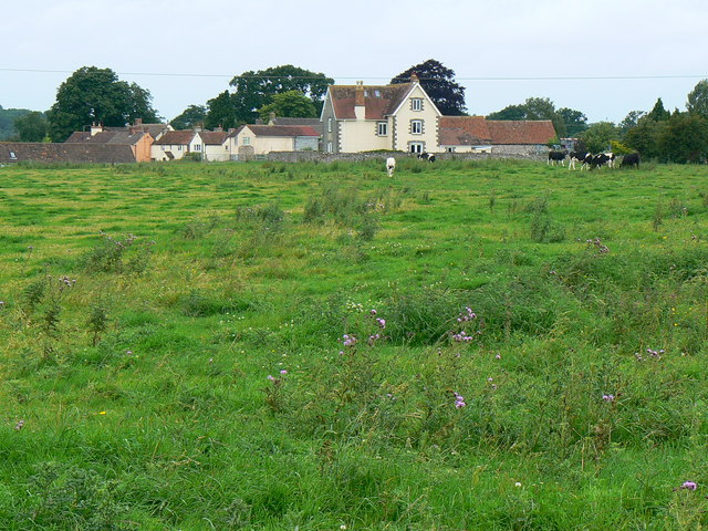
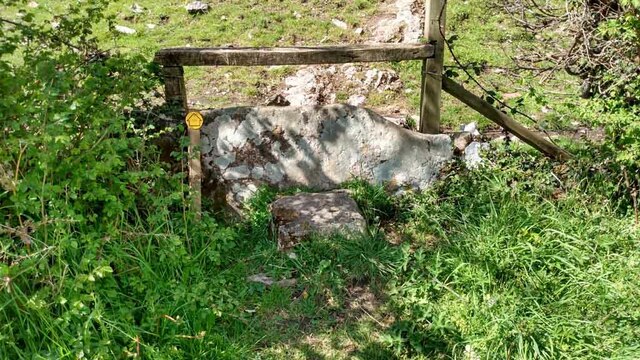
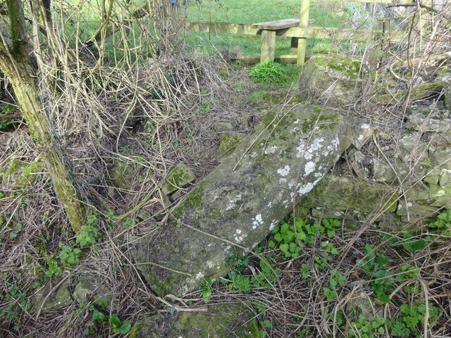
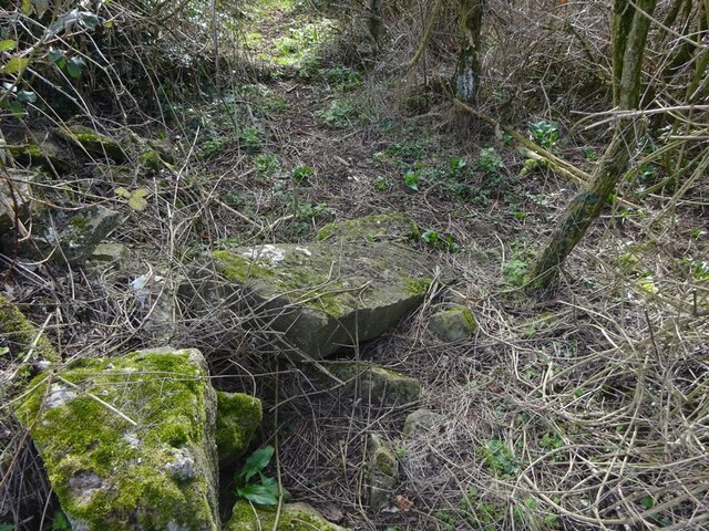
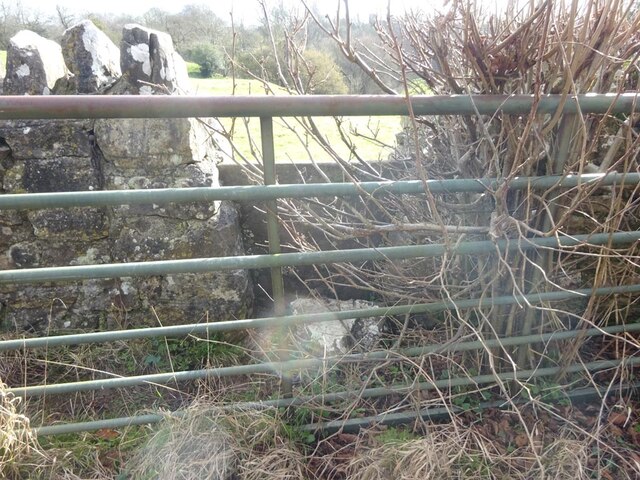
Dyer's Brake is a charming woodland area located in Gloucestershire, England. Nestled within the picturesque Forest of Dean, the brake is a designated Site of Special Scientific Interest (SSSI) due to its rich biodiversity and significant ecological value.

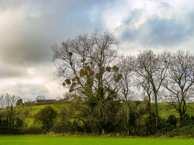
Covering an area of approximately 200 hectares, Dyer's Brake is predominantly composed of deciduous trees, including oak, beech, and ash. The woodland floor is adorned with a vibrant carpet of bluebells, wild garlic, and other native flora, adding to the area's natural beauty. The diversity of plant life provides a suitable habitat for numerous bird species, such as woodpeckers, nightingales, and tawny owls, making it a haven for birdwatchers and nature enthusiasts.

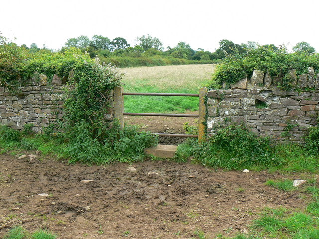
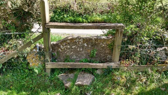
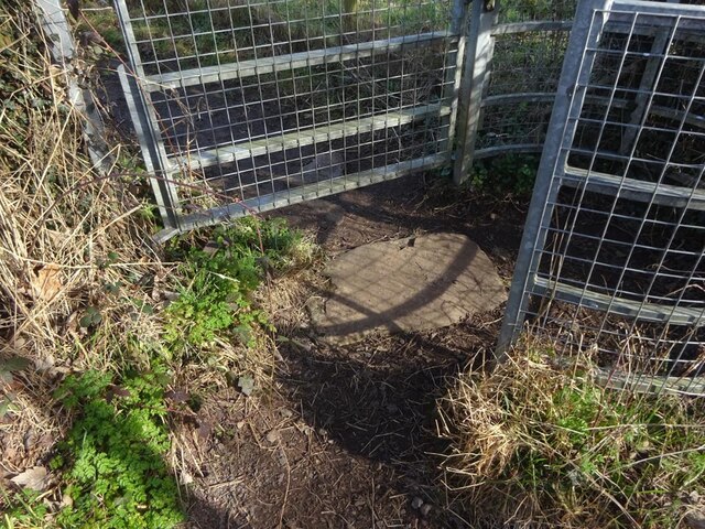
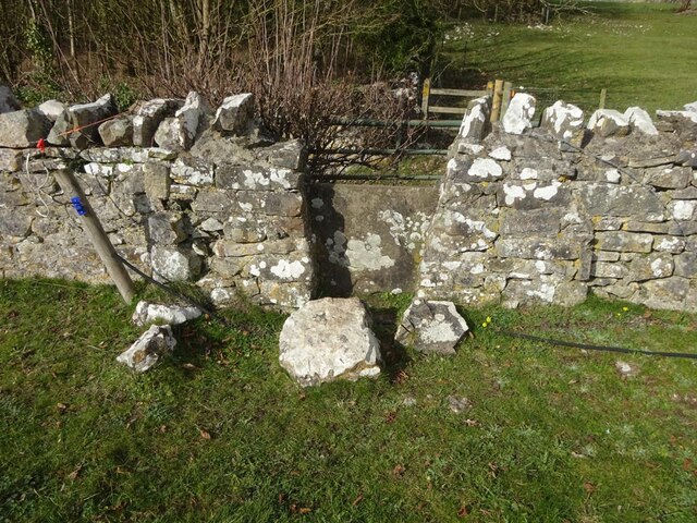
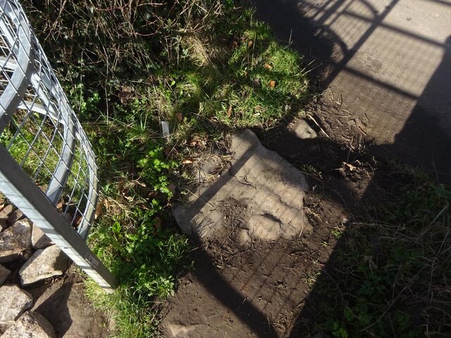
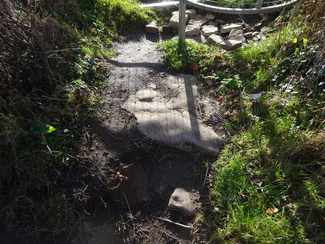
The woodland is crisscrossed by a network of footpaths and trails, allowing visitors to explore its wonders at their own pace. These paths lead through enchanting glades, alongside meandering streams, and up to viewpoints that offer breathtaking vistas of the surrounding countryside.

Dyer's Brake is not only a haven for wildlife but also holds historical significance. The area has evidence of ancient iron workings, dating back to the Roman era. Visitors can stumble upon remnants of these industrial activities while exploring the woods, adding an extra layer of intrigue to their experience.

Whether you are seeking solace in nature, eager to discover the local flora and fauna, or intrigued by the area's historical past, Dyer's Brake is a place that offers a captivating and enriching experience for all who visit.

If you have any feedback on the listing, please let us know in the comments section below.
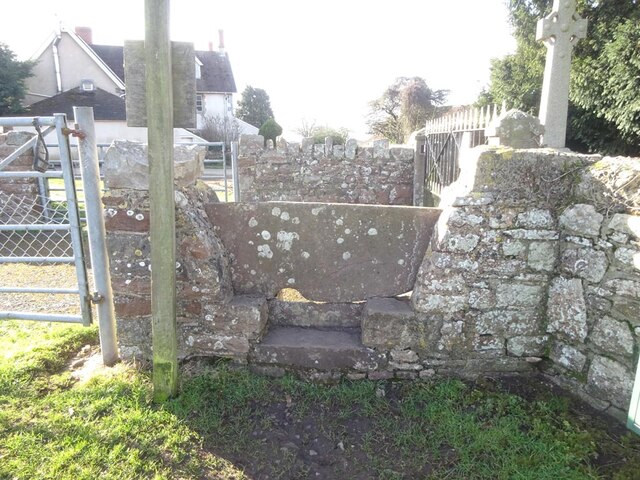
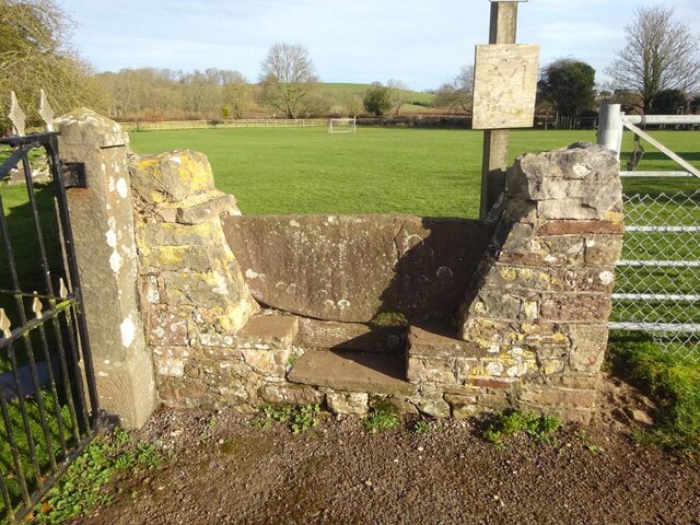
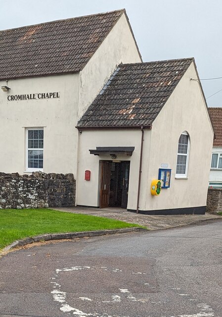
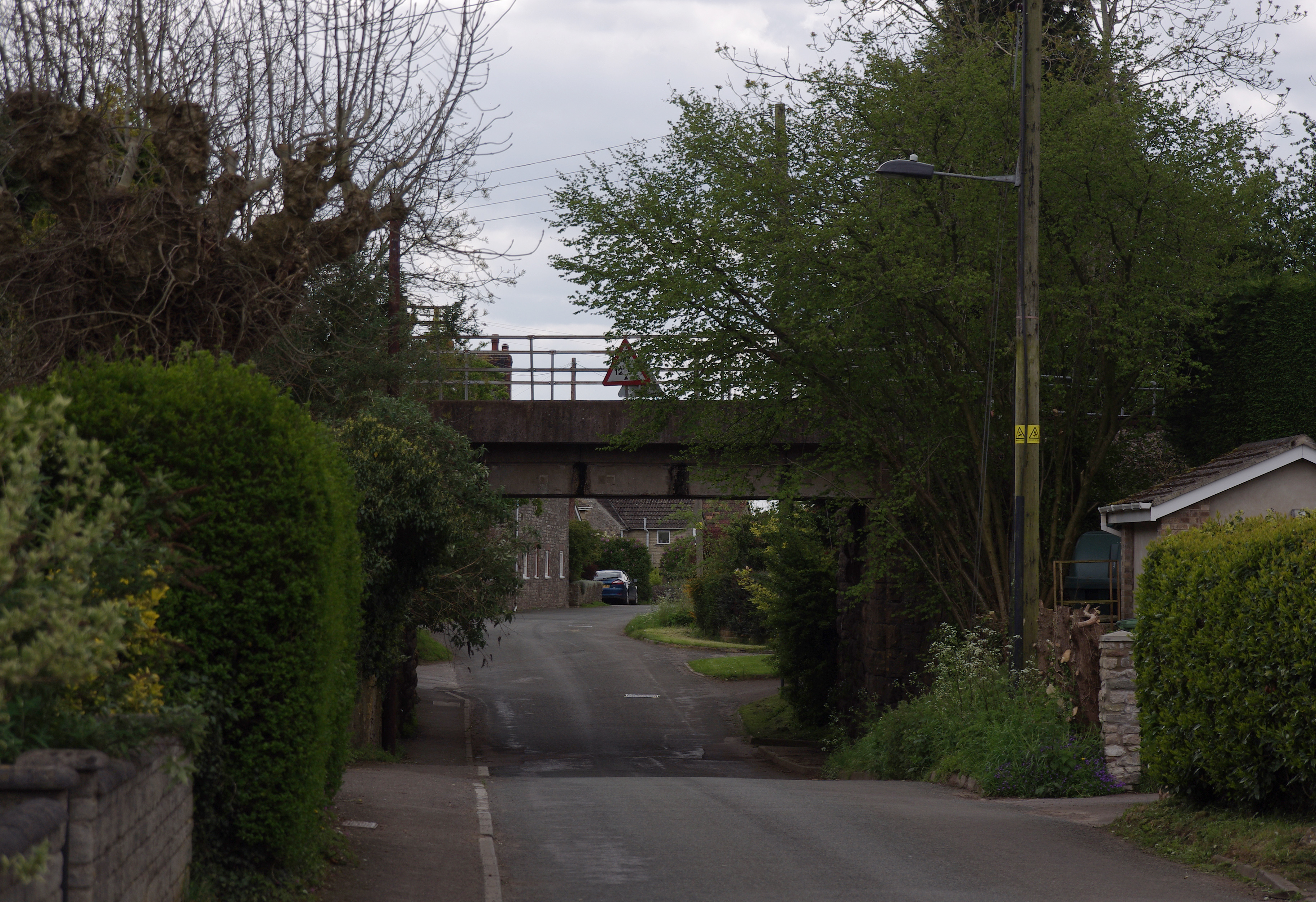
Dyer's Brake Images

Images are sourced within 2km of 51.61005/-2.4493701 or Grid Reference ST6890. Thanks to Geograph Open Source API. All images are credited.

Welcome to CROMHALL -  Please drive carefully The 50mph speed limit on the B4058 Bristol Road in South Gloucestershire here drops to 30mph.
Welcome to CROMHALL - Please drive carefully
The 50mph speed limit on the B4058 Bristol Road in South Gloucestershire here drops to 30mph.
Footpath towards Heath End The footpath stretches from the viewpoint towards the housing in the background. Although signposted, the path is hard to discern on the ground.
Footpath towards Heath End
The footpath stretches from the viewpoint towards the housing in the background. Although signposted, the path is hard to discern on the ground.
Stile and footpath near Heath End The stile isn't particularly user-friendly by comparison with other designs to be seen. The rather ill-defined footpath carries on towards the hedge in the distance.
Stile and footpath near Heath End
The stile isn't particularly user-friendly by comparison with other designs to be seen. The rather ill-defined footpath carries on towards the hedge in the distance.
A mistletoe infestation A phenomenon I had not seen before this journey along the M5, where a seemingly localised colony of mistletoe made itself known on the trees of Gloucestershire and Worcestershire. This tree is located near Whitfield, Thornbury.
A mistletoe infestation
A phenomenon I had not seen before this journey along the M5, where a seemingly localised colony of mistletoe made itself known on the trees of Gloucestershire and Worcestershire. This tree is located near Whitfield, Thornbury.
Stone Stile, Cromhall On Gloucestershire footpath OCR/7 looking towards Spring Lane. The view from the road is <a href="https://www.geograph.org.uk/photo/7220053">ST6890 : Stone Stile, Cromhall</a>.
Stone Stile, Cromhall
On Gloucestershire footpath OCR/7 looking towards Spring Lane. The view from the road is ST6890 : Stone Stile, Cromhall.
Stone Stile, Cromhall On Gloucestershire footpath OCR/7 looking from Spring Lane. The view to the road is <a href="https://www.geograph.org.uk/photo/7220050">ST6890 : Stone Stile, Cromhall</a>.
Stone Stile, Cromhall
On Gloucestershire footpath OCR/7 looking from Spring Lane. The view to the road is ST6890 : Stone Stile, Cromhall.
Stone Stiles, Cromhall On Gloucestershire footpath OCR/36 just as it exits the trees. Part of Abbots-side Court Farm. This view is looking SE out from the wood, the view back is <a href="https://www.geograph.org.uk/photo/7412321">ST6890 : Stone Stiles, Cromhall</a>.
Stone Stiles, Cromhall
On Gloucestershire footpath OCR/36 just as it exits the trees. Part of Abbots-side Court Farm. This view is looking SE out from the wood, the view back is ST6890 : Stone Stiles, Cromhall.
Stone Stiles, Cromhall On Gloucestershire footpath OCR/36 just as it exits the trees. Part of Abbots-side Court Farm. This view is looking SE into the wood, the view back is <a href="https://www.geograph.org.uk/photo/7412319">ST6890 : Stone Stiles, Cromhall</a>.
Stone Stiles, Cromhall
On Gloucestershire footpath OCR/36 just as it exits the trees. Part of Abbots-side Court Farm. This view is looking SE into the wood, the view back is ST6890 : Stone Stiles, Cromhall.
Stone Stiles, Cromhall A "Fallen Idle" on Gloucestershire footpath OCR/5 looking North into fields from Spring Lane.
Stone Stiles, Cromhall
A "Fallen Idle" on Gloucestershire footpath OCR/5 looking North into fields from Spring Lane.
Stone Stiles, Cromhall On Gloucestershire footpath OCR/4 looking from Gambril Hill. The view looking to the road is <a href="https://www.geograph.org.uk/photo/7412378">ST6890 : Stone Stiles, Cromhall</a>.
Stone Stiles, Cromhall
On Gloucestershire footpath OCR/4 looking from Gambril Hill. The view looking to the road is ST6890 : Stone Stiles, Cromhall.
Stone Stiles, Cromhall On Gloucestershire footpath OCR/4 looking to Gambril Hill. The view looking from the road is <a href="https://www.geograph.org.uk/photo/7412376">ST6890 : Stone Stiles, Cromhall</a>.
Stone Stiles, Cromhall
On Gloucestershire footpath OCR/4 looking to Gambril Hill. The view looking from the road is ST6890 : Stone Stiles, Cromhall.
Stone Stiles, Cromhall On Gloucestershire footpath OCR/7 looking to the South side of Spring Lane. The view from the road is <a href="https://www.geograph.org.uk/photo/7412393">ST6990 : Stone Stiles, Cromhall</a>.
Stone Stiles, Cromhall
On Gloucestershire footpath OCR/7 looking to the South side of Spring Lane. The view from the road is ST6990 : Stone Stiles, Cromhall.
Stone Stiles, Cromhall On Gloucestershire footpath OCR/7 looking from the South side of Spring Lane. The view towards the road is <a href="https://www.geograph.org.uk/photo/7412391">ST6990 : Stone Stiles, Cromhall</a>.
Stone Stiles, Cromhall
On Gloucestershire footpath OCR/7 looking from the South side of Spring Lane. The view towards the road is ST6990 : Stone Stiles, Cromhall.
Stone Stiles, Cromhall On Gloucestershire footpath OCR/7 near the church, looking SW. The view NE is <a href="https://www.geograph.org.uk/photo/7412409">ST6990 : Stone Stiles, Cromhall</a>.
Stone Stiles, Cromhall
On Gloucestershire footpath OCR/7 near the church, looking SW. The view NE is ST6990 : Stone Stiles, Cromhall.
Stone Stiles, Cromhall On Gloucestershire footpath OCR/7 near the church, looking NE. The view SW is <a href="https://www.geograph.org.uk/photo/7412407">ST6990 : Stone Stiles, Cromhall</a>.
Stone Stiles, Cromhall
On Gloucestershire footpath OCR/7 near the church, looking NE. The view SW is ST6990 : Stone Stiles, Cromhall.
Cromhall Chapel, South Gloucestershire Set back from the SE side of the B4058 Bristol Road in the village of Cromhall.
Cromhall Chapel, South Gloucestershire
Set back from the SE side of the B4058 Bristol Road in the village of Cromhall.
Yellow and green box on a wall of Cromhall Chapel,  South Gloucestershire A defibrillator is in the box on the right here <a title="https://www.geograph.org.uk/photo/7555312" href="https://www.geograph.org.uk/photo/7555312">Link</a>
Yellow and green box on a wall of Cromhall Chapel, South Gloucestershire
A defibrillator is in the box on the right here Link
Townwell name sign, Cromhall, South Gloucestershire Townwell is not a through road for motor traffic.
Townwell name sign, Cromhall, South Gloucestershire
Townwell is not a through road for motor traffic.
Show me another place!

Dyer's Brake is located at Grid Ref: ST6890 (Lat: 51.61005, Lng: -2.4493701)

Unitary Authority: South Gloucestershire

Police Authority: Avon and Somerset

What 3 Words

///scariest.nanny.ideals. Near Tytherington, Gloucestershire

Related Wikis

Bibstone

Bibstone is a village in Gloucestershire, England. == External links == Media related to Bibstone at Wikimedia Commons

Cromhall

Cromhall is a village in South Gloucestershire, England. It is located between Bagstone and Charfield on the B4058, and also borders Leyhill. The parish...

Brinkmarsh Quarry

Brinkmarsh Quarry (grid reference ST674913) is a 0.5 hectare geological Site of Special Scientific Interest near the town of Thornbury, South Gloucestershire...

Slickstones Quarry, Cromhall

Slickstones Quarry, Cromhall (grid reference ST704916) is a 2.7 hectare geological Site of Special Scientific Interest near the village of Cromhall, South...

Whitfield, Gloucestershire

Whitfield is a hamlet in South Gloucestershire, England. == Location == It is on the A38 near Falfield. Located just beyond the B4061 junction, the rural...

Tytherington, Gloucestershire

Tytherington is a village in the civil parish of Tytherington and Itchington, in the South Gloucestershire district, in the ceremonial county of Gloucestershire...

HM Prison Leyhill

HM Prison Leyhill is a Category D men's prison located in the parish of Tortworth in Gloucestershire, England. His Majesty's Prison Service operates Leyhill...

Buckover Road Cutting

Buckover Road Cutting (grid reference ST665906) is a 1.7 hectare geological Site of Special Scientific Interest near the town of Thornbury, South Gloucestershire...

Nearby Amenities

Located within 500m of 51.61005,-2.4493701
Barrier: kissing_gate
Lat/Long: 51.6085292/-2.4434031
Barrier: stile
Foot: yes
Lat/Long: 51.6129532/-2.4455419
Waste Basket
Waste: dog_excrement
Lat/Long: 51.6121936/-2.4453739
Barrier: stile
Foot: yes
Lat/Long: 51.6121784/-2.4453587
Barrier: stile
Foot: yes
Lat/Long: 51.613583/-2.4452033
Power: pole
Transformer: distribution
Lat/Long: 51.6108835/-2.4444254
Power: pole
Lat/Long: 51.6093581/-2.4438085
Power: pole
Source: survey
Lat/Long: 51.6105314/-2.4440974
Power: pole
Source: Bing
Lat/Long: 51.6103434/-2.4451949
Power: pole
Lat/Long: 51.6109911/-2.4460856
Note: single wooden pole
Power: pole
Lat/Long: 51.6086621/-2.4428226
Power: pole
Source: Bing
Lat/Long: 51.6068686/-2.4522895
Power: pole
Source: Bing
Lat/Long: 51.6096864/-2.4442808
Power: pole
Source: Bing
Lat/Long: 51.6114355/-2.4434128
Street Lamp
Power: pole
Telephone: pole
Lat/Long: 51.6120016/-2.444149
War memorial
Historic: memorial
Url: http://www.cromhall.com/history_warmemorial.html
Lat/Long: 51.6121507/-2.4454659
Power: pole
Source: Bing
Lat/Long: 51.6069212/-2.4508911
Note: double wooden power line poles
Power: pole
Source: survey
Lat/Long: 51.6069874/-2.4485891
Power: pole
Source: Bing
Lat/Long: 51.607108/-2.4457907
Ref: 7
Telephone: pole
Lat/Long: 51.6075002/-2.4437735
Ref: 6
Telephone: pole
Lat/Long: 51.6080309/-2.4440299
Ref: 4
Telephone: pole
Lat/Long: 51.6090713/-2.4438642
Ref: 3
Telephone: pole
Lat/Long: 51.6093075/-2.4439478
Ref: 2
Telephone: pole
Lat/Long: 51.6096433/-2.444013
Ref: 1
Telephone: pole
Lat/Long: 51.6099488/-2.4441215
Ref: DP63
Telephone: pole
Lat/Long: 51.6102938/-2.44416
Ref: 5
Telephone: pole
Lat/Long: 51.6084507/-2.4439314
Ref: 3
Telephone: pole
Lat/Long: 51.6108347/-2.4442585
Power: pole
Lat/Long: 51.611298/-2.4465229
Ref: 2
Telephone: pole
Lat/Long: 51.6113221/-2.4444037
Ref: 1
Telephone: pole
Lat/Long: 51.6118159/-2.4445662
Power: pole
Lat/Long: 51.6119097/-2.4474098
Ref: DP232
Telephone: pole
Lat/Long: 51.6119743/-2.4443724
Ref: DP62
Telephone: pole
Lat/Long: 51.6121405/-2.4434907
Barn Lane
Lat/Long: 51.6120896/-2.454713
Butcroft
Note: field called Butcroft
Lat/Long: 51.6129117/-2.4444911
Barrier: stile
Lat/Long: 51.6140895/-2.4495806
Ref: 1
Telephone: pole
Lat/Long: 51.6083009/-2.4443825
Street Lamp
Power: pole
Ref: 2
Telephone: pole
Lat/Long: 51.6101736/-2.4439883
Telephone: pole
Lat/Long: 51.6117894/-2.4446935
Telephone: pole
Lat/Long: 51.6120525/-2.444349
Ref: 1
Telephone: pole
Lat/Long: 51.6123274/-2.4436682
Ref: 2
Telephone: pole
Lat/Long: 51.6127845/-2.4441158
Ref: 3
Telephone: pole
Lat/Long: 51.6132661/-2.4445727
Fixme: incomplete
Lat/Long: 51.6137728/-2.4455579
Power: pole
Lat/Long: 51.6131539/-2.451417
Telephone: pole
Lat/Long: 51.6131961/-2.451531
Telephone: pole
Lat/Long: 51.6140296/-2.4480088
Power: pole
Lat/Long: 51.6140853/-2.4479022
Power: pole
Lat/Long: 51.6112669/-2.444624
Street Lamp
Power: pole
Ref: 1
Lat/Long: 51.6115798/-2.4444133
Entrance: main
Lat/Long: 51.612077/-2.4448341
Note: Former Quartzite Quarry; opened 1930s, closed 2009
Lat/Long: 51.6058709/-2.4507988
Give Way
Direction: forward
Lat/Long: 51.6119628/-2.4446798
Give Way
Direction: backward
Lat/Long: 51.6122218/-2.4434875
Abbotside
Place: locality
Source: OS Open Names
Lat/Long: 51.6135105/-2.452234
The data included in this document is from www.openstreetmap.org. The data is made available under ODbL.

Have you been to Dyer's Brake?

Leave your review of Dyer's Brake below (or comments, questions and feedback).