High Wood

Wood, Forest in Gloucestershire

England

High Wood

A mistletoe infestation A phenomenon I had not seen before this journey along the M5, where a seemingly localised colony of mistletoe made itself known on the trees of Gloucestershire and Worcestershire. This tree is located near Whitfield, Thornbury.
A mistletoe infestation Credit: Oliver Mills

High Wood is a small village located in the county of Gloucestershire, England. Situated within the expansive Forest of Dean, it is surrounded by lush greenery and dense woodland. The village is known for its serene and picturesque setting, offering residents and visitors alike a tranquil escape from the hustle and bustle of urban life.

High Wood is home to a close-knit community, with a population of around 500 residents. The village is characterized by its charming cottages, many of which date back to the 18th and 19th centuries, adding a sense of history and character to the area. The local church, St. Mary’s, is a prominent feature in the village and serves as a hub for community gatherings and events.

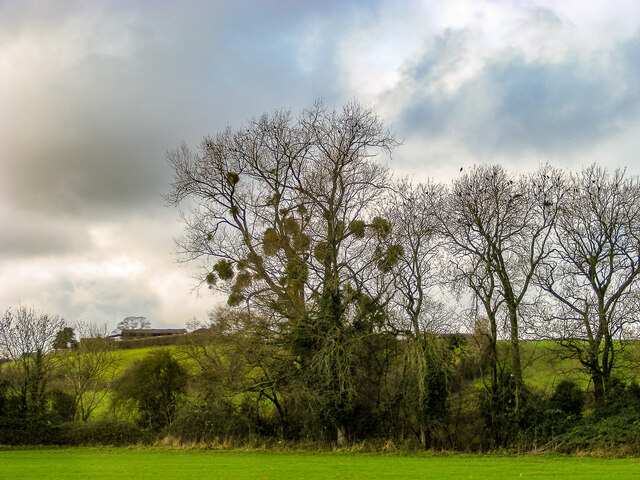
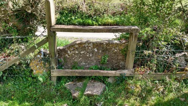
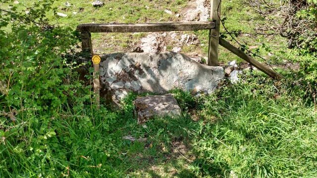
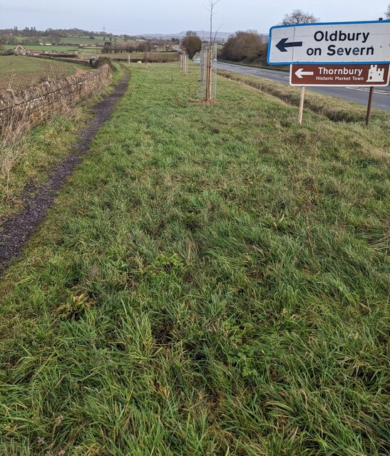
Nature enthusiasts are drawn to High Wood due to its proximity to the Forest of Dean, a renowned destination for outdoor activities. The forest offers ample opportunities for hiking, cycling, and wildlife spotting, with a plethora of trails and paths to explore. Visitors can also enjoy picnicking by the scenic lakes or indulging in birdwatching and nature photography.

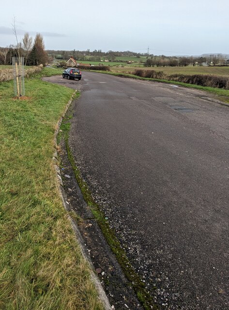
In terms of amenities, High Wood boasts a small but well-stocked village shop, providing essential groceries and household items for both residents and visitors. Additionally, the village is served by a reliable public transportation system, connecting it to nearby towns and cities.

Overall, High Wood, Gloucestershire, offers a charming and idyllic countryside experience, making it an attractive destination for those seeking peace and tranquility amidst nature's beauty.

If you have any feedback on the listing, please let us know in the comments section below.
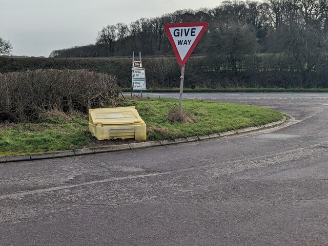
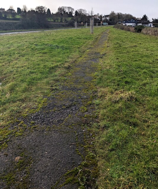
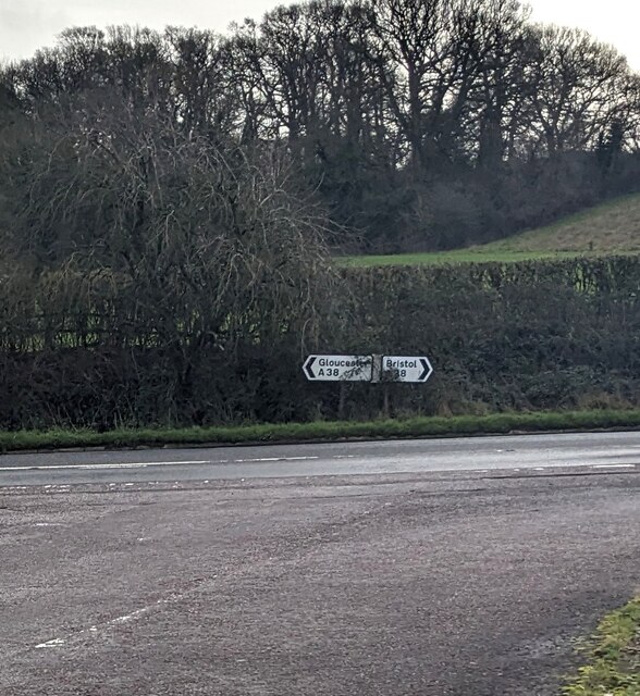
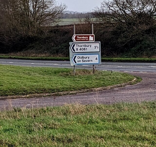
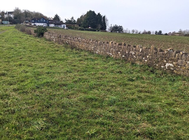
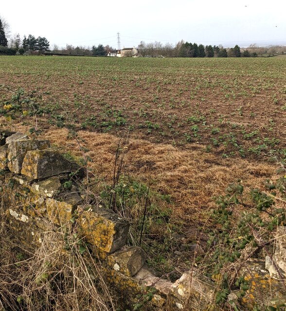
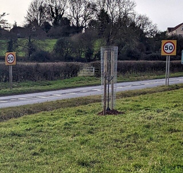
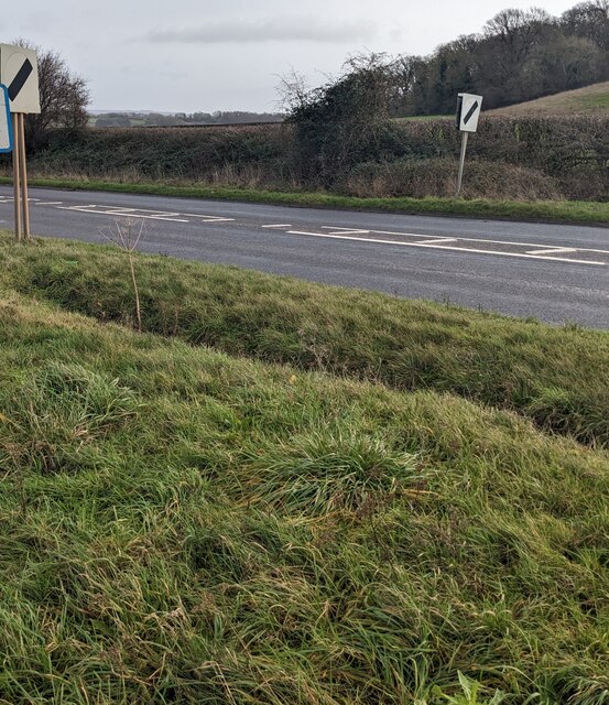
High Wood Images

Images are sourced within 2km of 51.613178/-2.4632654 or Grid Reference ST6890. Thanks to Geograph Open Source API. All images are credited.

A mistletoe infestation A phenomenon I had not seen before this journey along the M5, where a seemingly localised colony of mistletoe made itself known on the trees of Gloucestershire and Worcestershire. This tree is located near Whitfield, Thornbury.
A mistletoe infestation
A phenomenon I had not seen before this journey along the M5, where a seemingly localised colony of mistletoe made itself known on the trees of Gloucestershire and Worcestershire. This tree is located near Whitfield, Thornbury.
Stone Stile, Cromhall On Gloucestershire footpath OCR/7 looking towards Spring Lane. The view from the road is <a href="https://www.geograph.org.uk/photo/7220053">ST6890 : Stone Stile, Cromhall</a>.
Stone Stile, Cromhall
On Gloucestershire footpath OCR/7 looking towards Spring Lane. The view from the road is ST6890 : Stone Stile, Cromhall.
Stone Stile, Cromhall On Gloucestershire footpath OCR/7 looking from Spring Lane. The view to the road is <a href="https://www.geograph.org.uk/photo/7220050">ST6890 : Stone Stile, Cromhall</a>.
Stone Stile, Cromhall
On Gloucestershire footpath OCR/7 looking from Spring Lane. The view to the road is ST6890 : Stone Stile, Cromhall.
Old Gloucester Road, Buckover, South Gloucestershire Looking north along the B4061 Old Gloucester Road.
Ahead for Gloucester Road and Thornbury.
Behind the camera for the A38.
Old Gloucester Road, Buckover, South Gloucestershire
Looking north along the B4061 Old Gloucester Road. Ahead for Gloucester Road and Thornbury. Behind the camera for the A38.
Give Way sign, Old Gloucester Road, Buckover Alongside the B4061 Old Gloucester Road on the approach to the A38 in South Gloucestershire.
Give Way sign, Old Gloucester Road, Buckover
Alongside the B4061 Old Gloucester Road on the approach to the A38 in South Gloucestershire.
Path through grass, Buckover, South Gloucestershire The A38 is on the left.
Path through grass, Buckover, South Gloucestershire
The A38 is on the left.
A38 directions, Buckover, South Gloucestershire Facing the B4061. Left for Gloucester, right for Bristol.
A38 directions, Buckover, South Gloucestershire
Facing the B4061. Left for Gloucester, right for Bristol.
B4061 direction and distance signs, Buckover, South Gloucestershire The signs at the A38 junction are 2½ miles from Thornbury, 4 from Oldbury on Severn.
B4061 direction and distance signs, Buckover, South Gloucestershire
The signs at the A38 junction are 2½ miles from Thornbury, 4 from Oldbury on Severn.
Long stone wall, Buckover, South Gloucestershire Set back from the A38.
Long stone wall, Buckover, South Gloucestershire
Set back from the A38.
Farmland in winter, Buckover, South Gloucestershire Viewed from this <a title="https://www.geograph.org.uk/photo/7372786" href="https://www.geograph.org.uk/photo/7372786">Link</a> stone wall in January 2023.
Farmland in winter, Buckover, South Gloucestershire
Viewed from this Link stone wall in January 2023.
Start of the 50 zone, Buckover, South Gloucestershire The National Speed Limit on the A38 drops to 50mph.
Start of the 50 zone, Buckover, South Gloucestershire
The National Speed Limit on the A38 drops to 50mph.
End of the 50 zone, Buckover, South Gloucestershire The 50mph speed limit on the A38 increases to the National Speed Limit.
End of the 50 zone, Buckover, South Gloucestershire
The 50mph speed limit on the A38 increases to the National Speed Limit.
Directions alongside the A38, Buckover, South Gloucestershire Turn left onto the B4061 ahead for Oldbury on Severn and Thornbury (Historic Market Town).
Directions alongside the A38, Buckover, South Gloucestershire
Turn left onto the B4061 ahead for Oldbury on Severn and Thornbury (Historic Market Town).
The White Horse, Buckover, South Gloucestershire In January 2023 the  White Horse nameboard shows "pub & dining".
The White Horse, Buckover, South Gloucestershire
In January 2023 the White Horse nameboard shows "pub & dining".
White Horse depiction, Buckover, South Gloucestershire On the wall here. <a title="https://www.geograph.org.uk/photo/7372807" href="https://www.geograph.org.uk/photo/7372807">Link</a>
White Horse depiction, Buckover, South Gloucestershire
On the wall here. Link
The White Horse pub & dining name sign, Buckover Hanging from a wall bracket on the left here <a title="https://www.geograph.org.uk/photo/7372807" href="https://www.geograph.org.uk/photo/7372807">Link</a> in January 2023.
The White Horse pub & dining name sign, Buckover
Hanging from a wall bracket on the left here Link in January 2023.
Gloucester and Thornbury directions, Buckover  Alongside the A38. The White Horse pub & dining <a title="https://www.geograph.org.uk/photo/7372807" href="https://www.geograph.org.uk/photo/7372807">Link</a> is behind the camera.
Gloucester and Thornbury directions, Buckover
Alongside the A38. The White Horse pub & dining Link is behind the camera.
Danger -  Busy Road, Buckover, South Gloucestershire Please drive carefully as you leave the White Horse pub & dining <a title="https://www.geograph.org.uk/photo/7372807" href="https://www.geograph.org.uk/photo/7372807">Link</a> and enter the A38.
Danger - Busy Road, Buckover, South Gloucestershire
Please drive carefully as you leave the White Horse pub & dining Link and enter the A38.
Show me another place!

High Wood is located at Grid Ref: ST6890 (Lat: 51.613178, Lng: -2.4632654)

Unitary Authority: South Gloucestershire

Police Authority: Avon and Somerset

What 3 Words

///abundance.desks.pounces. Near Tytherington, Gloucestershire

Related Wikis

Brinkmarsh Quarry

Brinkmarsh Quarry (grid reference ST674913) is a 0.5 hectare geological Site of Special Scientific Interest near the town of Thornbury, South Gloucestershire...

Whitfield, Gloucestershire

Whitfield is a hamlet in South Gloucestershire, England. == Location == It is on the A38 near Falfield. Located just beyond the B4061 junction, the rural...

Buckover Road Cutting

Buckover Road Cutting (grid reference ST665906) is a 1.7 hectare geological Site of Special Scientific Interest near the town of Thornbury, South Gloucestershire...

Milbury Heath

Milbury Heath is a hamlet in South Gloucestershire, England, located east of Thornbury. The hamlet has a garden centre and a few other farm shops. The...

Bibstone

Bibstone is a village in Gloucestershire, England. == External links == Media related to Bibstone at Wikimedia Commons

Tytherington, Gloucestershire

Tytherington is a village in the civil parish of Tytherington and Itchington, in the South Gloucestershire district, in the ceremonial county of Gloucestershire...

Tytherington Rocks F.C.

Tytherington Rocks F.C. is a football club based in Tytherington, near Thornbury, Gloucestershire, England. The club competes in the Hellenic League Division...

Cromhall

Cromhall is a village in South Gloucestershire, England. It is located between Bagstone and Charfield on the B4058, and also borders Leyhill. The parish...

Nearby Amenities

Located within 500m of 51.613178,-2.4632654
Power: tower
Source: Bing
Lat/Long: 51.6105616/-2.4674018
The Combe
Lat/Long: 51.6121862/-2.4561989
Barrier: stile
Lat/Long: 51.6171565/-2.4600851
The data included in this document is from www.openstreetmap.org. The data is made available under ODbL.

Have you been to High Wood?

Leave your review of High Wood below (or comments, questions and feedback).