Abbotside

Settlement in Gloucestershire

England

Abbotside

Welcome to CROMHALL -  Please drive carefully The 50mph speed limit on the B4058 Bristol Road in South Gloucestershire here drops to 30mph.
Welcome to CROMHALL - Please drive carefully Credit: Jaggery

Abbotside is a charming village located in the county of Gloucestershire, in the southwest of England. Situated amidst the picturesque countryside, it is surrounded by rolling hills and lush green meadows, offering breathtaking views of the Cotswold Area of Outstanding Natural Beauty.

The village is known for its rich history, dating back to the medieval period. It is home to several historical landmarks, including the St. Mary's Church, a beautiful 12th-century building with stunning architecture and intricate stained glass windows. The church stands as a testament to the village's religious heritage and serves as a gathering place for the local community.

Abbotside is a close-knit community with a population of approximately 500 residents. The village exudes a peaceful and tranquil atmosphere, making it an ideal place for those seeking a slower pace of life away from the bustling cities. The locals are friendly and welcoming, creating a warm and inclusive environment for visitors.

While Abbotside is primarily a residential area, it offers a range of amenities to cater to the needs of its residents. These include a village hall, a primary school, and a small convenience store. The village is well-connected to the nearby towns and cities, with good transport links, enabling residents to easily access essential services and facilities.

Nature enthusiasts are drawn to Abbotside for its stunning natural surroundings. The village is a starting point for numerous scenic walks and hikes, allowing visitors to explore the idyllic countryside and appreciate its beauty up close. The nearby Cotswold Way provides opportunities for outdoor activities such as cycling and horse riding.

In conclusion, Abbotside is a charming village in Gloucestershire that offers a peaceful and idyllic lifestyle amidst beautiful natural landscapes. With its rich history, welcoming community, and proximity to the Cotswold Area of Outstanding Natural Beauty, Abbotside is a place that captivates both residents and visitors alike.

If you have any feedback on the listing, please let us know in the comments section below.
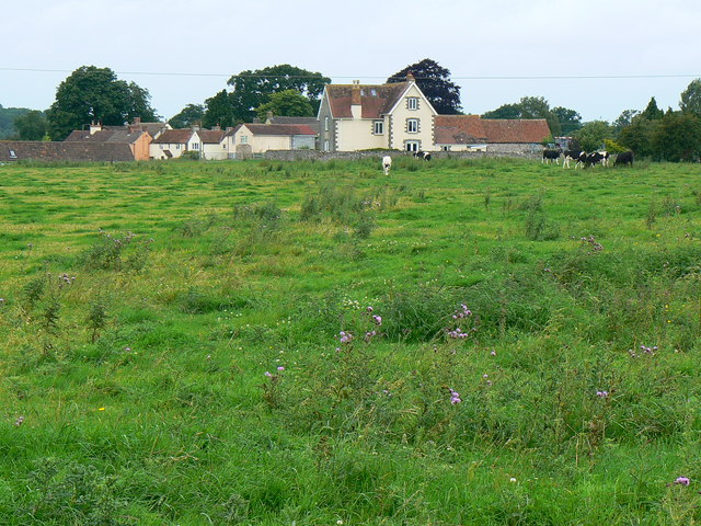
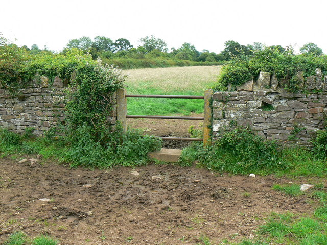
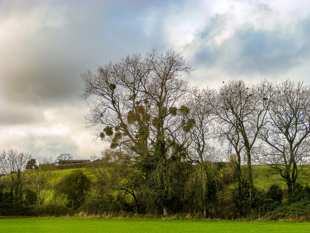
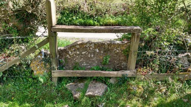
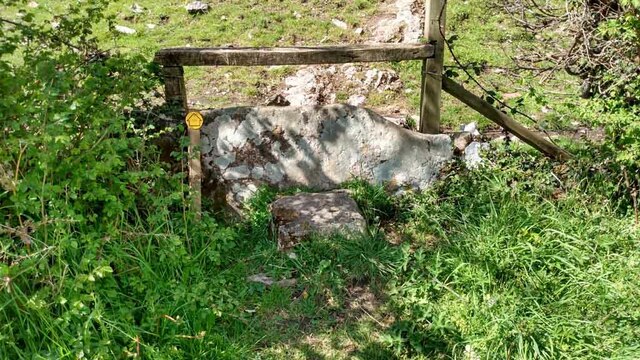
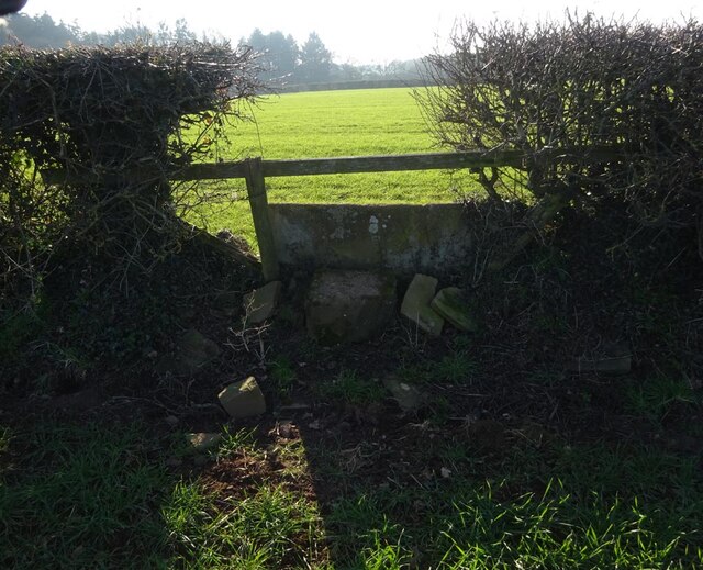
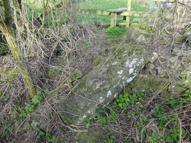
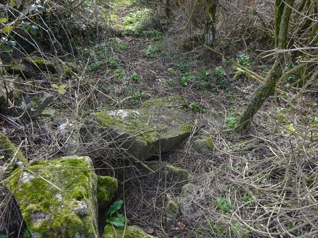
Abbotside Images

Images are sourced within 2km of 51.613509/-2.452235 or Grid Reference ST6890. Thanks to Geograph Open Source API. All images are credited.

Welcome to CROMHALL -  Please drive carefully The 50mph speed limit on the B4058 Bristol Road in South Gloucestershire here drops to 30mph.
Welcome to CROMHALL - Please drive carefully
The 50mph speed limit on the B4058 Bristol Road in South Gloucestershire here drops to 30mph.
Footpath towards Heath End The footpath stretches from the viewpoint towards the housing in the background. Although signposted, the path is hard to discern on the ground.
Footpath towards Heath End
The footpath stretches from the viewpoint towards the housing in the background. Although signposted, the path is hard to discern on the ground.
Stile and footpath near Heath End The stile isn't particularly user-friendly by comparison with other designs to be seen. The rather ill-defined footpath carries on towards the hedge in the distance.
Stile and footpath near Heath End
The stile isn't particularly user-friendly by comparison with other designs to be seen. The rather ill-defined footpath carries on towards the hedge in the distance.
A mistletoe infestation A phenomenon I had not seen before this journey along the M5, where a seemingly localised colony of mistletoe made itself known on the trees of Gloucestershire and Worcestershire. This tree is located near Whitfield, Thornbury.
A mistletoe infestation
A phenomenon I had not seen before this journey along the M5, where a seemingly localised colony of mistletoe made itself known on the trees of Gloucestershire and Worcestershire. This tree is located near Whitfield, Thornbury.
Stone Stile, Cromhall On Gloucestershire footpath OCR/7 looking towards Spring Lane. The view from the road is <a href="https://www.geograph.org.uk/photo/7220053">ST6890 : Stone Stile, Cromhall</a>.
Stone Stile, Cromhall
On Gloucestershire footpath OCR/7 looking towards Spring Lane. The view from the road is ST6890 : Stone Stile, Cromhall.
Stone Stile, Cromhall On Gloucestershire footpath OCR/7 looking from Spring Lane. The view to the road is <a href="https://www.geograph.org.uk/photo/7220050">ST6890 : Stone Stile, Cromhall</a>.
Stone Stile, Cromhall
On Gloucestershire footpath OCR/7 looking from Spring Lane. The view to the road is ST6890 : Stone Stile, Cromhall.
Tortworth Court Hotel
Tortworth Court Hotel - framed
Stone Stile, Milbury Heath GS9558 On Gloucestershire footpath OTH/117 looking SW, the view NE is <a href="https://www.geograph.org.uk/photo/7406205">ST6690 : Stone Stile, Milbury Heath GS9558</a>.
Stone Stile, Milbury Heath GS9558
On Gloucestershire footpath OTH/117 looking SW, the view NE is ST6690 : Stone Stile, Milbury Heath GS9558.
Stone Stile, Milbury Heath GS9558 On Gloucestershire footpath OTH/117 looking NE, the view SW is <a href="https://www.geograph.org.uk/photo/7406204">ST6690 : Stone Stile, Milbury Heath GS9558</a>.
Stone Stile, Milbury Heath GS9558
On Gloucestershire footpath OTH/117 looking NE, the view SW is ST6690 : Stone Stile, Milbury Heath GS9558.
Stone Stiles, Cromhall On Gloucestershire footpath OCR/36 just as it exits the trees. Part of Abbots-side Court Farm. This view is looking SE out from the wood, the view back is <a href="https://www.geograph.org.uk/photo/7412321">ST6890 : Stone Stiles, Cromhall</a>.
Stone Stiles, Cromhall
On Gloucestershire footpath OCR/36 just as it exits the trees. Part of Abbots-side Court Farm. This view is looking SE out from the wood, the view back is ST6890 : Stone Stiles, Cromhall.
Stone Stiles, Cromhall On Gloucestershire footpath OCR/36 just as it exits the trees. Part of Abbots-side Court Farm. This view is looking SE into the wood, the view back is <a href="https://www.geograph.org.uk/photo/7412319">ST6890 : Stone Stiles, Cromhall</a>.
Stone Stiles, Cromhall
On Gloucestershire footpath OCR/36 just as it exits the trees. Part of Abbots-side Court Farm. This view is looking SE into the wood, the view back is ST6890 : Stone Stiles, Cromhall.
Stone Stiles, Cromhall A "Fallen Idle" on Gloucestershire footpath OCR/5 looking North into fields from Spring Lane.
Stone Stiles, Cromhall
A "Fallen Idle" on Gloucestershire footpath OCR/5 looking North into fields from Spring Lane.
Stone Stiles, Cromhall On Gloucestershire footpath OCR/4 looking from Gambril Hill. The view looking to the road is <a href="https://www.geograph.org.uk/photo/7412378">ST6890 : Stone Stiles, Cromhall</a>.
Stone Stiles, Cromhall
On Gloucestershire footpath OCR/4 looking from Gambril Hill. The view looking to the road is ST6890 : Stone Stiles, Cromhall.
Stone Stiles, Cromhall On Gloucestershire footpath OCR/4 looking to Gambril Hill. The view looking from the road is <a href="https://www.geograph.org.uk/photo/7412376">ST6890 : Stone Stiles, Cromhall</a>.
Stone Stiles, Cromhall
On Gloucestershire footpath OCR/4 looking to Gambril Hill. The view looking from the road is ST6890 : Stone Stiles, Cromhall.
Stone Stiles, Cromhall On Gloucestershire footpath OCR/7 looking to the South side of Spring Lane. The view from the road is <a href="https://www.geograph.org.uk/photo/7412393">ST6990 : Stone Stiles, Cromhall</a>.
Stone Stiles, Cromhall
On Gloucestershire footpath OCR/7 looking to the South side of Spring Lane. The view from the road is ST6990 : Stone Stiles, Cromhall.
Stone Stiles, Cromhall On Gloucestershire footpath OCR/7 looking from the South side of Spring Lane. The view towards the road is <a href="https://www.geograph.org.uk/photo/7412391">ST6990 : Stone Stiles, Cromhall</a>.
Stone Stiles, Cromhall
On Gloucestershire footpath OCR/7 looking from the South side of Spring Lane. The view towards the road is ST6990 : Stone Stiles, Cromhall.
Stone Stiles, Cromhall On Gloucestershire footpath OCR/7 near the church, looking SW. The view NE is <a href="https://www.geograph.org.uk/photo/7412409">ST6990 : Stone Stiles, Cromhall</a>.
Stone Stiles, Cromhall
On Gloucestershire footpath OCR/7 near the church, looking SW. The view NE is ST6990 : Stone Stiles, Cromhall.
Show me another place!

Abbotside is located at Grid Ref: ST6890 (Lat: 51.613509, Lng: -2.452235)

Unitary Authority: South Gloucestershire

Police Authority: Avon and Somerset

What 3 Words

///ombudsman.definite.mountain. Near Falfield, Gloucestershire

Related Wikis

Nearby Amenities

Located within 500m of 51.613509,-2.452235
Barrier: stile
Foot: yes
Lat/Long: 51.6129532/-2.4455419
Barrier: stile
Lat/Long: 51.6159226/-2.4465775
Barrier: stile
Lat/Long: 51.6164816/-2.4468708
Barrier: stile
Lat/Long: 51.6164367/-2.4478551
Waste Basket
Waste: dog_excrement
Lat/Long: 51.6121936/-2.4453739
Barrier: stile
Foot: yes
Lat/Long: 51.6121784/-2.4453587
Barrier: stile
Foot: yes
Lat/Long: 51.613583/-2.4452033
War memorial
Historic: memorial
Url: http://www.cromhall.com/history_warmemorial.html
Lat/Long: 51.6121507/-2.4454659
Power: pole
Lat/Long: 51.611298/-2.4465229
Power: pole
Lat/Long: 51.6119097/-2.4474098
The Combe
Lat/Long: 51.6121862/-2.4561989
Barn Lane
Lat/Long: 51.6120896/-2.454713
Barrier: stile
Lat/Long: 51.6145949/-2.4511868
Barrier: stile
Lat/Long: 51.6140895/-2.4495806
Fixme: incomplete
Lat/Long: 51.6137728/-2.4455579
Ref: 4
Telephone: pole
Lat/Long: 51.61379/-2.4450685
Power: pole
Lat/Long: 51.6131539/-2.451417
Telephone: pole
Lat/Long: 51.6131961/-2.451531
Telephone: pole
Lat/Long: 51.6140296/-2.4480088
Power: pole
Lat/Long: 51.6140853/-2.4479022
Telephone: pole
Lat/Long: 51.6146876/-2.4507042
Power: pole
Lat/Long: 51.6147074/-2.4503165
Ref: 3
Telephone: pole
Lat/Long: 51.6150161/-2.4509049
Telephone: pole
Lat/Long: 51.6151229/-2.4513475
Power: pole
Lat/Long: 51.6152445/-2.450019
Ref: 4
Telephone: pole
Lat/Long: 51.6153926/-2.450653
Ref: 5
Telephone: pole
Lat/Long: 51.6158646/-2.4504118
Power: pole
Lat/Long: 51.6160729/-2.4495859
Ref: 6
Telephone: pole
Lat/Long: 51.6164086/-2.4505499
Abbotside
Place: locality
Source: OS Open Names
Lat/Long: 51.6135105/-2.452234
Barrier: stile
Stile: stepover
Lat/Long: 51.6150136/-2.4542162
The data included in this document is from www.openstreetmap.org. The data is made available under ODbL.

Have you been to Abbotside?

Leave your review of Abbotside below (or comments, questions and feedback).