Abbotsmead
Settlement in Lancashire Barrow-in-Furness
England
Abbotsmead
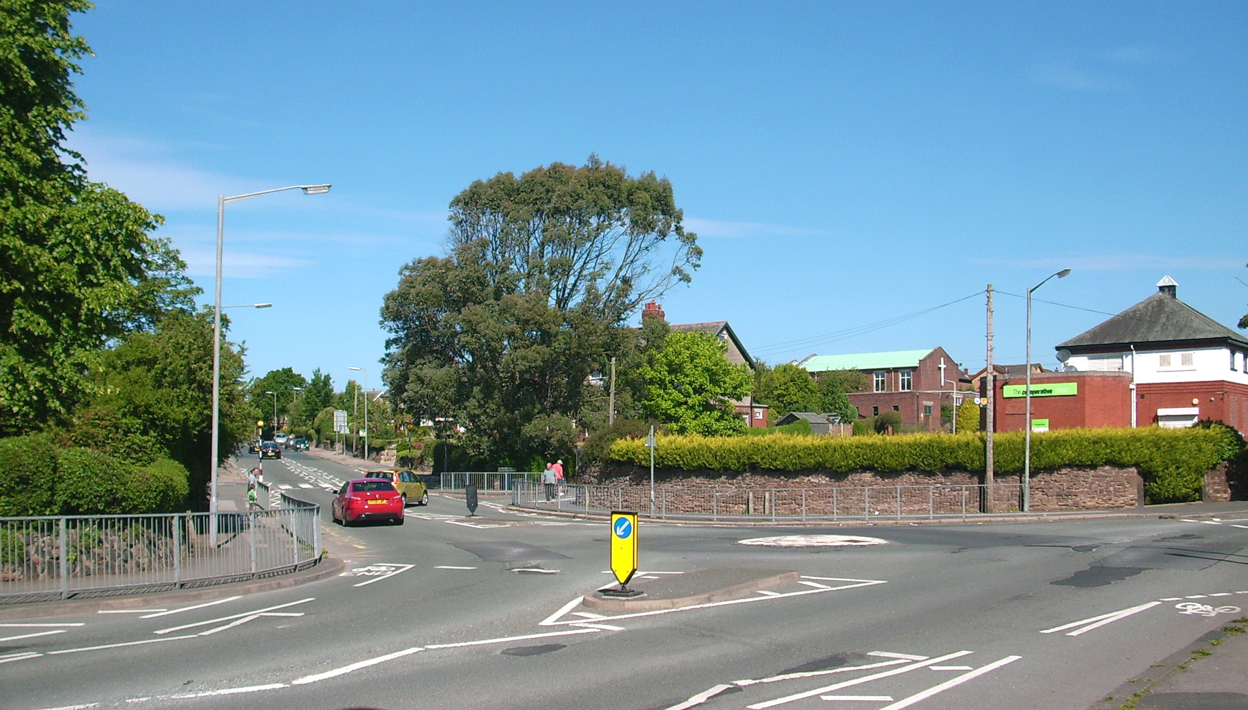
Abbotsmead is a small village located in the county of Lancashire, England. Situated in the picturesque countryside, it is surrounded by rolling hills and lush green fields. The village is known for its peaceful and serene atmosphere, making it an ideal place for those seeking a quiet and tranquil lifestyle.
Historically, Abbotsmead was a farming community, and remnants of its agricultural past can still be seen today. The village is dotted with charming old farmhouses and barns, some of which have been converted into residential homes. The agriculture industry continues to play a significant role in the local economy, with many residents still engaged in farming activities.
Despite its rural setting, Abbotsmead is well-connected to neighboring towns and cities. The village is conveniently located near major road networks, allowing for easy access to nearby amenities and attractions. The bustling town of Lancashire is just a short drive away, offering a wide range of shopping, dining, and entertainment options.
Abbotsmead is also blessed with natural beauty, with several walking trails and nature reserves in the vicinity. The countryside surrounding the village provides ample opportunities for outdoor activities such as hiking, cycling, and birdwatching.
Overall, Abbotsmead is a charming and idyllic village that offers a peaceful and picturesque setting for its residents. With its rich history, stunning countryside, and close proximity to amenities, it is a highly sought-after place to live for those seeking a quieter pace of life.
If you have any feedback on the listing, please let us know in the comments section below.
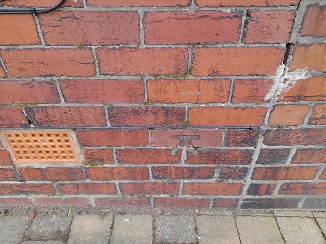
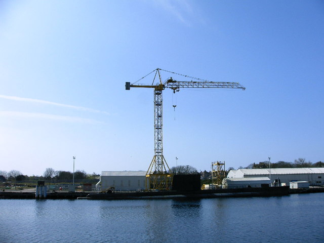
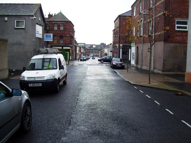
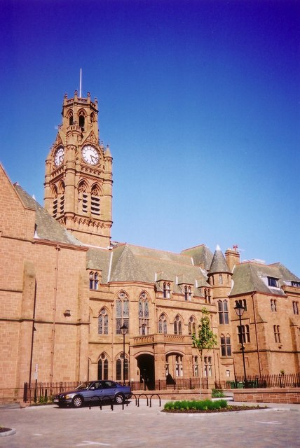
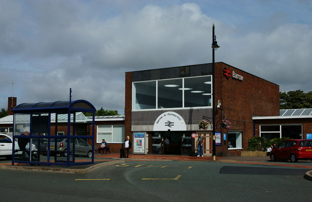
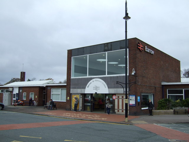
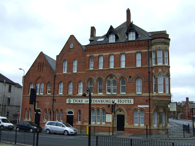
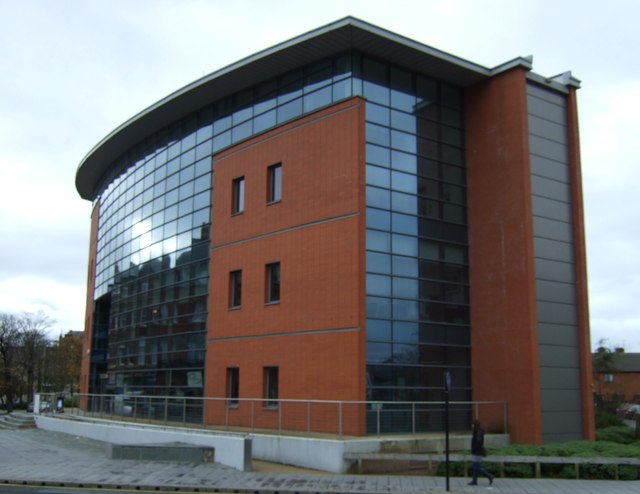
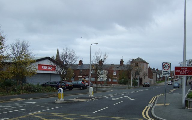
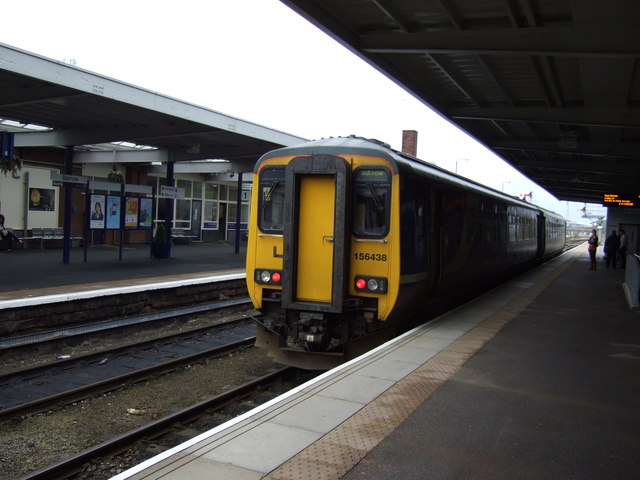
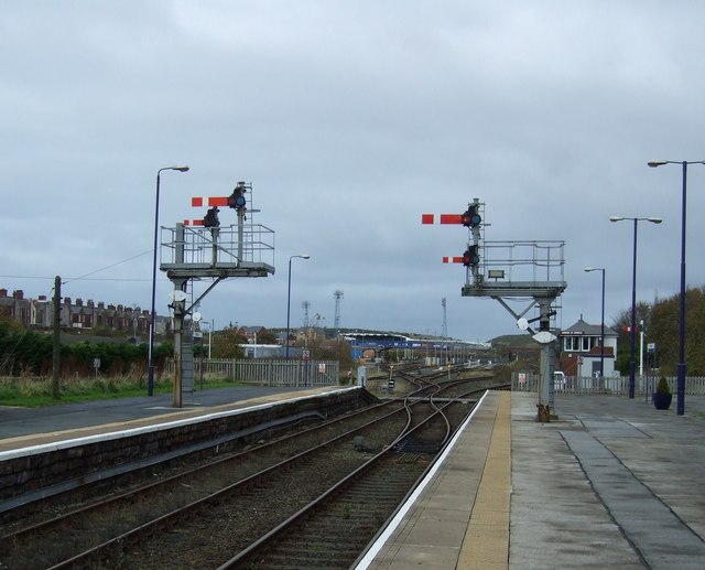
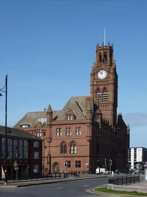
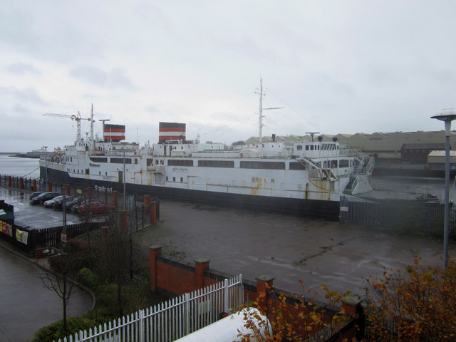
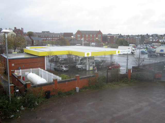
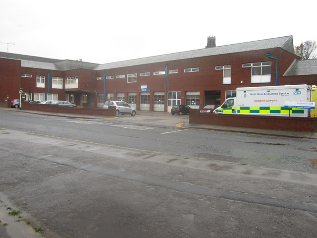
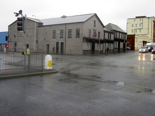
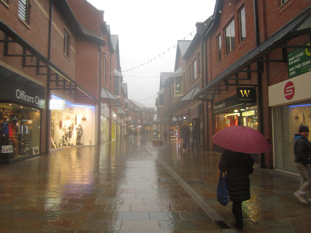
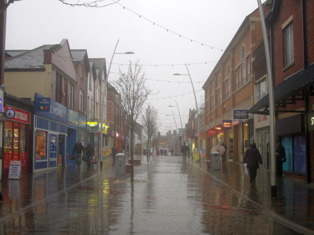
Abbotsmead Images
Images are sourced within 2km of 54.115941/-3.2013531 or Grid Reference SD2169. Thanks to Geograph Open Source API. All images are credited.
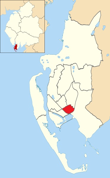
Abbotsmead is located at Grid Ref: SD2169 (Lat: 54.115941, Lng: -3.2013531)
Administrative County: Cumbria
District: Barrow-in-Furness
Police Authority: Cumbria
What 3 Words
///agree.unrealistic.mini. Near Barrow in Furness, Cumbria
Nearby Locations
Related Wikis
Risedale
Risedale is an area and ward of Barrow-in-Furness, Cumbria, England. It is bordered by Barrow town centre, Parkside, Newbarns and Roose and had a population...
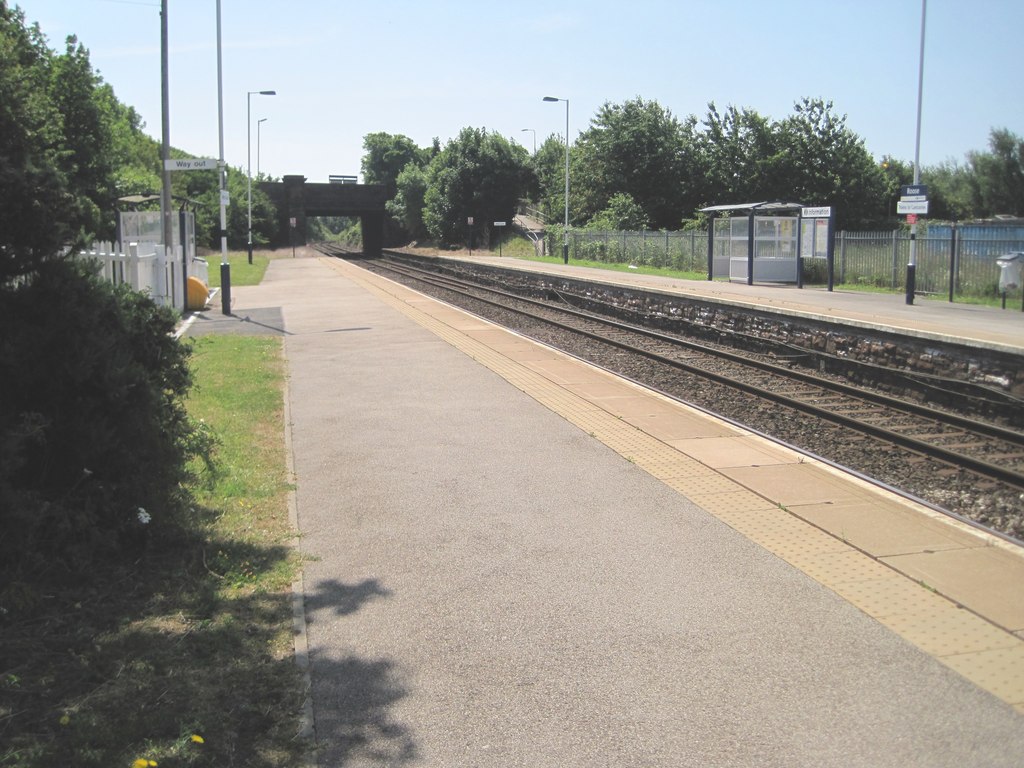
Roose railway station
Roose is a railway station on the Furness Line, which runs between Barrow-in-Furness and Lancaster. The station, situated 1+3⁄4 miles (3 km) east of Barrow...

Furness Academy
Furness Academy is a secondary school in Barrow-in-Furness, England. It is the fourth academy to have been formed in the county of Cumbria after the closure...
Newbarns
Newbarns is an area and electoral ward of Barrow-in-Furness, Cumbria, England. It is bordered by Hawcoat, Parkside, Risedale and Roose, the local population...

Salthouse, Barrow-in-Furness
Salthouse is an area of Barrow-in-Furness, Cumbria, England. Centred on Salthouse Road to the east of the town centre it was historically a ward in its...

Parkside, Barrow-in-Furness
Parkside is an area and electoral ward of Barrow-in-Furness, Cumbria, England. It is bordered by Hindpool, Ormsgill, Hawcoat, Newbarns and Risedale and...
Barrow Park
Barrow Park is a 45-acre public park in Barrow-in-Furness, Cumbria, England. It is located entirely within the Parkside ward, to which the park lends its...
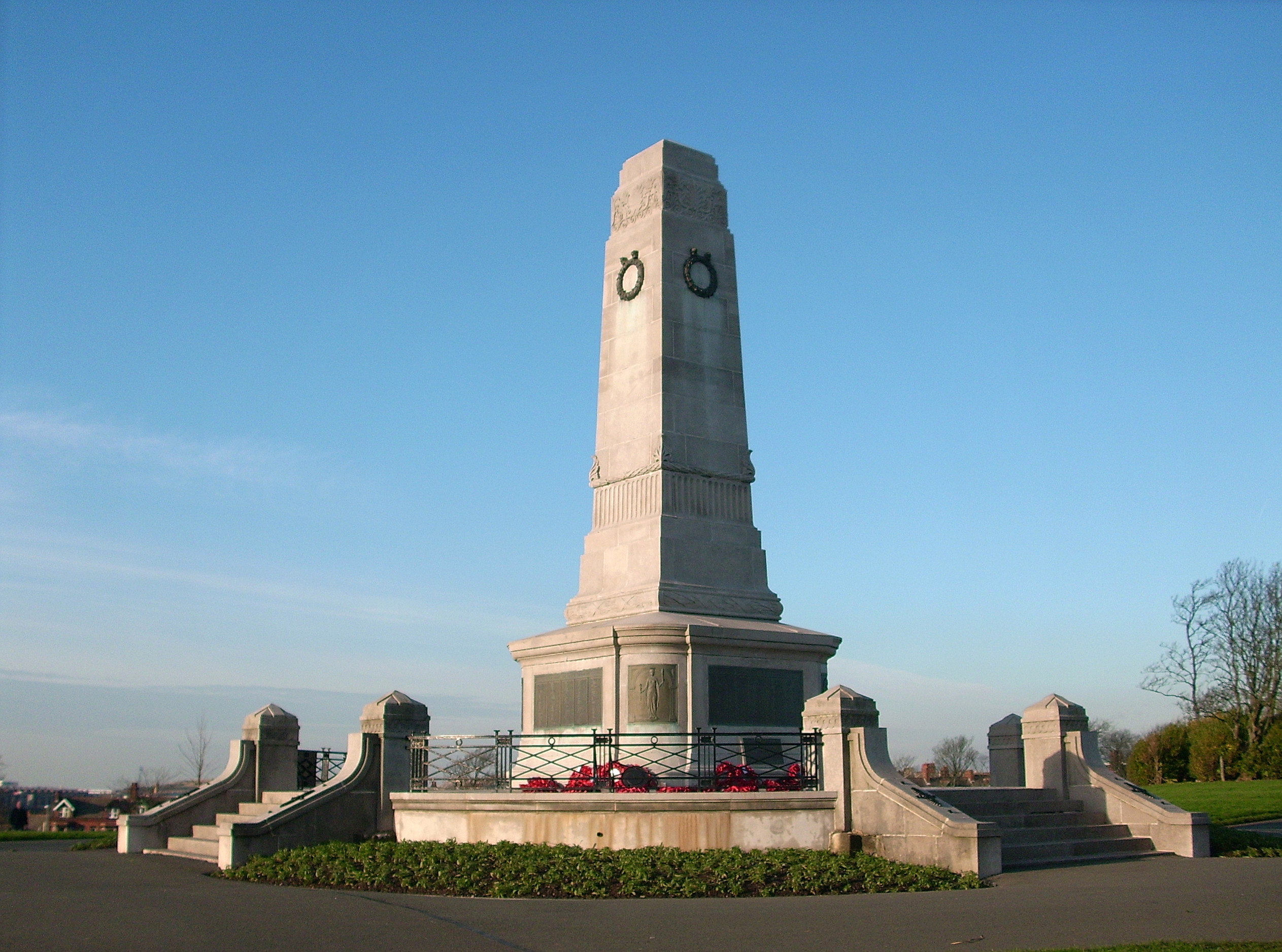
Barrow Park Cenotaph
The Barrow Park Cenotaph is the main war memorial in the UK town of Barrow-in-Furness, Cumbria, North West England. Located in Barrow's main public park...
Nearby Amenities
Located within 500m of 54.115941,-3.2013531Have you been to Abbotsmead?
Leave your review of Abbotsmead below (or comments, questions and feedback).